The Nomination Dossier is comprised of four volumes:
This sets out why the Lake District is internationally special, described in the document as being of ‘Outstanding Universal Value’. It describes the Lake District and its history as a whole and gives detail on how the site is managed and monitored. Written to the requirements prescribed by UNESCO’s published ‘Operational Guidelines’, the Nomination Document considers the Lake District purely from a World Heritage Site perspective, presenting the case for inscription and is academic in approach to meet UNESCO’s requirements.
Provides a more detailed description and history for each of the 13 valleys.
Copies of legal texts and management plans that apply to the area.
This Management Plan has now been succeeded by the 2020-2026 Partnership Plan. It does however contain useful background information but for current strategies and actions please refer to the 2020-2026 Partnership’s Plan. A current plan is now under review.
The Management Plan for the English Lake District 2015 – 2020
- The Partnership’s Plan is the management plan for the Lake District both as a National Park and a potential World Heritage Site. It outlines the single management approach agreed by a collection of 25 key organisations. Adopted in December 2015, this Plan covers the period from 2015-2020 and outlines the strategies we will use to inform decisions about the Lake District, together with actions to deliver the Lake District’s Vision, and targets to monitor progress of what we are seeking to achieve.
Volume 1: Nomination Document
Due to the size of the document it has been split into sections, which are listed below:
- 1.0 Exec Summary and Identification of the Property (PDF File 3.0 MB)
- 2.0 Introduction to The English Lake District (PDF File 734.4 KB)
- 2.a Description of The English Lake District (PDF File 2.8 MB)
- 2.b History and Development of The English Lake District (PDF File 3.1 MB)
- 2.c.0 Introduction to the 13 Valleys of The English Lake District (PDF File 411.0 KB)
- 2.c.1 Langdale (PDF File 2.0 MB)
- 2.c.2 Windermere (PDF File 4.7 MB)
- 2.c.3 Coniston (PDF File 3.3 MB)
- 2.c.4 Duddon (PDF File 2.6 MB)
- 2.c.5 Eskdale (PDF File 2.1 MB)
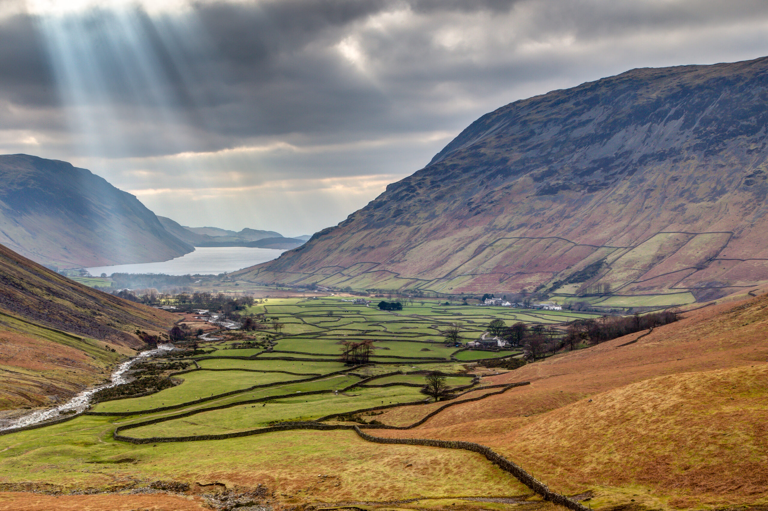
- 2.c.6 Wasdale (PDF File 2.4 MB)
- 2.c.7 Ennerdale (PDF File 2.2 MB)
- 2.c.8 Buttermere (PDF File 2.6 MB)
- 2.c.9 Borrowdale and Bassenthwaite (PDF File 5.6 MB)
- 2.c.10 Thirlmere (PDF File 2.1 MB)
- 2.c.11 Ullswater (PDF File 2.9 MB)
- 2.c.12 Haweswater (PDF File 2.6 MB)
- 2.c.13 Grasmere, Rydal, Ambleside (PDF File 2.8 MB)
- 3.0 Justification for Inscription (PDF File 1.5 MB)
- 4.0 State of Conservation and factors affecting the Property (PDF File 1.2 MB)
- 5.0 Protection and Management of the Property (PDF File 1.2 MB)
- 6.0 Monitoring (PDF File 458.4 KB)
- 7.0-10 Documentation and Glossary (PDF File 1.4 MB)
Or to view as one document you can access it via a dropbox link here. Please note this is a 50MB file and may not download on all machines.
Volume 2: Valley Descriptions and History
Due to the size of the document it has been split into sections, which are listed below:
- 0. Contents, Introduction and Glossary (PDF File 1.1 MB)
- 1. Langdale (PDF File 2.1 MB)
- 2. Windermere (PDF File 4.7 MB)
- 3. Coniston (PDF File 3.3 MB)
- 4. Duddon (PDF File 2.8 MB)
- 5. Eskdale (PDF File 2.1 MB)
- 6. Wasdale (PDF File 2.5 MB)
- 7. Ennerdale (PDF File 2.1 MB)
- 8. Buttermere (PDF File 2.6 MB)
- 9. Borrowdale and Bassenthwaite (PDF File 5.7 MB)
- 10. Thirlmere (PDF File 1.9 MB)
- 11. Ullswater (PDF File 2.8 MB)
- 12. Haweswater (PDF File 2.8 MB)
- 13. Grasmere, Rydal, Ambleside (PDF File 3.2 MB)
Or to view as one document you can access it via a dropbox link here. Please note this is a 50MB file and may not download on all machines.
Volume 3: Appendices – Section 7.b Texts
A list of the legal texts and management plans in this volume is available in section 7.b of Volume 1. These are all copies of existing plans published elsewhere on the internet which are available free of charge, therefore have not been repeated here.
Volume 4: The Partnership’s Plan
This has now been succeeded.
Due to the size of the document it has been split into sections, which are listed below:
- 1.0 Contents, location and profile (PDF File 3.0 MB)
- 2.0 Outstanding Universal Value, Special Qualities, Risks, Vision (PDF File 7.1 MB)
- 2.1 Langdale valley illustration and images (PDF File 1.8 MB)
- 2.2 Windermere valley illustrations and images (PDF File 6.6 MB)
- 2.3 Coniston valley illustrations and images (PDF File 2.7 MB)
- 2.4 Duddon valley illustrations and images (PDF File 1.9 MB)
- 2.5 Eskdale valley illustrations and images (PDF File 1.6 MB)
- 2.6 Wasdale valley illustrations and images (PDF File 4.7 MB)
- 2.7 Ennerdale valley illustration and images.pdf (PDF File 2.3 MB)
- 2.8 Buttermere valley illustrations and images.pdf (PDF File 2.5 MB)
- 2.9 Bassenthwaite and Borrowdale valley illustration and images.pdf (PDF File 5.2 MB)
- 2.10 Thirlmere valley illustration and images.pdf (PDF File 2.8 MB)
- 2.11 Ullswater valley illustration and images (PDF File 2.1 MB)
- 2.12 Haweswater valley illustration and images (PDF File 3.8 MB)
- 2.13 Grasmere, Rydal, Ambleside valley illustration and images (PDF File 2.3 MB)
- 3.0 The Strategies.pdf (PDF File 6.7 MB)
- 4.0 Implementation, Actions, Monitoring, Research (PDF File 5.6 MB)
- 5.0 Appendices (PDF File 3.6 MB)
Or to view as one document you can access it via a dropbox link here. Please note this is a 50MB file and may not download on all machines.