


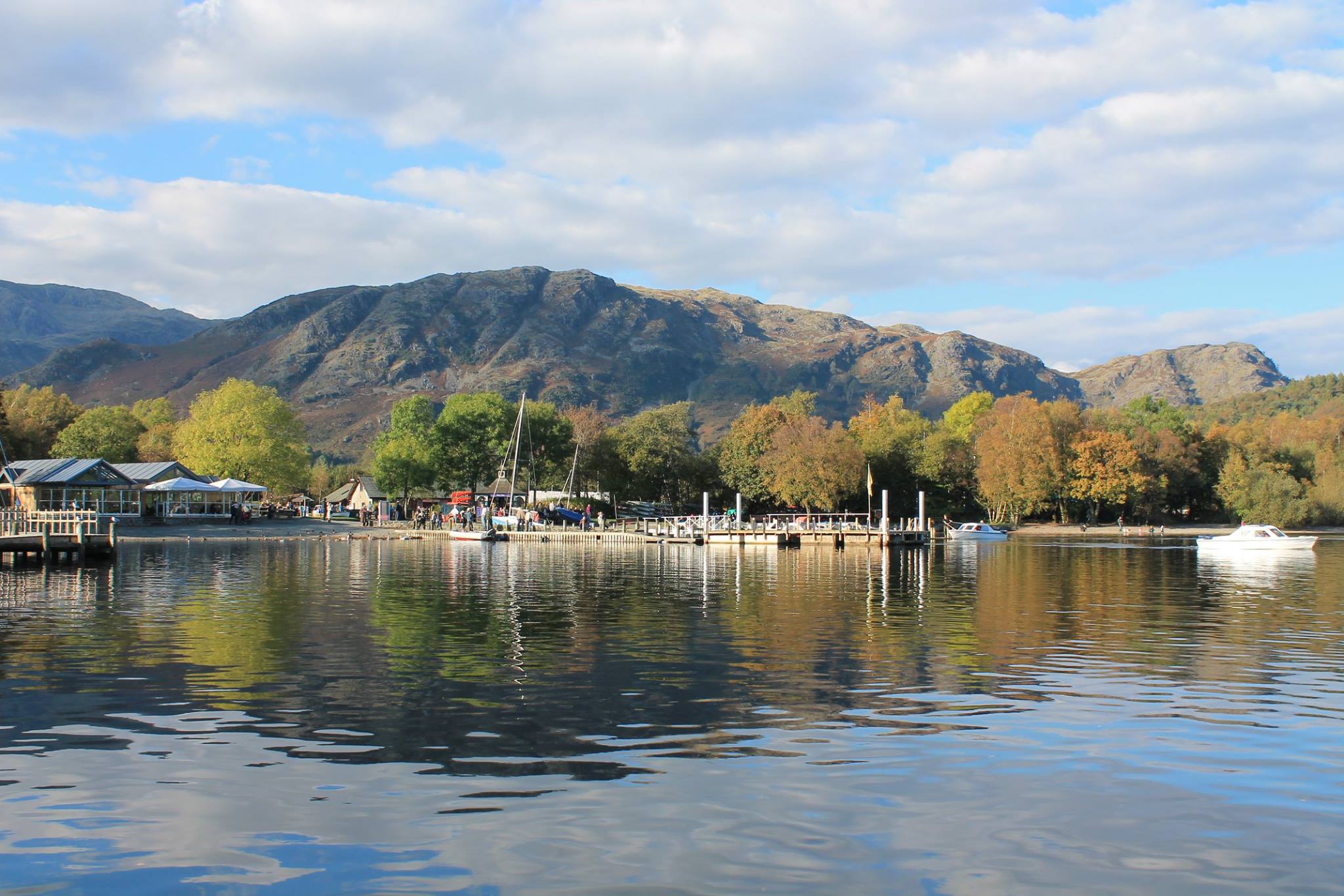
Weatherline
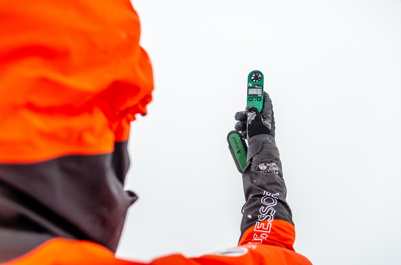
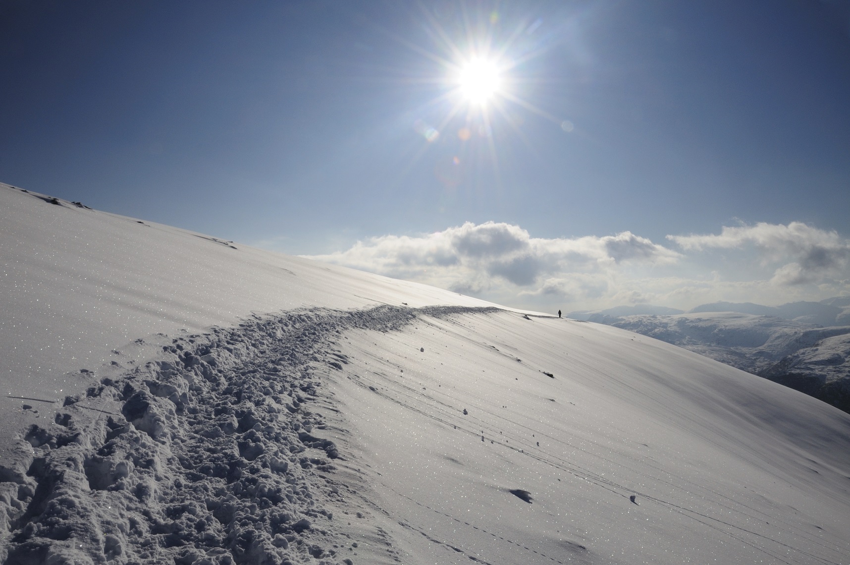
From December to April every year our daily weather service, Weatherline, records winter conditions daily from the summit of Helvellyn, the Lake District’s busiest mountain in winter. Recorded by our expert Fell Top Assessors, the report includes mountain conditions, photos and a description of the weather on Helvellyn that day.
Fell Top Assessors
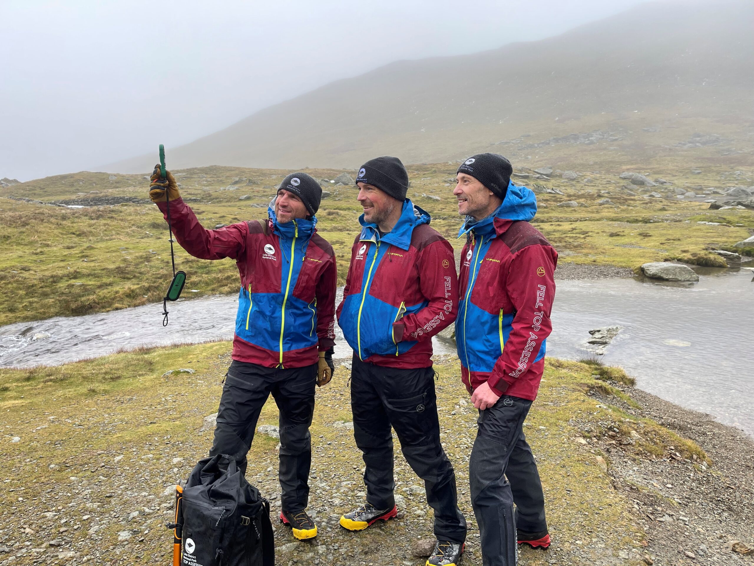
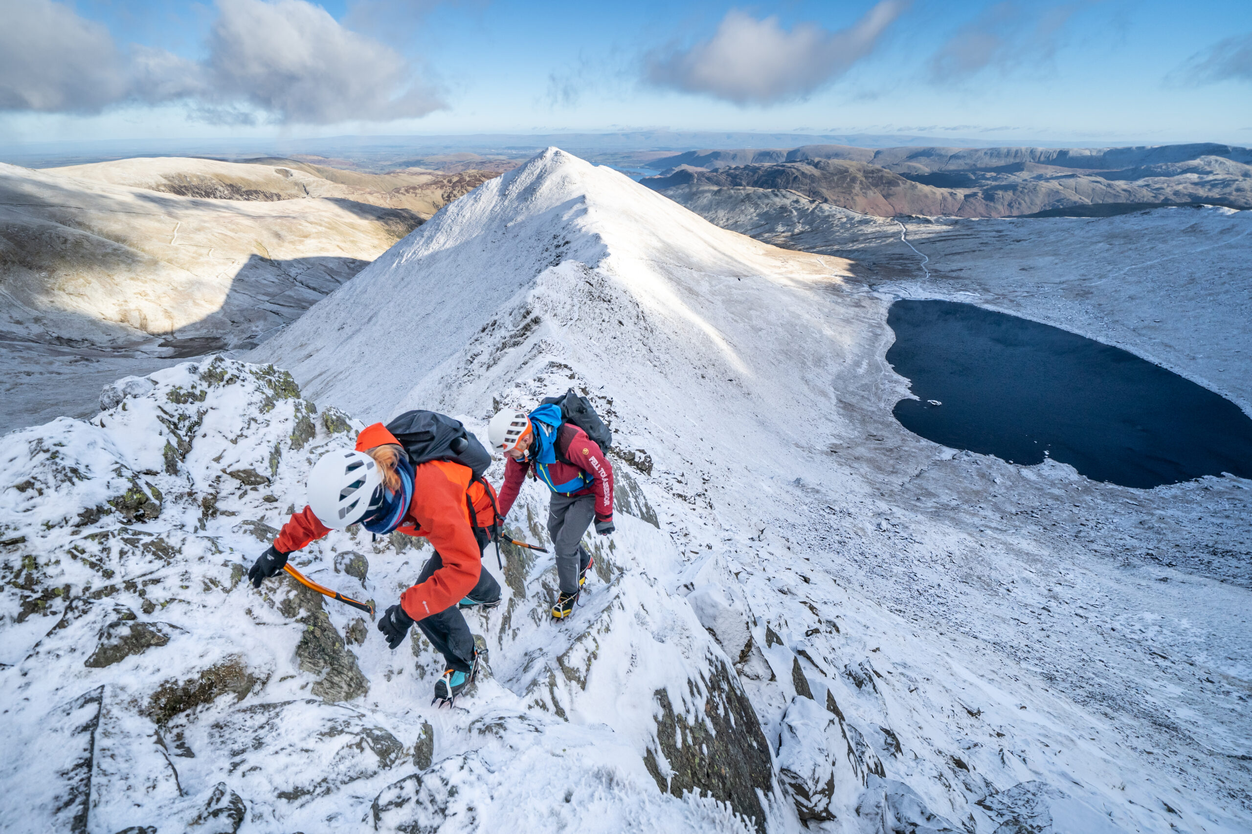
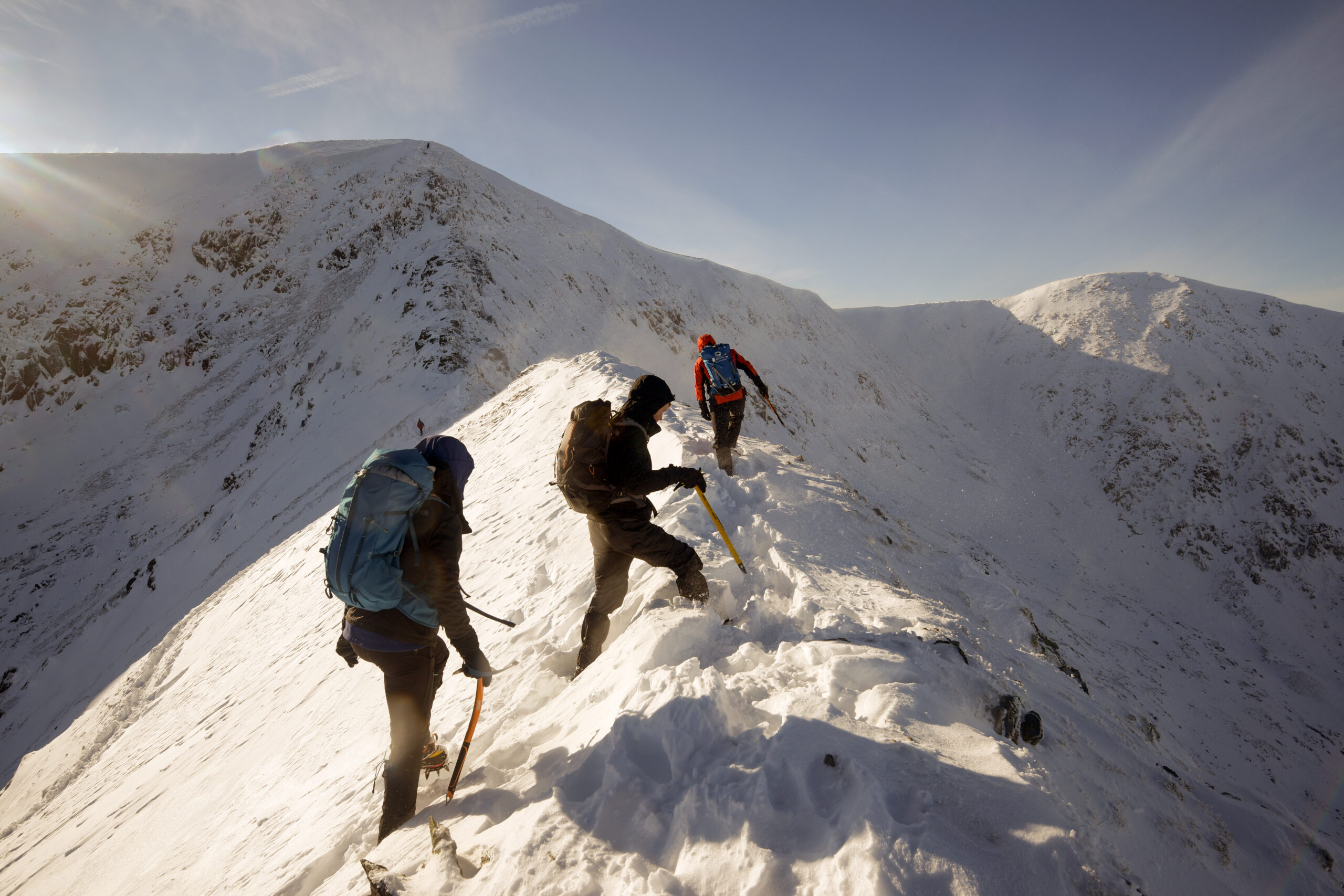
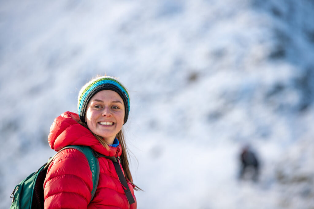
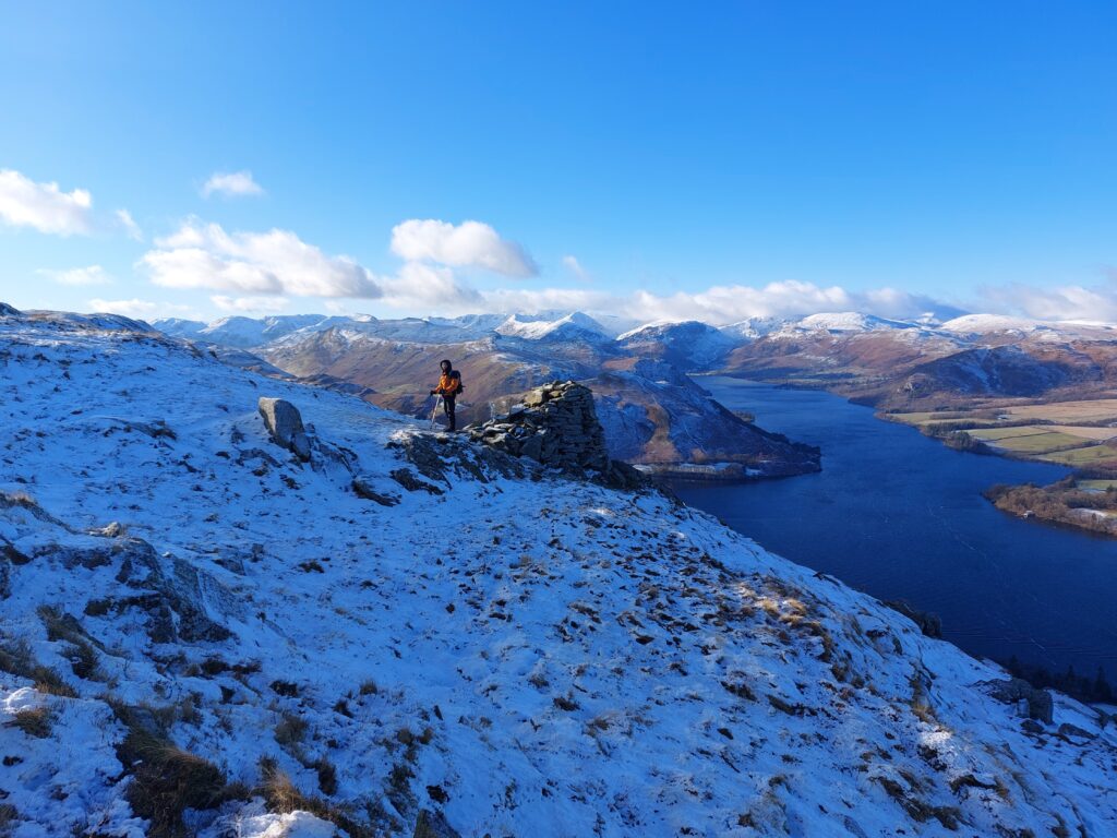
Each winter, usually from December to March, our Fell top assessors walk up Helvellyn to check conditions, take photos and supply a report to add to the Met Office weather forecast that appears 365 days a year. We have a team of three Fell top assessors – Paddy Cave, Zac Poulton and Jim Evans. You can join our fell top assessors for a day on a winter skills course, to learn the basics of how to use an ice axe and crampons for winter walking. Our winter skills courses will be available by the end of September each year.
Winter Skills Day Courses
An opportunity to spend a day on Helvellyn with a Lake District National Park Authority Fell Top Assessor as they climb to the summit of the mountain to take snow and weather readings for Lake District Weatherline Service. For each event our Fell Top Assessor will guide you on a route up the mountain, chosen according to snow and weather conditions and the ability of the group members, teaching you the basic skills of snowcraft needed for safe winter walking in the fells and mountains of the UK.
The day promises to be strenuous, informative, challenging, but also a lot of fun!
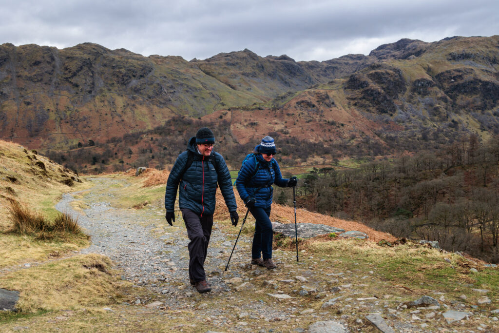
Stay safe in the Lake District
An overview of weather in the Lake District
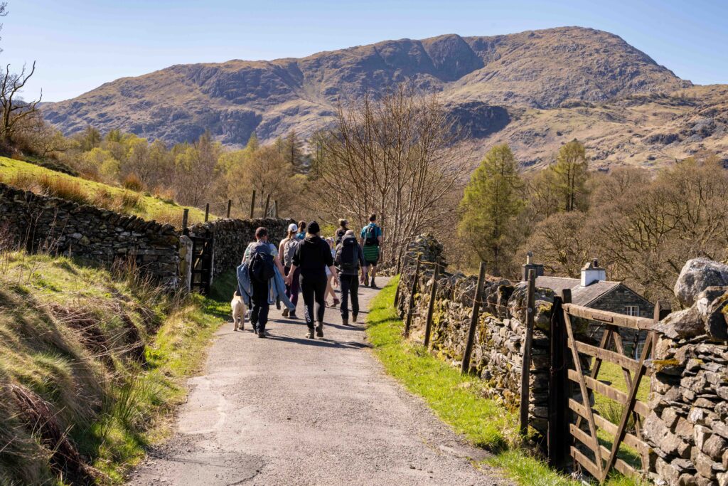
Summer
The summer season in the Lake District actually runs from March to October. The driest period runs between March and June.
The weather is renowned for changing rapidly and rainfall is a predominant feature. The wettest area in the Lake District is known as Sprinkling Tarn which receives approximately 5000mm of rainfall every year!
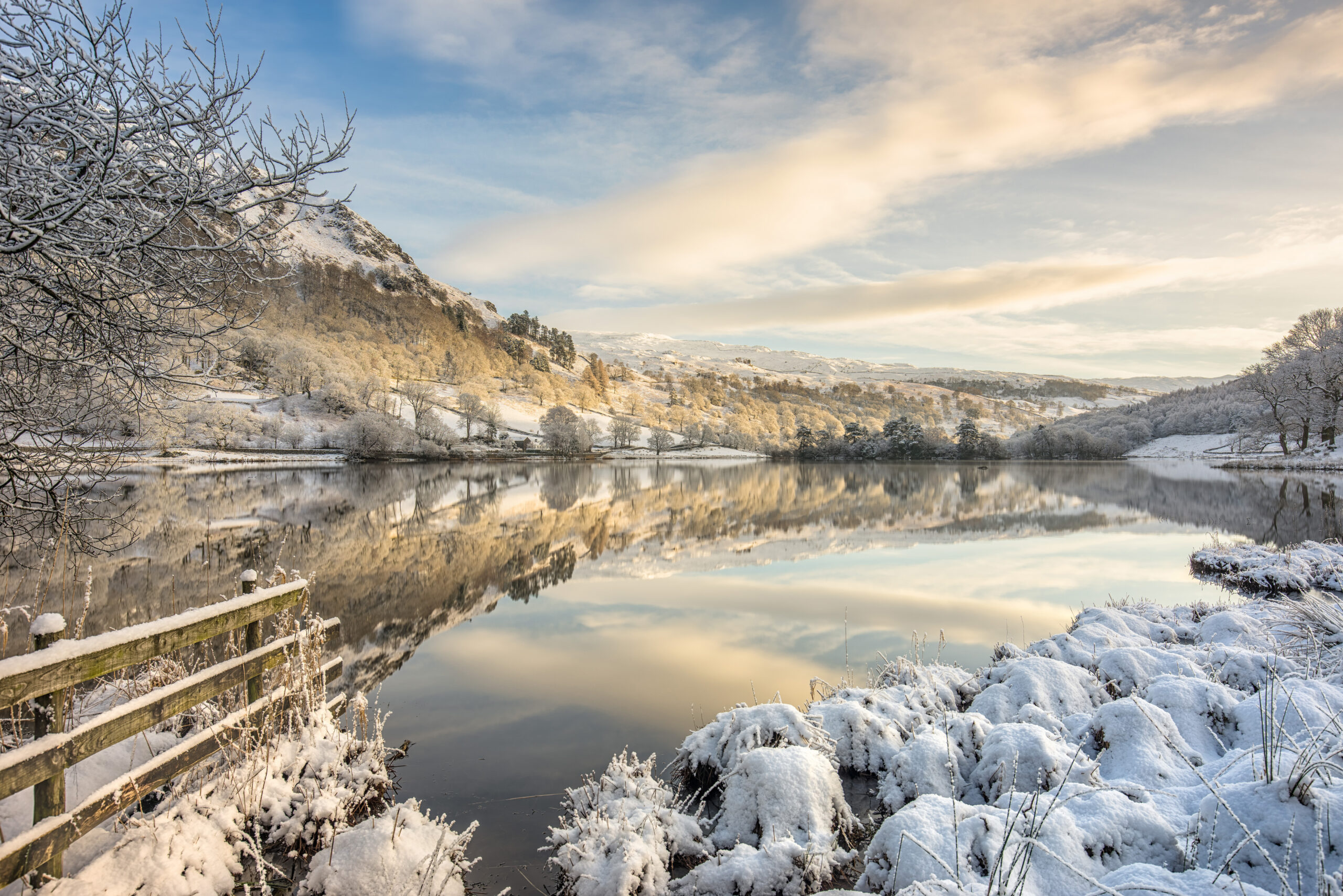
Winter
The wettest months run from October to January.
Snowfall typically falls from November to March. The valleys of the Lake District receive around 20 days of snow and 200 days of rain per year.
Glossary
The winter reports by our Fell Top Assessors sometime contain specialised vocabulary, especially about snow conditions. Here are some more details about the words and phrases they use. There’s also a table explaining what wind speeds mean in reality:
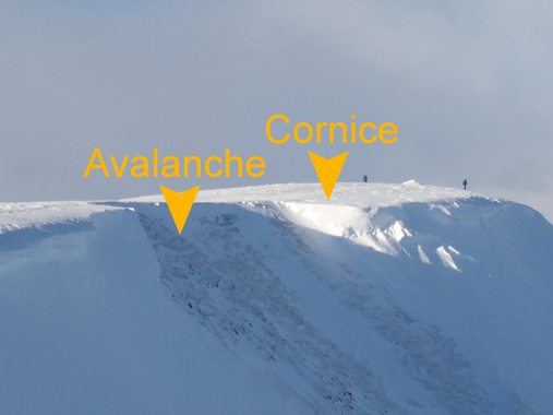
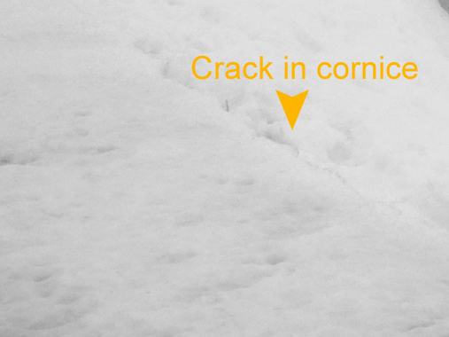
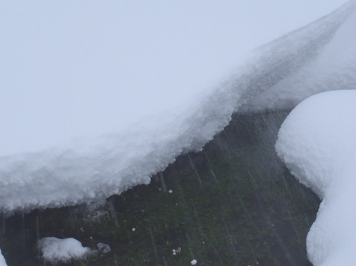
Cornice
A projecting build-up of snow that take the form of an overhanging ledge on the lee side of a ridge or where a sharp change in slope angle occurs. One example is where a summit plateau drops away into a corrie. Cornices can be extremely unstable – particularly when freshly formed or whilst thawing. Avoid walking above them.
Graupel
A type of snow that is formed from supercooled water droplets freezing onto a falling snowflake. Also known as soft hail, graupel appears as small rounded pellets similar in appearance to expanded polystyrene. When trapped between layers of snow, graupel can render the snowpack very unstable, as they can act like ball bearings between the layers.
Névé
Snow that has undergone several cycles of thawing and freezing which helps to consolidate the snow pack. This makes the snow strong and stable, creating good underfoot conditions for walking and climbing.
Rime ice
The white icy crust that builds up on the windward side of objects. Rime ‘grows’ into the wind as super-cooled water droplets freeze on contact with the surface. This often creates creating beautiful, feather-like structures which can grow to a considerable size.
Spindrift
Fine snow, picked up and blown around by the wind that can result in very poor visibility.
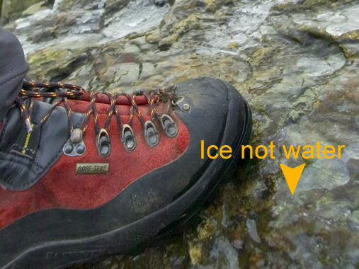
Verglas
Thin, clear ice formed from the freezing of standing water – the mountain equivalent of ‘black ice’. Verglas can be treacherous, particularly when hidden under a layer of loose powder snow.
Wind chill
The cooling effect of wind, which makes the air temperature on exposed skin feel much cooler than the air temperature. The effect increases fastest at lower wind speeds up to about 15mph.
Windslab
Snow that has been re-deposited by the wind. This is in contrast to powder snow which is loose, unconsolidated snow that has fallen in light winds. The turbulence of the wind breaks up the snow crystals and re-deposits them on lee slopes, where considerable accumulations may occur and become very unstable.
Wind speed: what does it mean when you’re out on the fells?
| Beaufort scale | mph | kmph | What you might see | What you may experience |
|---|---|---|---|---|
|
Beaufort scale
0 Calm |
mph 0 | kmph 0 | ||
|
Beaufort scale
1-3 Light |
mph
1-13 |
kmph
2-20 |
What you might see
Surface drift of loose snow |
|
|
Beaufort scale
4 Moderate |
mph
13-18 |
kmph
21-29 |
||
|
Beaufort scale
5 Fresh |
mph
19-24 |
kmph
30-39 |
What you might see
Tree branches in motion |
|
|
Beaufort scale
6-7 Strong |
mph
25-38 |
kmph
40-61 |
What you might see
Wavelets on tarn surfaces On most 900m summits snow or rain falls horizontally |
What you may experience
Severe windchill where the rate of cooling at 0 degrees C is the equivalent of minus 10 degrees C |
|
Beaufort scale
8 Gale |
mph
39-46 |
kmph
62-74 |
What you might see
Poor visibility because of blowing snow, known as spindrift |
What you may experience
Leaning into the wind, your energy output doubles |
|
Beaufort scale
9 Severe gale |
mph
47-54 |
kmph
75-87 |
What you might see
Becks blown back uphill Large trees in motion |
What you may experience
Trailing ropes blowing outwards horizontally |
|
Beaufort scale
10 Storm force |
mph
55-63 |
kmph
88-100 |
What you might see
Raised whirlwinds of blowing snow on crests Curtains of water being blown off tarn surfaces Advice: Keep to lower level walks |
What you may experience
Bent double against the wind Walking is difficult – normal effort trebled |
|
Beaufort scale
11 Severe storm force |
mph
64-72 |
kmph
101-116 |
What you might see
Storm shroud of suspended spindrift is 100m (330 feet) thick Advice: do not venture onto the fells |
What you may experience
Extreme windchill |
|
Beaufort scale
12 Hurricane |
mph
over 73 |
kmph
over 117 |
What you might see
Extensive structural damage Advice: stay indoors |
What you may experience
Needing to crawl in winds more than 80 mph Humans can be blown off the ground if winds are over 100 mph |
Frequently asked questions
The Met Office forecasters in Aberdeen write the forecast. They then send it to this website as a datafeed.
The Met Office feeds their forecast directly into Weatherline. If the forecast doesn’t display, you may need to clear your cache.
Your ‘cache’ means the web pages your computer stores in its memory. When you ask for a page, to save time, your computer remembers it already has a version of this page saved locally and doesn’t need to go online. However as the Weatherline forecast is updated in ‘real time’, your computer needs all the current information.
Clearing these temporary files varies, but in Internet Explorer on a PC press CTRL and F5 together. Alternatively go to Tools / Internet Options / and under Temporary Internet Files click the Delete Files … button. Or use your Help facility and type in ‘clear cache’.
The Met Office normally sends through updates twice a day, at around 5 – 6pm and 3 – 4am.
Our Fell Top Assessors take many readings in order to write their ground conditions reports including snow depth, wind speed and temperature.
Sometimes rescues or dangerously bad weather get in the way, but they make for a fantastic account of winter time conditions in the Lake District. Please feel free to use this historic data, crediting Lake District National Park Authority should you publish it.
Please note there are no Fell Top Assessor readings available for 2004 to 2005.
We have annual weather readings for 1997 to 2016. For past winter season data, please email us at hq@lake district.gov.uk.
During the winter, the Lake District National Park employs two Fell Top Assessors (opens new page). They climb Helvellyn mountain above Ullswater every day on alternate weeks. The Fell Top conditions report goes live as soon as the Assessor descends from the fells and uploads it to this website.
Book a Winter Skills course (opens new page) with our fell top assessors on Helvellyn.
We’d love to be able to tell you, but conditions vary enormously from one year to the next. Our gallery (opens new page) shows how different each month can be.
The weather in Britain mostly comes from the Atlantic. When the clouds hit the mountains of the Lake District, they rise, the water vapour within the clouds cools, condenses and falls as rain or snow.
Check out our walker’s checklist (opens new page) for tips on what to wear and what to bring when walking in the Lake District.
Please read our weather and climate page.

