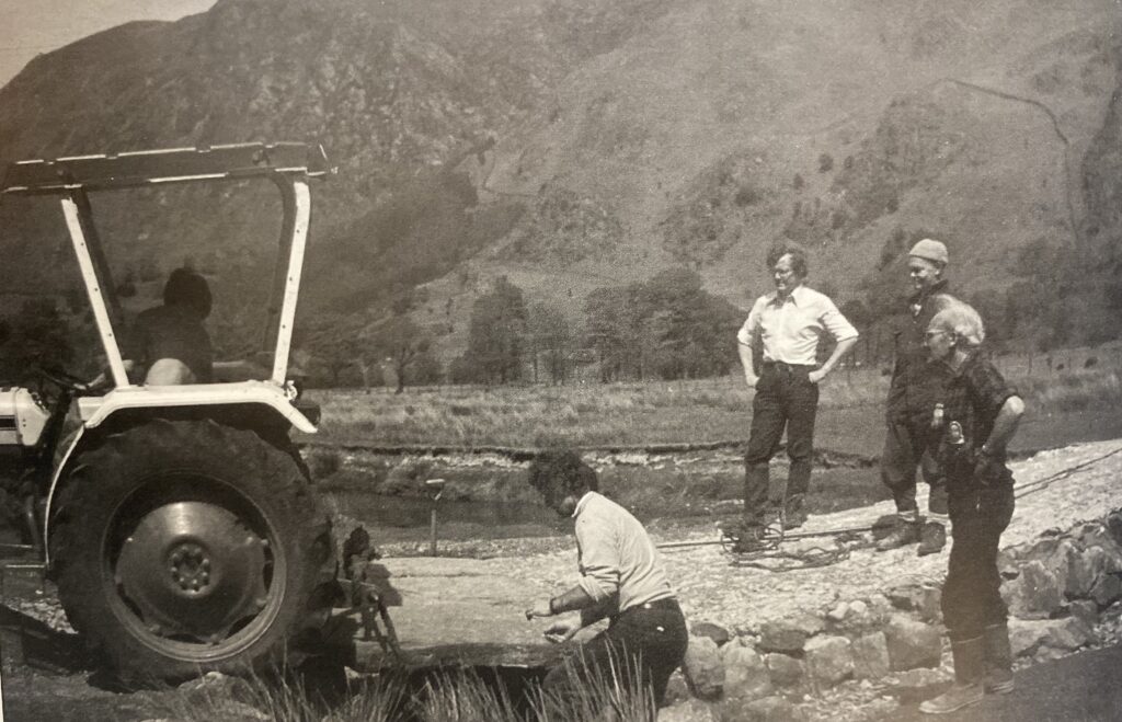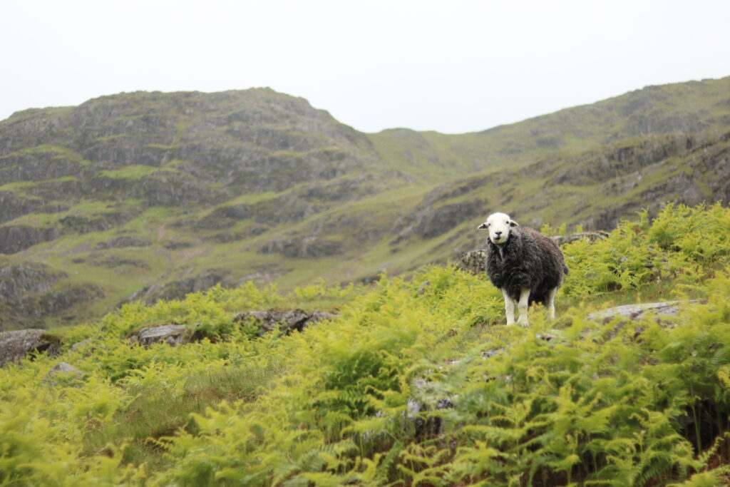
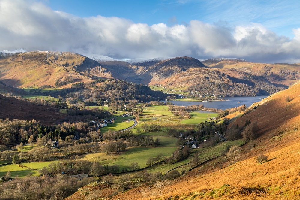
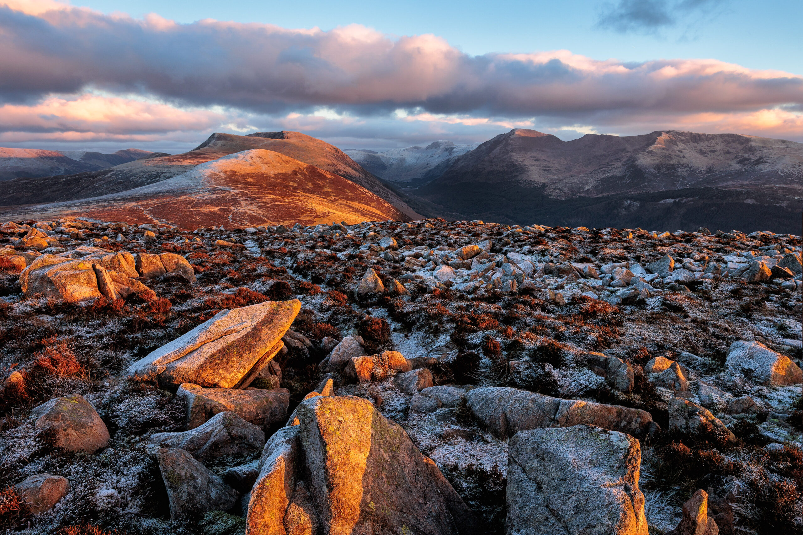
The area is made up of 16 bodies of water and over 350 fells, including the mighty Scafell Pike, Helvellyn and Skiddaw. Its unique landscape has been shaped by centuries of traditional upland sheep farming, including of the iconic Herdwick breed. There are a range of habitats within the Lake District including woodlands, valleys, lakes, tarns, high fells and coastal regions supporting a diversity of wildlife species. With millions of visitors every year, the area’s natural and cultural heritage provides memorable experiences and rich inspiration to those who spend time here.
Lake District National Park area
The Lake District National Park is England’s largest and covers:
- 2362 square kilometres
- 912 square miles
- Width (west to east): 58 km or 36 miles
- Length (north to south): 64 km or 40 miles
Find out about the land ownership in the Lake District.
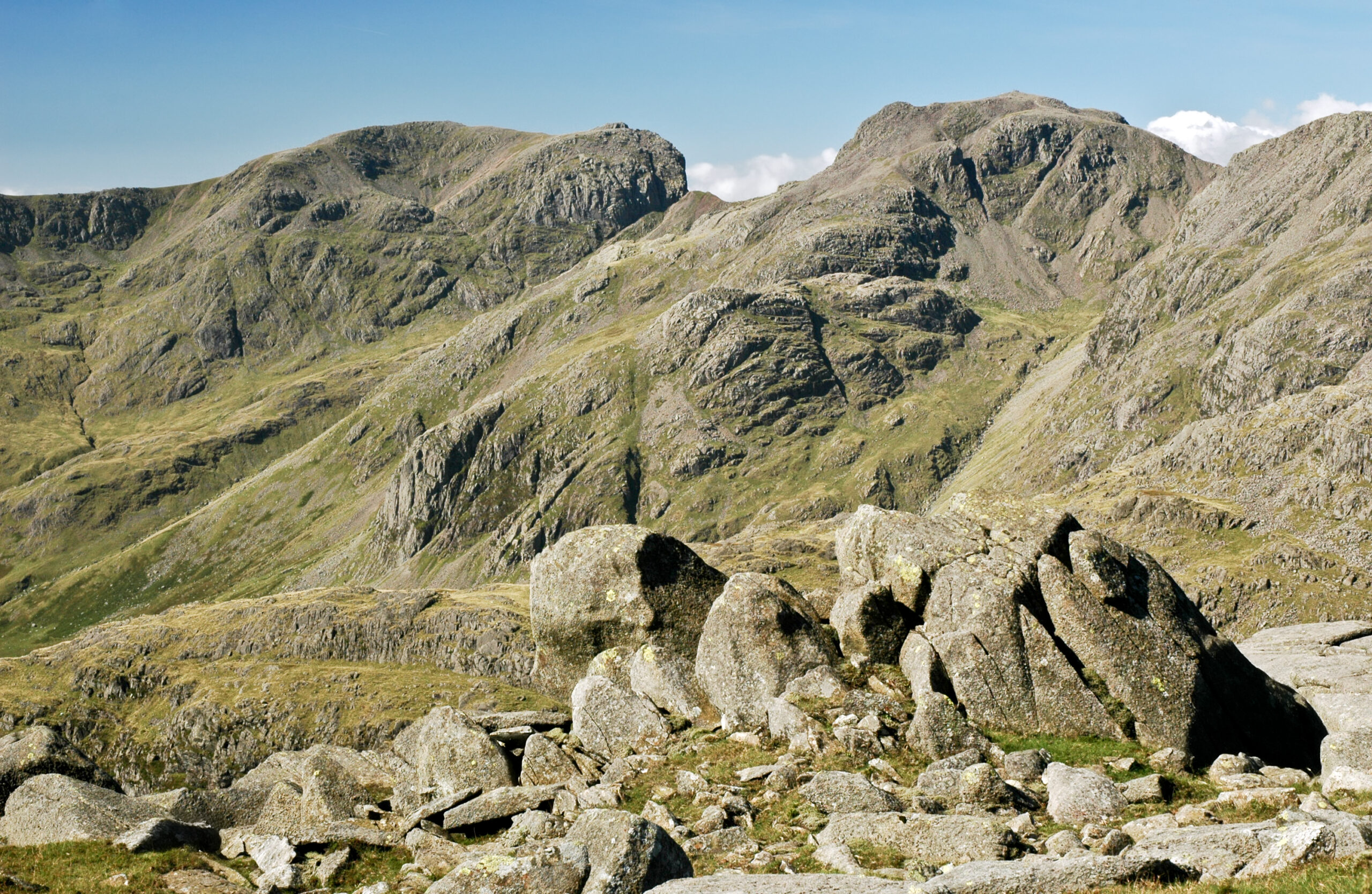
Ten highest mountains
- Scafell Pike (978 metres)
- Scafell (964 metres)
- Helvellyn (950 metres)
- Skiddaw (931 metres)
- Great End (910 metres)
- Bowfell (902 metres)
- Great Gable (899 metres)
- Pillar (892 metres)
- Nethermost Pike (891 metres)
- Catstycam (890 metres)
There are at least 200 fell tops. The writer Alfred Wainwright wrote about 214. Check out the List of Wainwrights
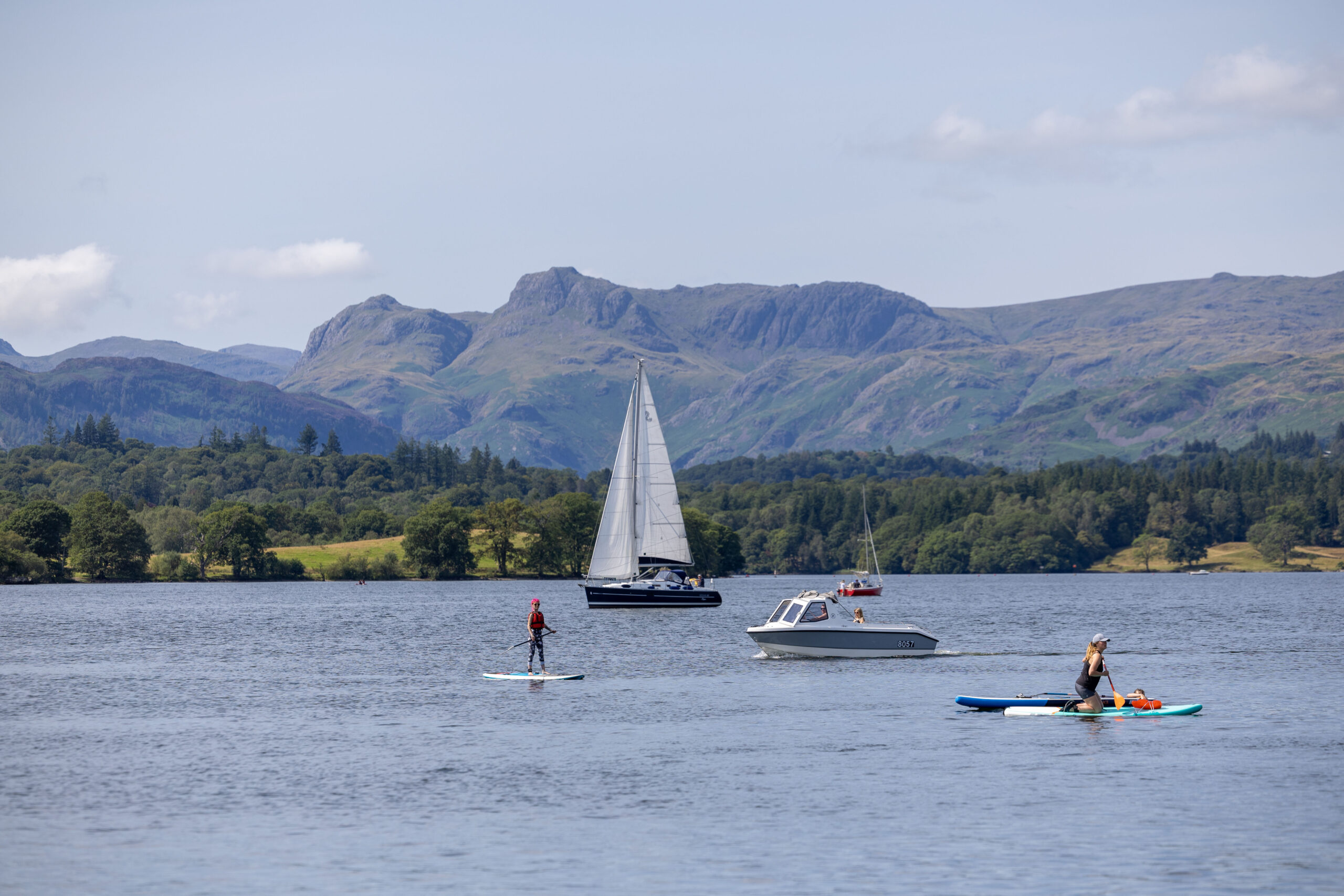
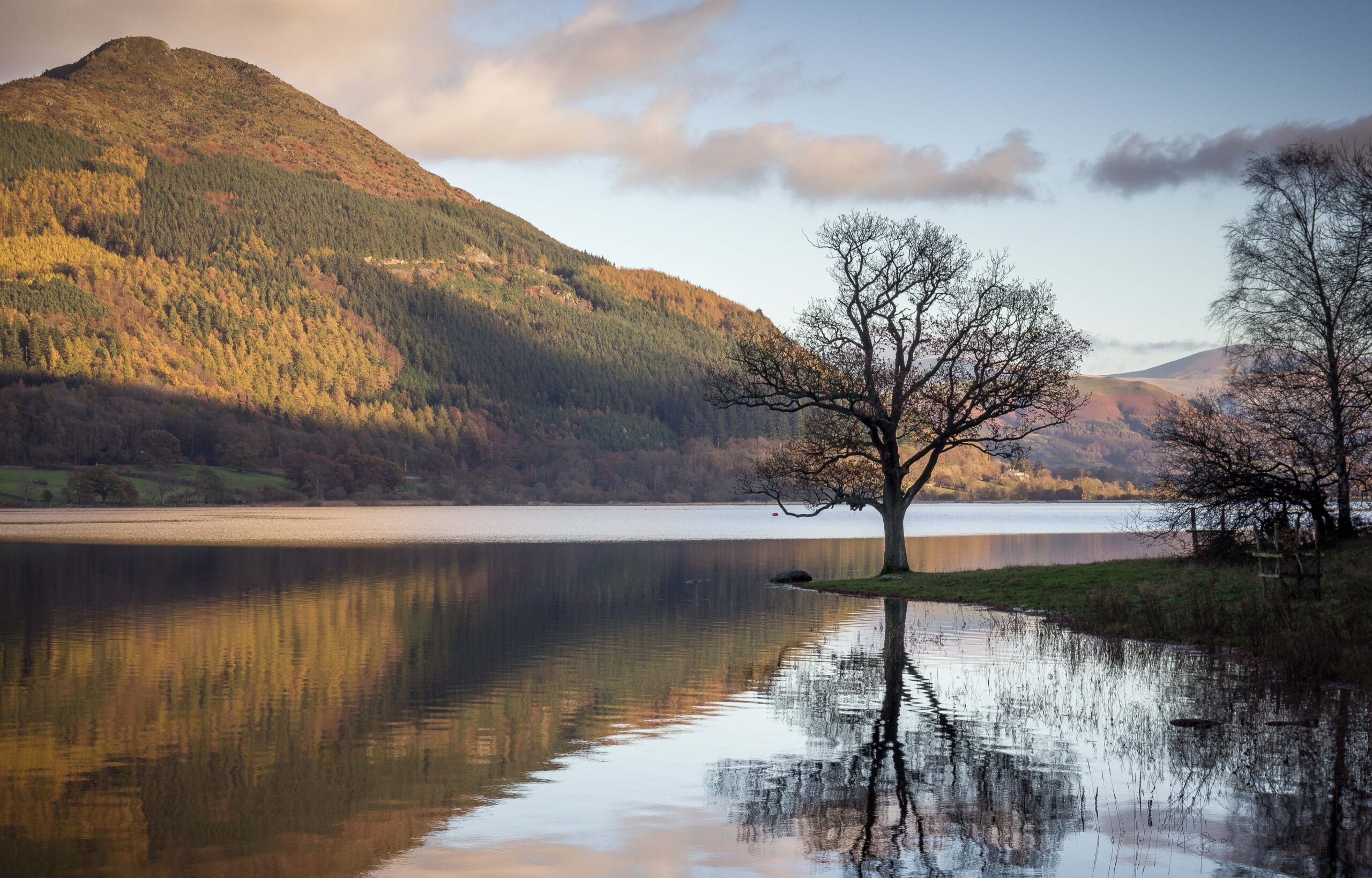
Sixteen largest lakes
- Windermere – (14.8 km²)
- Ullswater – (8.9 km²)
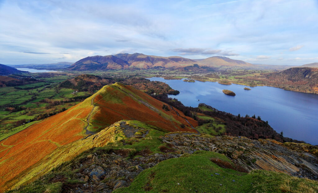
- Derwentwater – (5.5 km²)
- Bassenthwaite Lake – (5.3 km²)
- Coniston Water – (4.0 km²)
- Haweswater – 3.9 (3.9 km²)
- Thirlmere – (3.3 km²)
- Ennerdale Water – (3 km²)
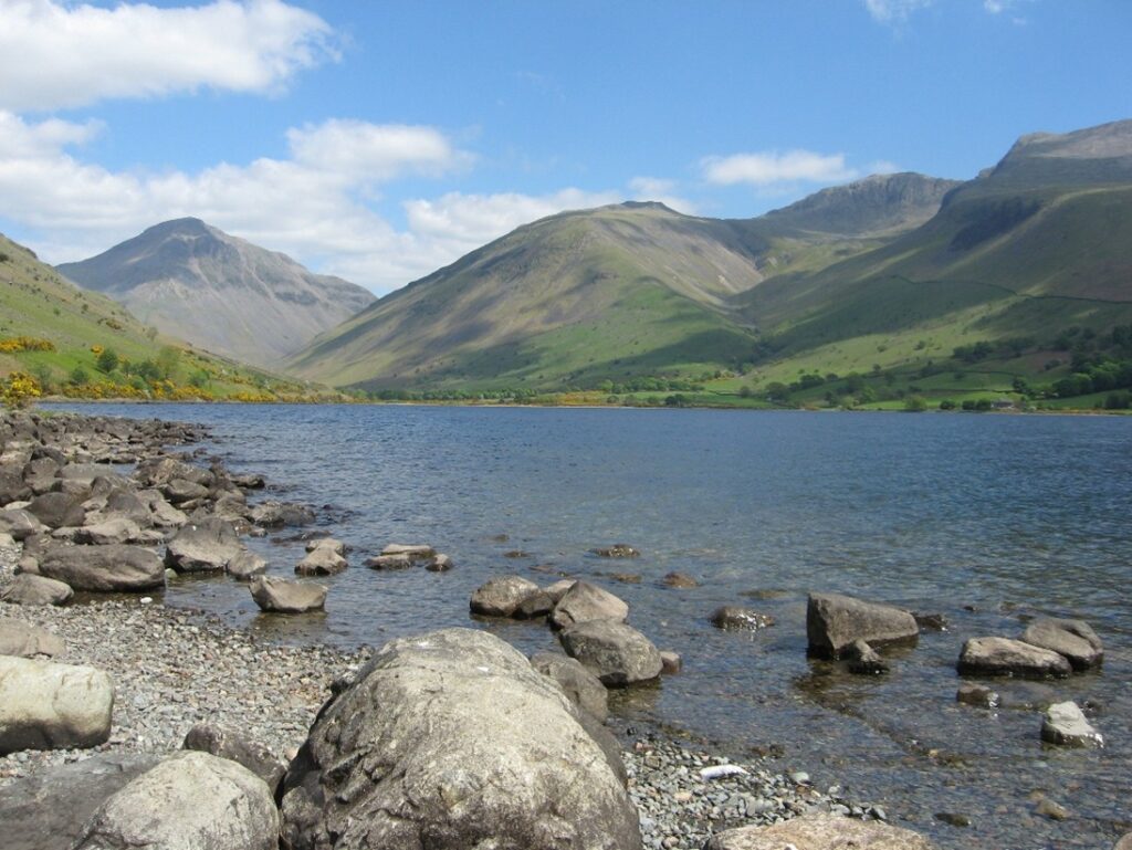
- Wastwater – (2.9 km²)
- Crummock Water – (2.5 km²)
- Esthwaite Water – (1 km²)
- Buttermere – (0.9 km²)
- Grasmere – (0.6 km²)
- Loweswater – (0.6 km²)
- Rydal Water – (0.3 km²)
- Brotherswater – (0.2 km²)
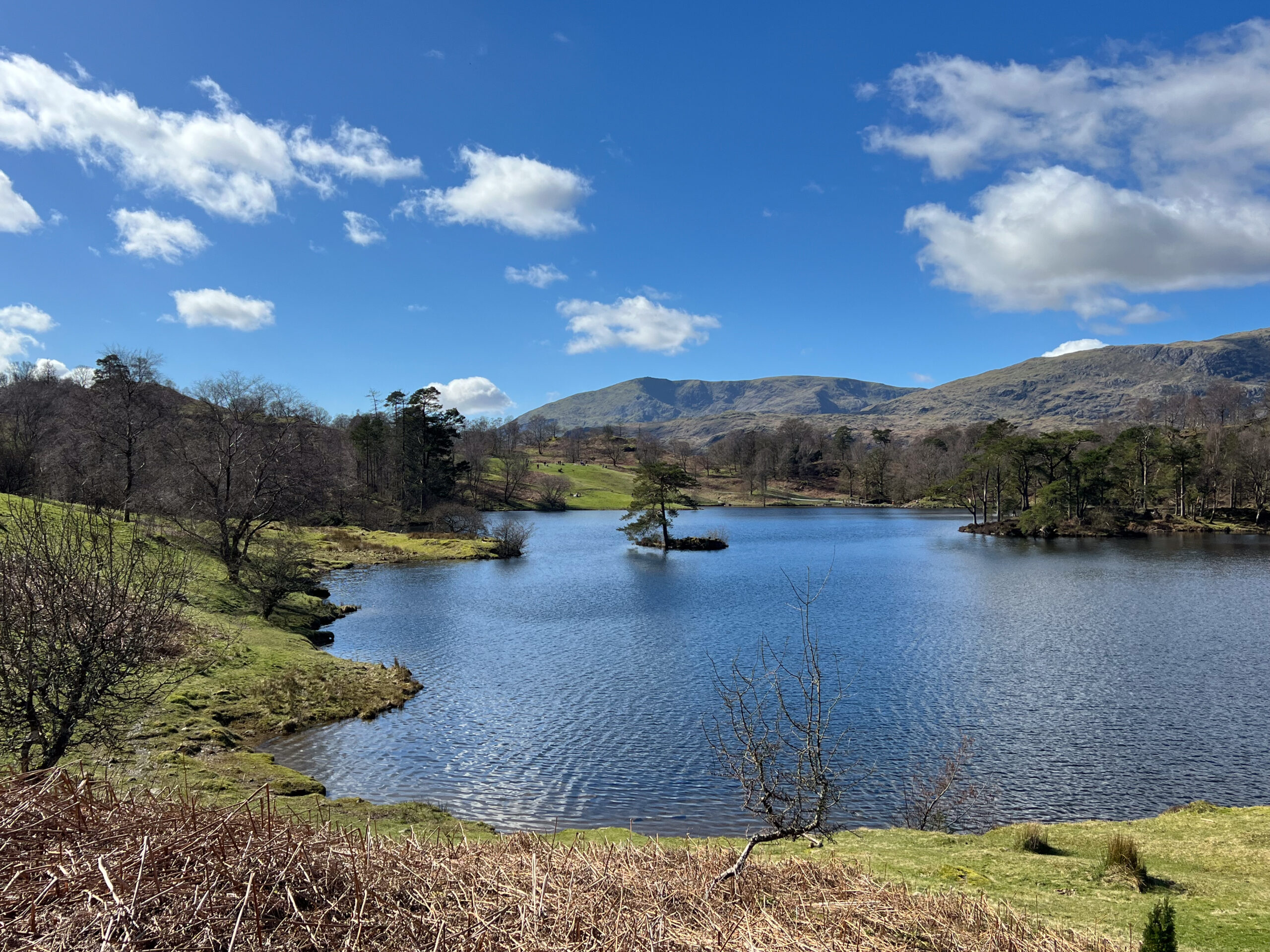
Tarns
Tarn comes from the Old Norse word for ‘pool’. It usually refers to a small mountain lake or pool. However as some tarns are larger than lakes, it’s not an exact science! Here are some of the larger ones:
- Blea Tarn
- Little Langdale Tarn
- Overwater Tarn
- Stickle Tarn
- Tarn Hows
- Watendlath Tarn
- Yew Tree Tarn
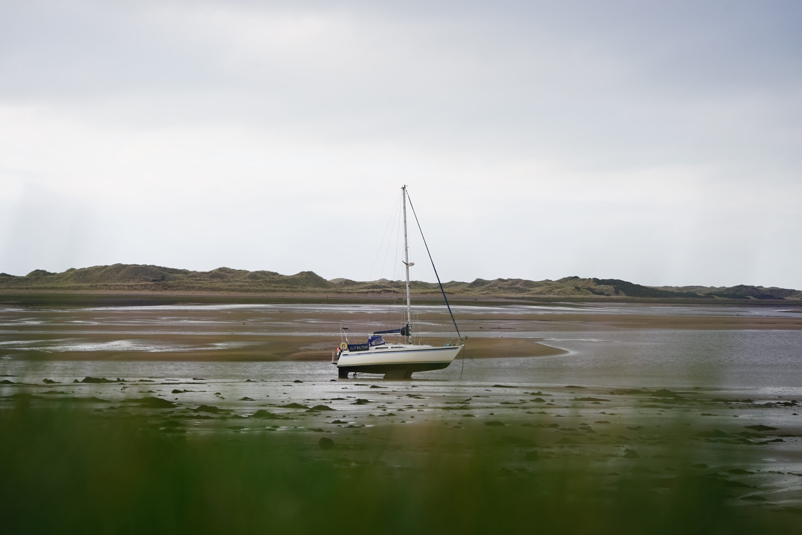
Lakes and coastline
- The deepest lake in England is Wastwater at 74 metres.
- England’s longest lake is Windermere which is 10.5 miles long (17km).
- There is only one ‘official’ lake – Bassenthwaite Lake. All the others are ‘meres’ or ‘waters’. A popular quiz question!
- The National Park includes 26 miles (42km) of coastline and estuaries.
- In the heavy rains of November 2009, Windermere lake rose 157cm. Over the week, that translates into an extra 35,700,000,000 litres. 22,100,000,000 litres of those were added in just 36 hours! This is the highest level ever recorded for the lake.
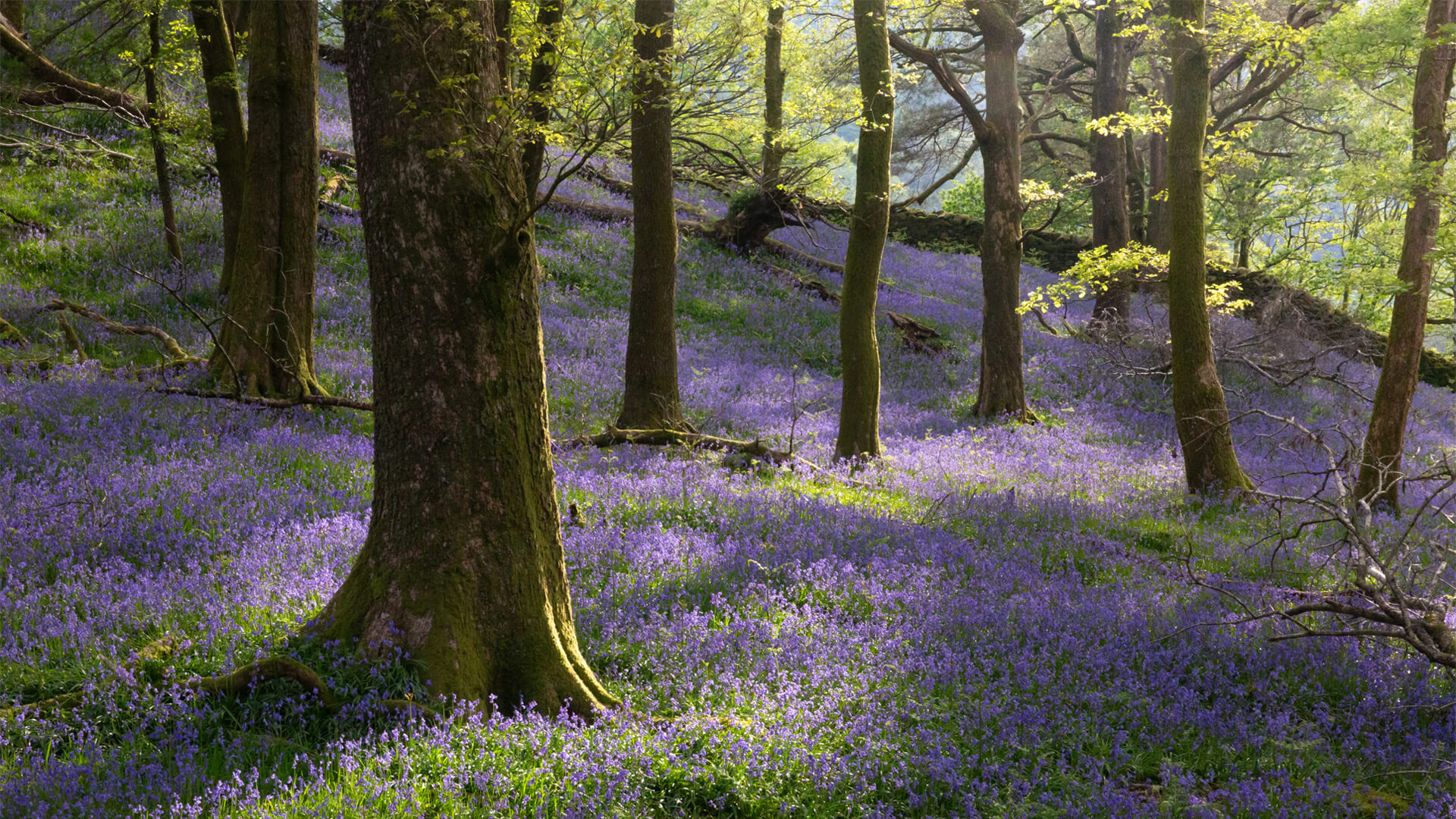
Trees and woodlands
- Woodland covers 13% of the Lake District National Park.
- 95 km² is owned or managed by the Forestry Commission.
- 120 km² is broadleaf woodland. This accounts for 64% of all woodland.
- 6.2 km² of woodland is owned and managed by the National Park.
- We want to increase woodland cover in the National Park to 17% by 2050.
World Heritage Site
An international badge of recognition was placed on the Lake District National Park in 2017 for its “cultural landscape” when it joined the likes of the Taj Mahal, the Grand Canyon and Machu Picchu as a UNESCO World Heritage Site. The world-class designation recognised the National Park as a dramatic farmed landscape, inspiring people to love and appreciate the place which led to the birth of the global conservation movement.
Discover more Lake District facts and figures...
- 1810 William Wordsworth publishes “Guide to the Lakes”.
- 1847 Kendal and Windermere railway reaches Windermere.
- 1951 Lake District National Park established – read more in History of the National Park
- 2016 Lake District National Park extended.
- 2017 Lake District National Park is awarded World Heritage Site status.
- 38,993 people live within the boundaries of the National Park. (Source: Census 2021 from the Office for National Statistics)
- Population density per square kilometre: 16.5
- Total dwellings: 24,511 (Source: LDNPA Annual Monitoring Report)
- Owner occupied: 68% (Source: Mid-Year 2018 Office for National Statistics Population Estimates)
- Rented: 41.9% (Source: Mid-Year 2018 Office for National Statistics Population Estimates)
- Holiday or second homes: 24% (Source: 2011 census)
Tourism is the main source of income for Lake District economy. Tourism brings great benefits to the area. Visitors spend money on accommodation, food, drink and leisure activities and indirectly support other business such as wholesalers and the building trade.
- There were 18.11 million tourists to the Lake District in 2023
- There were 27.21 million tourist days (spending more than three hours) in the Lake District in 2023
- Tourism revenue for the Lake District in 2023 was £2304 million (£2.304 billion)
Source for these figures: Cumbria Tourism.
Find out more in our Tourism learning resource.
Temperature in Ambleside
Maximum temperature:
- July – 20.18 °C
- January – 7°C
Minimum temperature:
- July – 11.83 °C
- January – 1.23 °C
Annual rainfall:
- in Ambleside: 2103 mm
- in Seathwaite, the wettest inhabited place in England: 3552mm
To discover more information, view our Lake District weather and climate learning resource page.
The Lake District climate is generally mild due to the influence of the sea. Occasionally however, the Lake District sees weather conditions which are out of the ordinary.
Here are some extreme weather events from the past:
- December 2015-16: Storm Desmond, winds up to 81mph and record-breaking rainfall across Cumbria
- November 2009: 314.4mm of rain fell in Seathwaite in 24 hours – a new record for England. Cockermouth and Keswick flooded.
- 7 and 8 January 2005: Storms batter Cumbria – a gust of 111 knots recorded on Great Dun Fell – many trees blown down.
- Summer 1995: Drought year. Haweswater reservoir 89 per cent empty and the drowned village of Mardale visible.
- 31 Jan 1995: 100mm of rain overnight cause floods that change the course of Raise Beck – Dunmail Raise – to flow to Grasmere instead of Thirlmere Reservoir.
- July 1988: Grasmere had its wettest month of the 20th century.
- Summer 1984: Drought year. Drowned village of Mardale visible in Haweswater reservoir.
- Feb 1984: Over 600 mm of snow fell in some areas of the District.
- July 1983: Temperature in Ambleside reached 31.7C, the same figure as in 1934.
- 1963: Windermere completely freezes over.
- Nov 1955: Seathwaite in Borrowdale received 204mm of rain within 24 hours, about one quarter of the annual rainfall for Penrith.
- 1954: Sprinkling Tarn near Sty Head received 6527.8mm of rain this year – the same height as 1.5 double-decker buses!
- Jan 1940: Temperature in Ambleside dropped to –21.1C. Ice measuring over 305 mm thick was recorded on Derwentwater.
- May 1935: Keswick in contrast to 1922 received 294.9 hours of sunshine in this month.
- July 1934: The temperature in Ambleside reached 31.7C.
- Dec 1922: During this month Keswick only received 5.5 hours of sunshine.
- Oct 1898: Flooding caused the level of Windermere to rise 2130 mm above its normal level.
- Nov 1683 – Feb 1684: Windermere frozen over, the longest recorded period for this event.
- 16,510 archaeological sites and monuments recorded in the Historic Environment Record, including 283 scheduled ancient monuments
- 1779 listed buildings and structures
- 23 Conservation Areas covering historic towns and villages
- 556 km² Sites of Special Scientific Interest