View Conservation Areas
To find more information about our Conservation Areas within the Lake District National Park, you can visit our A-Z of Conservation Areas page or download a list of Conservation Areas (.csv).
You can use the following Web Feature Service (WFS) to view Conservation Areas spatially using Geographical Information System (GIS) software (this data is available under the Open Government Licence v3.0): Conservation Areas
Designation, appraisal and management
As the local planning authority for the area we must consider whether further historic areas need Conservation Area designation. We are responsible for reviewing existing Conservation Area and their boundaries. For each new or existing conservation area we prepare a conservation area appraisal and management plan.
Legally we must formulate and publish proposals for the preservation and enhancement of our Conservation Areas. We are encouraged to use controls such as Article 4 Directions to prevent the loss of historic features.
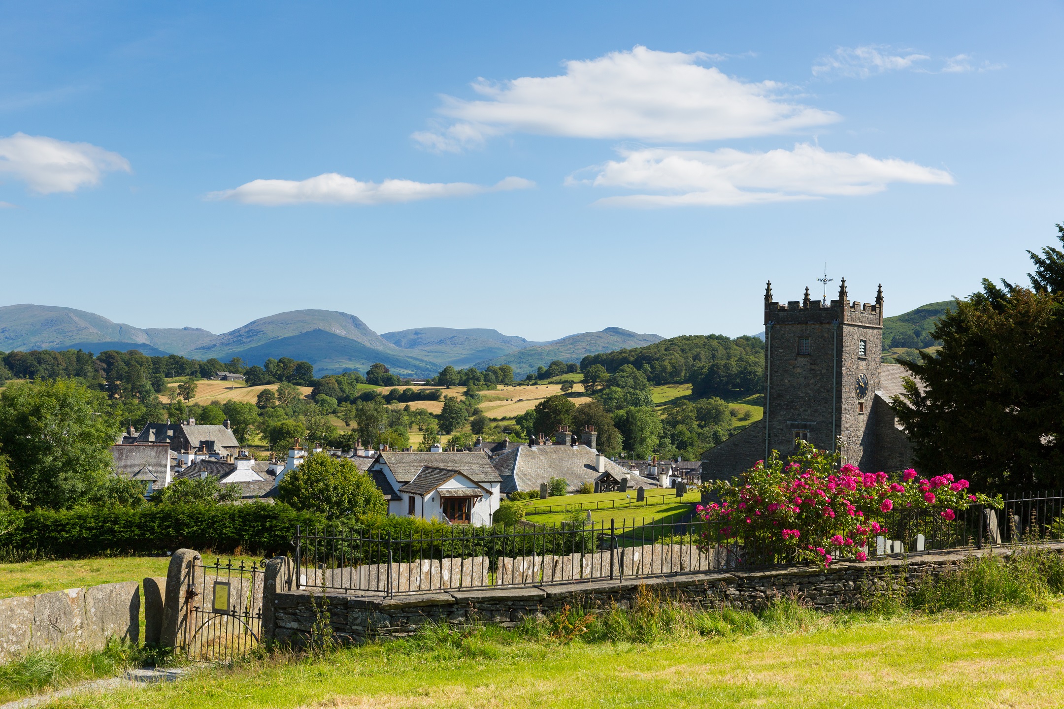
The designation of Conservation Areas in the National Park started in 1980. This was when the first Conservation Area in Ambleside was created. There are now 24 Conservation Area in the National Park. We aim to review Conservation Area every 10 years, making sure each conservation area has an up to date appraisal and management plan.
Frequently asked questions
You might find the following useful to find out about our and the government’s approach to conserving the historic environment:
- Our planning policies
- National Planning Policy Framework (opens in new window) – particularly sections 7 and 12
- Planning Practice Guidance (opens in new window)
A Conservation Area Appraisal involves public consultation. It identifies the special architectural and historic interest of an area, assessing how it has historically developed, which elements should be retained or enhanced and which detract from its character. We also review the boundaries of the Conservation Area.
A Conservation Area Management Plan is also subject to public consultation. It:
- deals with any issues brought up by the appraisal
- recommends any boundary changes
- recommend the development of policies, guidance and measures to prevent the loss of traditional features
- may identify enhancement opportunities
- may recommend an Article 4 Direction
Each Conservation Area is unique. By defining what contributes to the character of the Conservation Area, the appraisal and management plan can help us manage future development and enhancement and ensure that it is of good quality and sensitively designed. They also provide invaluable guidance for property owners and potential developers.
The appraisals and management plan process involves consulting with the local community, stakeholders and interest groups. Local people are key to the implementation of the management plan. Their involvement provides important local knowledge and understanding.
During the consultation period, public exhibitions may be held locally. Draft appraisals and management plans can be viewed at the Lake District National Park Offices at Murley Moss in Kendal or you can download them from the links to the left as they become available.
The designation and review of Conservation Area, their boundaries, appraisals and management plans is an ongoing process. We aim to review Conservation Area every 10 years, making sure each Conservation Area has an up to date appraisal and management plan.
What are the benefits of living in a Conservation Area?
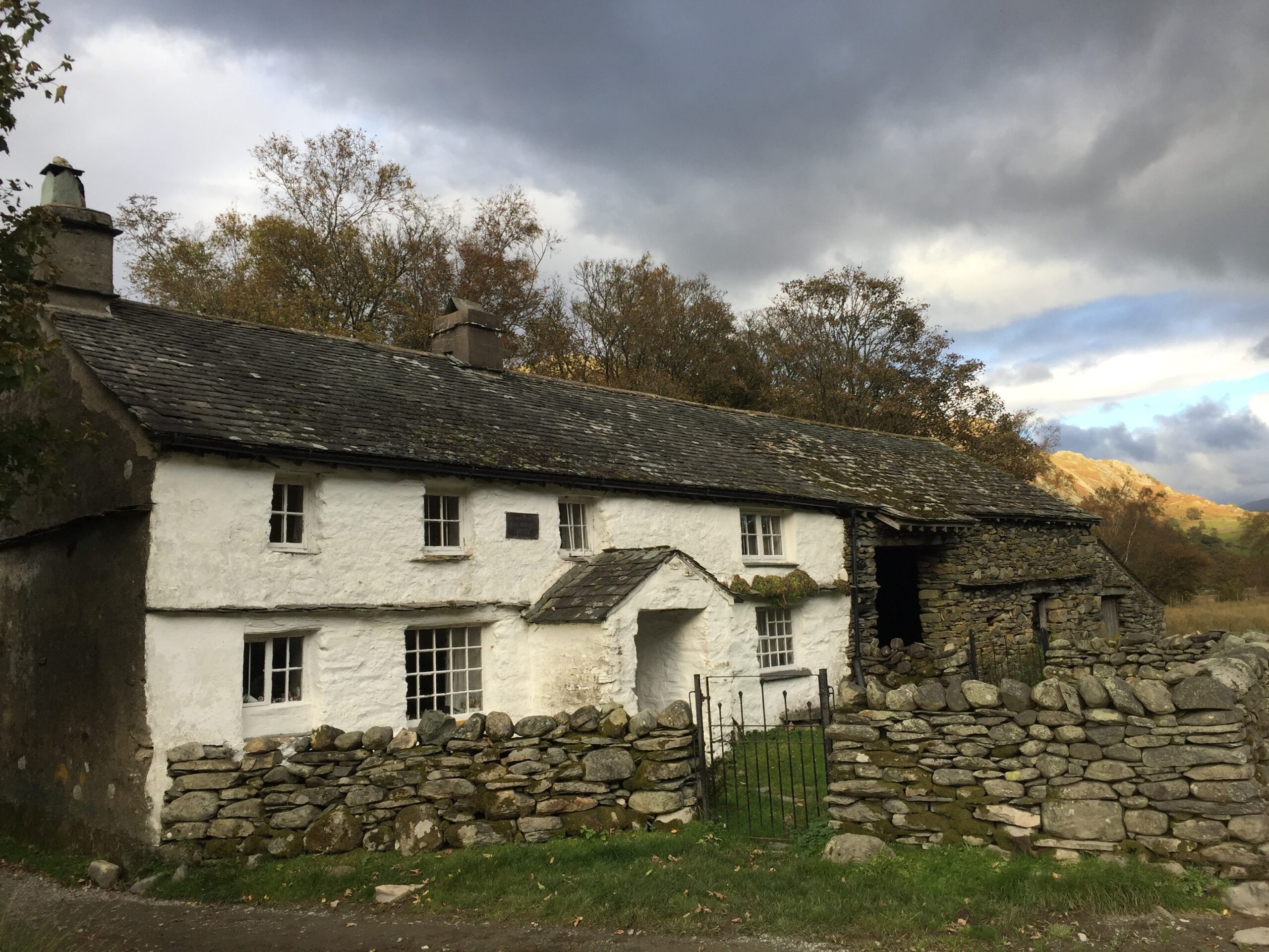
The designation of a Conservation Area does not mean every building will be preserved and no changes allowed. Change is inevitable and may be necessary for the day-to-day life, prosperity and enhancement of an area. But designation helps ensure changes respect the area’s character and appearance. The additional planning controls within Conservation Area give more control over new development to ensure it is of good quality and protection for important features or buildings.
Planning permission is required for any works involving the demolition of most buildings within a Conservation Area. The unauthorised demolition of a building (including walls) can give rise to criminal liability.
Applications for consent to totally or substantially demolish any building within a Conservation Area must be made to us. Procedures are essentially the same as for listed building consent applications. Generally, buildings which make a positive contribution to the character or appearance of the Conservation Area should be retained.
Visit our applying for planning permission web page for more details or contact us to clarify the need for permission. Do not proceed until permission is formally granted in writing following the submission of an application.
Within the National Park, areas both within or outside a Conservation Area have the same ‘permitted development rights’. These rights permit development, such as small extensions and alterations, to be carried out without planning permission. These rights, prescribed through legislation, are more limited than those which apply outside the National Park and are unaffected by Conservation Area designation.
Where planning permission is required, new development and alterations to existing buildings need to be well designed and employ good quality materials so that they preserve or enhance the character or appearance of the area.
Please read our Trees and hedgerows page for more information and guidance.
We can introduce more sensitive controls through an ‘Article 4 Direction’, to manage alterations to houses. Such Directions prevent the loss of important historic features and details which contribute to the area’s character such as original roof slates, doors, windows, boundary walls and other architectural details. But reasonable alterations which are of good quality are permitted. Such controls currently exist in the Keswick Conservation Area. We have to have good reason to introduce an Article 4 Direction and must take account of public views before doing so. Learn more on our Article 4 Directions page.