


Our 50 Miles without Stiles more accessible routes
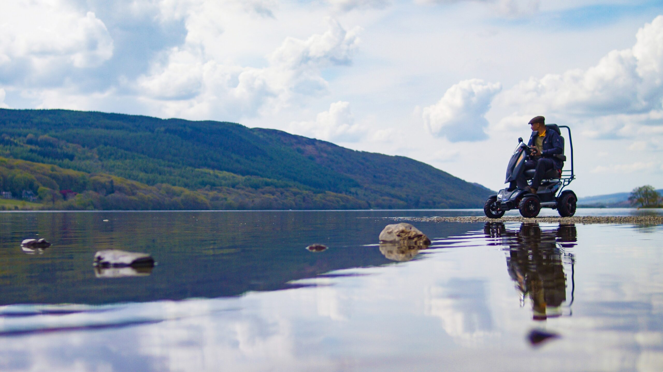
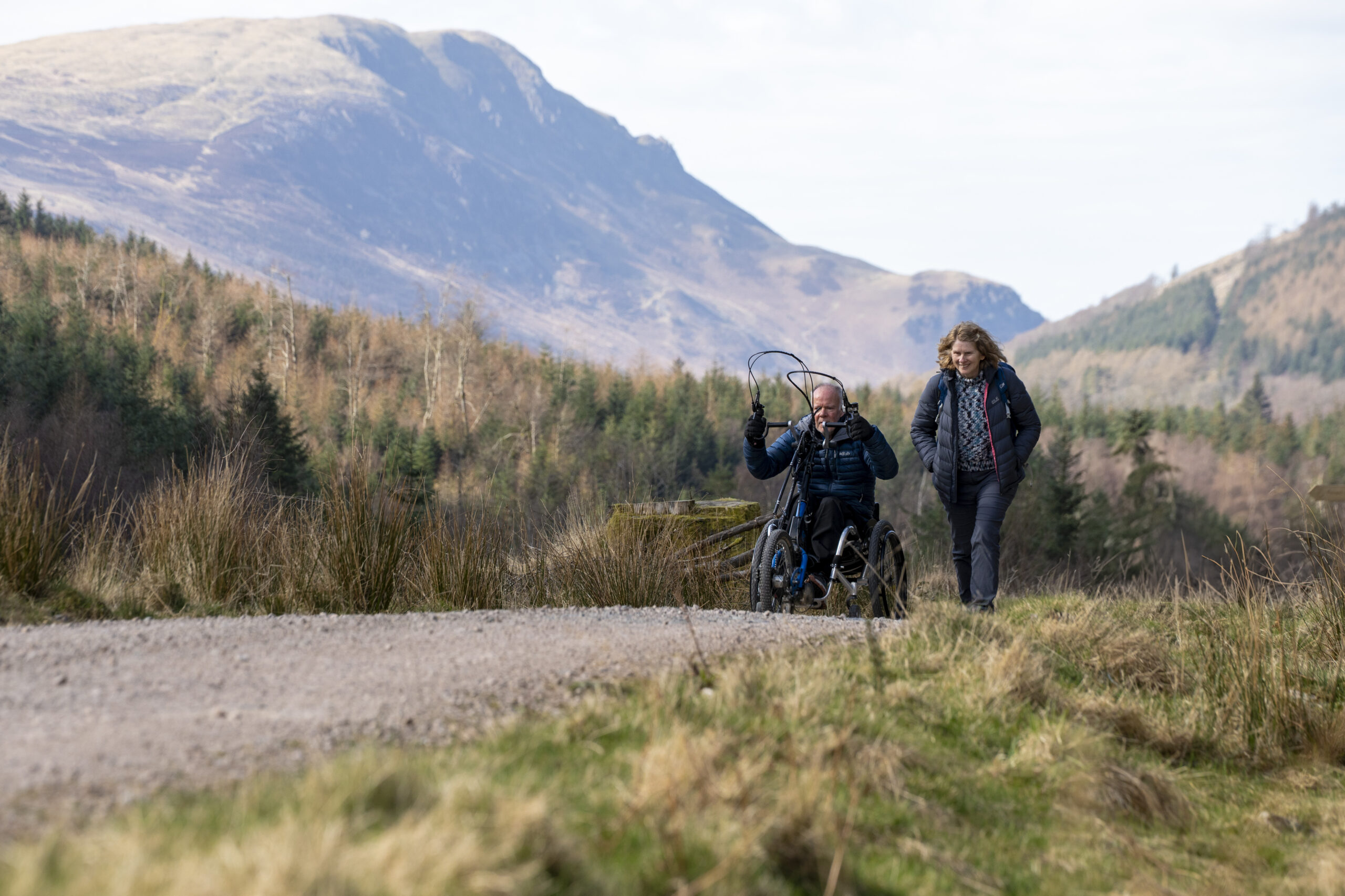
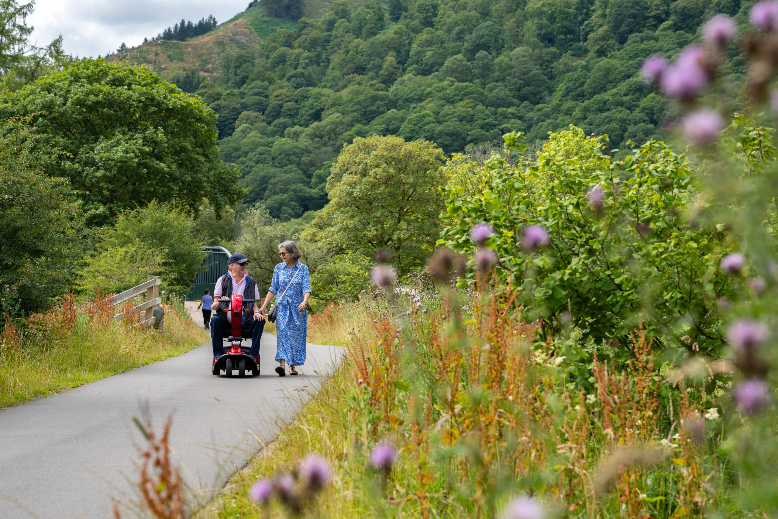
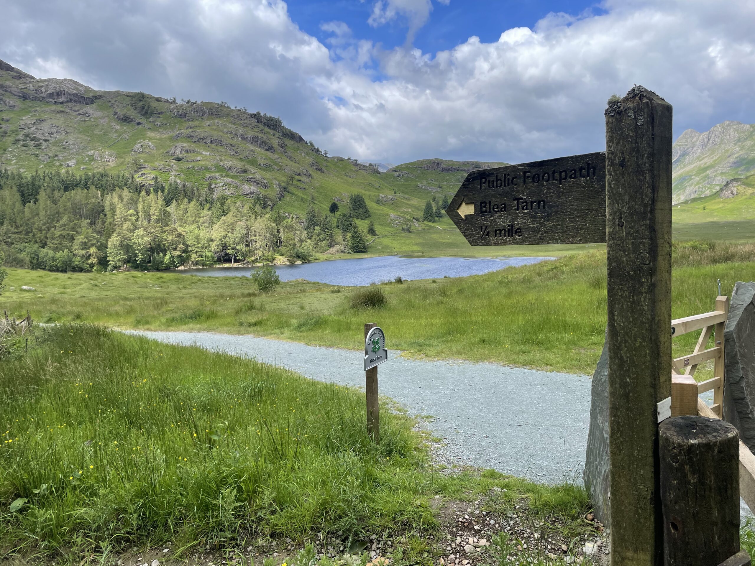
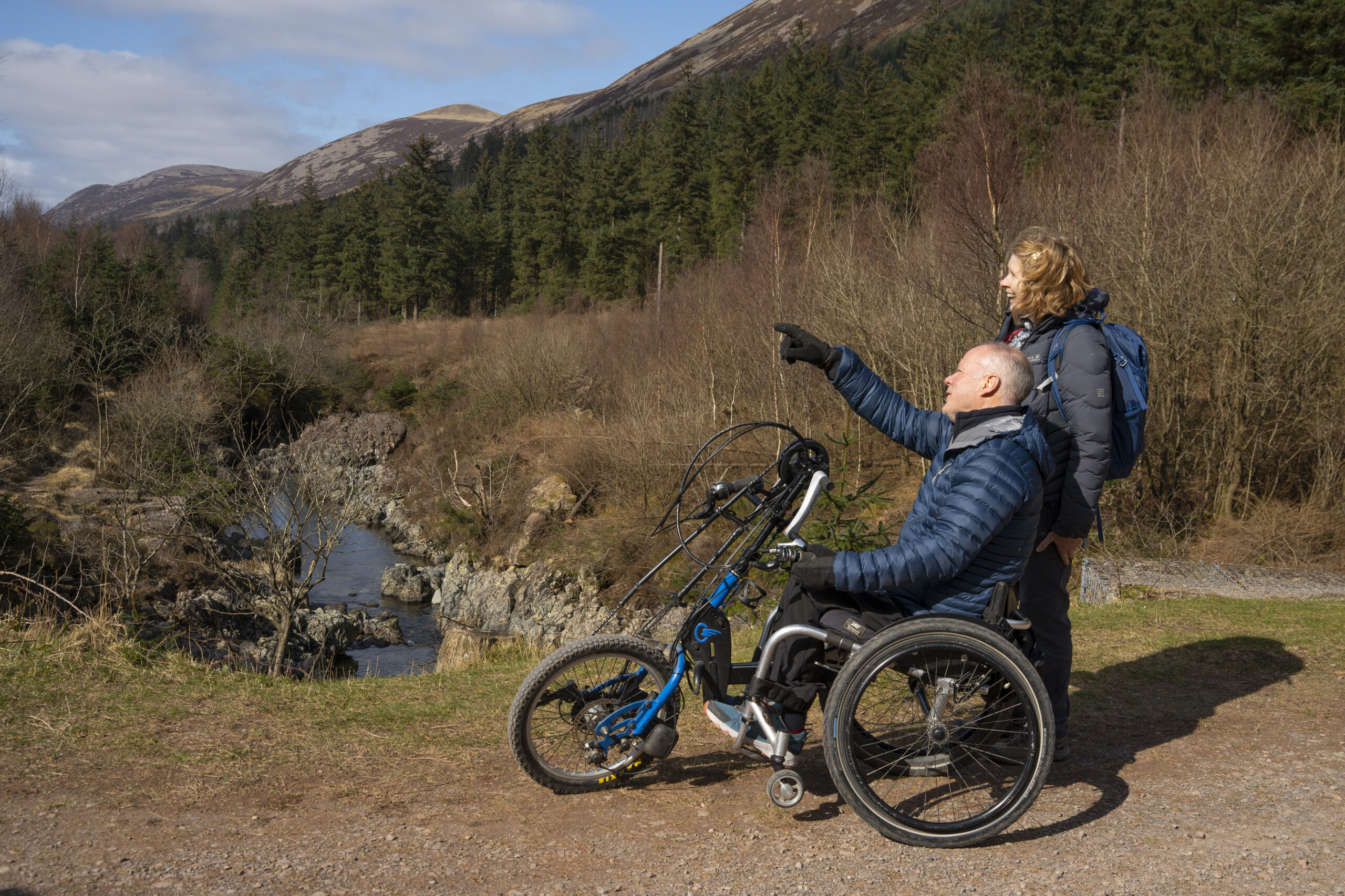
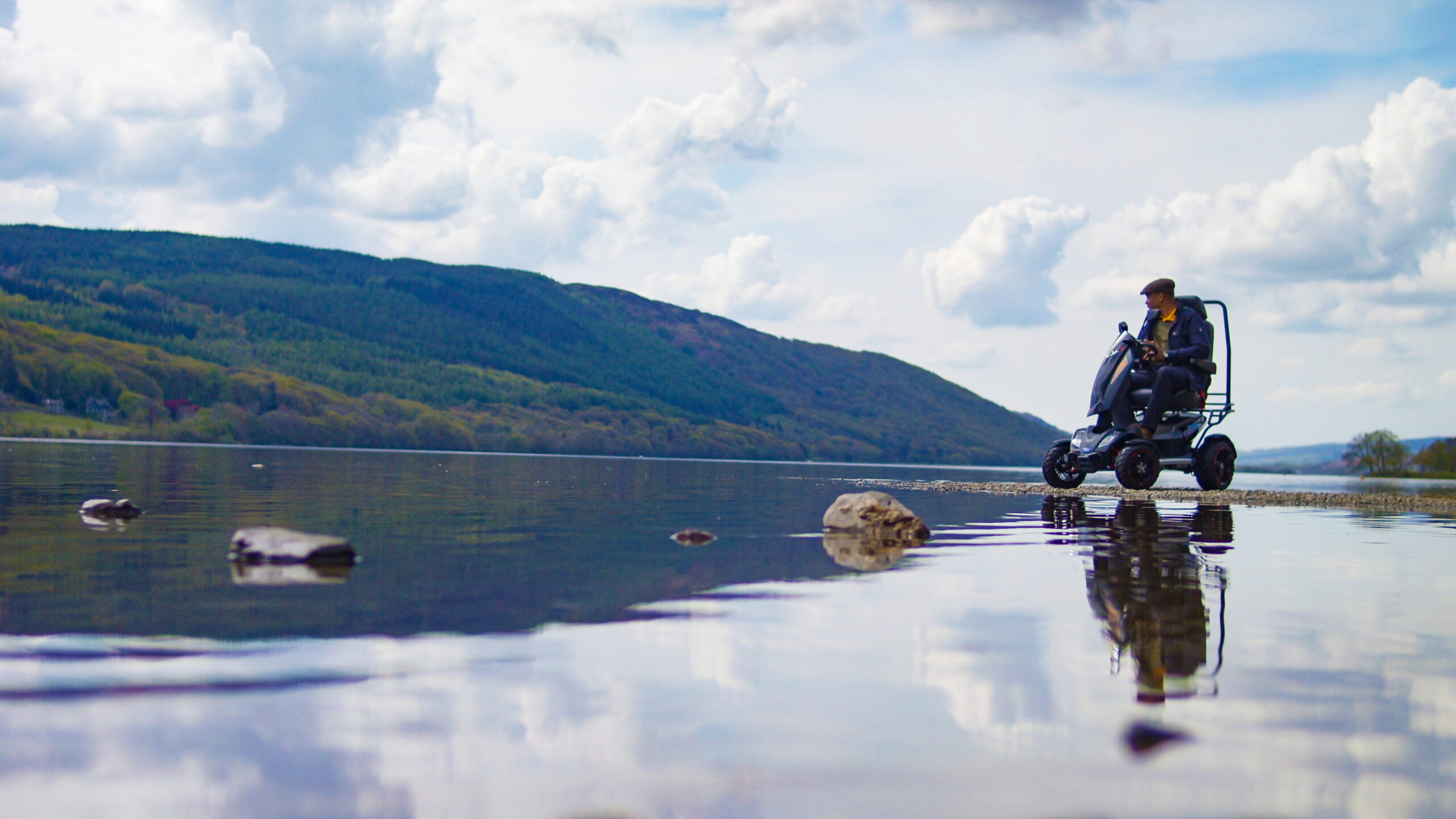
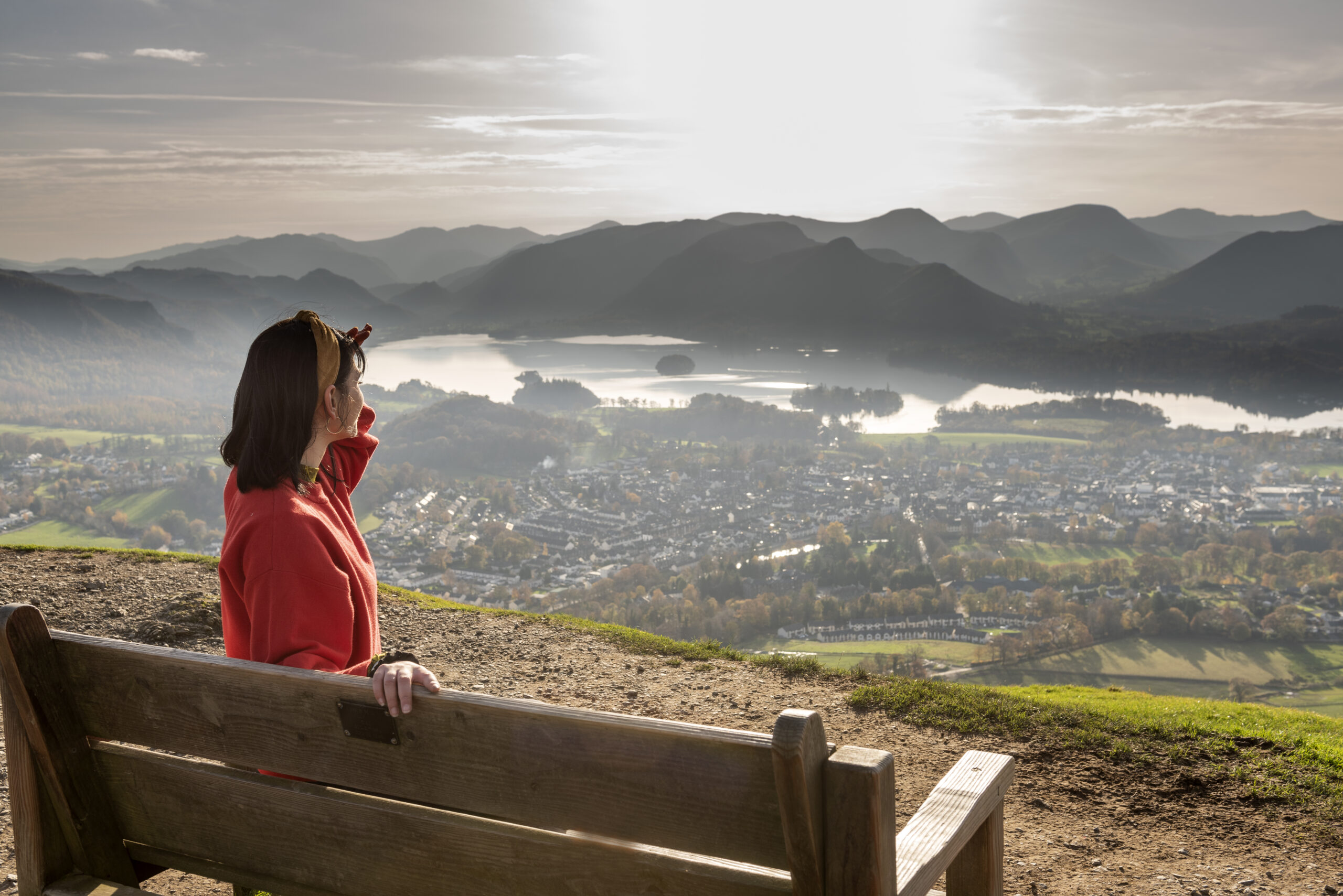
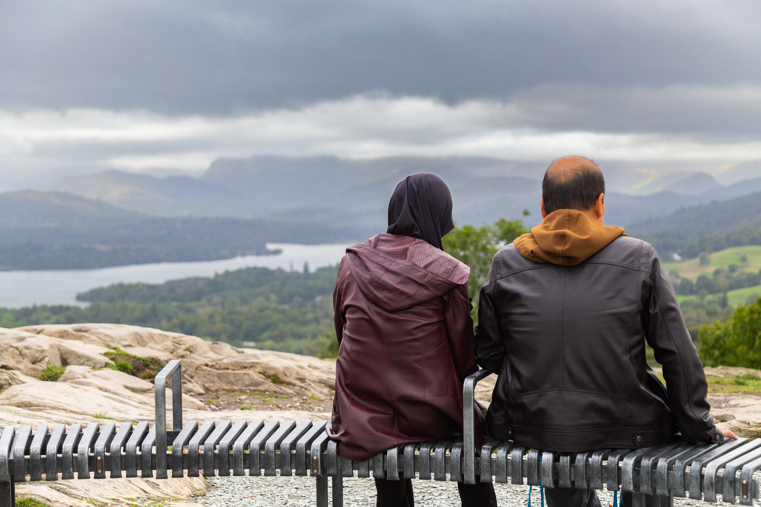
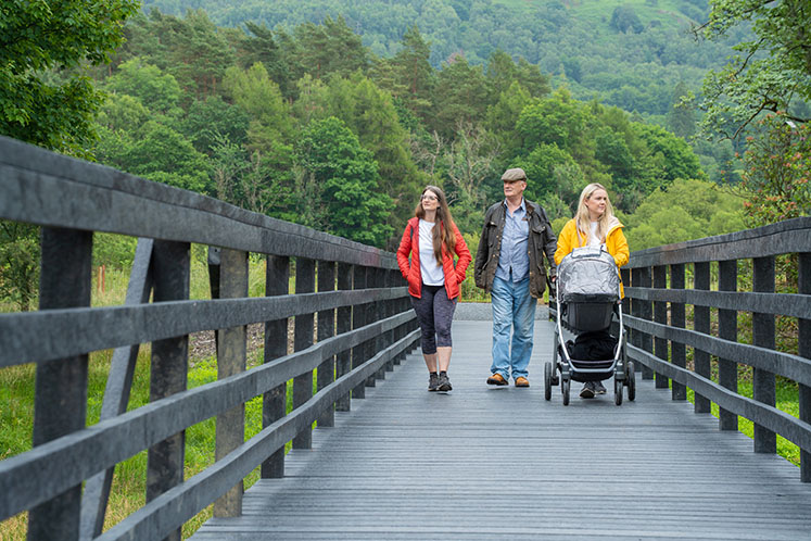
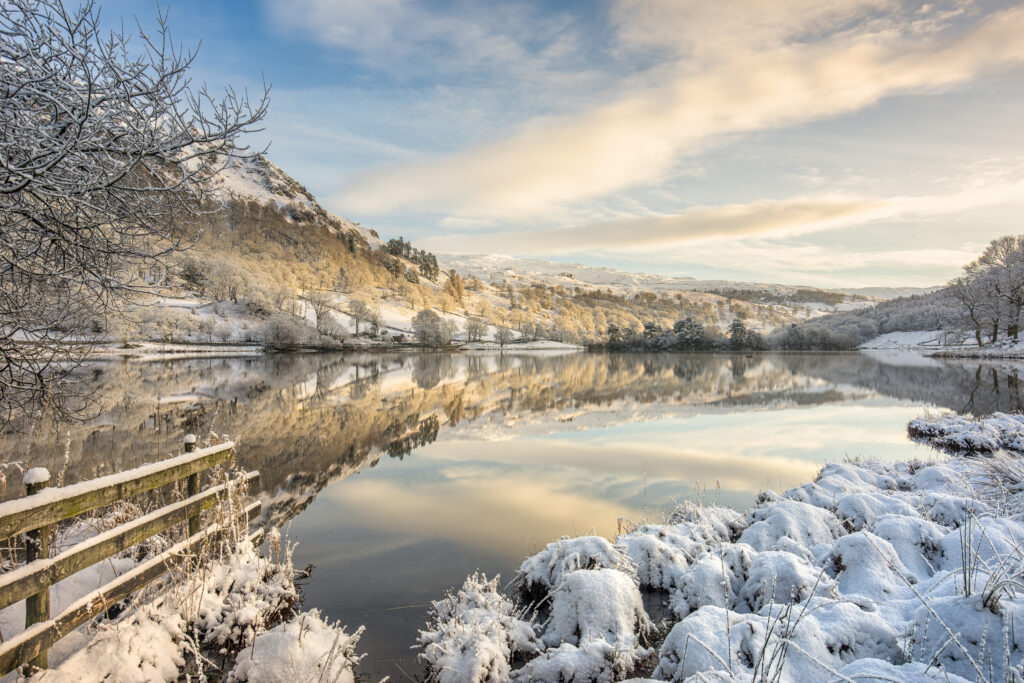
Miles without Stiles are walking routes for everyone. They take you along lake shores and riversides, to tarns and through woods, historic remains, and fell summits with amazing views.
![]()
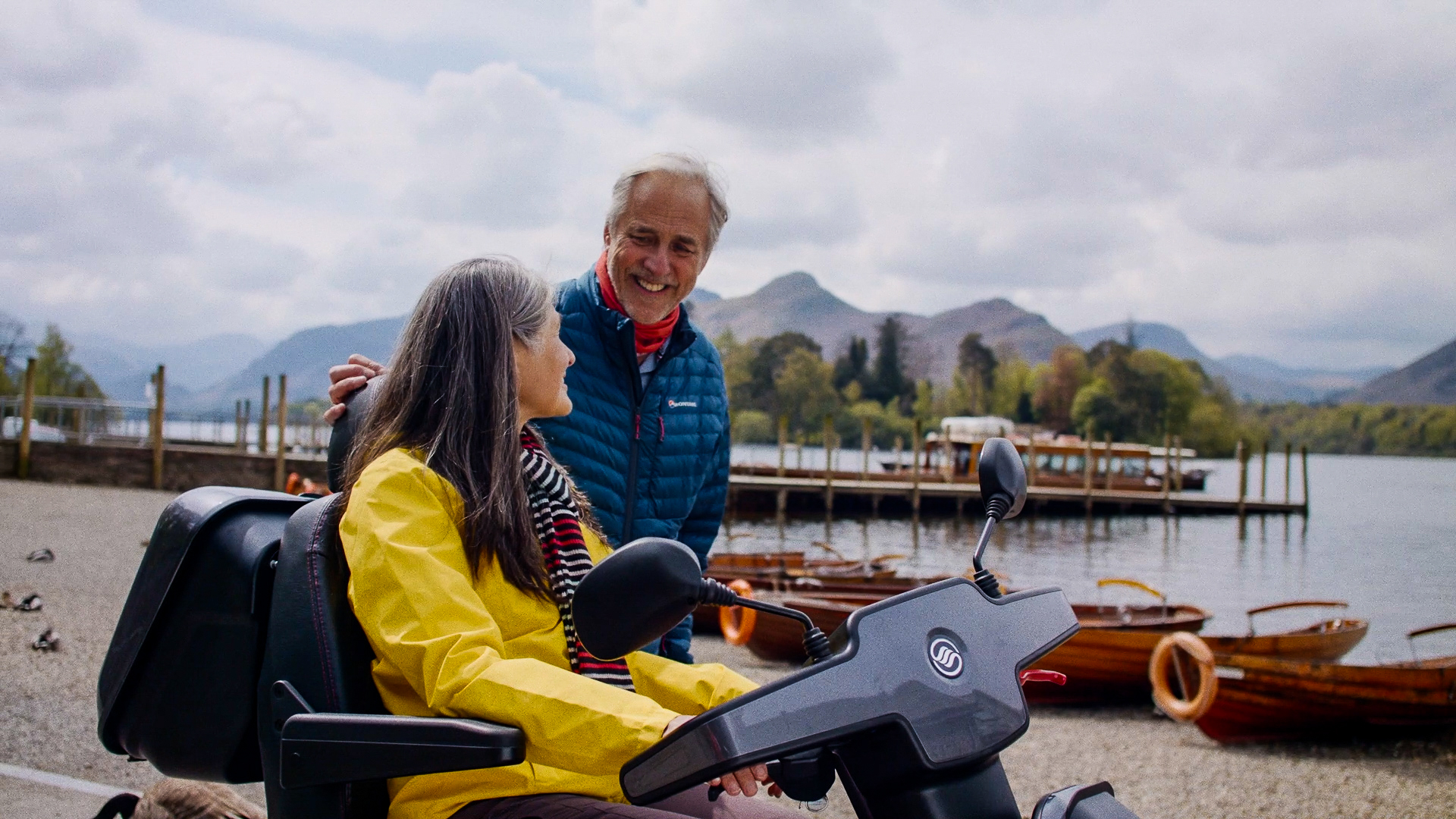
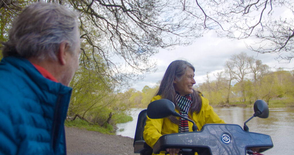
As well as not having any stiles to climb up and over, they are more accessible routes suitable for people with limited mobility. This includes wheelchair users, families with pushchairs, the visually impaired, and anyone who wants an easier walk with no scrambling, climbing or steep hills. Use our routes feed below to explore where the routes are and the facilities available.
Path conditions can change and be damaged, or eroded, by rain and bad weather. We do our best to carry out repairs quickly, but occasionally a route is closed, or diverted, for essential repairs. Check the individual route pages for up to date information on route conditions. Facilities such as toilets or bus timetables are also subject to change.
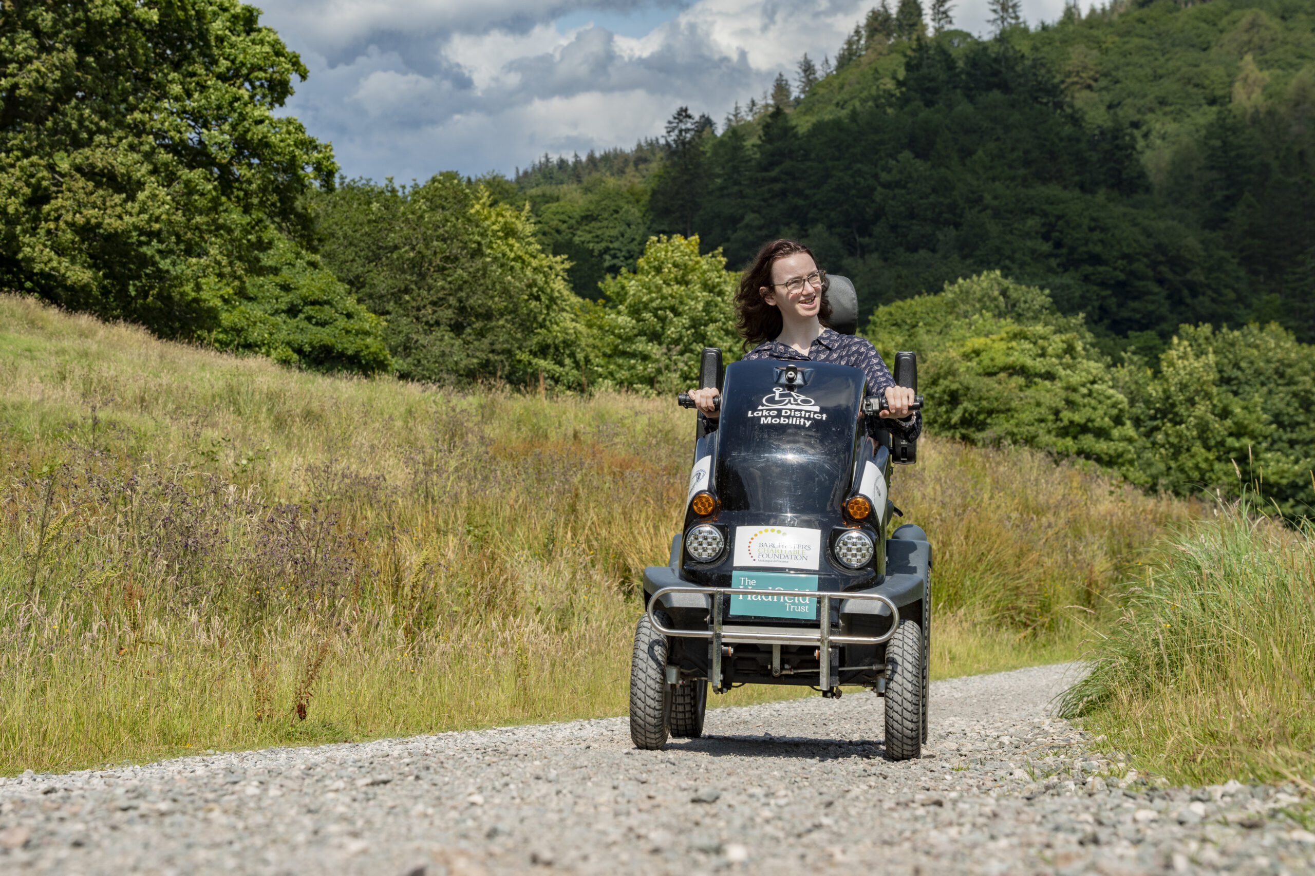
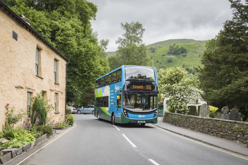
Please note that mobility scooters must be class 2 or 3 on the routes. See also the UK government website page on using mobility scooters and powered wheelchairs, classes of mobility scooter and powered wheelchair.
What are route grades and what do they mean?
Our grading system: for ‘all’, ‘many’, ‘some’ and ‘challenging’, is based on gradients and surface conditions. The grades are a guide only, our aim is to give you information about the route and the terrain, so you can decide if it is suitable for you. Please be aware of your own, and your equipment’s capabilities and ensure your batteries are charged sufficiently if you need them. If you are unsure, maybe try a ‘for all’ route first, then a ‘for many’ route, before attempting a ‘for some’ route and finally, a ‘challenging’ route.
'For all'
- Suitable for: Everyone, including pushchairs, wheelchairs and mobility scooters
- Gradient: No more than 1:10
- Surface: Tarmac or smooth, compacted stone with a diameter of 10mm or less. Path width a minimum of 1m with passing places
'For many'
- Suitable for: Many walkers, pushchairs, wheelchair and mobility scooter users with more robust all terrain equipment
- Gradient: Existing gradients no more than 1:10, newly built gradients can be up to 1:8
- Surface: The path surface will be rougher stone of 4 cm diameter or less
'For some'
- Suitable for: Some walkers, and confident pushchair, wheelchair and mobility scooter users, who may find routes ‘for some’ within their abilities, if they have suitable more extreme all terrain equipment.
- Gradients: not limited, but slopes over 1:6 have improved surfacing or handrails
- Surface: There may be some low steps or breaks in the surface up to 10cm in height. Stone surface material may be up to 10 cm in diameter
'Challenging’
- Only suitable for: Very confident users. They have no barriers other than rougher surfaces and steepness
- Gradients: Slopes up to 1:4 for short lengths (<10m) and up to 1:6 for longer lengths. There may not be any handrails
- Surface: may have longer sections of rough ground for some or most of route. May be soft, muddy with tree roots and rutting occasionally exceeding 100mm but not exceeding 200mm
Miles without Stiles
Planning your visit
A thanks to...
Thanks to the many organisations who have helped us create these routes including:
Cumbria County Council, National Trust, Forestry Commission, Tourism and Conservation Partnership, Bassenthwaite Reflections, Environment Agency, Friends of the Lake District, United Utilities, Parish Councils and private landowners
Parts of these maps are based upon © Intermap Technologies Inc. All rights reserved DlaK001 2009 Copyright GeoPerspectives Copyright LDNPA

