Surveying more than 2000 iconic heritage structures
What will the survey project capture?
Each building and structure is being closely inspected to discover more about their construction and to identify which structures are most at risk and where conservation work is necessary. Information will be gathered around a building or structure’s condition, materials, and any vulnerabilities so that necessary repairs can be actioned. The data will be recorded using ArcGIS, a mapping software.
The survey began with buildings in the west and south areas of the Lake District around Sizergh, Tebay and Shap that were brought into the National Park following the 2016 boundary extension.
The project has gone on to encompass iconic buildings from across the Park that have attracted visitors for centuries. The project, which started in November 2025 and is due to finish in October 2026, will help to ensure their stories and legacies continue to be passed on.
Types of listed structures
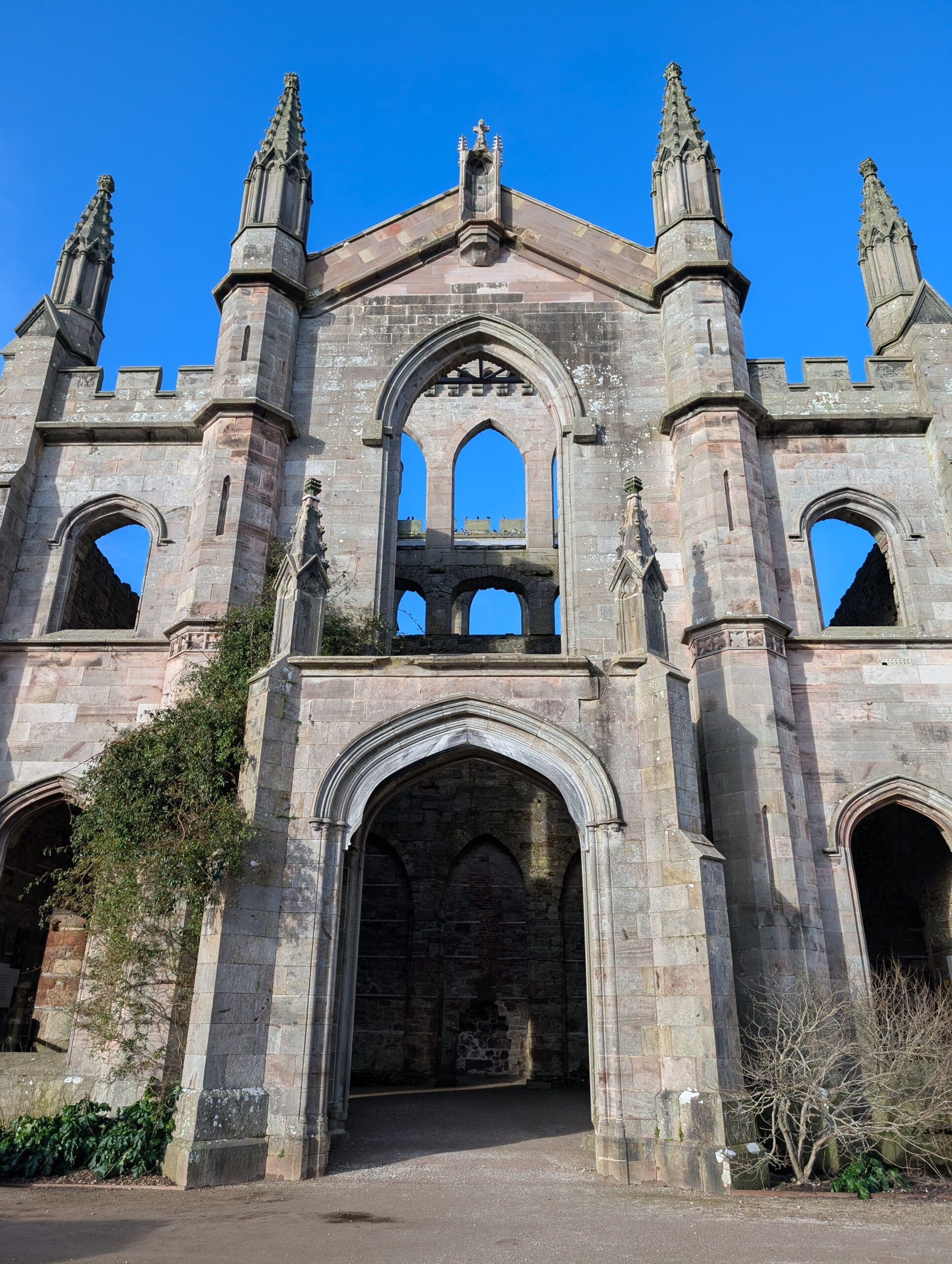
From castles to coaching houses, the diverse heritage of the Lake District encompasses a wide range of buildings and structures.
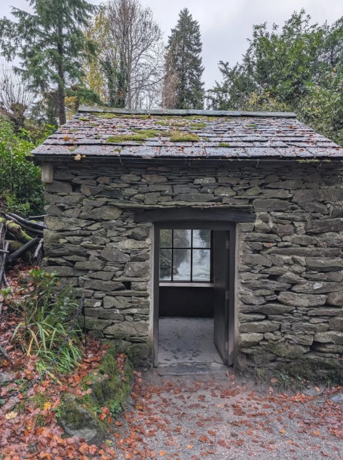
- Farmhouses and barns, such as Town End near Troutbeck
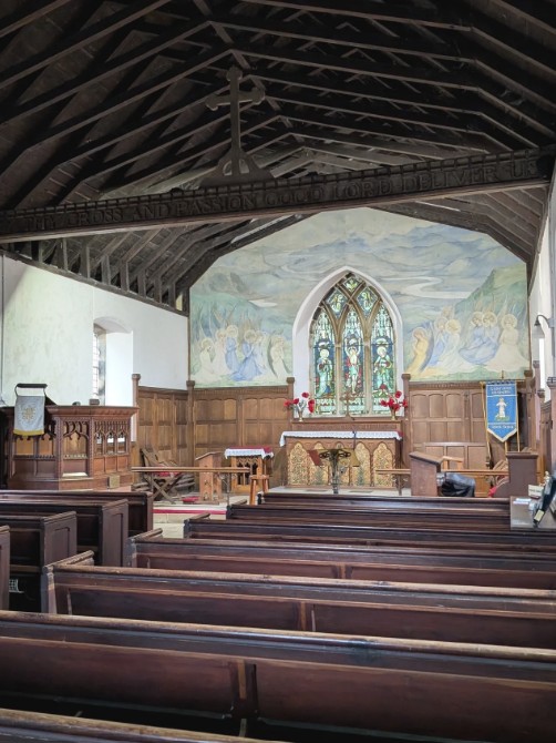
- Churches and chapels, such St Oswald’s, Grasmere, or St Michael’s, Hawkshead
- Bridges, from medieval packhorse crossings to 19th-century stone arches
- Historically important structures, such as red K6 kiosks (phone boxes) and stone waymarks
- Inns and coaching houses
- Boathouses
- Castles and fortified buildings, including Sizergh Castle, Lowther Castle and Wray Castle.
Here are some examples of buildings which have already been surveyed by Michael’s studio:
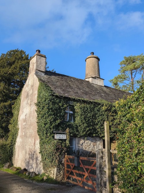
Park End Farmhouse and Barn
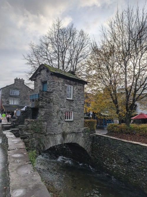
Bridge House, Ambleside
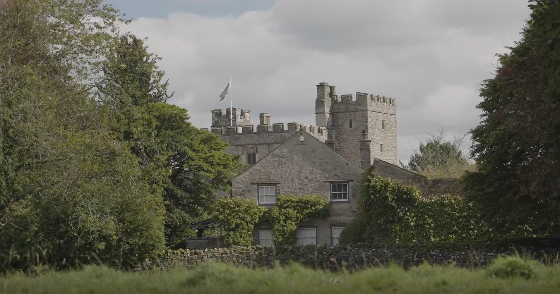
Sizergh Castle
St Johns Church, Keswick
‘The Grot’ at Rydal Hall
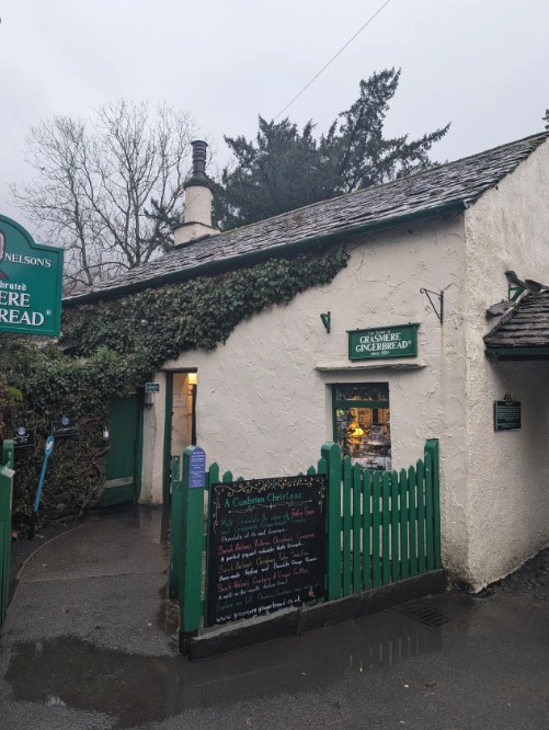
Grasmere Gingerbread
Protecting the Lake District’s distinctive buildings and settlement character
As Michael writes on his website,
“Lakeland vernacular architecture is among the most distinctive in the world, shaped by slate, sandstone, and constant weather. Every valley has its own character, from the cobbled villages of the south to the rugged upland barns of the north.” Michael Swords Studio
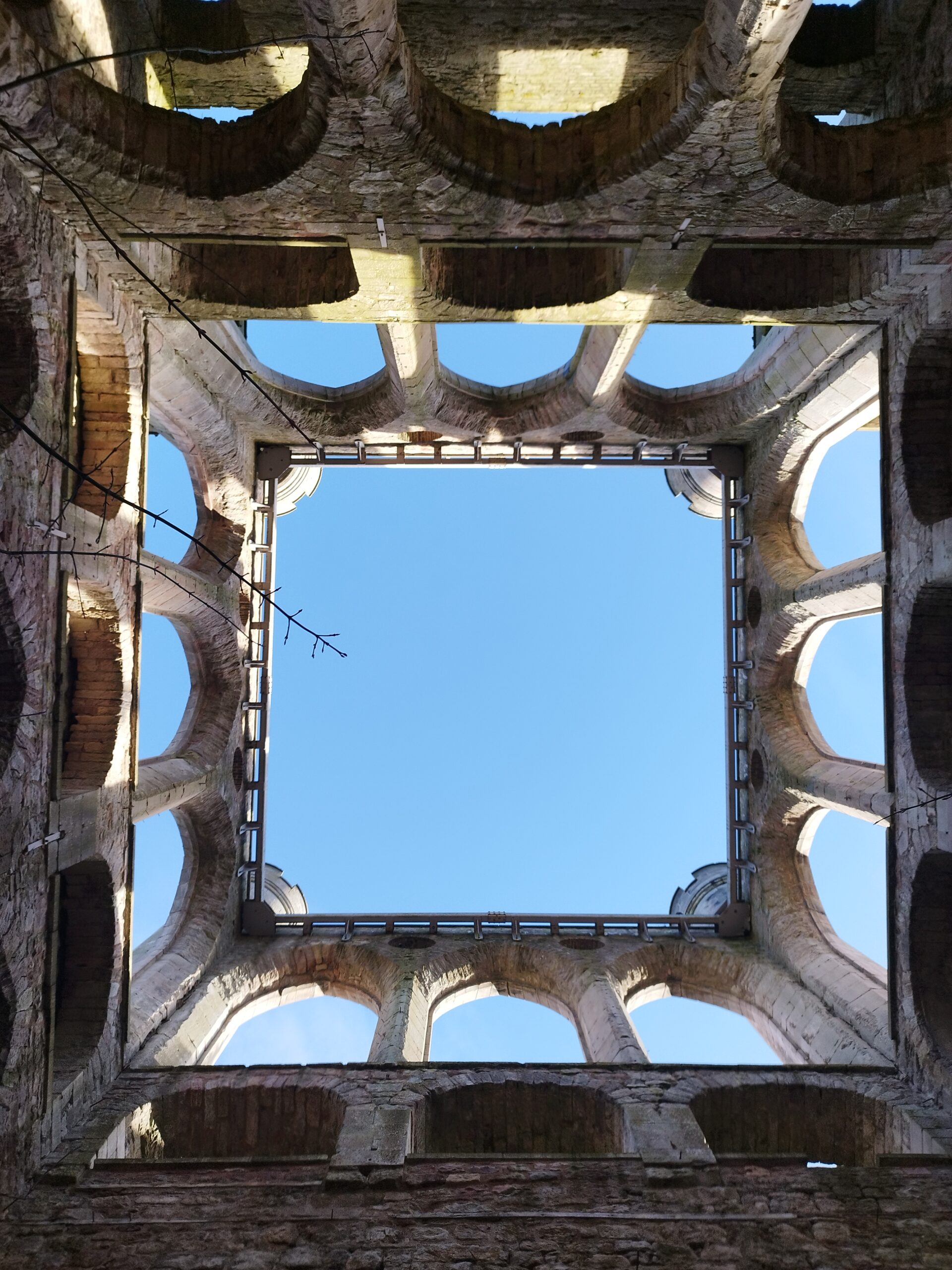
Michael goes on to highlight that surveying the condition of buildings in the Lake District does more than protect its built appearance, but also conserves its varied history and complex cultural identity, evident in spectacular buildings such as Lowther Castle below.
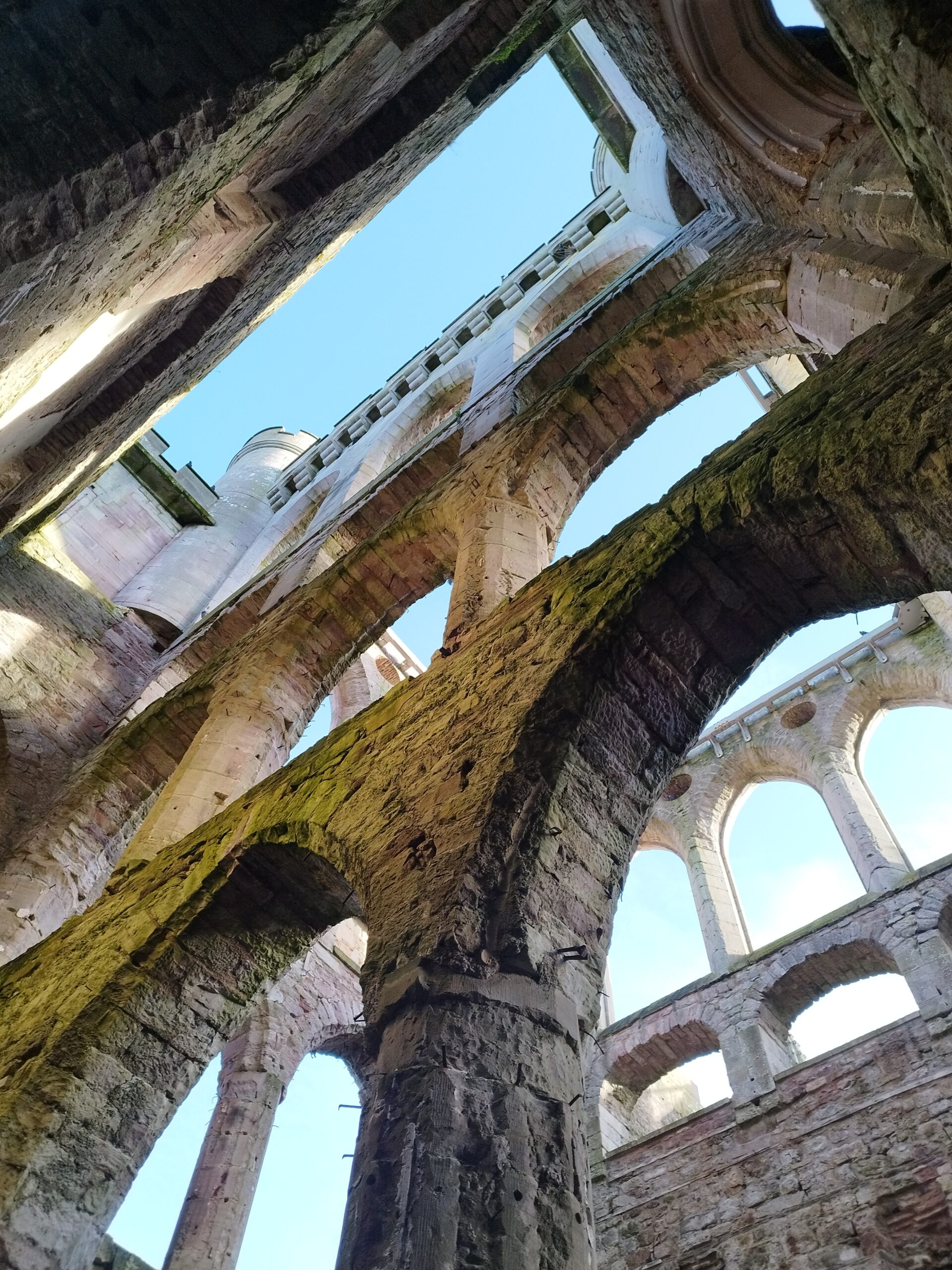
Lowther Castle
Lowther Castle
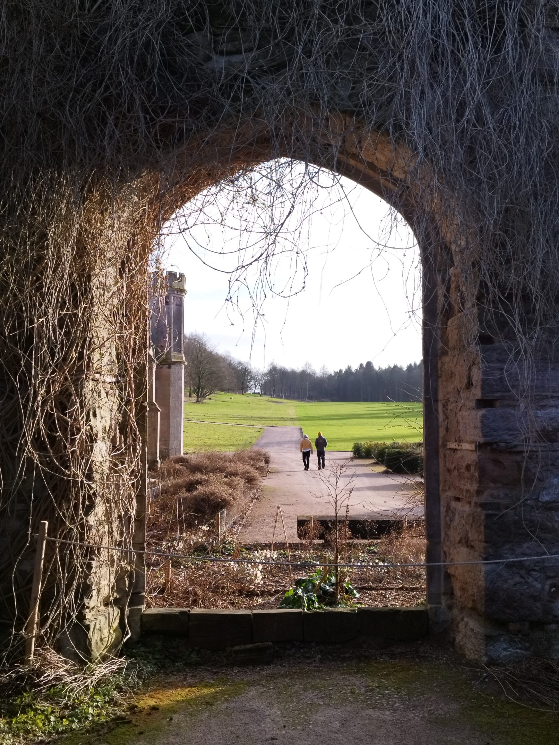
Lowther Castle
Lowther Castle
The Lake District’s distinctive buildings and settlement character form one of the National Park’s special qualities as a World Heritage Site. Rose Lord, the Lake District National Park Authority’s Built Environment Adviser emphasises the importance of carrying out surveys of listed buildings:
“Listed buildings are an essential part of the National Park’s cultural landscape and historic environment, enriching both its heritage and the visitor experience while supporting the local economy. Understanding their condition and the risks they face is crucial to safeguarding their future. This comprehensive survey will help us to enable timely repairs and maintenance, ensuring these irreplaceable assets are conserved and not lost or damaged beyond recovery.”
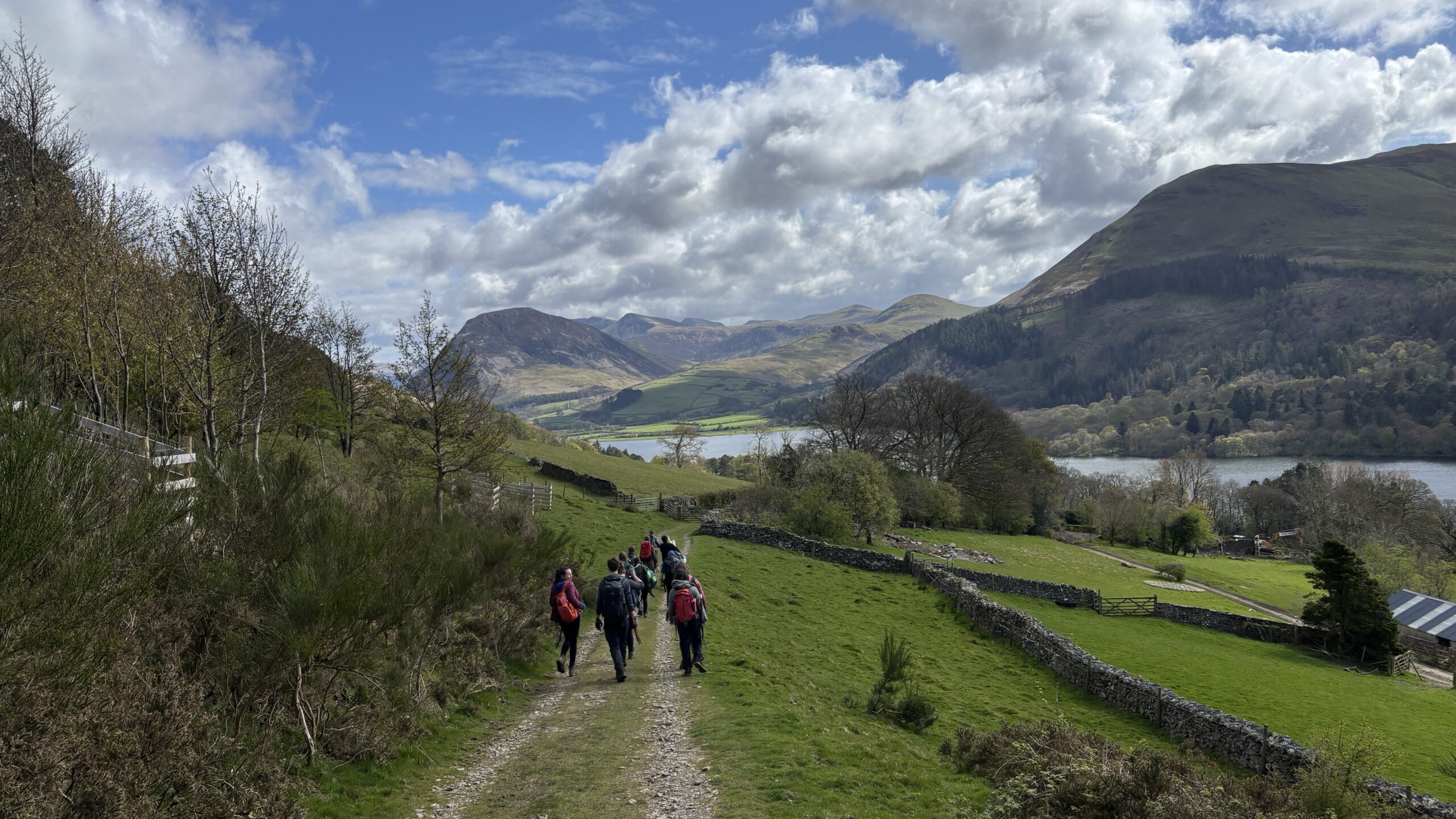
What does a typical survey day look like?
Surveys help us to discover more about buildings and their history. For residents of older buildings, the results of an in-depth survey can inform owners on how to improve their energy rating.
Before the visit:
The studio’s co-founder Samantha leads the project remotely and prepares a map and schedule of buildings for the day, along with a short briefing. Before arriving on site, we read the Historic England listing and check any known history of works to the building.
On site:
I walk around the building first to understand it as a whole before looking closely at individual elements. I then map it on ARCgis, and read the previous materials noted, and check for any changes.
General photography:
I take initial broad photographs and look for any major issues such as structural cracks, movement, deformation, or significant weathering. I then photograph specific defetcs.
Top-down assessment:
I then assess the building systematically from the roof down, roof type, chimneys, rainwater goods, masonry, and openings, considering how materials weather over time. I use speech-to-text software for all surveys, which allows me to get a very detailed analysis of the building.
Condition rating:
Each building is given a simple condition rating (generally Good or At Risk). Fortunately, very few buildings so far fall into the at-risk category.
Local insight:
If the building is occupied, I sometimes speak with residents who can highlight issues such as water ingress that may not be visible externally.
Regional patterns:
I also note common conditions across the Lake District, for example moss growth on roofs or vegetation in gutters, which may not always be harmful but are important to record.
End of the day:
Once back in the office, we write up all detailed notes, check for errors, and add any additional notes or photos to ArcGIS.