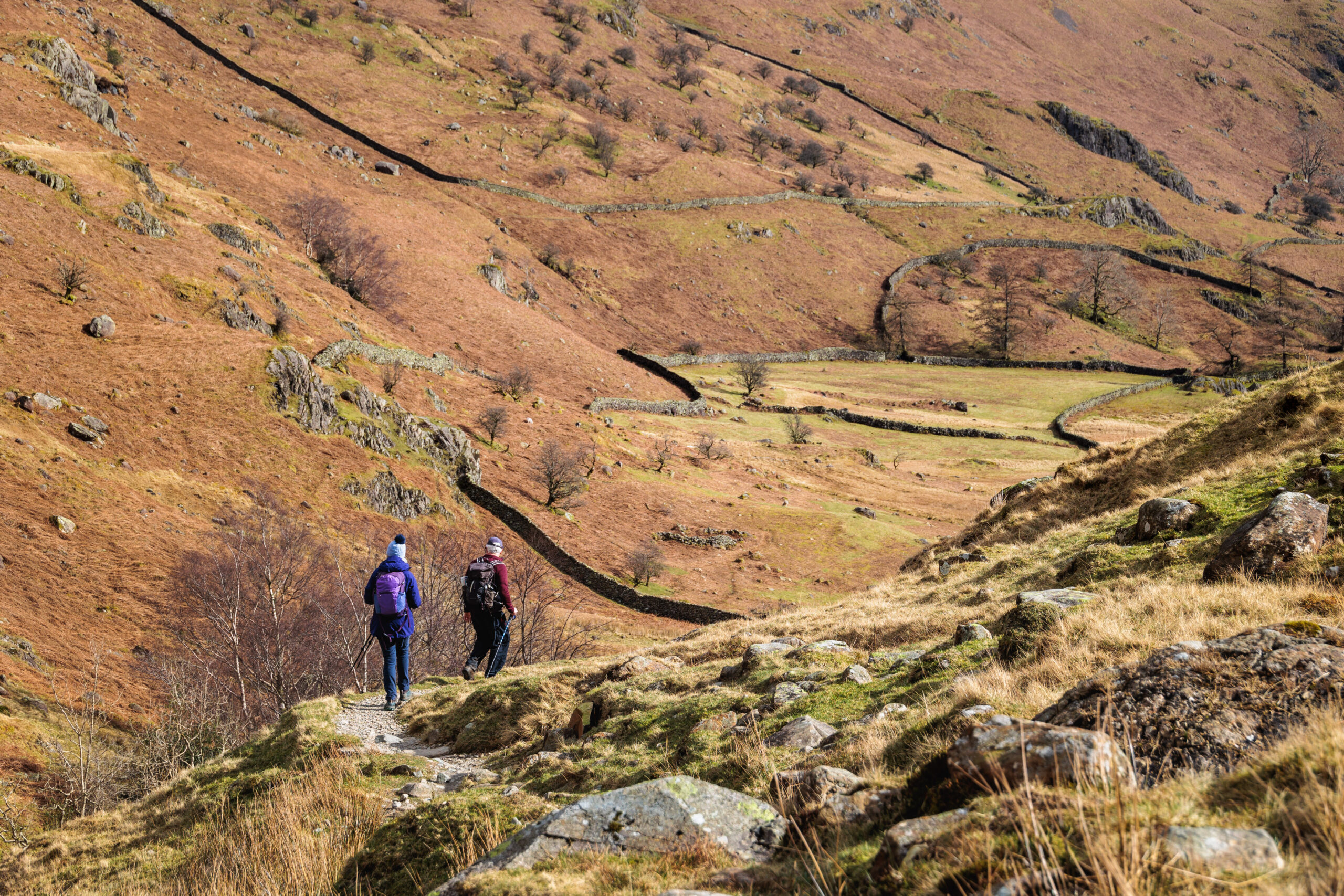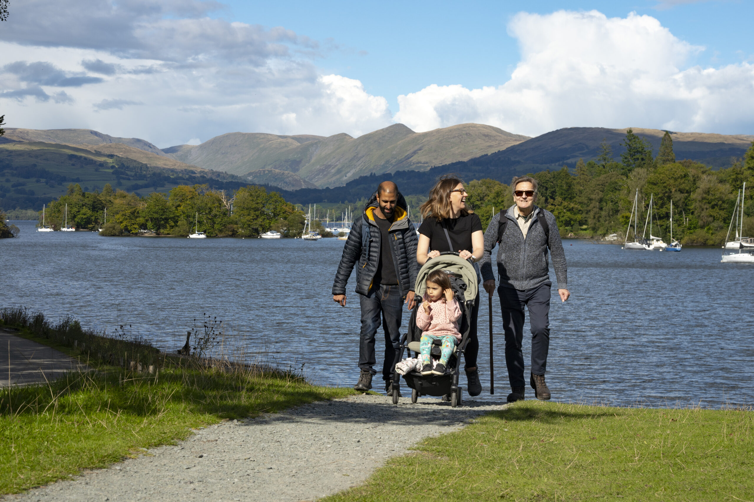
Easy Lake District walks using public transport
Are you looking for walks in the Lake District that offer spectacular views without climbing high? Our 50 Miles without Stiles routes are accessible and great for wheelchair users, families with pushchairs or little legs, those with limited mobility or anyone seeking a stroll to simply take in the fabulous scenery of the Lake District National Park. Our Miles without Stiles routes are graded based on gradients and surface conditions and provide a guide so you can decide if the route is suitable for you. We have picked our top 10 routes that you can do without a car. Hop on a bus, boat or train and take it all in, without worrying whether you will get parked.
1. Pooley Bridge to Gale Bay
Valley: Ullswater
Distance: 1.8km linear route
Grade: For some
Transport: Take the Stagecoach 508 bus from Penrith to Pooley Bridge, running throughout the year. Trains also run regularly to Penrith.
Follow the path along the shore of Ullswater, taking in the views along the northern reaches of the lake. Watch the Ullswater Steamers make their journey to Howtown and Glenridding. Looking north, you can see the steep mound of Dunmallard Hill with the remains of its ancient settlement on top. This must have been an important defensive location at the entrance to Ullswater and may have been part of a line of defensive locations that were designed to repel any invader. Once you arrive back in Pooley Bridge, enjoy a drink and a bite to eat in one of the pubs or cafes.

© Image of Duke of Portland Boathouse by Mike Childs
2. Brothers Water
Valley: Ullswater
Distance: 3.75km linear route
Grade: For many
Transport: Between Easter and October, you can catch the 508 bus service between Penrith and Windermere, stopping at Cow Bridge or the Brotherswater Inn, depending on which end you wish you start.
This gentle route takes you along the wooded shoreline of Brothers Water, look out for summer blooms of water lilies, moorhens, coots and swans. Along the track you’ll come to the historic Hartsop Hall, a 16th century Grade I listed building. Dove Crag, one of the steepest cliffs in the Lake District, stands mighty at the head of Dovedale valley.

©Image of Brothers Water by Nick Hall
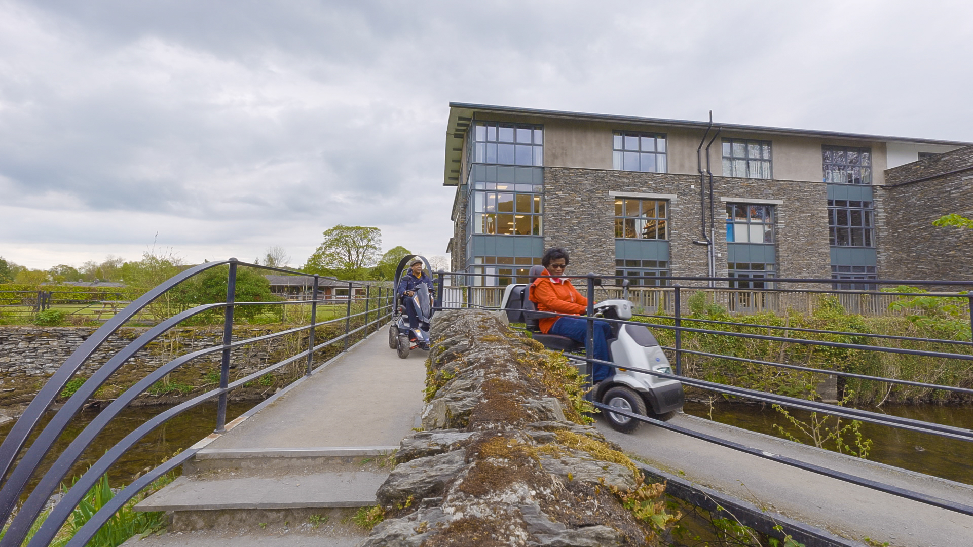
3. Orrest Head
Valley: Windermere
Distance: 3.5km linear route
Grade: For some
Transport: The route starts across the road from Windermere bus and train station. Regular train services arrive from Kendal, Oxenholme and beyond with frequent bus services calling in, eg 555 Stagecoach service.
Discover the view that made Alfred Wainwright fall in love with the Lake District and inspired him to write his pictorial guides on the 214 fells. This is a fabulous accessible route, that allows people to experience a panoramic view of Windermere and the central fells. Make sure to follow the blue-marked route, to avoid any steps.

4. Windermere’s Western Shore
Valley: Windermere
Distance: 9km linear route
Grade: For many
Transport: Start at Bowness and take the scenic route by boat across Windermere from pier 3, or take the car ferry (with or without the car) from Ferry Nab to Ferry House.
Discover a quieter part of Windermere along the western shore and escape from the hustle and bustle of Bowness-on-Windermere. Following a stone track, along the shore, you’re presented with spectacular lake views and mountain tops. There are plenty of picnic spots along the way, with pebbled beaches and wooded areas to rest for a moment or two. Feeling adventurous? Continue all the way to High Wray and explore Wray Castle.
5. Walls Drive, Ravenglass
Valley: Eskdale
Distance: 2.2km linear route
Grade: For all
Transport: This walk starts at Ravenglass train station. Trains run regularly from Lancaster and Arnside in the south and Workington and Carlisle in the north.
Take in the coastal views, the only bit of coast within the Lake District National Park, as you approach Ravenglass. If you enjoyed your history lessons, this route is for you, packed full of heritage. Follow the footsteps of the Romans and discover the remains of a bath house of Ravenglass Roman fort, established in AD 130, also known as Walls Castle.
Ravenglass is a charming coastal hamlet with pubs, tea rooms and public toilet facilities.
6. Dalegarth to St Catherine’s Church
Valley: Eskdale
Distance: 2.5km loop with two spur path options
Grade: For some
Transport: Experience the La’al Ratty Railway and ride from Ravenglass to Dalegarth station. The train can accommodate wheelchair users.
From war memorials and 12th-century churches to spotting dippers by the river, this walk offers a feast for the senses. Go back in time to Eskdale’s mining era as you travel along an old railway track called “the tramway”. When you’ve made it back to Dalegarth station, enjoy a well-deserved cuppa and a cake in the café, before hopping on the La’al Ratty.
Map and route information for Dalegarth to St Catherine’s Church
7. Friar’s Crag
Valley: Borrowdale and Bassenthwaite
Distance: 2.5km circular or 1.25km linear route
Grade: For all
Transport: Multiple bus services into Keswick town centre with a short walk down to Crow Park and Derwentwater.
Take in the mighty Borrowdale backdrop looking across Derwentwater towards Catbells, whilst sitting on what is one of the best seats in the Lake District. A short route but with impressive views, taking you through woodland before heading back into Keswick town centre, filled with lots of independent shops, cafes and restaurants.

© Image of Derwentwater by Andrew Locking
8. Dubwath Silver Meadows
Valley: Borrowdale and Bassenthwaite
Distance: 2.5km circular route
Grade: For all
Transport: X5 Stagecoach bus service from Keswick to Dubwath village.
Explore Lake District’s first wetlands nature reserve at Dubwath Silver Meadows.
A home for many species of wildlife, it’s a haven for nature lovers and bird watchers. Stop off in the many shelters, built by volunteers using traditional methods such as willow weaving, and travel along environmentally friendly boardwalks, made from recycled bottles.

© Image of Osprey, RSBP Ben Andrew
9. West Windermere Way
Valley: Windermere
Distance: 3km linear route
Grade: For some
Transport:
- Bus: Stagecoach 6 from Kendal or Windermere, 6C from Kendal to Barrow or X6 from Kendal to Ulverston, and the X60 Blueworks bus from Newby Bridge to Ulverston.
- Train: Lakeside and Haverthwaite railway from Haverthwaite Station to Newby Bridge Halt or Lakeside Ferry Terminal.
- Boat: Windermere Lake Cruises from Bowness on Windermere or Ambleside.
Enjoy a quieter part of the Lake District whilst spotting the 1950s steam train, buzzards circulating over the woodlands and bats darting at dusk. There are benches along the way for you to take a moment to rest and look up at Gummers How fell. A newly built boardwalk and railway bridge and has built to provide access along with interesting information panels to learn more about the area.
At Lakeside you’ll find an aquarium, a ticket office for Windermere Lake Cruises and Lakeside Hotel or at the other end you can grab something to eat at Swan Hotel or Newby Bridge Hotel. The full West Windermere Way route continues from Lakeside through Finsthwaite to YMCA, but not all of it is a Miles without Stiles route.

10. Staveley Riverside
Valley: Windermere
Distance: 1.25km circular route
Grade: For all
Transport:
- Bus: The 555 Stagecoach bus from Kendal to Windermere stops at Staveley every hour until the early evening.
- Train: The Kendal to Windermere train stops at Staveley, but please note there are two flights of steps from the pavement to access the platform.
On the banks of the River Kent, this route takes you along the river with views towards the Kentmere Valley. There may also be days where you could have this route all to yourself!
The River Kent is one of England’s fastest flowing rivers and historically was essential to the success of local industry. Take a moment to spot any kingfishers and dippers speeding by.
Staveley is a small village but plenty of options to grab a bite to eat in cafes, pubs and bakeries.
-
Be Lake District Kind
If you’re planning a trip to the Lake District National Park, make sure you leave no trace. Take away any litter home with you, do not light fires or BBQs, pick up and bin dog poo, close gates behind you and keep to paths . If you do need to travel by car, park responsibly without blocking roads and gates.
Help us look after this place for future generations. Learn more about #LakeDistrictKind on our Plan your visit page.
Explore all Miles without Stiles routes
These are just some of our favourites you can do using public transport. How many of the 50 Miles without Stiles routes can you tick off?