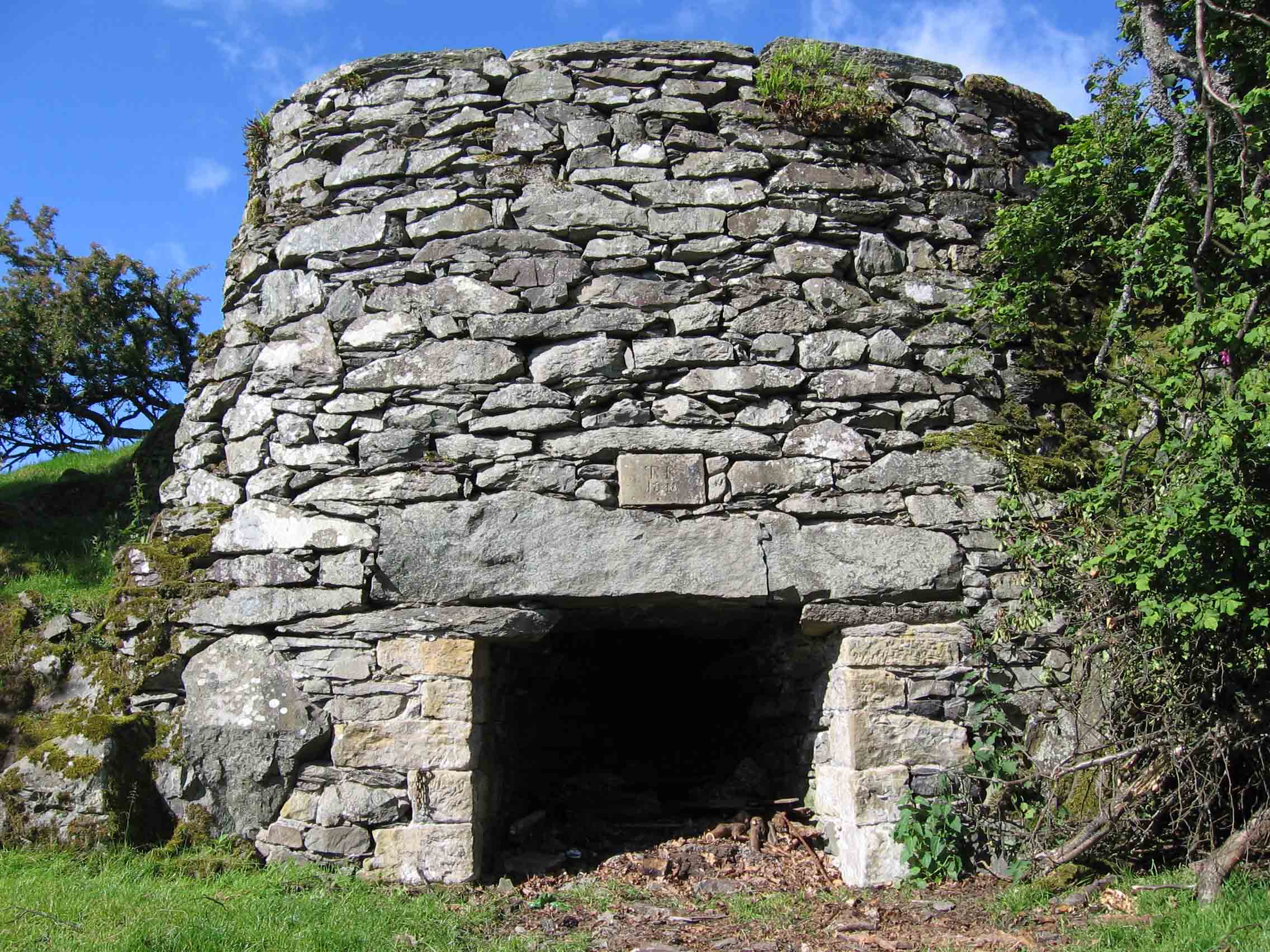
19th century limekiln situated west of the local public house is a Grade II listed feature reflects the village's industrial heritage and the historic use of the area's underlying carboniferous limestone.
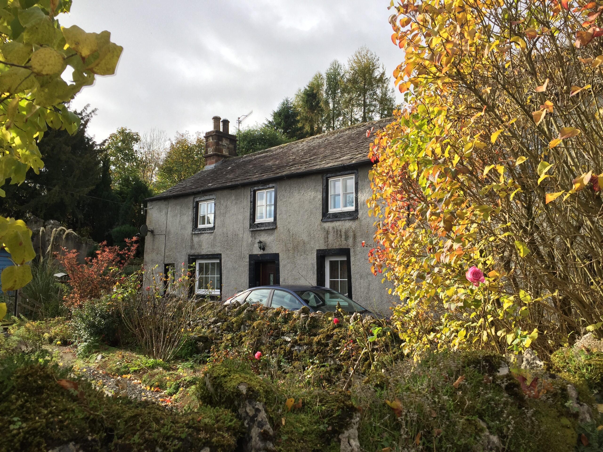
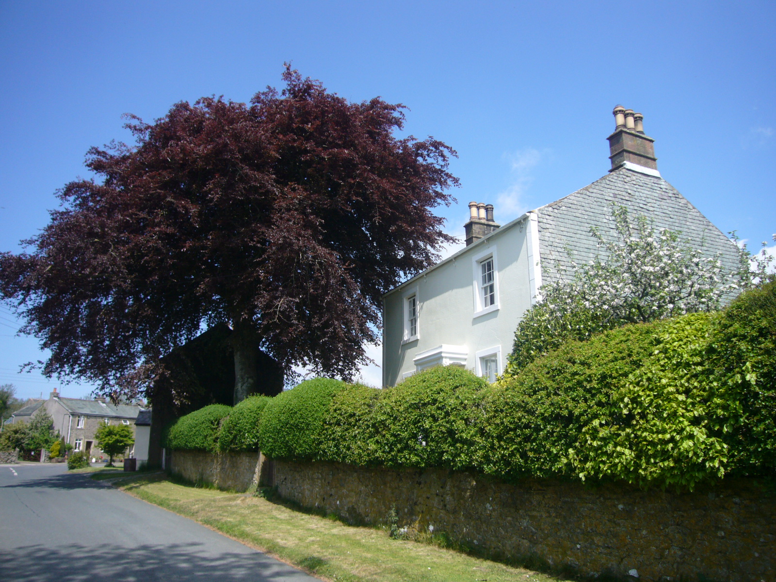
Yew Tree House, the early 18th-century vernacular cottage is a classic example of the local double-fronted, two-storey design and still retains a rare "fire window" once used to light a deep internal inglenook.
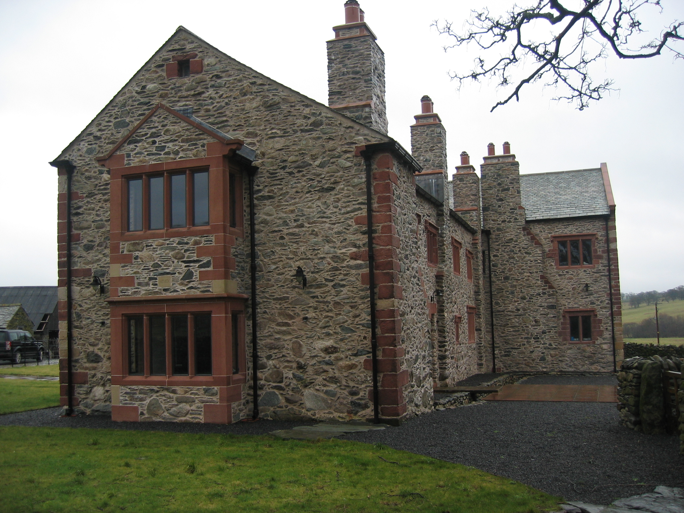
Bampton Hall, a Grade II listed 17th century house with a distinctive L-plan design.