
Where can I walk and hike?
Find the perfect route for you
There are lots of options for walking and hiking in the Lake District and relevant apps and websites are full of inspiration, including OS Maps. Check out of collection of walking routes below.
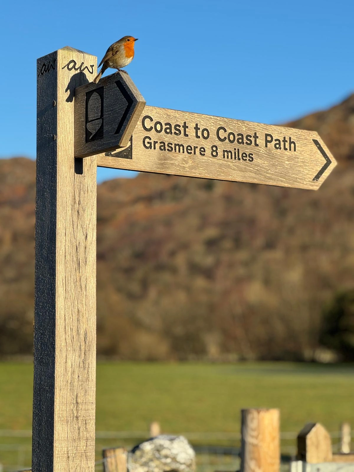
Badges and signs you can follow for walking
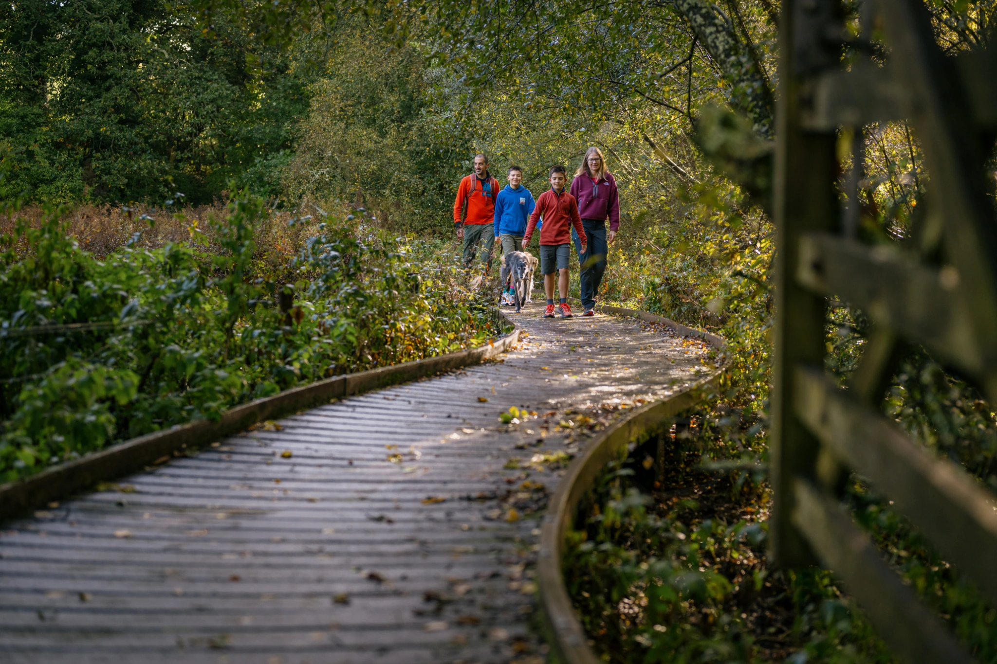
Planning a route on one of the over 3,200 km of public rights of way in the Lake District National Park is a great way to explore. Know which routes are suitable for you, who else you may be sharing the trail with and waymark signs to look out for.
Many significant trails, such as the Coast to Coast National Trail and the Cumbria Way have specific waymarkers to follow. Villages, fells and popular points of interest are also often seen on waymarker posts across the Lake District National Park.

Miles without Stiles
Our series of 50 Miles without Stiles accessible routes for all take you along lake shores, river sides and tarns, across woods, historic remains, and fell summits, with amazing views. Find your perfect Miles Without Stiles route by filtering based on grade, distance, duration and facilities.
Ways, trails and popular routes
Did you know, the Lake District National Park is a UNESCO World Heritage Site? This means the Lake District is recognised by the international community as an area of outstanding universal value. The Park’s unique valley landscapes, nature and heritage can be experienced along it’s National Trails, established Ways and popular trails, with some listed below.
West Windermere Way
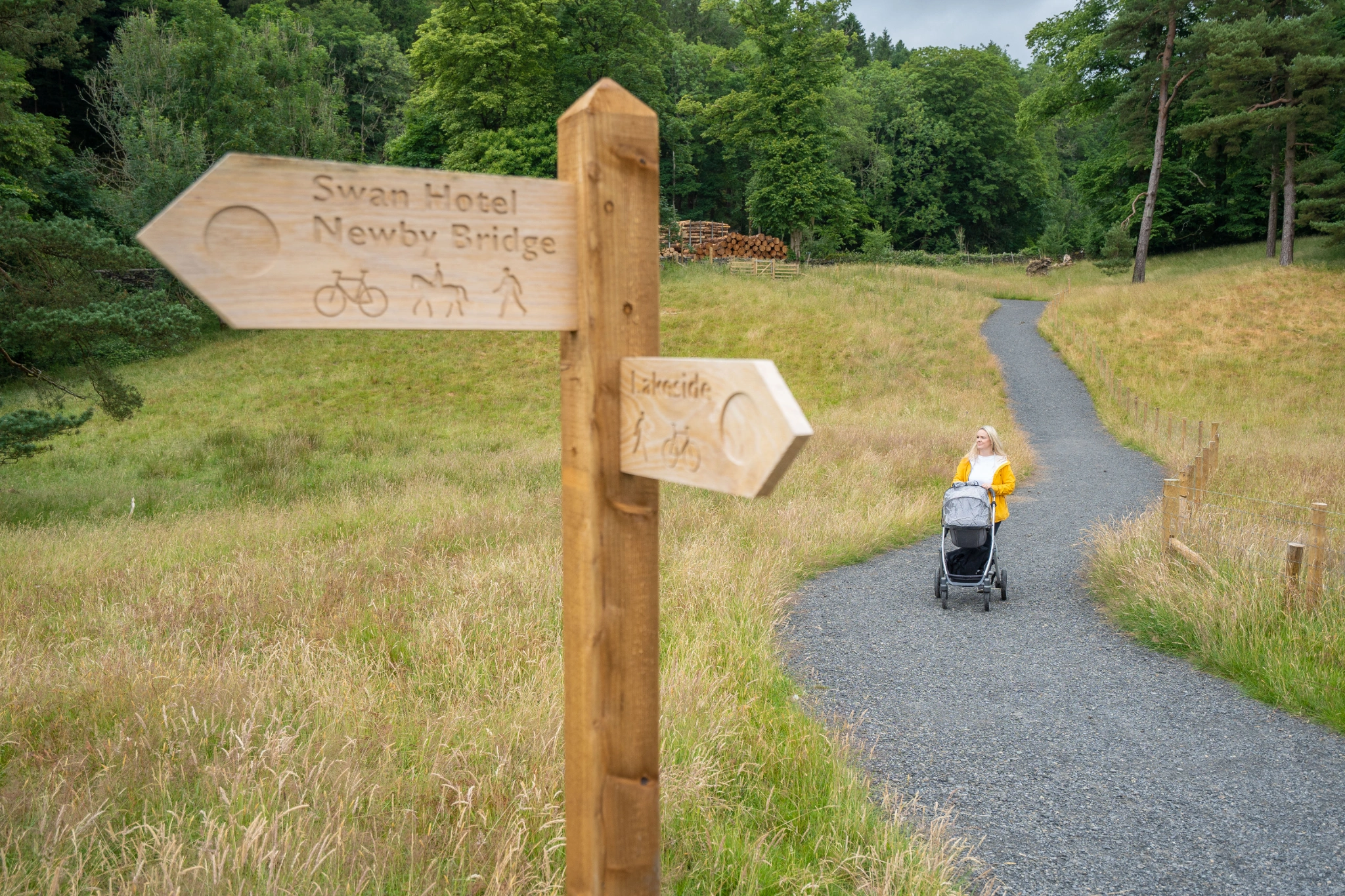
This walking route takes you between Newby Bridge to Lakeside YMCA via the Lakeside Ferry Terminal and Finsthwaite. There are three route options, with something suitable for everyone:
- West Windermere Way (walk) – the full route, ideal for walkers (5.58 km)
- West Windermere Way (multi-user) – ideal for walkers, cyclists and horse riders (4.65 km)
- West Windermere Way (accessible) – ideal for Miles Without Stiles users (1.72 km)
Route covered on OS Explorer Map OL7.
Ullswater Way
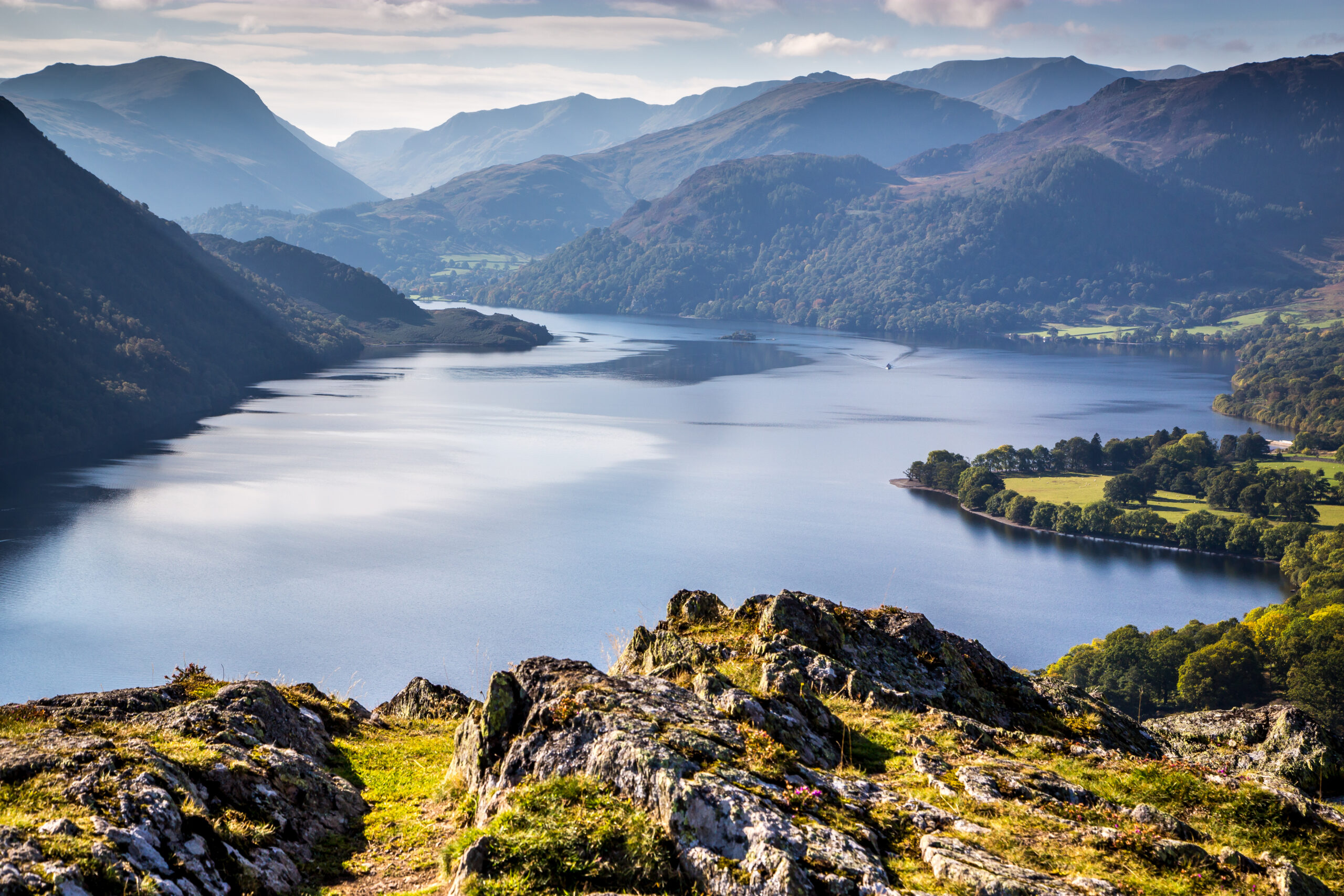
The Ullswater Way is a 20 mile walking route that goes around the whole of Ullswater lake. You can do the walk in one go, or smaller sections combined with a boat trip or bus ride. There are villages and eating places along this scenic walking route.

13 Valleys Trail
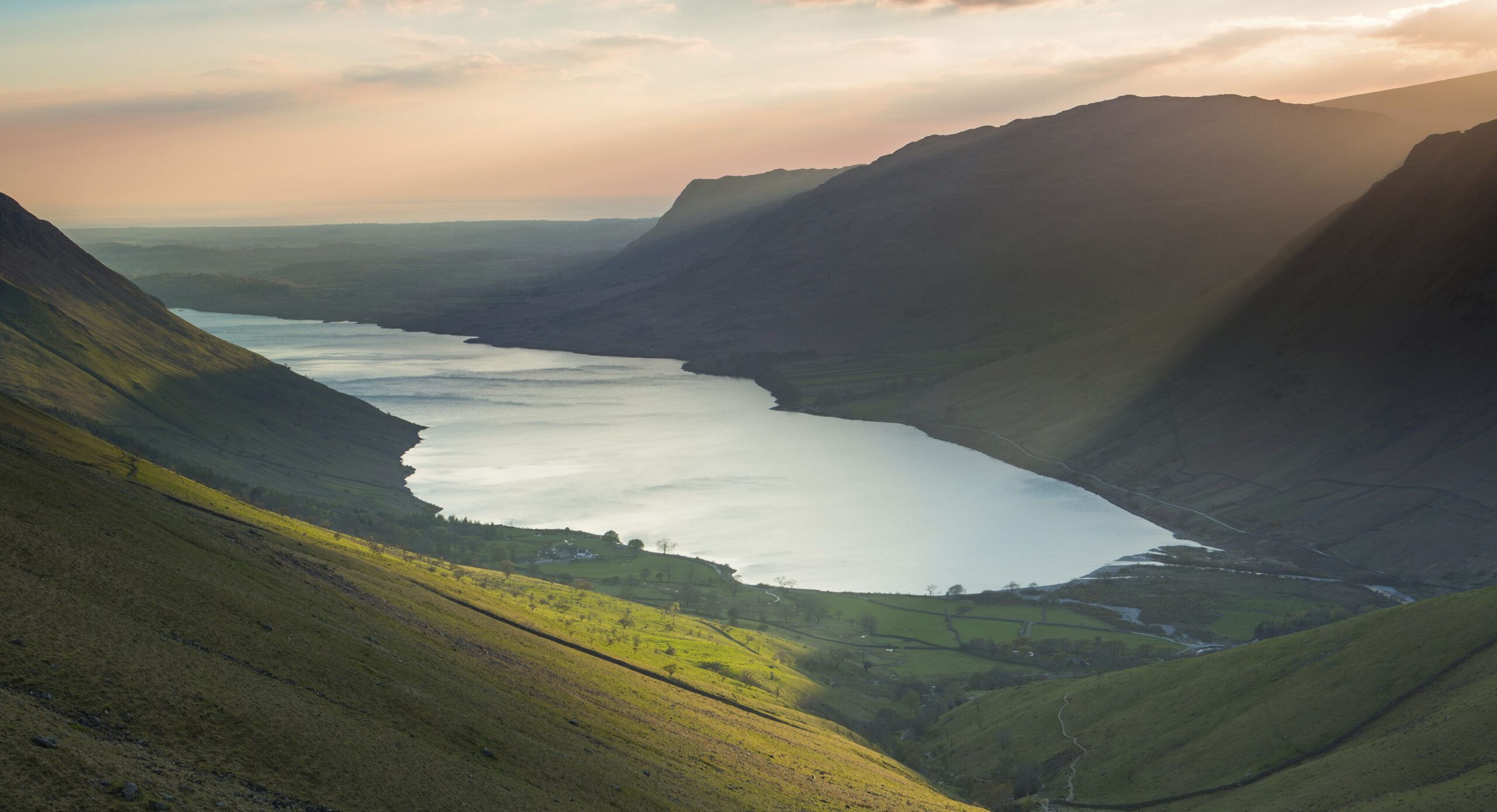
The 13 Valleys Trail visits all 13 of the unique World Heritage Site valleys in the Lake District National Park. The trail can be followed as a long route for the adventurous or walked in short sections. Within each valley you will find roundels on public rights of way markers. When you scan the QR code you’ll be able to learn more about the unique features of that particular valley.

Audio walking trails series
Three audio walking trails exploring industrial archaeology of Windermere catchment, looking at how humans shape landscape. Each trail has an mp3 audio, downloadable guide, route instructions and map:
- Dig Dig Dig Audio Trail – Grasmere to Greenhead (5km)
- Feel the Force Audio Trail – Grasmere to Easedale (5km)
- Hearts of Oak Audio Trail – Elterwater Common (2.3km)

The 8 Greenwood Trails
A collection of walks in Rusland, an area that stretches between Windermere and Coniston Water to the south of Grizedale forest. Each trail has shorter, medium or longer options to choose from. Check out the trails on the Ruslands Horizon website via the links below.
- Trail 1: Old Hall Farm to Rusland Moss and Hay Bridge – 2.5 km, 6.7 km, 8.7 km
- Trail 2: Haverthwaite Heights to Abbots Reading – 3.5 km, 4.8 km
- Trail 3: The Bobbin Mill to High Dam, Yewbarrow and Finsthwaite – 4.3 km, 10 km
- Trail 4: Oxen Park to Bethecar Moor – 6 km, 9.5 km, 11.5 km
- Trail 5: Rusland valley and Yewbarrow – 7.5 km, 13.7 km
- Trail 6: Grizedale West multi-user accessible trail – 10.5 km with optional extra loops
- Trail 7: Finsthwaite Tower and The Knott – 5.6 km
- Trail 8: Satterthwaite and Rusland – 7.5 km, 9.5 km
Coniston Copper Mine Trails
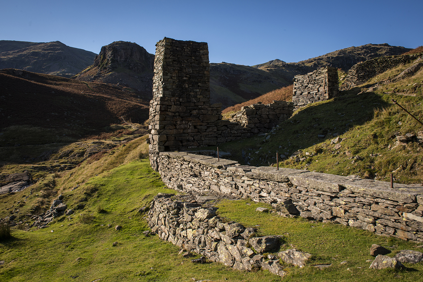
The Coniston Coppermines are a treasure trove of heritage, history and dramatic scenery. There are three trails which start in Coniston, taking you up to parts of the Coppermine area. On the page below, you can see the three trails as well as download and print a series of self-guided trails to help you find your way around the Coniston Copper sites and identify what you are looking at.
Scafell Pike (challenging)
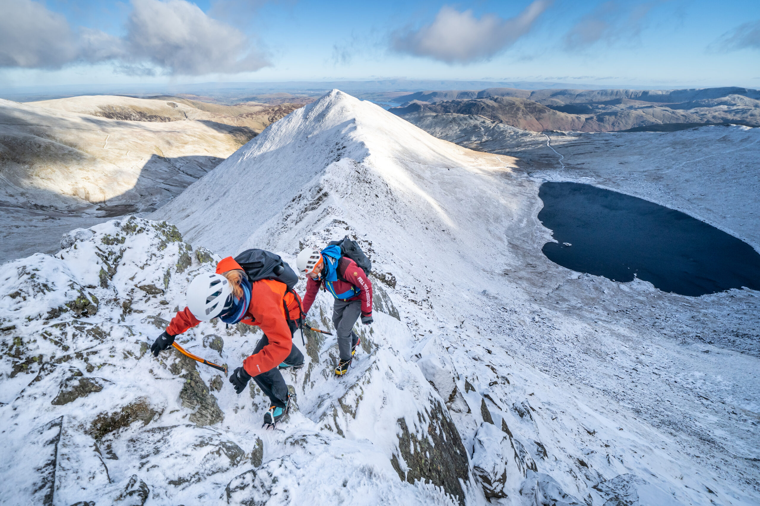
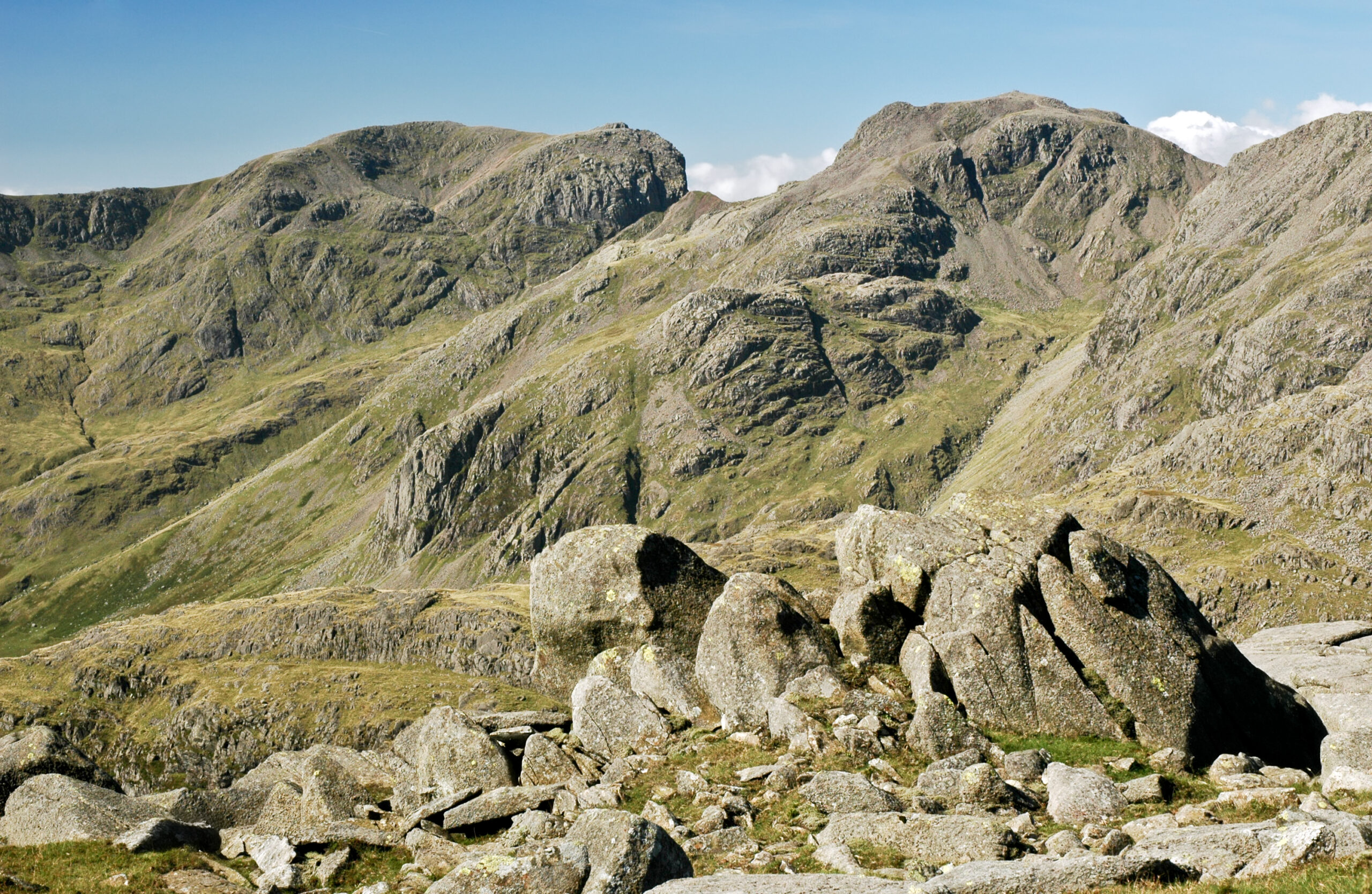
Scafell Pike is a popular, but challenging hike. Visitors to Scafell Pike must be prepared and have significant mountaineering experience. Our volunteer mountain rescue teams attend some preventable rescue call-outs to the Scafell range, particularly Piers Gill from the corridor route to Scafell Pike.