Overview of each section
Each of the three sections is being funded and delivered separately, due to funding timelines.
- Section 1: K2T zig zag to Burns Road
- Section 2 : Burns Road to Station Road
- Section 3: Station Road to Newsham Road
Section 1 K2T zig zag to Burns Road
- Funded by: National Highways. Date of delivery TBC
- Designation: To be confirmed following consultation
- Proposed specification to match existing K2T, National Highways standards for cycleway (Tarmac Surfacing)
- Burns Road crossing at grade (road level) to be approved by Westmorland and Furness Council, alongside parking and traffic management to improve safety
- Planning permission will be required for this part of the route and an application will be submitted
Section 2: Burns Road to Station Road
- Funded by: DLUHC Borderlands Inclusive Growth Deal. Date of delivery TBC.
- Designation: To be confirmed following consultation
- Specification: Crushed stone surface
- Ramp from Burns Road to be regraded to improve accessibility
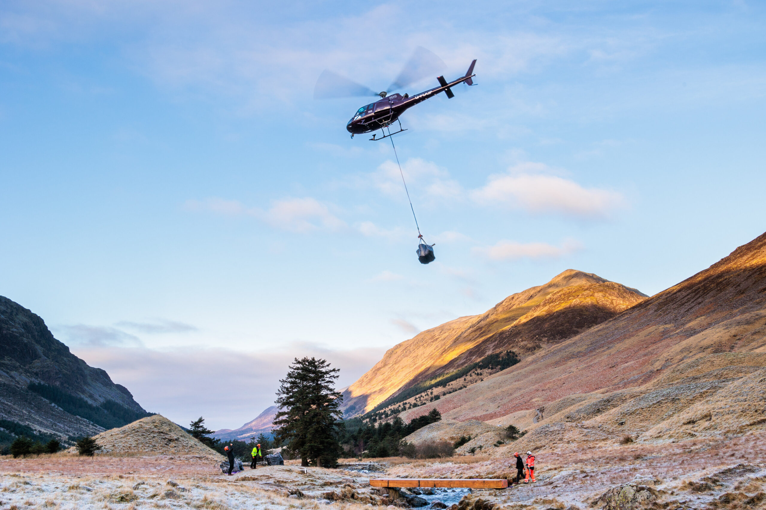
- Glenderamackin Bridge to be repaired and refurbished
- New foot and cycle bridge crossing at Station Road to meet current Highway Standards (no additional height restrictions to vehicles on station road) and be approved by Cumberland Council, providing a safe crossing for all users
- Planning permission will be required for this part of the route and an application has been submitted
Section 3: Station Road to Newsham Road
Funded by DEFRA Farming in Protected Landscapes. The surfacing of this section is now complete.
- Designation: Public or Permitted Bridleway
- Specification: Crushed stone surface
- Minor works to improve drainage and a more accessible surface
- Tree planting to improve habitat for wildlife, e.g. red squirrels, birds
- Fencing to protect stock and to improve accessibility by reducing the need for gates on the route
- Temporary connection to minor road to Setmabanning, when complete will connect with phase 2 via Station Road bridge offering direct link
- This section only saw minor improvements which do not require planning consent.
Frequently asked questions
This is dependent on funding, community response to the consultation and relevant permissions.
A lot of people do use the existing paths on sections 2 and 3, but at present most of the route is not a public right of way so are not maintained, if the river bridge or other parts became damaged the route would have to close. We want to enable people to continue to use these much-loved paths in the future. These routes are also not accessible to many disabled people, are wet in places which becomes icy in winter and involve a steep ramp to a difficult road crossing at Station Road. The underpass section (section 1) could be replaced by the existing public footpath on the other side of the river, but this is on a steep bank subject to river erosion so its long term resilience is doubtful and any works to improve gradients would require tree felling and substantial engineering work on the river bank, which we want to avoid for environmental reasons.
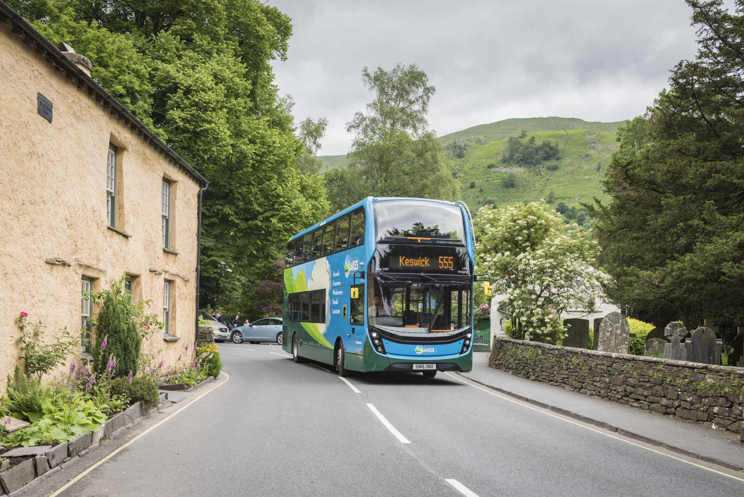
The new routes are designed to link to existing public parking at Threlkeld Rec Field and the Northern Office that does have capacity, therefore alleviating some of the parking impacts in the village. We will work with communities to ensure that parking on existing roads is strongly discouraged.
This link will provide access to Threlkeld Quarry and Mining Museum, Setmabanning camping and caravan site and farm shop, without creating traffic, benefitting these local businesses. Residents and visitors will have more options to cycle or walk safely, reducing traffic in the quarry. The businesses in Threlkeld Village will continue to be popular with walkers using the main trail which will continue to be promoted as the Keswick to Threlkeld Trail so remain the most popular activity.
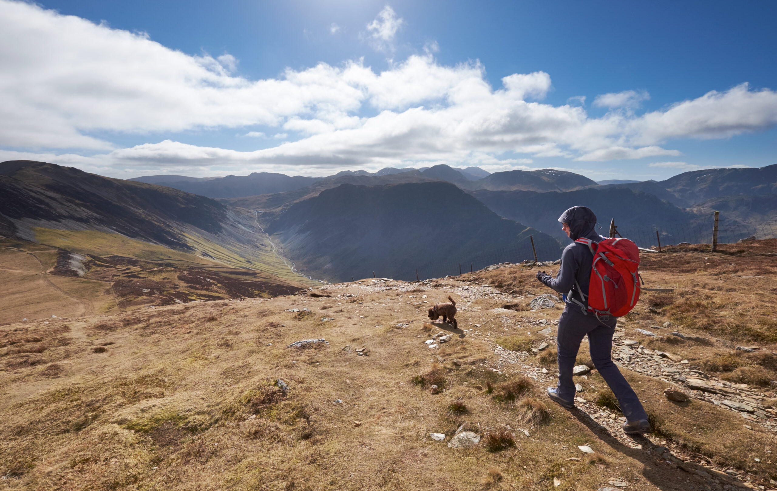
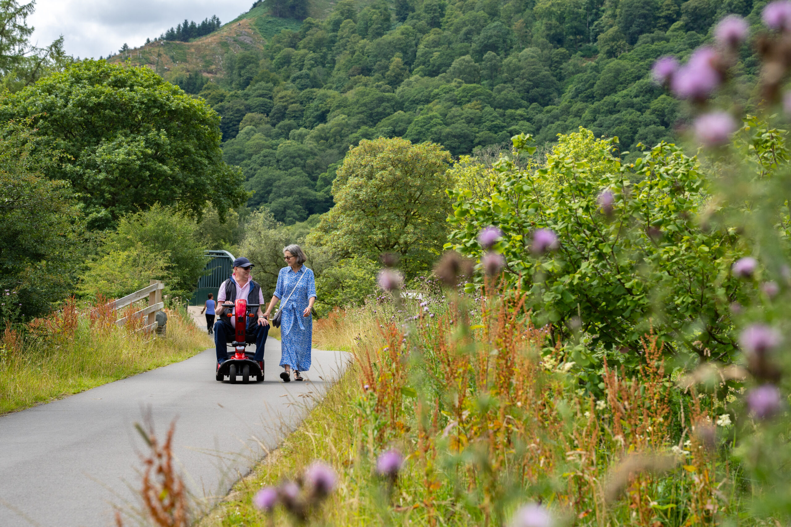
The trail will be suitable for disabled people, although section 2 and 3 are proposed to be a crushed stone surface so will not be accessible to all wheelchair users. All sections will be open to walkers, cyclists, families with buggies/scooters/balance bikes and dogs. The present thinking is that sections 2 and 3 will definitely be open to horse riders. Section 1 is dependent on relevant permissions, safety audit and the outcome of the consultation.
The plans have been developed to result in a net gain in biodiversity, so any surfacing and tree removal will be more than compensated by improvements in the wildlife benefit, this could include new tree planting alongside section 3 and hedge reinstatement around section 1. We will avoid tree removal wherever possible but will have to take down some dead or dying ash trees as a result of ash dieback disease and a limited number of self-seeded trees around the bridge and ramp sections. We have met with Keswick and District Red Squirrel Group about how this project can benefit Red Squirrels through safer road crossings, signage and tree planting.
There will be some carbon emissions as a result of the construction, but our figures show that these will be more than compensated by the replacement of car journeys with cycling and walking and the benefits of the habitat creation alongside the route. We will be monitoring carbon emissions.