Density
The illustration can be used to guide the built form of houses to ensure appropriate density and efficient use of land.
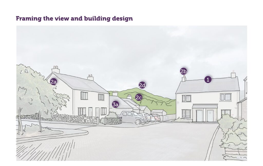
1. New housing developments should make efficient use of available land by:
1a. Minimising space reserved for road vehicles (highways, drives, parking) to a safe minimum.
1b. Increasing density around shops, services and public transport nodes.
- Making best use of space above shops and other commercial premises.
2. The densities should be adjusted in order to:
2a. Maintain the character of the area
2b. Re-use existing buildings
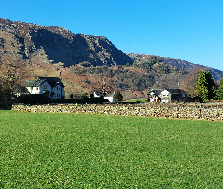
2c. Increase distances between buildings due to the sloping topography of the site.
2d. Retain or strengthen the presence of trees, hedges or other important planting.
2e. Retain or create amenity or open space that improves the overall quality of the design.
- Provide SUDS or other flood prevention / attenuation measures.
- Provide solar gain.
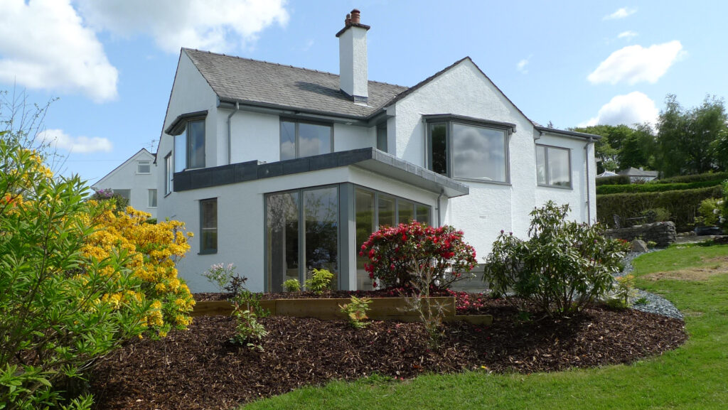
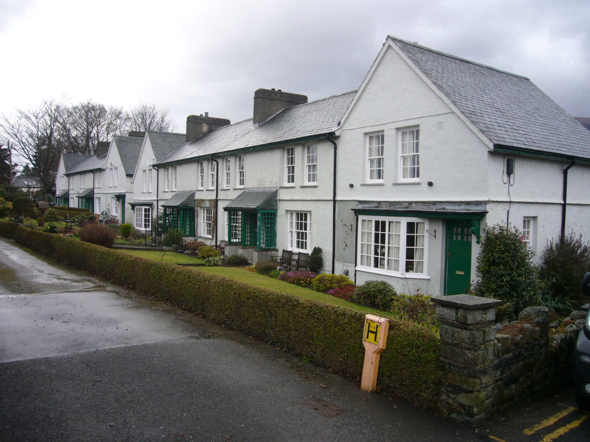
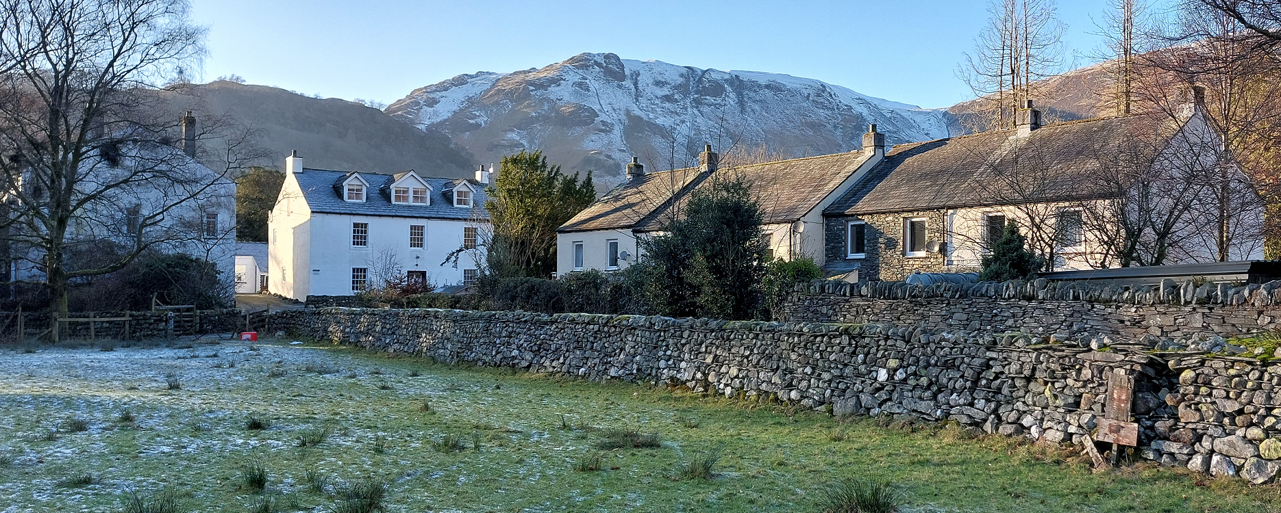
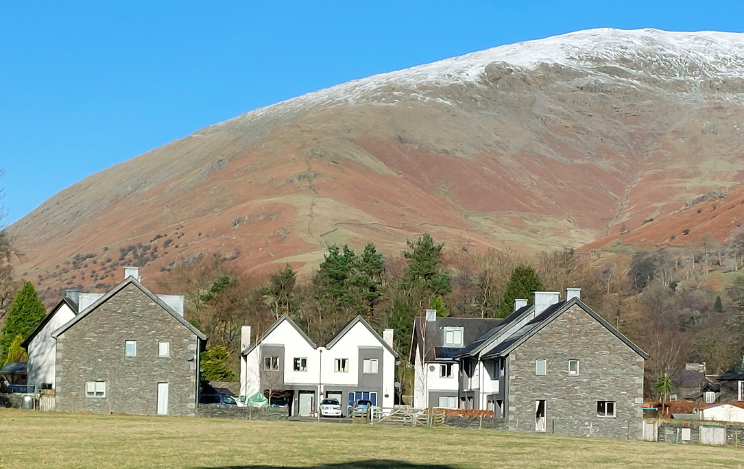
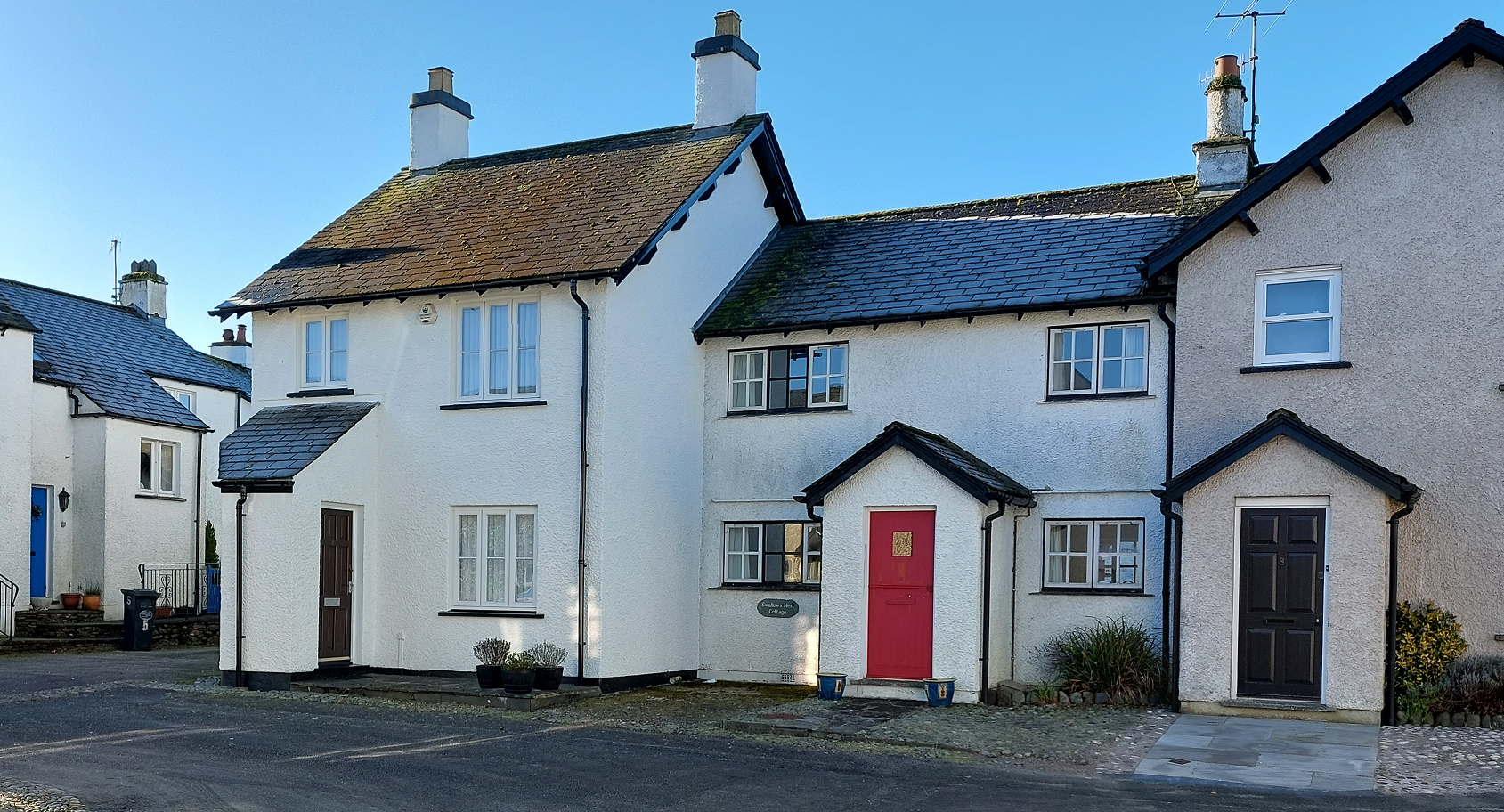
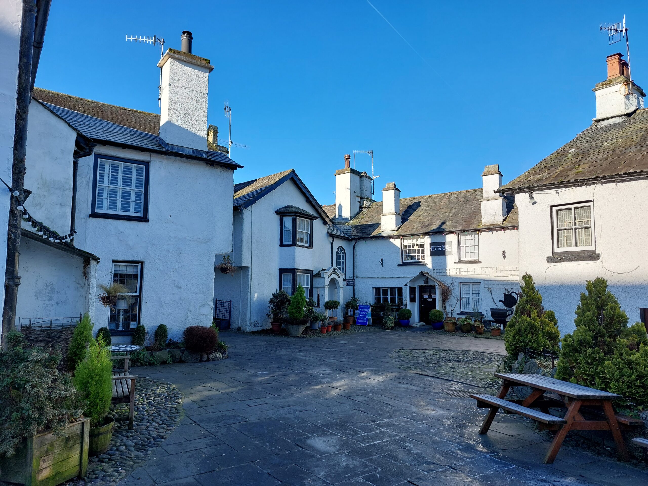
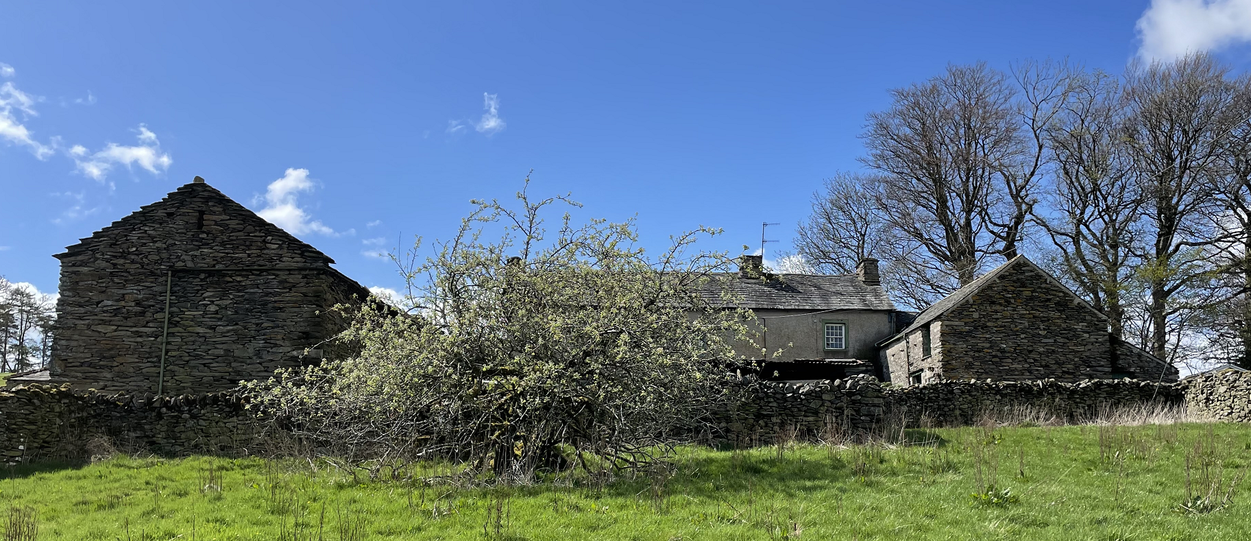
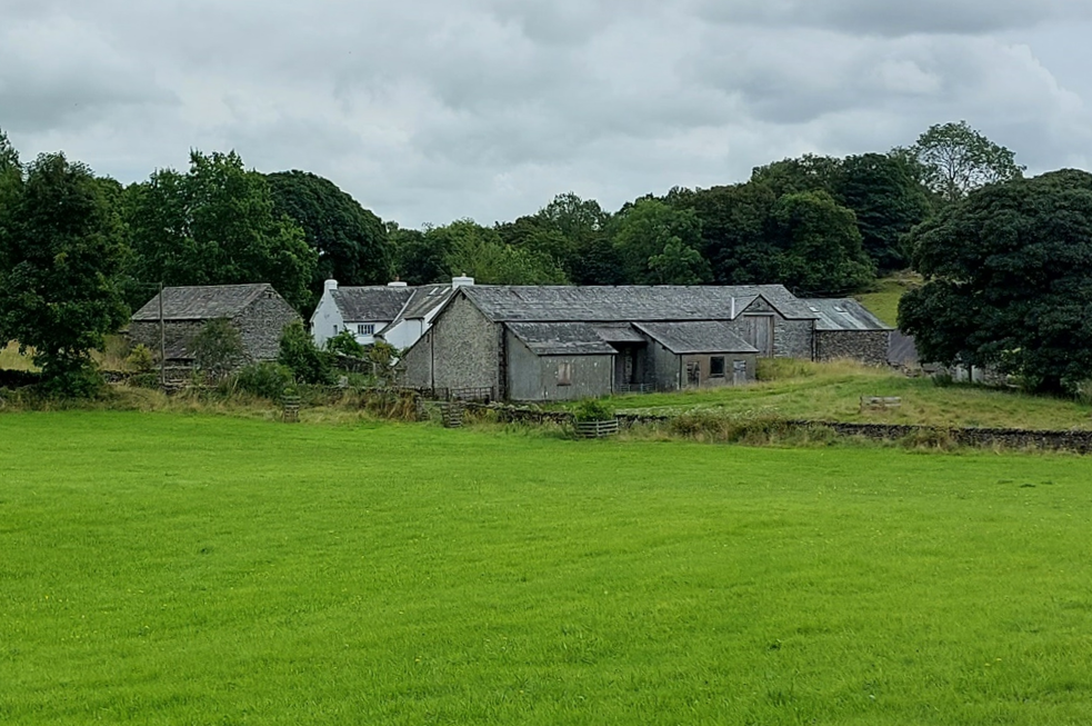
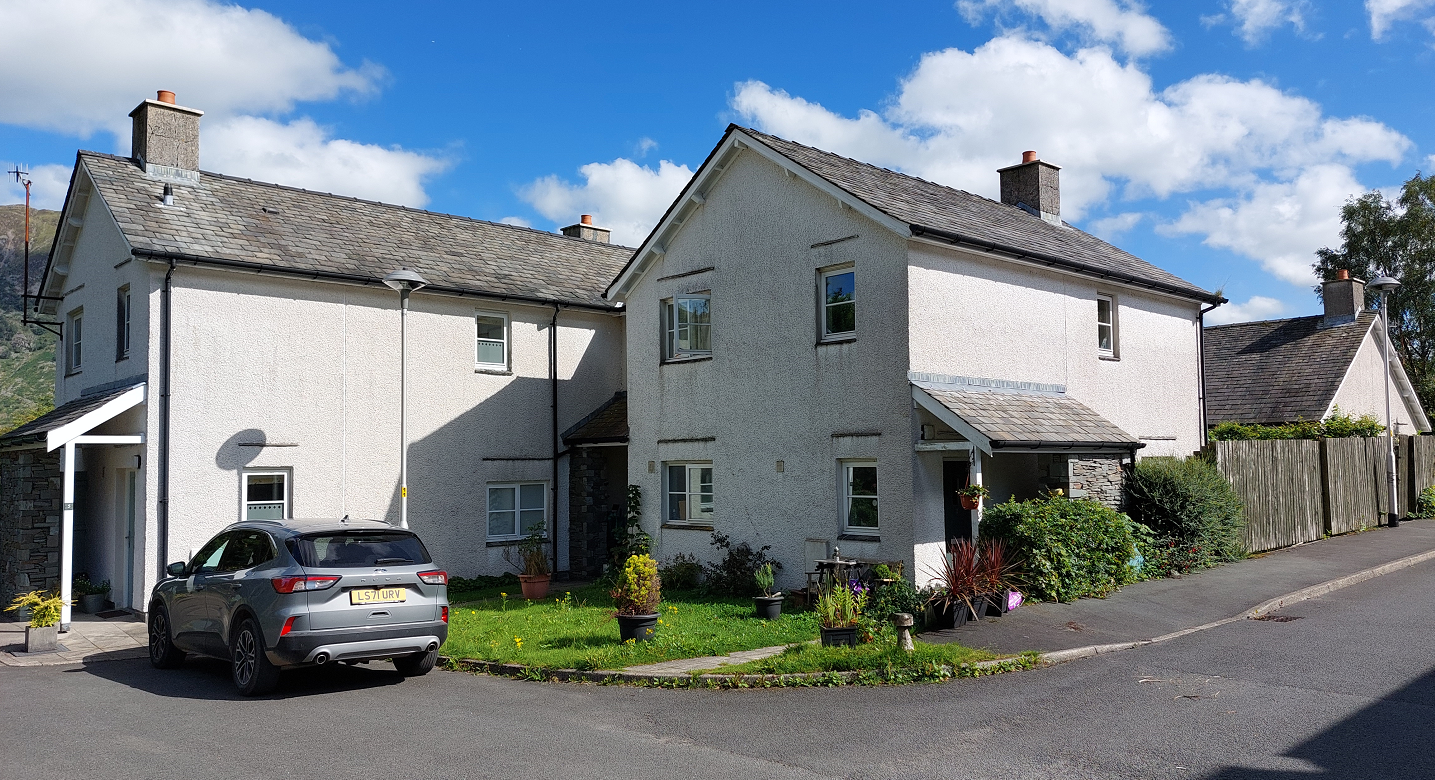
3. The context and character of the site must inform whether new buildings join, and the design of joined dwellings. For example, in response to composed or uniform terraces, or irregular organically developed terraces, detached or semi-detached villas or farmsteads. These can be divided to form smaller dwellings.
Efficient land use
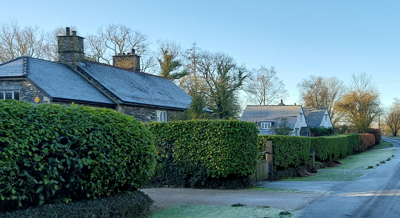
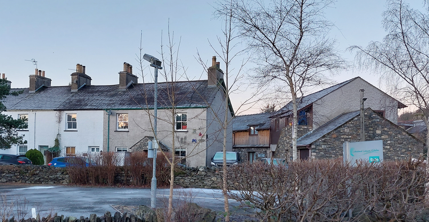
The prevailing density and character of the site should be identified through the site context assessment and used to inform the design of new development.
The context assessment should inform the density of a proposed development. However, higher densities will be considered where:
- There is good access to local shops and services
- There is good public transport and active travel infrastructure
- It enables the delivery of non-market housing such as affordable or social housing
- It enables the sustainable re-use of historic buildings and site layouts
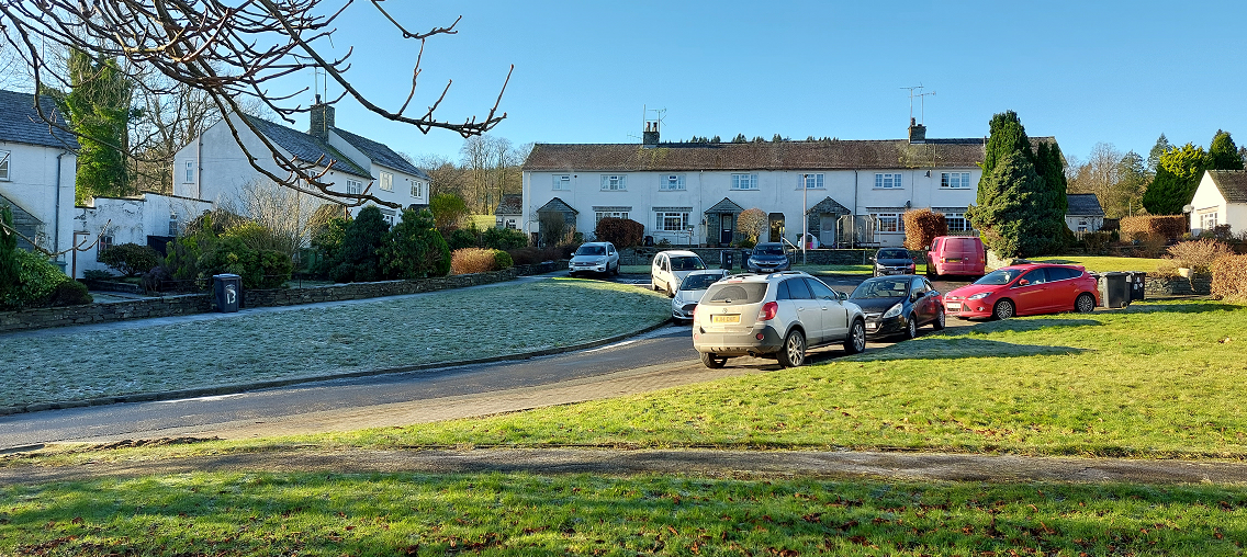
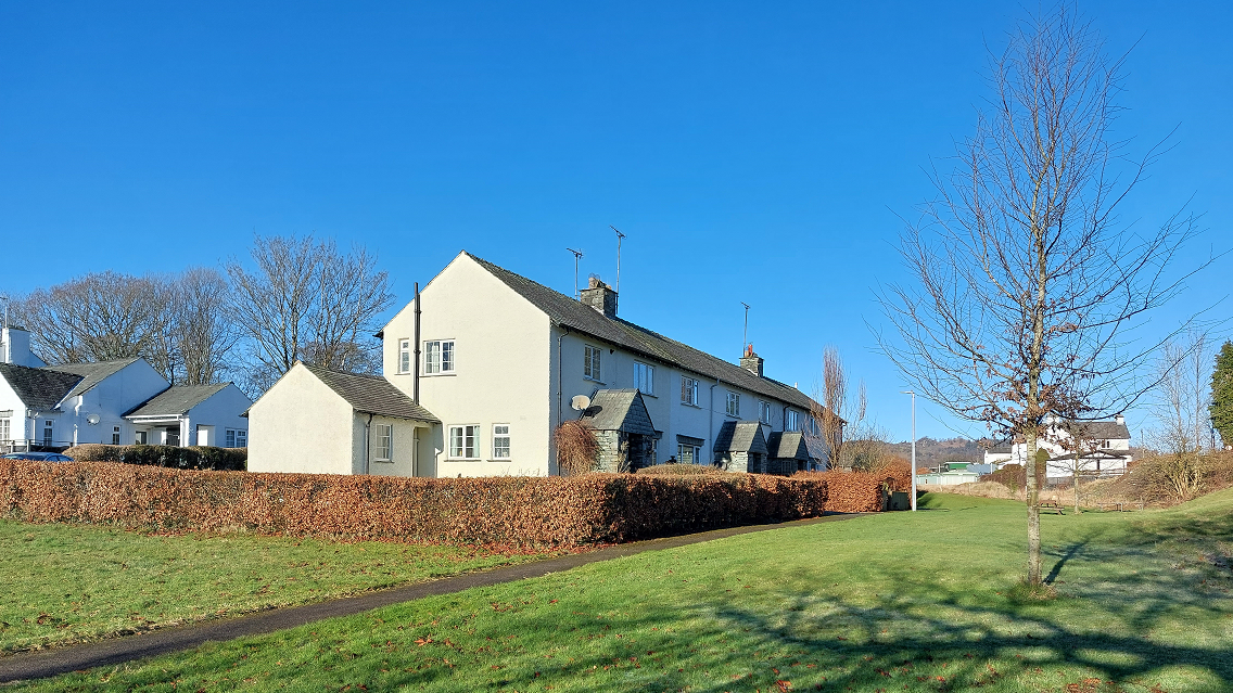
Whether buildings join
The context and character of the site must inform whether new buildings join, and the form and design of joined dwellings. For example, in response to composed or uniform terraces, or irregular organically developed terraces, detached or semi-detached villas or farmsteads. These can be divided to form smaller dwellings.
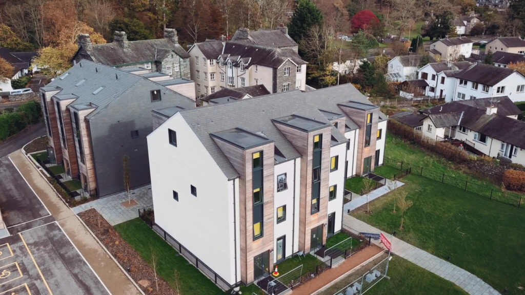
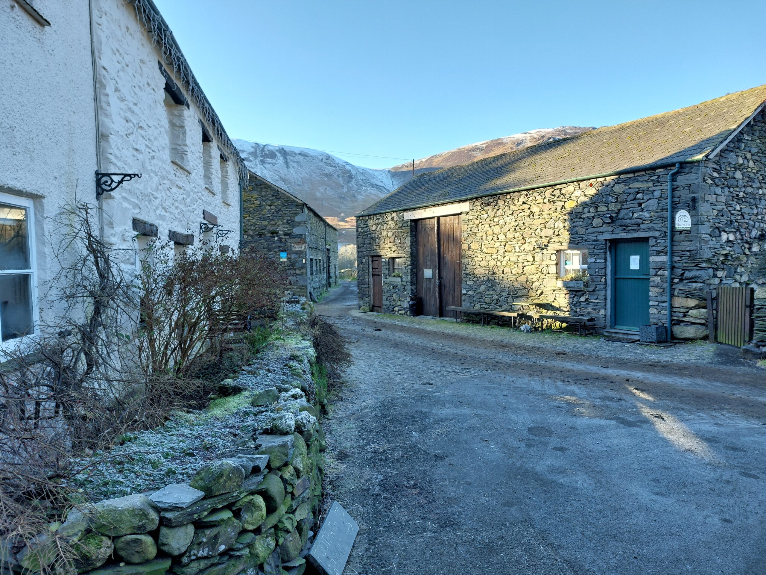
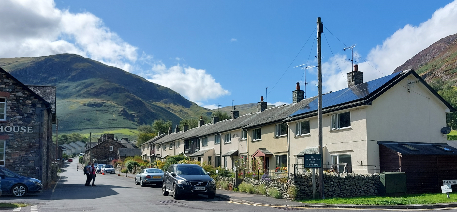
In terms of embodied energy, the joining of dwellings or buildings uses fewer resources in terms of structures, walling and facing materials. Terraced dwellings use less embodied energy to build than semi-detached houses of the same size, and semi-detached houses require fewer resources to build than detached house of the same size. The dwelling types that are more efficient in terms of their embodied energy and the efficiency of construction also make efficient use of land as required by Policy 02 Spatial Strategy. Consequently, joining houses in rows or clusters is encouraged as it is more resource and land efficient. Joining buildings also reflects the vernacular of the Lake District: neighbouring houses often share load-bearing walls, as do houses and their outbuildings and farmhouses and farm buildings.

Building types and forms
Code
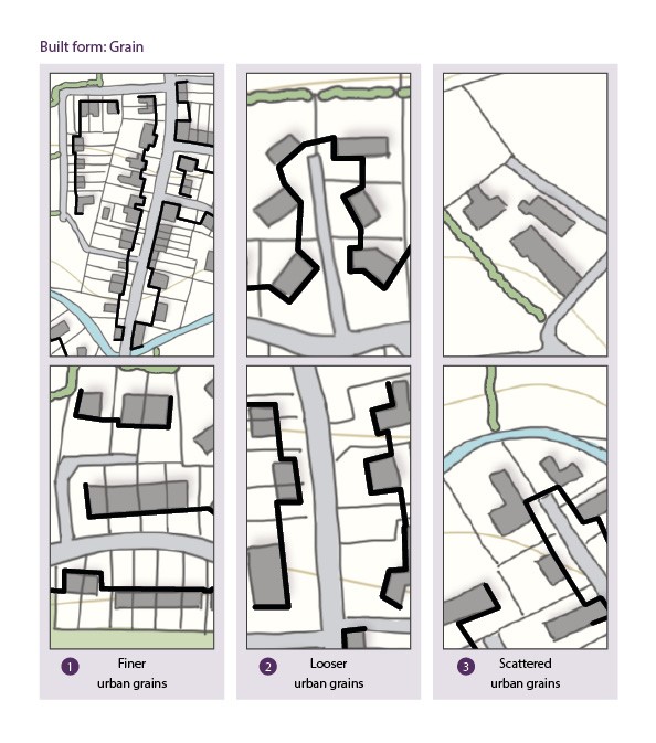
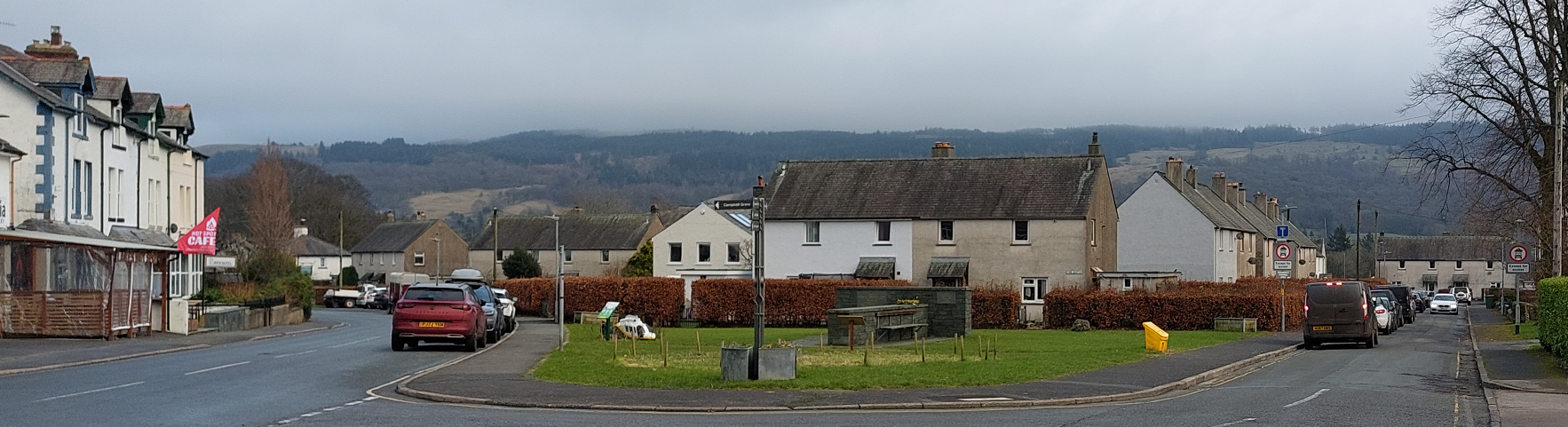
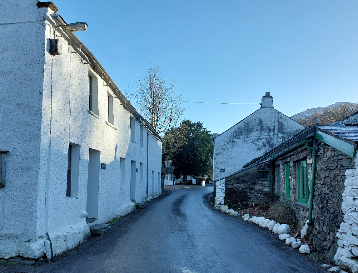
Applicants must identify the urban grain of the area surrounding their site.
Urban grain is the street pattern, block size and building pattern in a settlement.
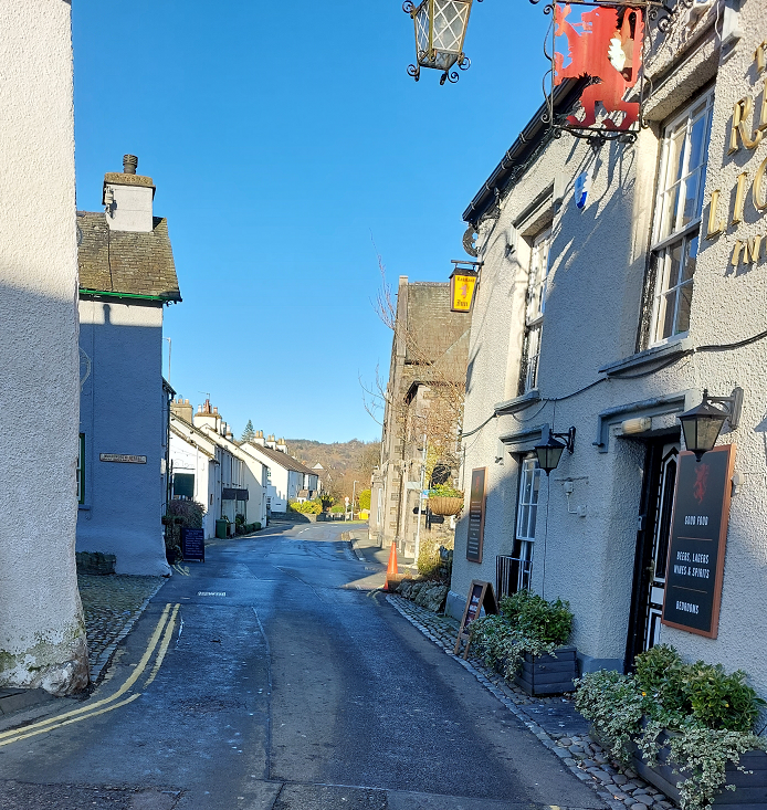
The grain of an area will vary depending on the type of settlement, location within the settlement and historic origins. Traditional street patterns should be maintained and reinforced by new development.
New development should ‘knit into’ the existing urban grain by respecting its character. Specifically:
- Finer urban grains of smaller building footprints and higher densities should be reserved for infill development within town centres and villages with existing fine grain.
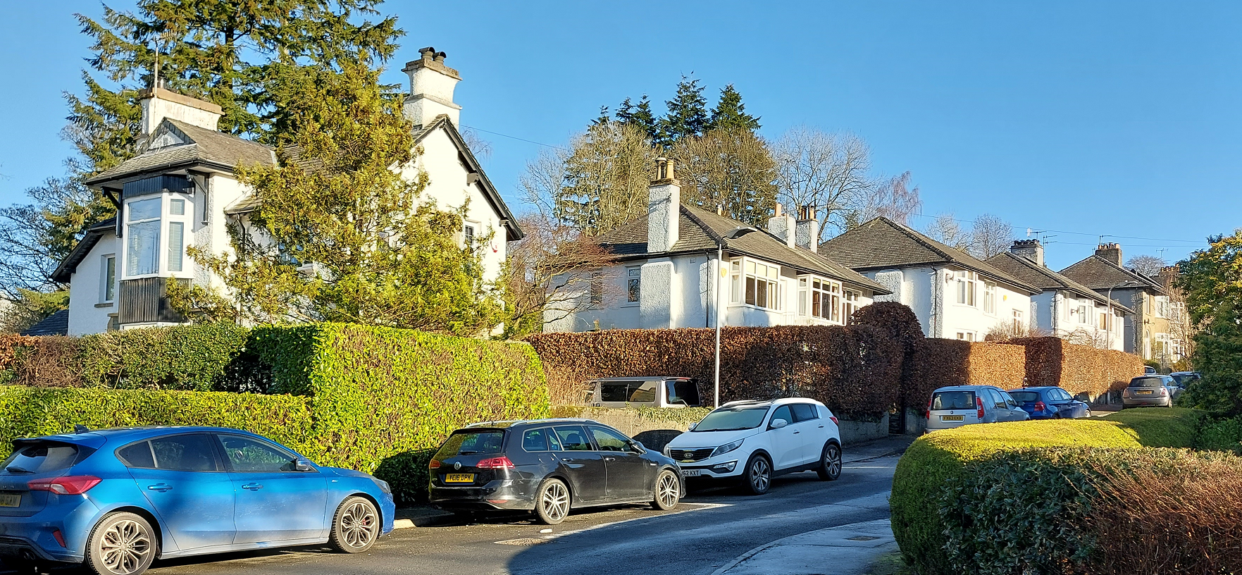
- Looser urban grains with larger gaps between dwellings should be used in suburban and settlement edge locations.
- Scattered urban grains should be used where large plots and relaxed patterns persist.
Exceptions: Coarser grains with larger plots and large footprint dwellings will not deliver in terms of housing numbers and will not provide the same variety and visual interest that a larger number of smaller buildings (a finer grain) will create. Some looser grain suburban characteristics, such as winding cul-de-sacs, will erode the distinctive grain of urban and rural areas.
Where possible, new development should repair the prevailing urban grain where it has been lost, for example by filling in gap sites or replacing out of scale buildings and plots with finer grain development.
Additional guidance of identifying building types and forms can be found in the National Design Guide. Building for a Healthy Life provides guidance on how to apply best practice when designing various urban grains.


Active frontage
Code
To achieve the safety and security benefits of active frontages new development must incorporate: windows to principal rooms such as living rooms or bedrooms or secondary rooms such as kitchens, studies or home offices facing the street and the principal approach to the building. Main entrances to buildings that face the street or principal approach.
Accessibility
Code
Applications for new dwellings, including conversions and adaptations, must demonstrate that the practical guidance in Part M Volume 1 of the Building Regulations has informed the design.
Housing for all
Where there is a mix of housing ownership and tenures in a development, there should be no visual distinction between the tenures by virtue of their appearance or location on the site.
Mix of uses
In mixed use developments, the function and use of each element should be clear from its design, including which areas are public and private.
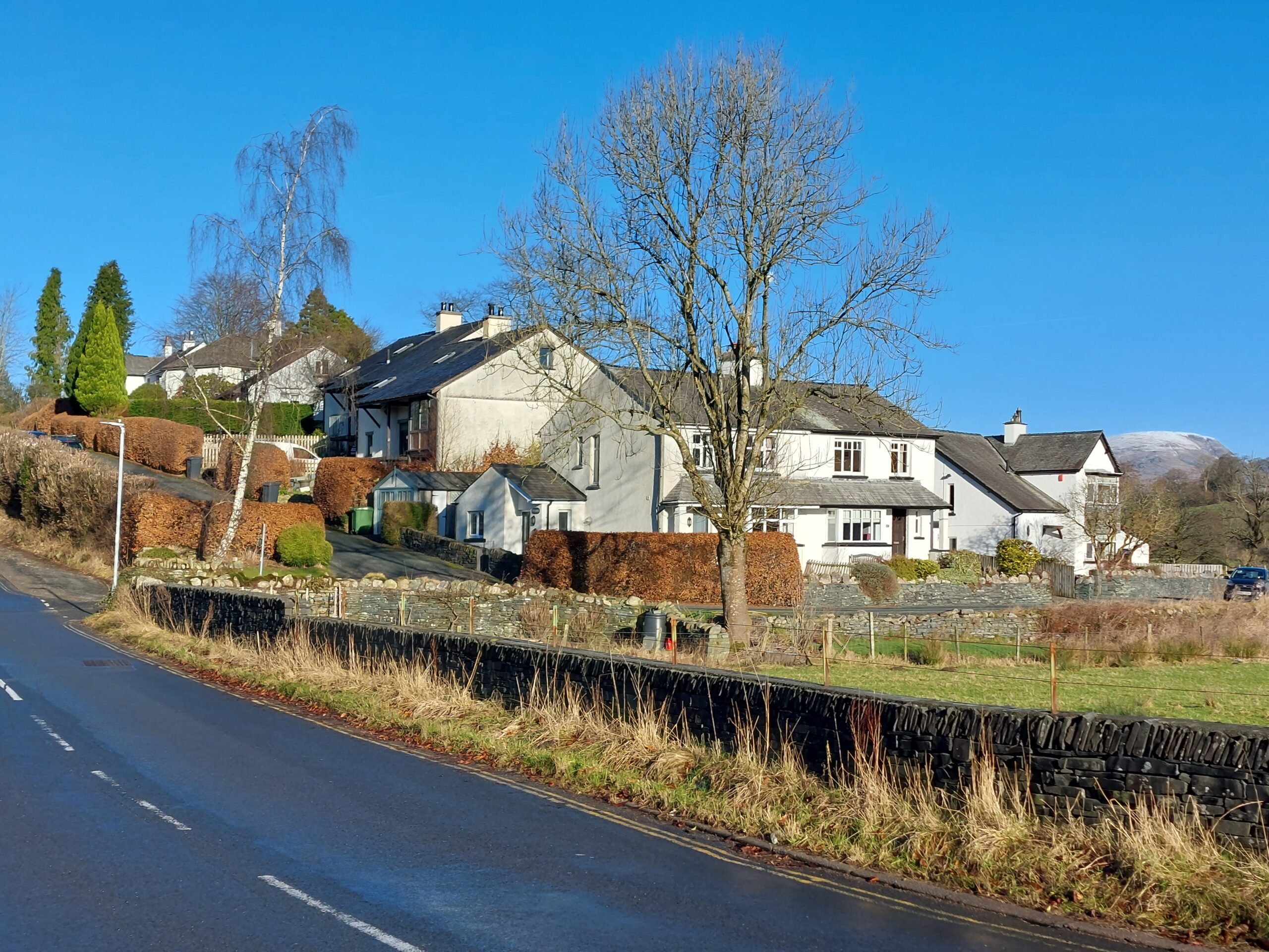
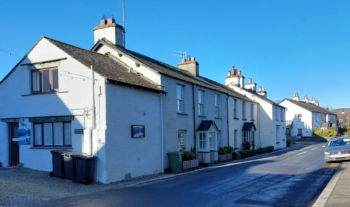
Building line
Code
Based on the site context and historic environment assessments:
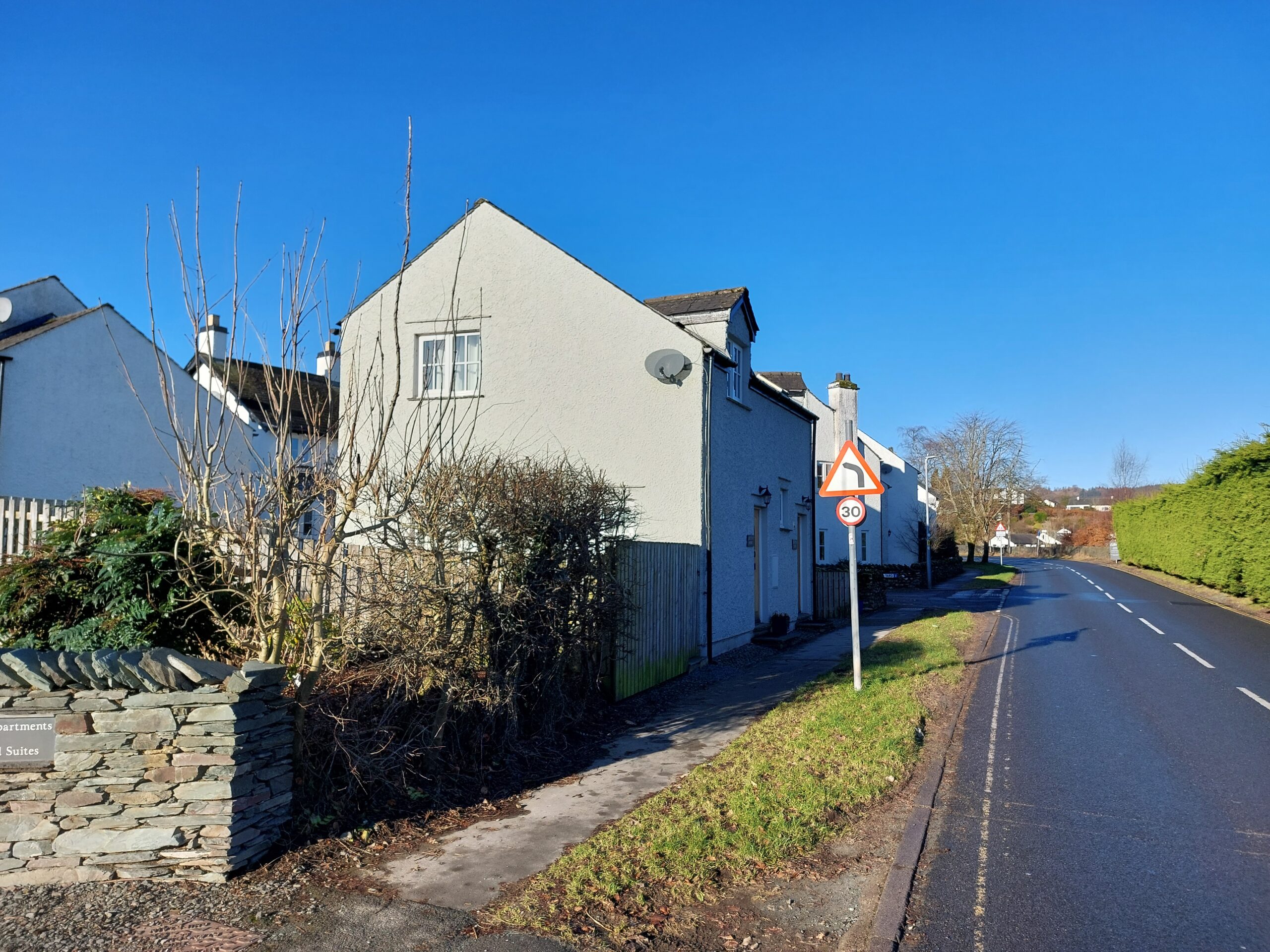
- New development should reinforce the level of enclosure along the existing space or street.
- The set-back distance(s) of new development must respond positively to the uniformity or variance of the building line that it forms part of.
- New development must reinforce the prevailing degree to which plot widths are occupied by buildings in the site’s context.
Where new set-back zones are created, these must consist of front gardens and vegetation that can help to soften new development, as opposed to hard landscaping or spaces for car parking.
Unless the established character of set back zones is open plan (i.e., lacking front boundaries) set back zones should be enclosed by low boundary features no more than one metre in height. The sensitive integration of cycle parking and bin storage can also positively contribute towards the character of the set back zone.
Exceptions can be applied to deviate from the common building line and level of enclosure where there is good reason to align with best practice design, for example:
- Where a mature tree interrupts the existing building line;
- Where a new public space is created;
- Where emphasis of marker buildings is desired at key intersections and gateways;
- Where the setting of a listed or locally important building should be preserved; or
- Where a key view is to be framed and celebrated.


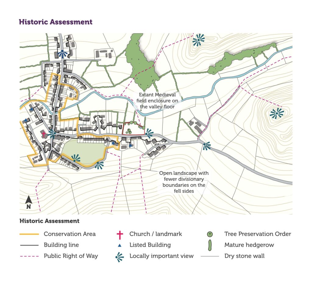
Heritage assets
Code
New development must consider potential impacts on heritage assets (both designated and non-designated). This should be conducted early in the development process to inform overall design and identify possible constraints.
The heritage, design and access statement must clearly demonstrate an understanding of the significance and setting of any heritage assets affected by the proposal. Potential impacts (both direct and indirect) on that significance must be reviewed.
The degree of detail and complexity of this assessment will depend on the size of the development and sensitivity of the site. However, it should be suitable to enable an informed planning decision and not be simply a list of sites and features.
The assessment must include:
- Designated heritage assets: Scheduled Monuments, Listed Buildings, Conservation Areas, Registered Parks and Gardens, etc. (details can be found on the National Heritage List for England, the Local Plan interactive map and the World Heritage Site website),
- Non-designated heritage assets – properties on the local list, archaeological sites, boundaries, historic street furniture, milestones, etc. (details can be found on the Historic Environment Record (HER))
- The potential for any heritage assets not yet recorded, included below ground archaeology
- Discussion on how the development will affect the setting of a heritage asset must be included. This goes beyond a consideration of purely visual impacts to look at how change effects the way an asset is understood and experienced e.g., impact of increased traffic on the peace and quiet of a churchyard, or the design of a farm conversion on the agricultural identity of a farmstead or hamlet.
See our guidance on Heritage Assessment and Information Requirements (2018) and Historic England’s Statements of Heritage Significance guidance for further information