Tarn Hows
![]()
This is a beautiful circular walk around this picturesque location.
OS Explorer Map OL7
Route for some. A circular walk. 3km distance.
MWS Grade
For some
Duration
1.5 hours
Distance
3.29km / 2.04miles
Route
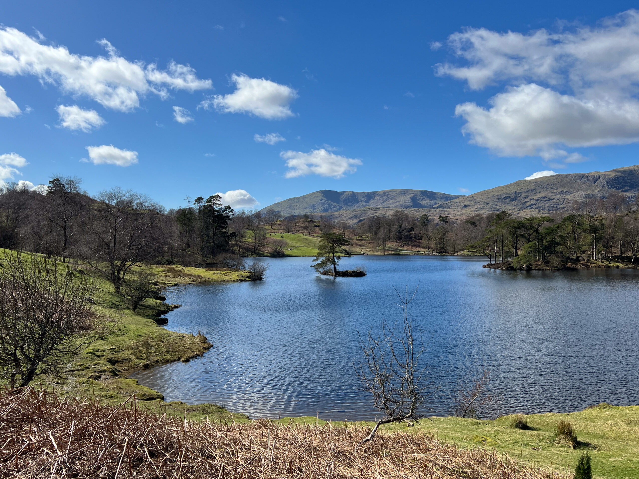
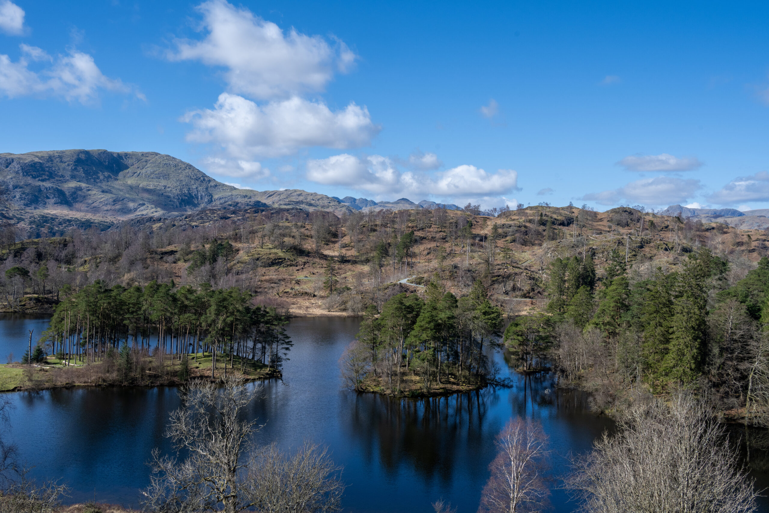
Tarn Hows is a man-made, stunning beauty spot. In Victorian times, a beck was dammed, creating the tarns you see today. The Hows are the surrounding small, wooded hills.
From the main car park, turn right and take the obvious track down towards the tarn. The circuit can be done either clockwise or anti-clockwise. The path surface is made up of smooth, compact stone. However, there are some short rougher sections and sections with gradients steeper than 1:10 (up to 1:5 in places).
The scenery is stunning and there are plenty of benches and rest places to take it all in. Look over to the Coniston hills and Langdale Pikes, which form the backdrop to this spectacular corner of the Lake District.
The former short linear walk above the tarns is no longer a Miles without Stiles route as it does not meet our minimum standards. However, there are two blue badge parking spaces with an accessible picnic bench at the top location, which give superb view over Tarn Hows before you descend to main car park and toilets.
Please note that mobility scooters must be class 2 or 3 on the route.
Download the route map for Miles Without Stiles 13: Tarn Hows
Details
Start point:
The main car park.
Postcode: LA22 0PW
Grid reference: SD 327996
W3W: ///echo.refreshed.limits
Facilities:
Toilets at the main car park and food and ice cream van are usually in the main car park, especially in the summer. An all-terrain mobility scooter is available to use free of charge – to book call the National Trust on 07919 111620.
Getting there:
Bus: The nearest bus stop to the start point is Hawkshead Hill, 1.4km from the start of this walk. It is served by Stagecoach service 505 between Ambleside, Hawkshead and Coniston.
Car: B5286 from Ambleside to Hawkshead, turn right up Hawkshead Hill and follow signs for Tarn Hows.