Lake District geology
Skiddaw Group
The Skiddaw Group are the oldest rocks in the Lake District. They were formed as black muds and sands settling on the seabed about 500 million years ago. They have since been raised up and crumpled and squeezed. These rocks are found mainly in the north of the National Park and the mountains they form are mostly smooth, though many streams have cut deep gorges.
Borrowdale Volcanic Group
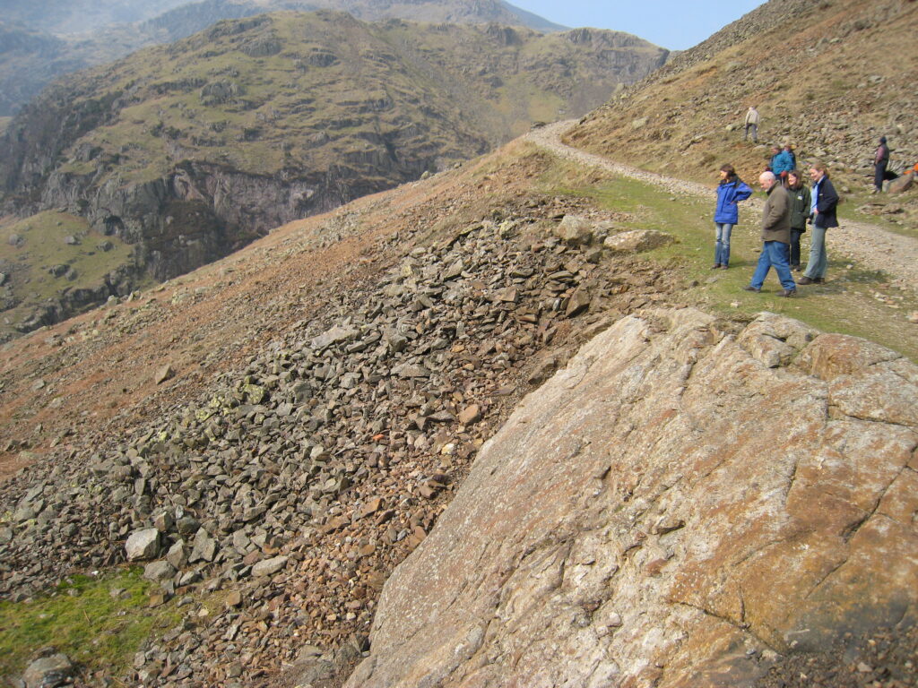
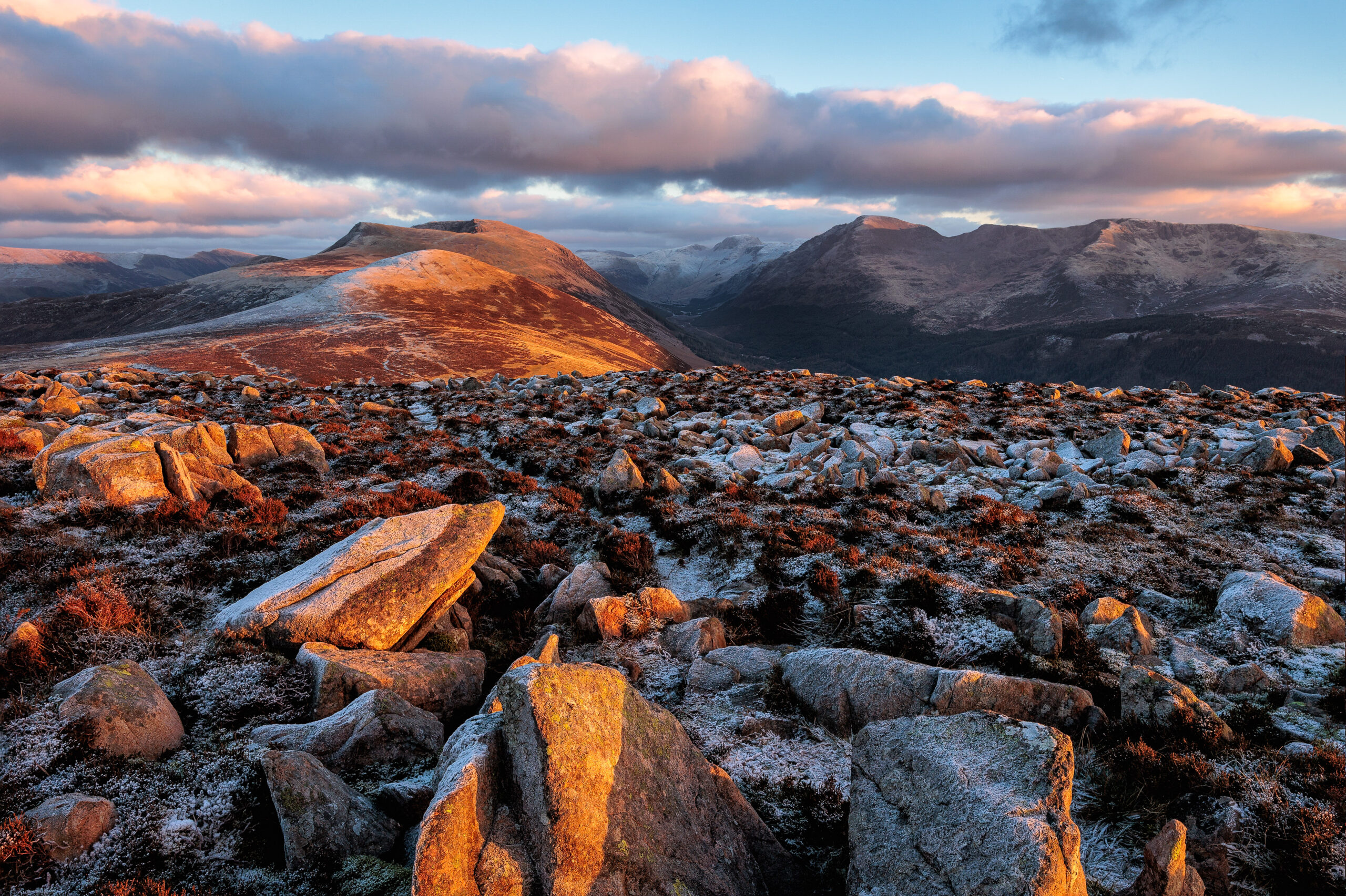
Found in the central Lake District, the ‘Borrowdale Volcanics’ are very hard lavas and ashes formed in catastrophic eruptions about 450 million years ago. They make up the highest and craggiest mountains: Scafell, Helvellyn and the Langdale Pikes.
These peaks are not the remains of the original volcanoes – they are the harder volcanic rocks that have withstood erosion.
Windermere Group
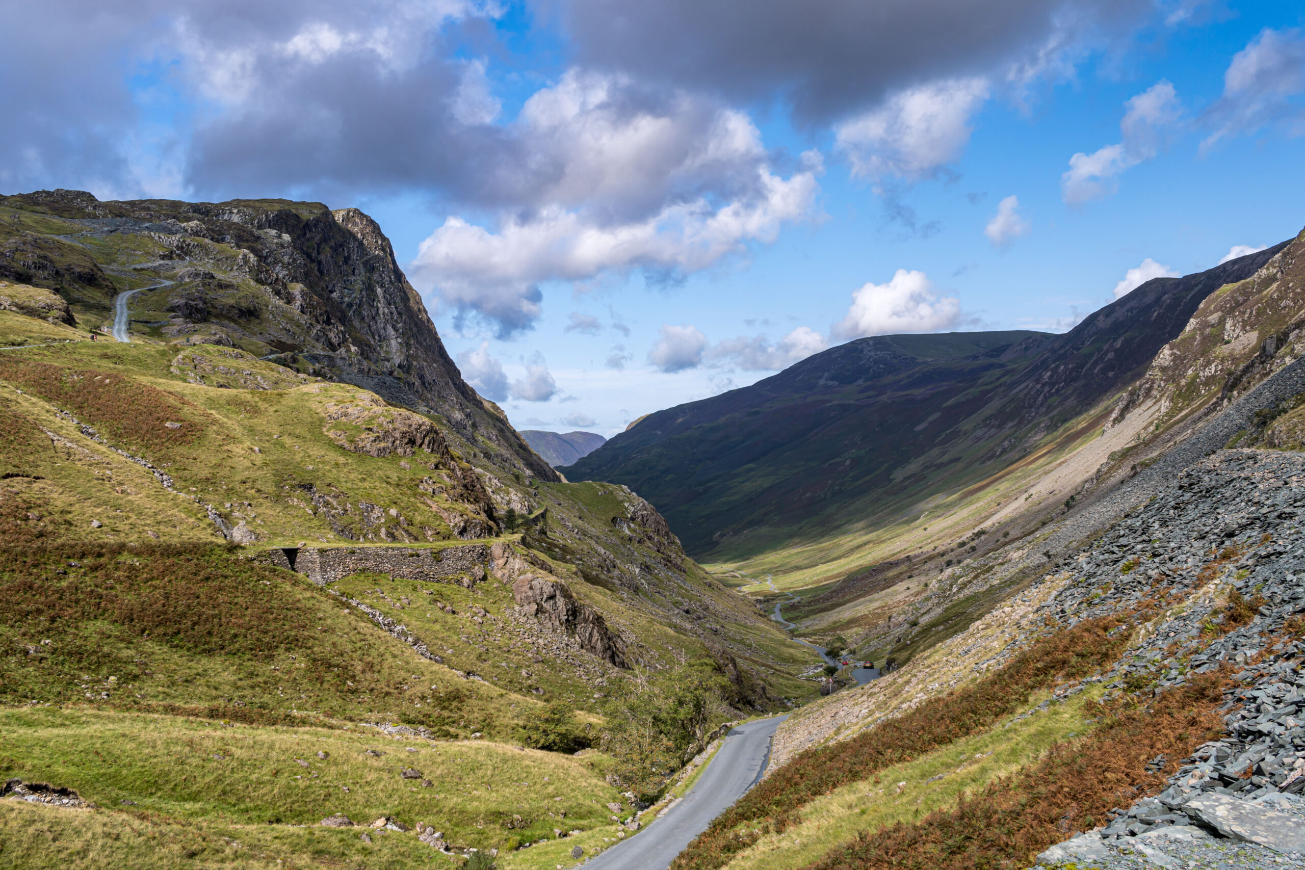
Sedimentary mudstones, sandstones, siltstones and some limestone formed in the sea about 420 million years ago. These were later folded and faulted, pushed up, and eroded down to their present levels former the gentler scenery of southern Lakeland.
Granite
Huge masses of granite formed about 400 million years ago deep below the Lake District. Erosion has revealed outcrops in Eskdale, Ennerdale and at Shap.
Limestone
320 million years ago a tropical sea covered the Lake District. The shell remains of incredible numbers of small animals formed limestone which is visible at Whitbarrow Scar and Scout Scar in the south of the National Park.
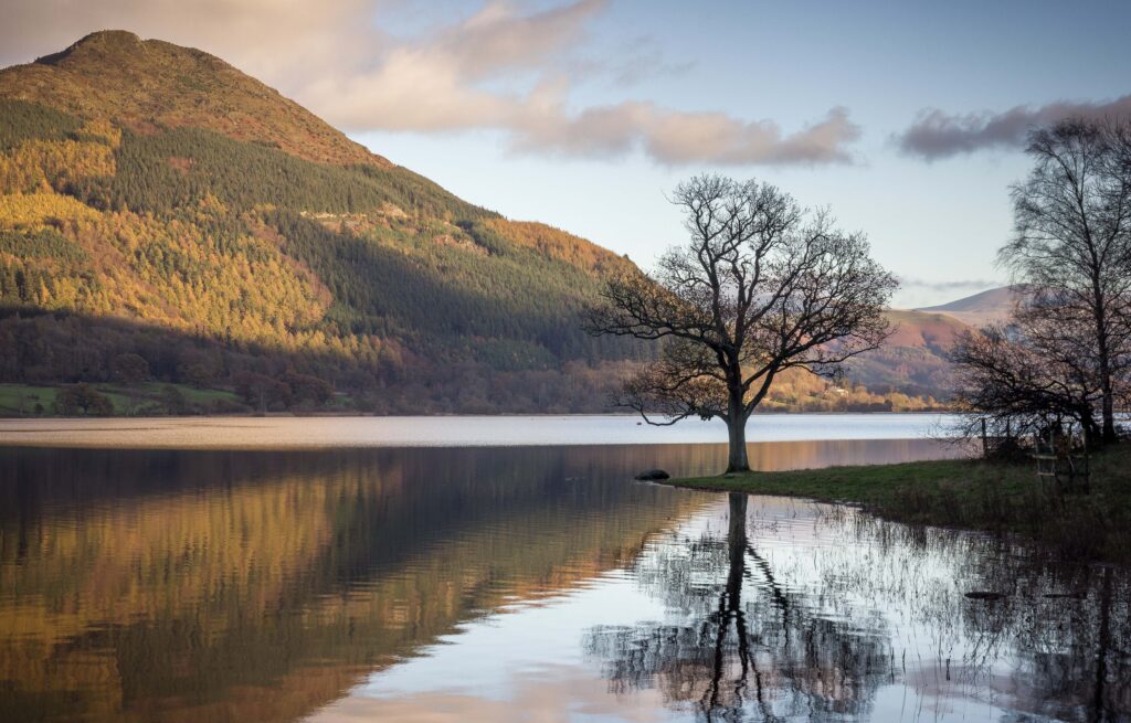
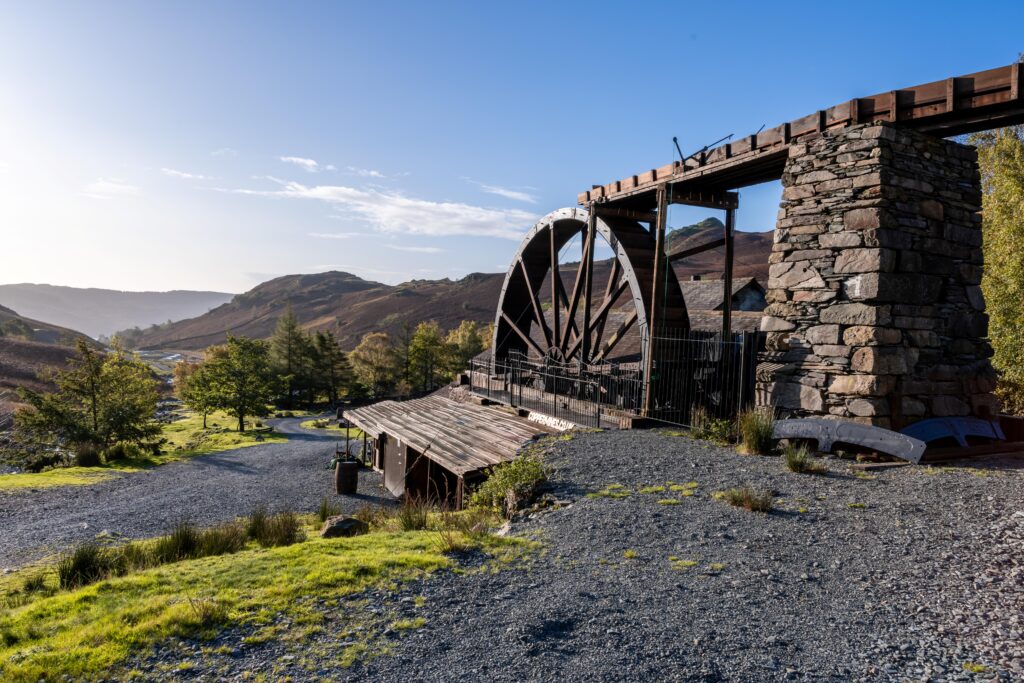
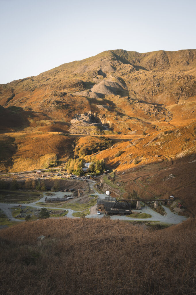
Honister
What is a catchment?
Many people have heard of “school catchment areas” meaning the areas of towns and villages from which schools recruit their pupils.
‘Catchment’ means a similar thing when referring to ecology and geography. In this context, a catchment is the area of land, including the hills and mountains, woodlands, and buildings which water drains from, before flowing into the streams, rivers, lakes and tarns.
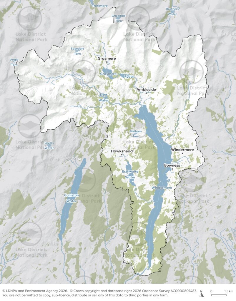
Windermere catchment
For example, the Windermere Catchment includes rivers such as the Rothay, Brathay and Troutbeck, as well as tarns and lakes including Grasmere, Rydal Water, Esthwaite and Elterwater.
The map below shows the catchment area in a light coloured area with a dark grey boundary: