Howrahs Path, Keswick to Portinscale
![]()
Route for all. 3.4km distance.
This popular trail links the bustling town of Keswick with Portinscale, via the open flat valley of the river Derwent, with magnificent views all around.
OS Explorer map OL4
MWS Grade
For many
Duration
1.5 hours
Distance
3.35km / 2.1miles
Route
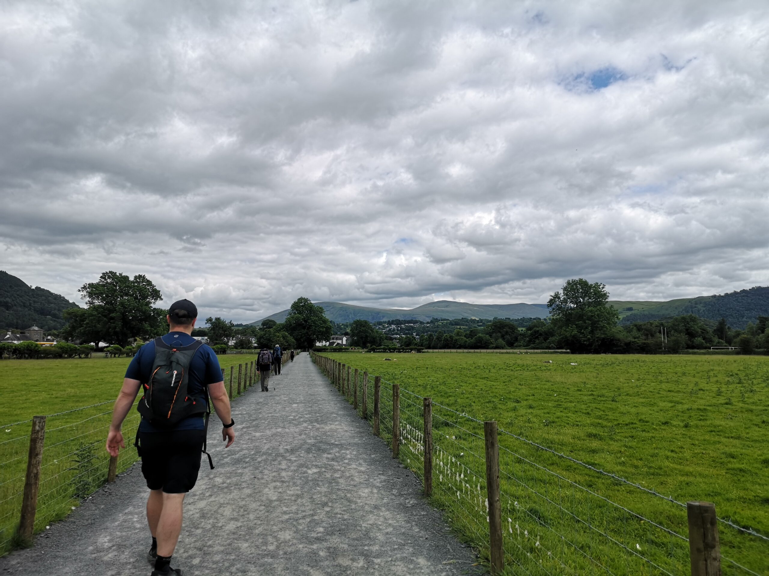
From Keswick Bus Station, outside Booths supermarket head left along Tithebarn Street to the mini roundabout where you turn left again on Main Street. Follow the pavement along this road and over the road bridge over the river Greta. Just after the bridge turn left following the blue fingerpost for the Derwentwater Walk.
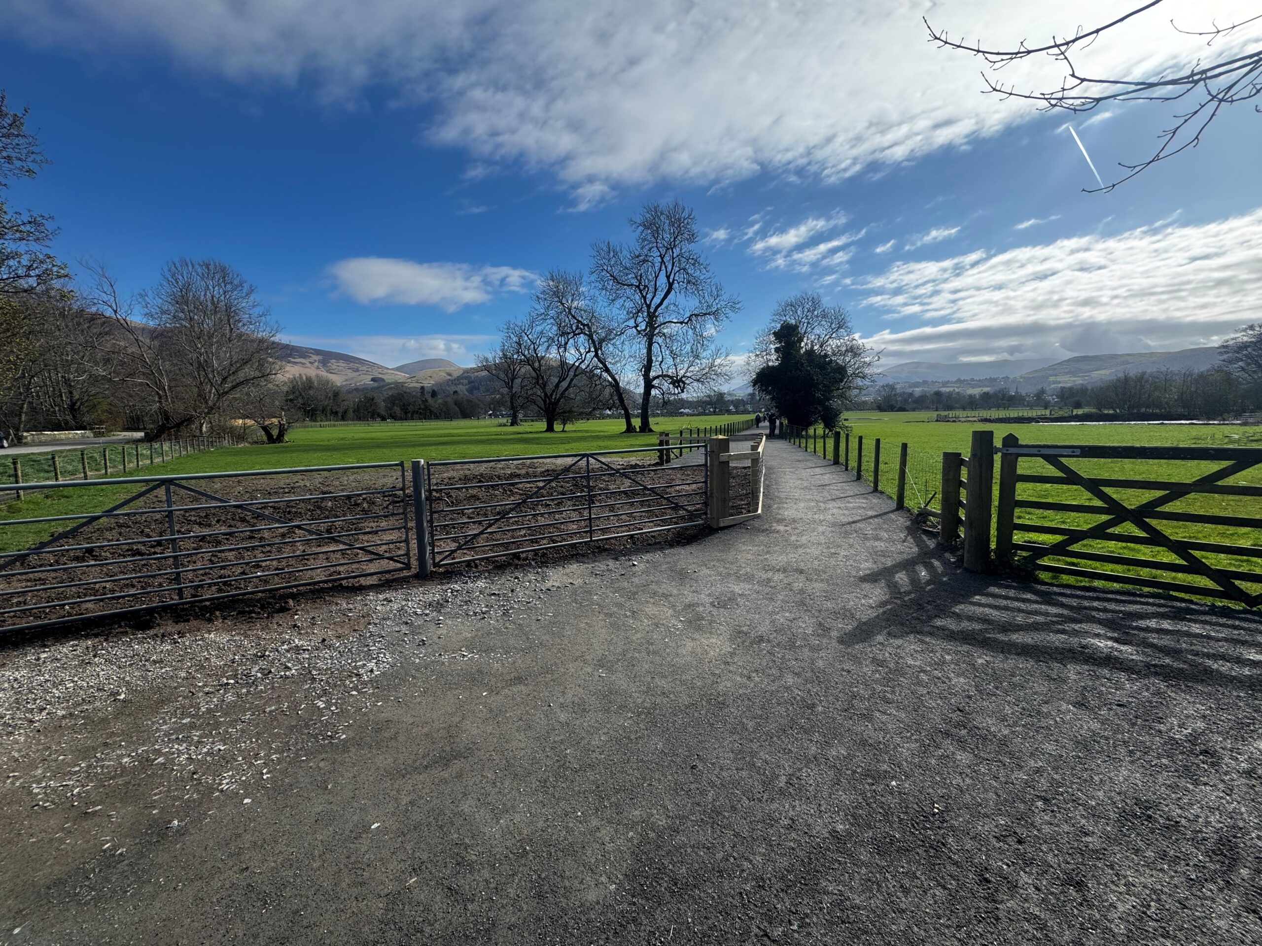
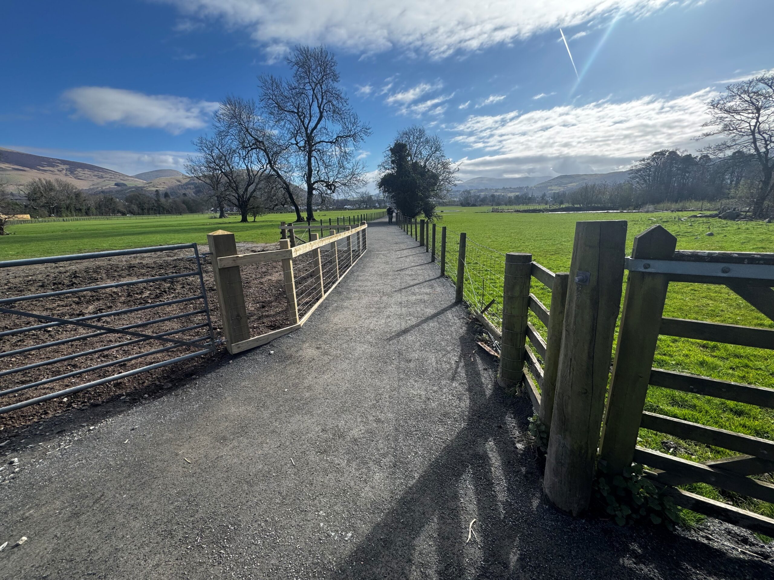
Follow this wide, level path across the fields and enjoy the tremendous views across the floodplain to the majestic mountains, including Skiddaw off to the right (north) and Catbells to the left (south).
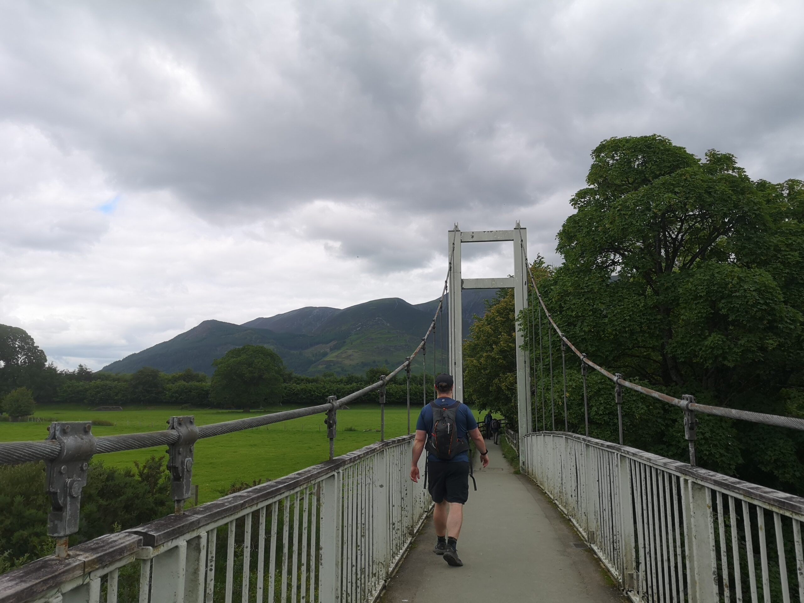
At the end of this path, turn left along the minor road and over the suspension foot bridge and up the side road to the centre of Portinscale and enjoy its shops, cafes and pubs.
Details
Start:
Keswick bus station outside Booths supermarket: CA12 5EB
Grid ref: NY 26420 23603
What3words: back.situation.acrobat
Facilities:
Accessible toilets, cafes and car parks in Keswick and Pubs, shop and tea room in Portinscale village. The Chalet tea room has a disabled customer toilet.
Getting there:
Bus stops at both ends of the route, meaning you can do this as a one-way route.
Lots of buses to Keswick. The Honister Rambler 77 / 77A stops at Portinscale eight times a day from March to October.