Grasmere Jubilee Walk
![]()
Route for all (with parts for some). 1.8km distance.
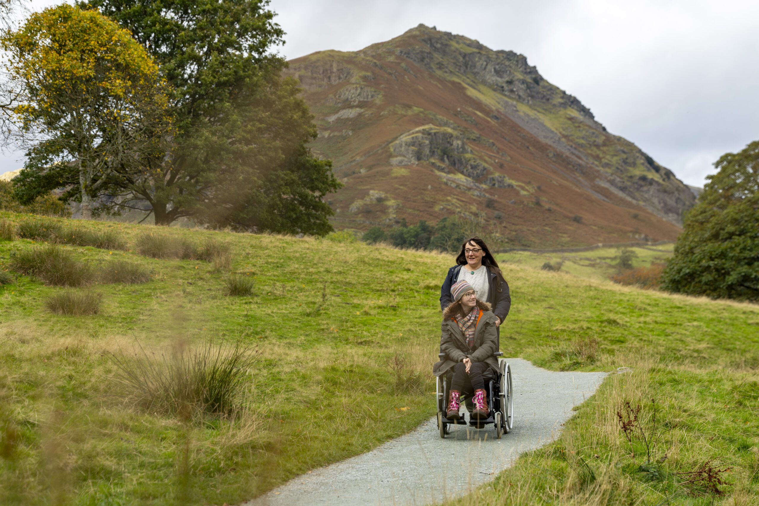
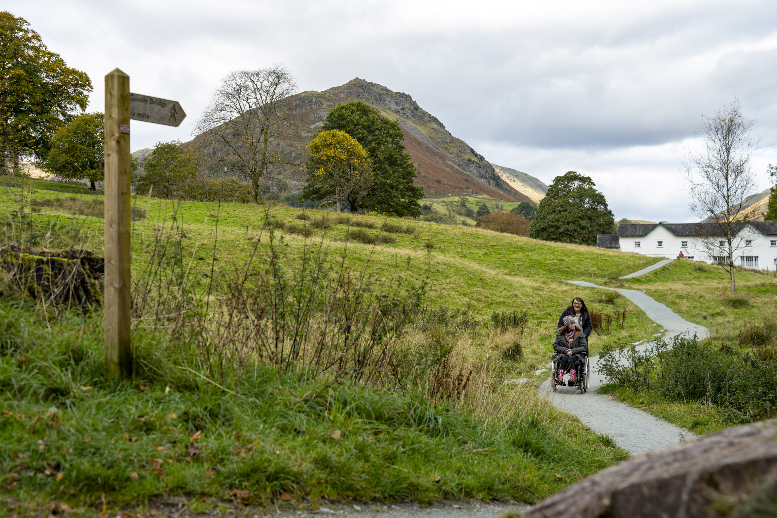
We are proud to unveil this wonderful new route around Grasmere Village. It was created in memory of the late Queen Elizabeth II, in partnership with Grasmere Village Society, the National Trust and Westmorland & Furness Council. It takes in the lovely riverside of the River Rothay; passes through the National Trust’s broadleaved woodland at Butharlyp How, crosses open fields past The National Trust house at Allan Bank with views to the fells, including Helm Crag (The ‘Lion and The Lamb’); and returns along the Grasmere Riverside Path (Route 10).
OS Explorer map OL 7, South East.
MWS Grade
For some
Duration
1 hour
Distance
1.81km / 1.12miles
Route
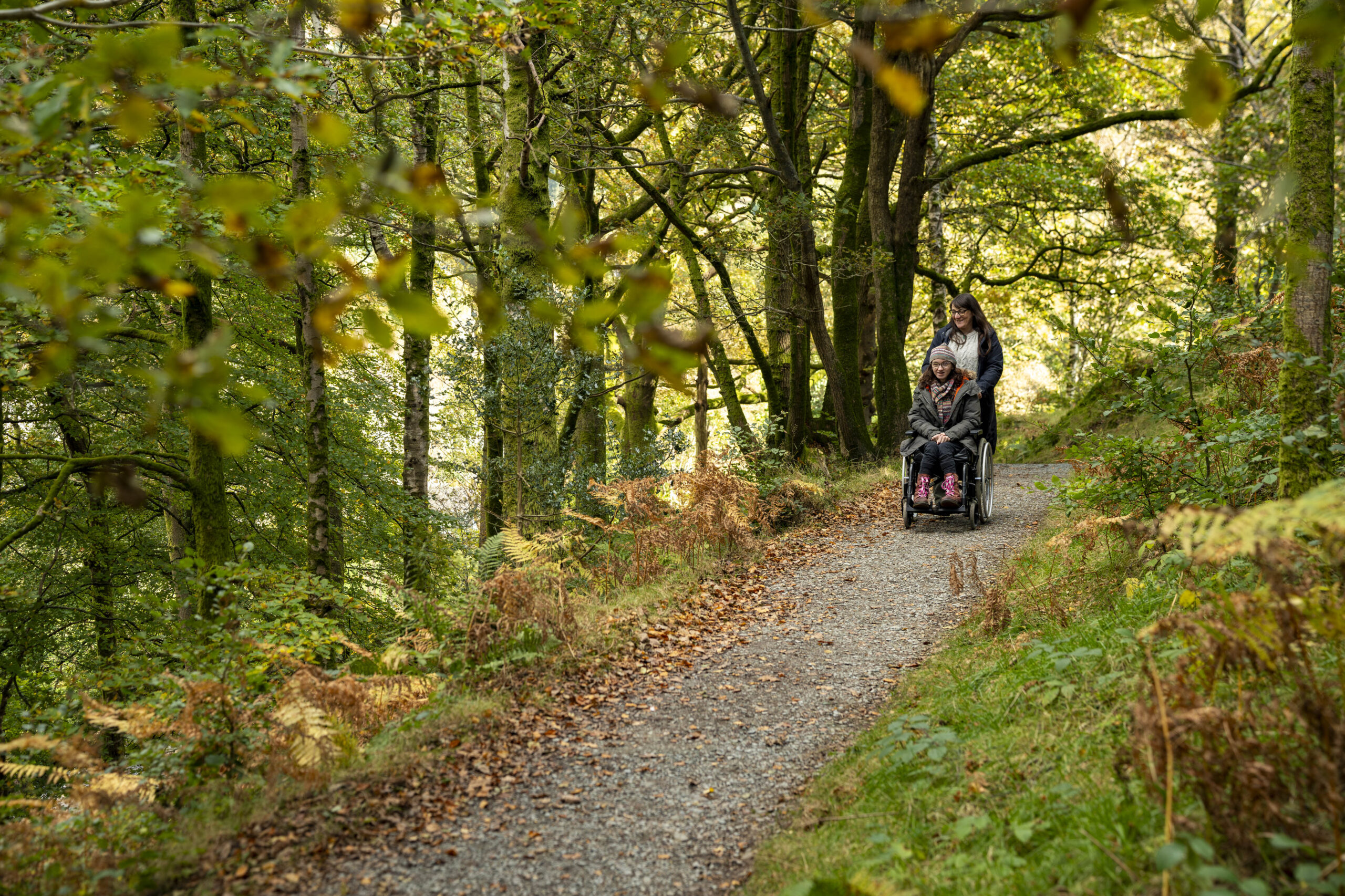
Most of the route is ‘for all’ standard apart from the section through Butharlyp Howe, which is ‘for some’ due to a slope of up to 1:5 for 50m but on a good gravel surface, which may be achievable for some wheeled equipment. We recommend that this ‘for some’ route should be followed in an anti-clockwise direction, as in this description.
To do the full route, including the ‘for some’ section (going anti-clockwise):
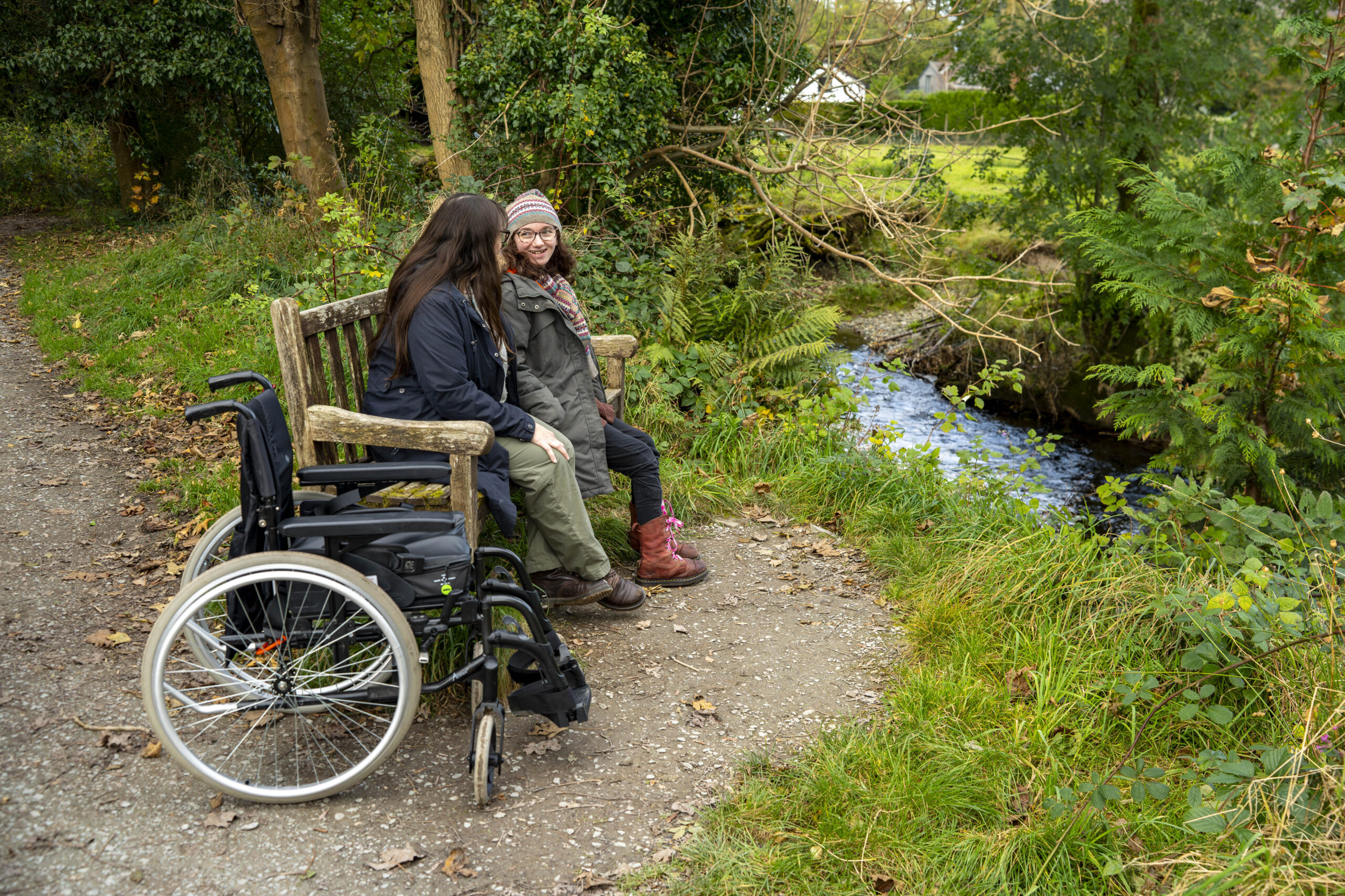
Leave Broadgate Car Park at the back corner, going left alongside the River Rothay on a tarmac path, though the recreation ground. Look out for dippers along this section and enjoy views to the left of the famous ‘Lion and the Lamb’ or Helm Crag.
There are numerous benches all through the park. Follow it around to the left to a gateway, cross the road with care turn right on the pavement. Then proceed with care along the edge of a short section of road and turn left through a gateway into the National Trust’s Butharlyp Howe woodland, on a wide gravel path. After 50 yards, there is a steep section with a gradient of up to 1:5 for about 50 metres with 2 resting places part way up. This is a lovely bit of ancient woodland with views over the river to Helm Crag and up towards Dunmail Raise to the right. There is another slope of up to 1:8 down, then go through the gate at the end and turn right along the Easedale road, being aware of traffic.
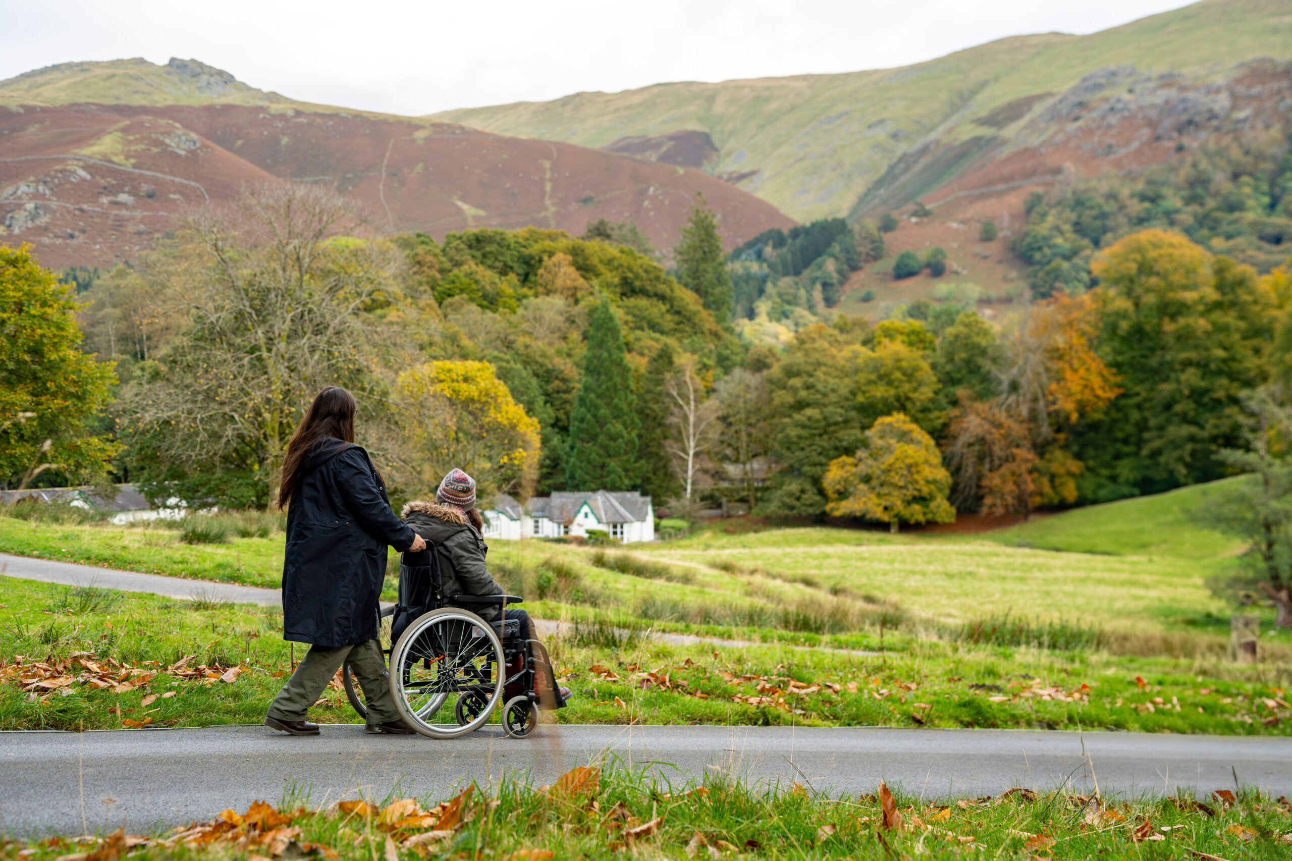
Proceed for 90 metres along the road, then turn left through a gate on to a new gravel path and either turn right, where the path continues for another 500 yards (then turn round and come back) or go left towards Allan Bank. From here there are great views up to the fells Tarn Crag and Sergeant Man to the right and Helm Crag and Seat Sandal behind you.
The gravel path curves round to the right, then through a gate, winds round to the left then right across the open field to join the road at Allan Bank, just below the National Trust property up to your right.
There is a fairly steep slope at 1:9 for the first few metres down this tarmac road to the cattle grid, using the gate to the right to bypass it. Carry on down that road back into centre of Grasmere, taking care on this quiet road as there is no pavement. Turn left and continue along the left hand side of the road for around 40m, then cross the road to your right and follow the tarmac path through the little village green, Moss Parrock on to College St and join route 10 Grasmere Riverside back to Broadgate Meadows Car Park.
Please note that mobility scooters must be class 2 or 3 on the route.
Details
Start point:
Broadgate Meadows Car Park
Postcode: LA22 9TA
Grid reference: NY 338077
W3W: ///happily.fries.calendars
Facilities:
Toilets at Stock Lane CP have male & female toilets (50p) with baby changing facilities plus a separate entrance for disabled toilets (radar key required). There are also toilets on College Street (which also require a radar key which can be collected from a local shop) Disabled parking spaces, toilets and refreshments in Grasmere.
Getting there:
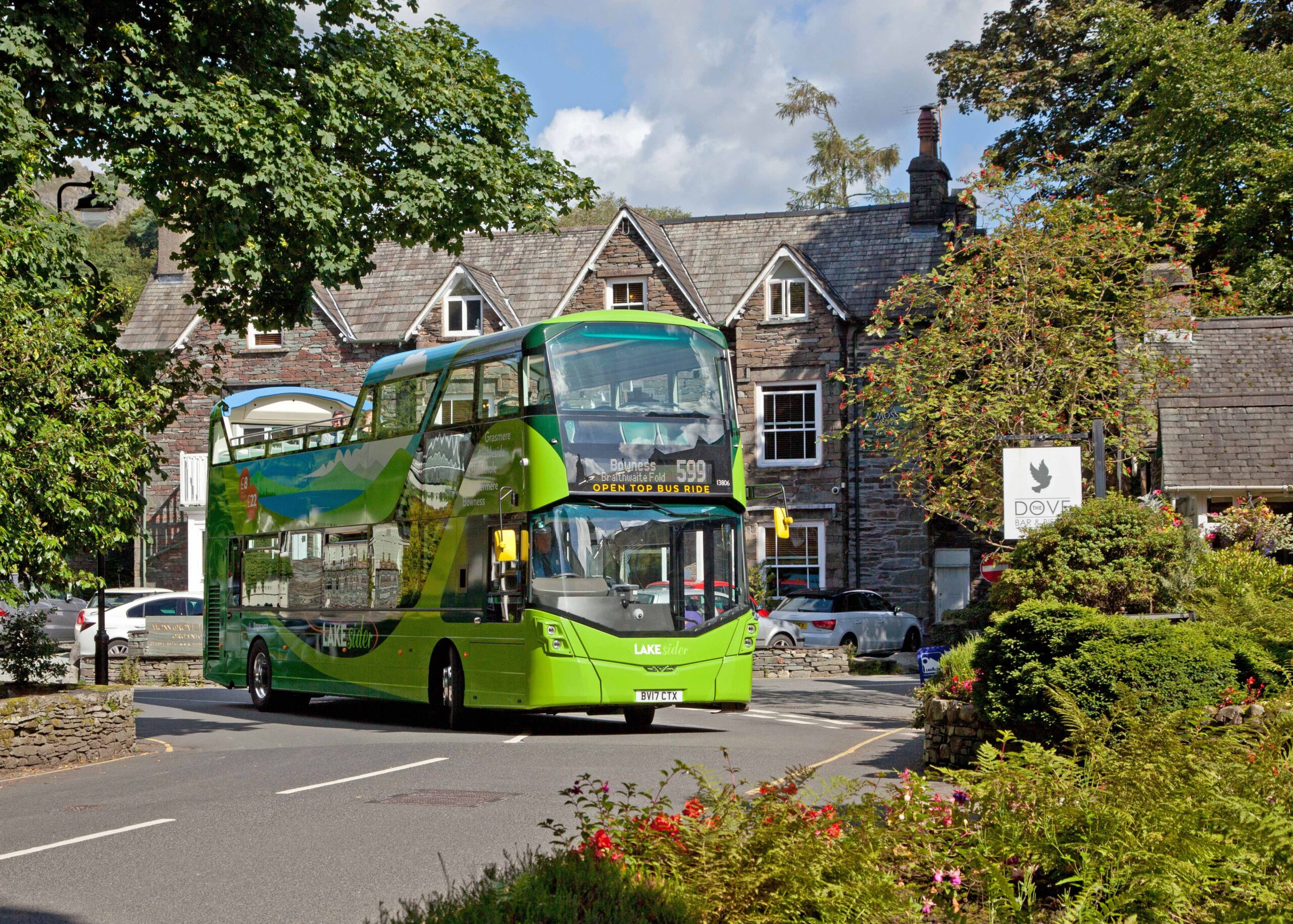
Bus: 555 and 599 services operate regularly to Grasmere from Ambleside and Keswick. In Grasmere bus stop near the Primary School is more accessible for wheelchair users.