Code
The impact of the proposal on heritage assets must be considered at the start of the design process because it determines whether you need to submit a Heritage, Design and Access Statement as part of your planning application.

Site assessment
Designations
Applicants need to understand the purpose of designations and refer to relevant national and local policies to ensure their scheme protects the integrity of these sites.
Code
Heritage, design and access statement must identity whether the proposal falls within, or within the setting of, any landscape, ecological, sites or designations.
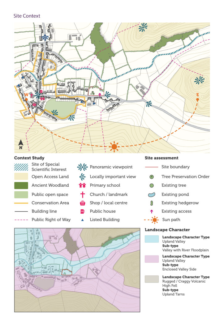
Site context
These sites and designations can be seen on our website’s interactive policies map. Applicants can also access interactive mapping through Defra’s Magic website. It is good practice to include a Context Study and Site Assessment as part of the heritage, design and access statement. The supporting information may help you prepare evidence to support the context study and site assessment. A Context Study and site assessment should include (as appropriate to the site and development):
- What is the settlement character of the surrounding area? For example, rural, hamlet or rural village, large village, market town.
- How tranquil or busy is the place? Is it a focus for activity or an area of repose?
- How well lit is the place? Does it have street lighting? What other forms of lighting are there? Is light pollution a problem?
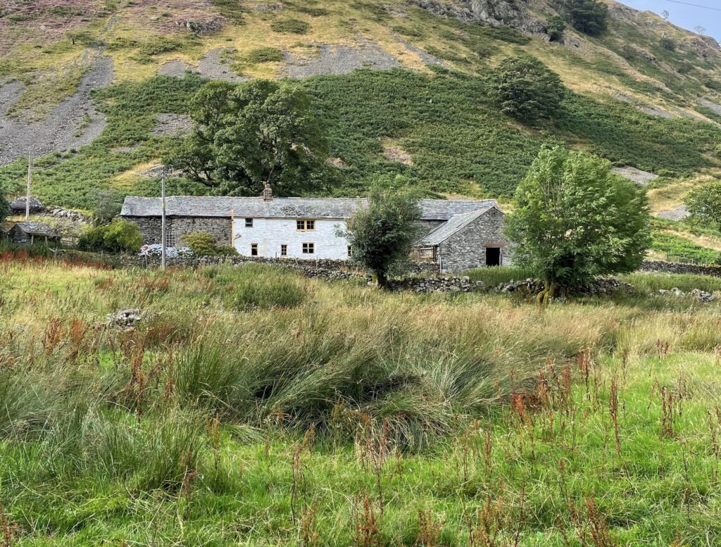
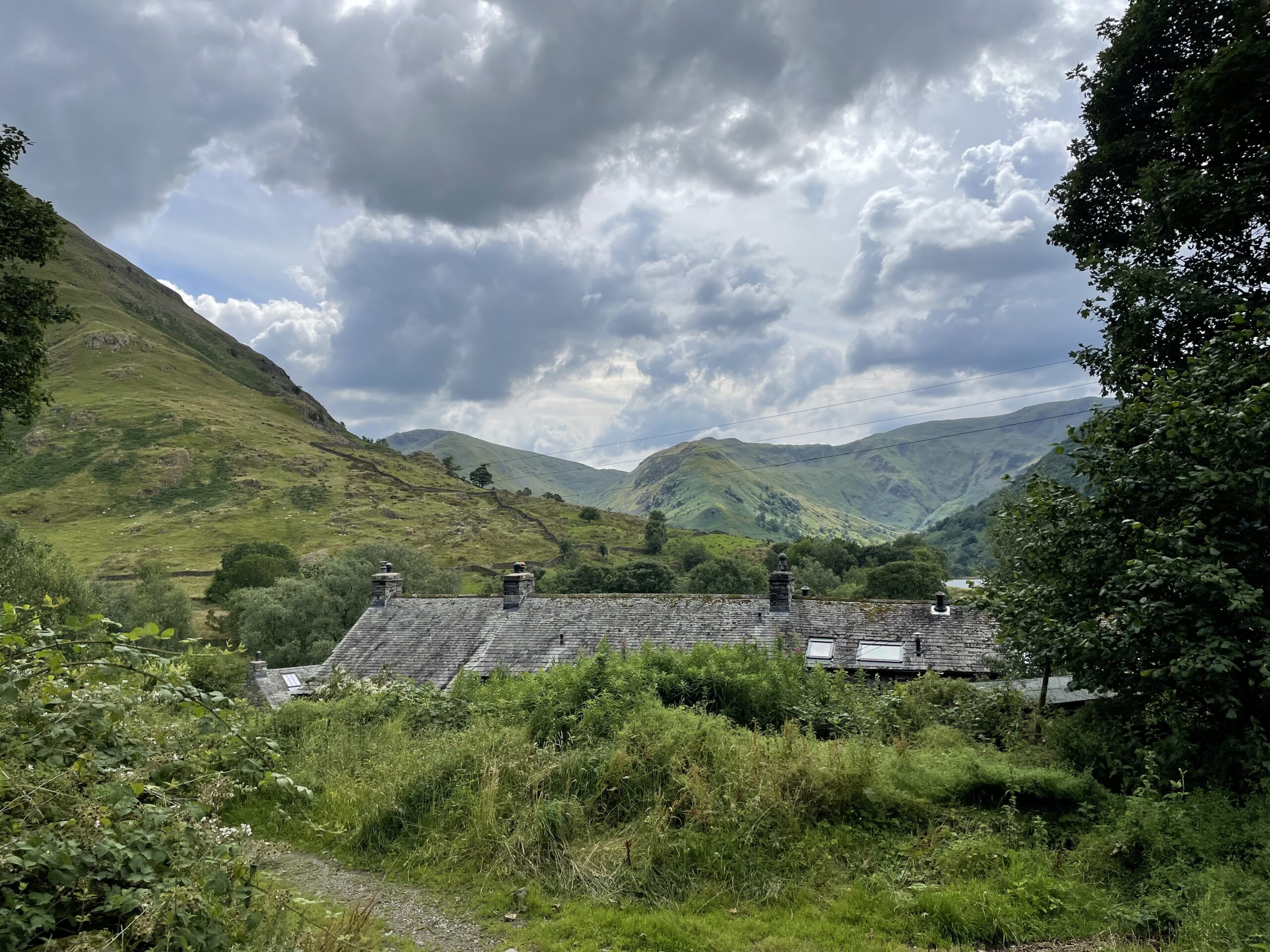
- What are the current landscape and natural features within the surrounding area? This can range from trees and hedges on neighbouring properties to green spaces, lakes, woodlands and high fells within the surrounding area.
- Are there any priority habitats and species (national or local) or designated ecological sites within the surrounding area?
- What are the current water features within the surrounding area, including coastline, lakes, rivers, streams, ponds and other water features?
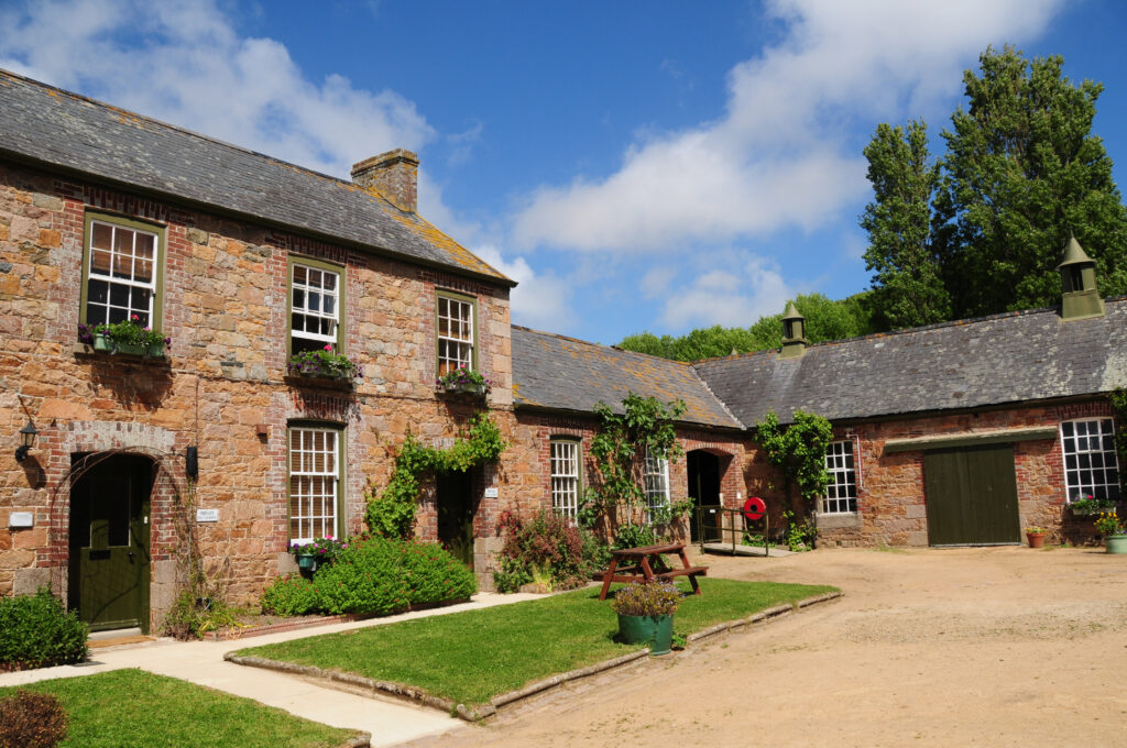
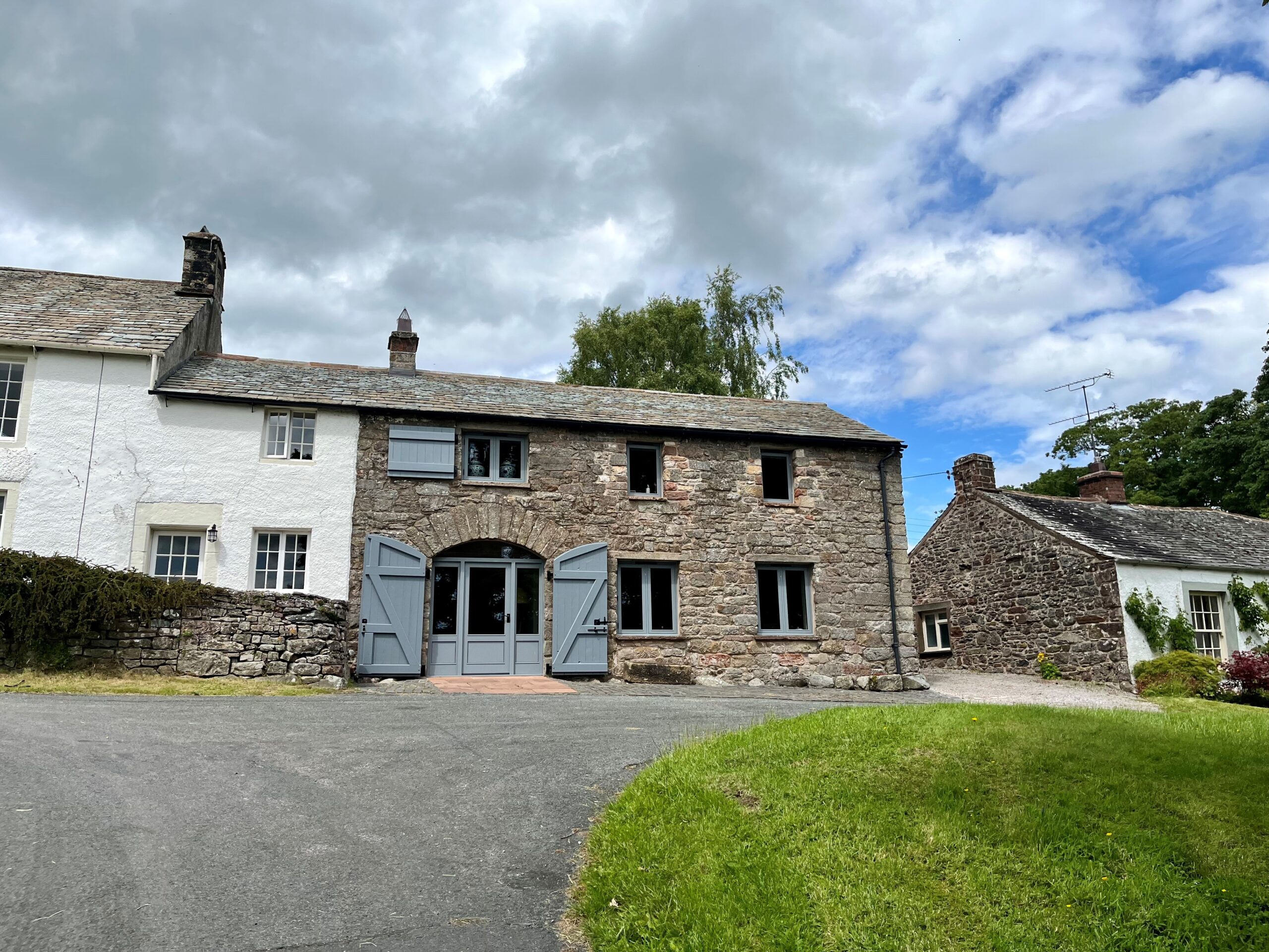
- What is the local building vernacular?
- What architectural details are common within the area? What is the proportion of these features?
- What buildings materials are common, both for walls and roofs, within the surrounding area? Are there any local variations in colours, textures, shapes and patterns?
What is the current function of the site within the settlement or wider context? What are the current land uses both on and adjacent to the site?
- Access points – How do access points relate to surrounding movement patterns, including by foot, bike and vehicle? Are there any rights of way through the site?
- Landscape & ecology – Are there any existing natural features on site, for example trees, hedgerows, watercourses, ponds, other significant habitat? What is the boundary treatment of the site? How can these features be retained or enhanced? Are there any Tree Preservation Orders on site?
- Topography – How does topography influence the layout of the site, drainage and both inward and outward views?
- Drainage – How well does the site drain and can this provide an opportunity for SuDS and wildlife? Does the site adjoin a watercourse? Is the site prone to flooding?
- Existing structures – Are there any existing structures on the site and what is the historic value of these structures? Are there opportunities to retain these structures or re-purpose materials? If demolition is required what is the reason for this?
- Existing utilities – Are there existing utilities on site that will need to be considered in site layout?
- Ground conditions – What is the geology of the site and is it permeable? What were previous land uses on the site? Is there the potential for contaminated land? Is the site likely to be of archaeological interest?
- Noise & air quality – Is there the potential for noise and air pollution to affect future occupiers of the site?
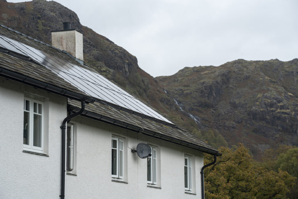
- Orientation – How does the path of the sun affect conditions on site and outward views? What is the existing microclimate on the site? Is there an opportunity to accommodate solar panels on the site to generate renewable electricity?