Skip to content
Landscape view of Windermere. Blue and grey lake and sky, green woodland extending into lake, green fells in background

Postcodes for Sat Nav

Travel in the Lake District – find your way with care

Find your way, but plan ahead!

If you’re using a sat nav or an app to explore the Lake District, our handy postcode list will help you reach key villages, towns, and landmarks. However, the shortest route isn’t always the best—some roads are narrow, steep, or unsuitable for larger vehicles. Before you set off, double-check your route, especially if you’re driving a caravan or larger vehicle. Hardknott Pass, Wrynose Pass, and Honister Pass are among the steepest in the UK, while some single-track lanes have tight corners that can be tricky to navigate. Use information on your device as a guide, but always follow road signs and local advice to ensure a safe and smooth journey through this stunning National Park.

Allow plenty of time.

Don’t expect the times given to be realistic, On narrow country roads there are lots of things that can add time to your journey: a farmer on a tractor, a flock of sheep, cows being taken for milking, slower vehicles (with few safe overtaking places) or someone enjoying the view, so please be patient. If you are on holiday expect the unexpected, whether that’s a sudden bend, or a red squirrel crossing the road, so please don’t rush, enjoy the journey and remember it’s better to get there safely, even if a few minutes late.

Don’t get stuck!

Please don’t rely just on your Sat Nav, as the quickest way may not be suitable for your vehicle. Caravans and lorries in particular have become stuck on tight corners and narrow lanes in the past. Check the route carefully in advance for gradient and narrowness.

Hardknott Pass, Wrynose Pass and Honister Pass are among the steepest roads in the country. Also Red Bank Road between Grasmere and Langdale is a single track lane with very tight corners. It is not suitable for lorries or caravans.

One way systems and road layouts sometimes change, so please always follow local directions and signs.

Here’s a list of handy postcodes to villages and towns in the National Park, useful if you’re using sat nav. Where possible the postcodes used are of the local post office:

  • Ambleside: LA22 9BU – nearest lake? Windermere
  • Bassenthwaite: CA12 4QH – nearest lake? Bassenthwaite
  • Bootle: LA19 5TF
  • Bowness-on-Windermere: LA23 3HJ – nearest lake? Windermere
  • Brockhole on Windermere: LA23 1LJ – nearest lake? Windermere
  • Buttermere: CA13 9UZ  – nearest lake? Buttermere
  • Broughton-in-Furness: LA20 6BJ
  • Coniston Village: LA21 8DU – nearest lake? Coniston
  • Coniston Boating Centre:  LA21 8EW – nearest lake? Coniston
  • Caldbeck: CA7 8EA
  • Elterwater: LA22 9HP
  • Glenridding on Ullswater: CA11 0PA – nearest lake? Ullswater
  • Grasmere: LA22 9PZ – nearest lake? Grasmere
  • Hawkshead: LA22 0NS
  • Hesket Newmarket: CA7 8JG
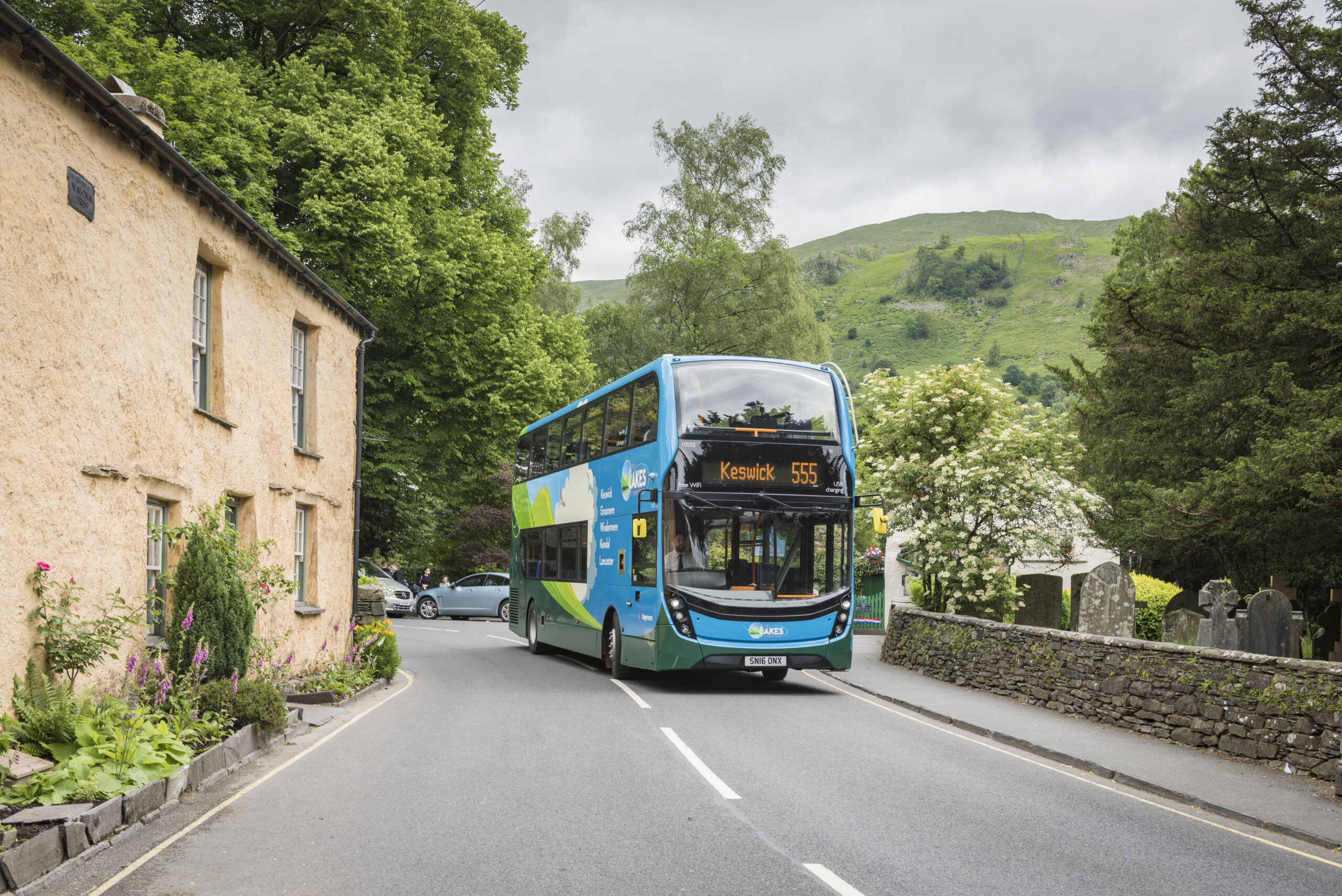
  • Keswick: CA12 5DQ – nearest lake? Derwentwater
  • Loweswater: CA13 0RU – nearest lake? Loweswater
  • Patterdale: CA11 0NW – nearest lake? Ullswater
  • Pooley Bridge: CA10 2NP – nearest lake? Ullswater
  • Ravenglass: CA18 1SG
  • Seatoller: CA12 5XN – nearest lake? Derwentwater
  • Staveley: LA8 9LN
  • Troutbeck: LA23 1PF
  • Wasdale Head: CA20 1EX – nearest lake? Wastwater
  • Windermere: LA23 1AH
  • Head Office in Kendal: LA9 7RL. Check out contact us for directions to various LDNPA offices and locations.
keswick 555 double decker bus driving down road with stone cottage to left and dry stone wall with blossom tree to right keswick 555 double decker bus driving down road with stone cottage to left and dry stone wall with blossom tree to right

Consider sustainable travel

Let’s keep the Lake District special! Discover alternative ways to get here and explore its stunning surroundings.