

Intention to make a Traffic Regulation Order
Before we make an Order we have to tell people what we intend to do and why. These Notices of Intention are published in the local press and on this website at least 7 days before the Order is made.
Smithy Beck Bridge, Bridleway 407021, Ennerdale and Kinniside Parish
Date of change: 15 October 2026
We intend to make an Order temporarily closing part of Bridleway 407021 whilst Smithy Beck Bridge is replaced by Forestry England. The bridge crossing and forest road to the east will be closed to enable the efficient replacement of the bridge from Tuesday 10 November 2026. Although an Order may last up to 6 months it is expected that the closure will only be in effect for 3 or 4 days during the works.
An alternative route for walkers and dismounted cyclists will be available as shown on the plan via points A-C-B, utilising an established walking trail, footbridge over the beck and forest roads. Unfortunately no suitable alternative route will be available for horses, or users with mobility scooters or pushchairs.
Anglers’ Crag, Footpath 407024 and unrecorded way generally used as part of footpath 407024, Ennerdale and Kinniside Parish
Date of change: 15 October 2026
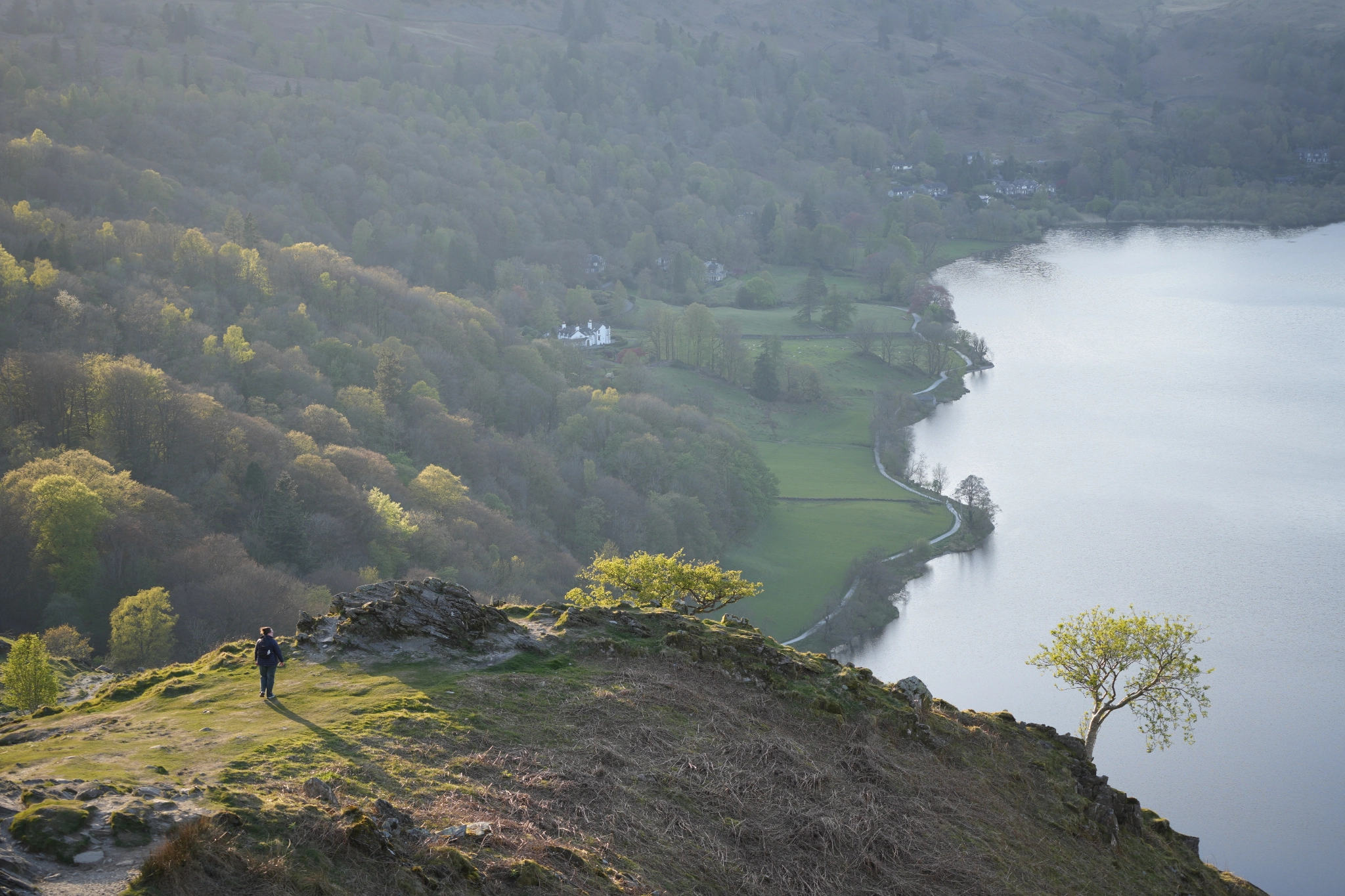
We intend to make an Order temporarily closing a section of path over Anglers’ Crag (along the southern shore of Ennerdale Water). The closure will enable works to be undertaken to repair a collapsed revetment, address erosion of the path and improve its resilience to erosion.
Although an Order may last up to 6 months, it is expected that the closure will only be in effect for around six weeks (taking place some time between mid-November 2026 and the end of March 2027). Outside the works period the path will remain open as usual. During the works, there may be some times when the path can be made available outside working hours – additional signage will be used to advise when the path is open or closed.
An alternative route is available as shown on the plan within the order between points E and F, using the public rights of way skirting the northern side of Ennerdale Water. Other alternatives are possible using other rights of way and surrounding open access land, depending on individual start points and destinations.