The 13 Valleys Trail visits all 13 of the World Heritage Site valleys.
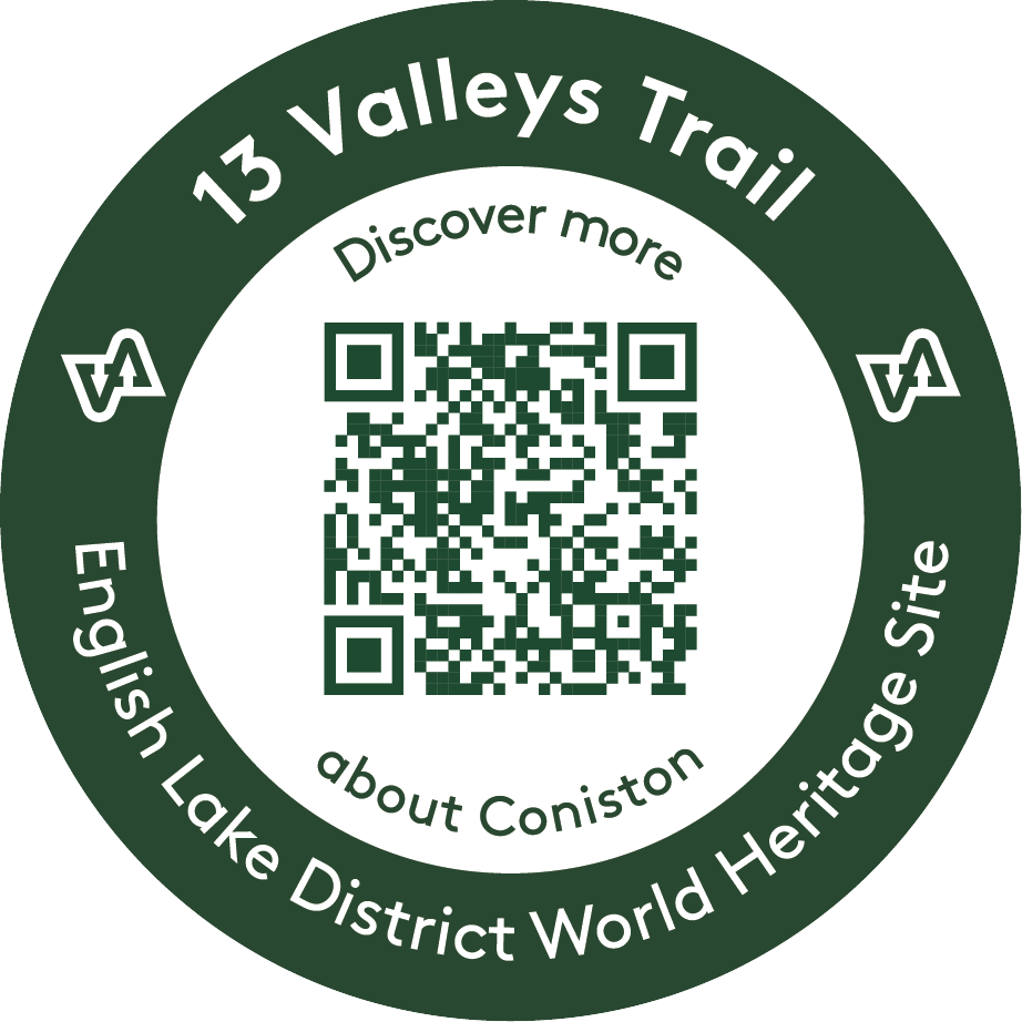
The 13 Valleys Trail can be followed as a long route for the adventurous, or walked in short sections. Each valley has its own distinctive character and features that contribute to the UNESCO World Heritage Site. Within each valley you will find roundels, such as the one pictured here, on public rights of way markers. When you scan the QR code you'll be able to learn more about the unique features of that particular valley.
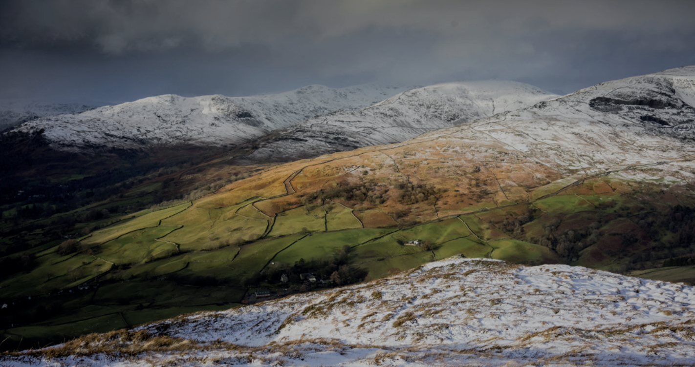
 This route whether as a long walk over days, or broken down into smaller sections, will show you the beauty of the Lake District and how different the valleys are.
13 Valleys Trail is on public rights of way, however some sections are not waymarked, so a map and compass is required, please note, some sections are steep and exposed.
Many parts of the trail can be reached by public transport, which we'd encourage you to use. The trail includes linear routes, meaning not having to go back to your starting point. Along the trail there will be opportunities to support local eating and drinking establishments where you can sample local produce - look out for World Heritage branding on local goods.
The 13 Valleys of the English Lake District World Heritage Site are inspired by William Wordsworth’s subdivision of the Lake District landscape into 12 imaginary spokes of a wheel. Our World Heritage Bid in 2017 followed the 12 valleys and treated Langdale as the 13th valley, separate to Windermere. This helped distinguish clearly between valleys that meet at the head of Windermere and Langdale's major, distinctive valley, which is very different in character from the main Windermere valley.
The 13 Valley Trail was developed in partnership with the 13 Valleys Ultra to offer a year-round trail for walkers and runners to experience the valleys of the World Heritage Site.
There are lots of walks for all abilities in the Lake District National Park, including more than 50 accessible Miles Without Stiles routes, Ullswater Way and many high and low level walks.
The interactive map below shows the 13 Valleys Trail within The English Lake District World Heritage Site.
Use the tick boxes to show the valleys and roundel locations.
Click the black triangle (top left of map) to hide the key and expand the map.
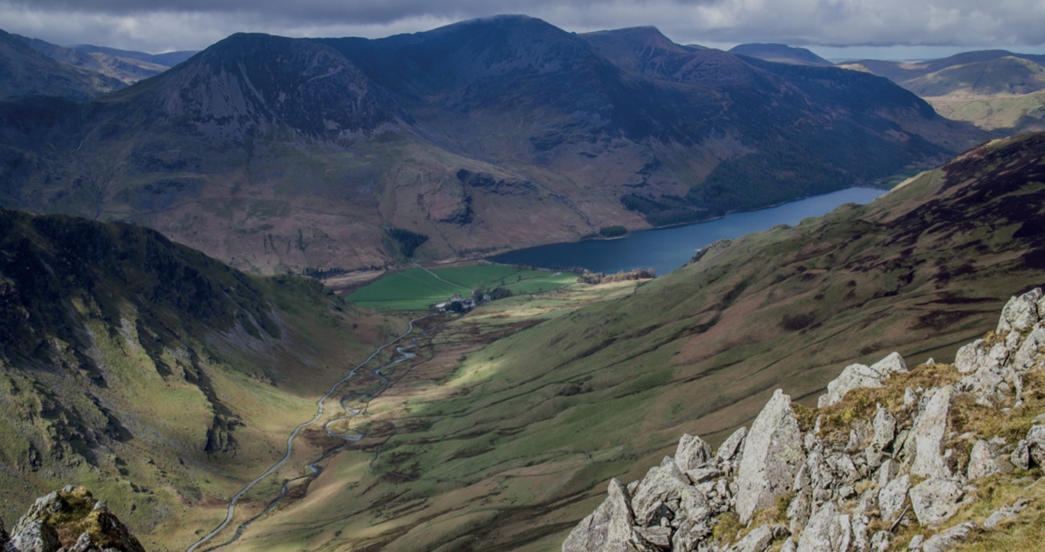
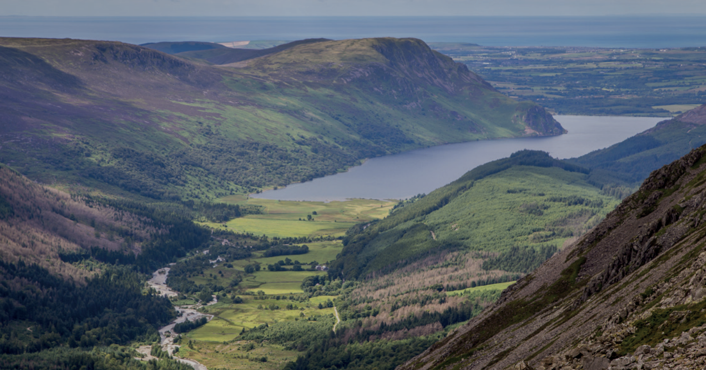
North west of the Park, Buttermere’s U-shaped valley contains lake Buttermere, Crummock and Loweswater. Buttermere runs out from the central fells, through the meandering Derwent Valley to Solway Firth. Buttermere
From fells of Rossett Pike and Esk Hause in the south, to the north edge of Caldbeck Fells and coastal plain of Solway Firth, Derwent Water, Bassenthwaite and Keswick town. Borrowdale and Bassenthwaite
In central southern Lake District, Coniston valley and its linear, glacial lake, Coniston Water, is guarded by rugged fells of Coniston Old Man and Wetherlam, overlooked by woodlands and forest plantations. Coniston
The narrow valley of River Duddon is enclosed at its head by rugged high fells of Harter Fell, Ulpha Fell and Grey Friar, with mountain passes at Cockley Beck. The valley runs south-west to meet the Irish Sea. Duddon
Tucked into the central far west of the Lake District, Ennerdale runs from east to west from the high central fells to the rolling hills and moorland of West Cumbria and the Irish Sea coastal plain. It is the only major Lake District valley to have no public road along it. Ennerdale
Eskdale begins in the wild heartland of Scafell massif, goes south-west to the coast, where mountains plunge almost directly to the sea. A mixed dramatic landscape, from steep, craggy volcanic uplands, to softer, broader land and wide tidal estuary at Ravenglass. Eskdale
Running north to south from Dunmail Raise pass, the classic U-shaped valley contains popular Grasmere and Ambleside and small lakes of Rydal and Grasmere, surrounded by woodland and pasture, overlooked by craggy high fells. Grasmere, Rydal, Ambleside
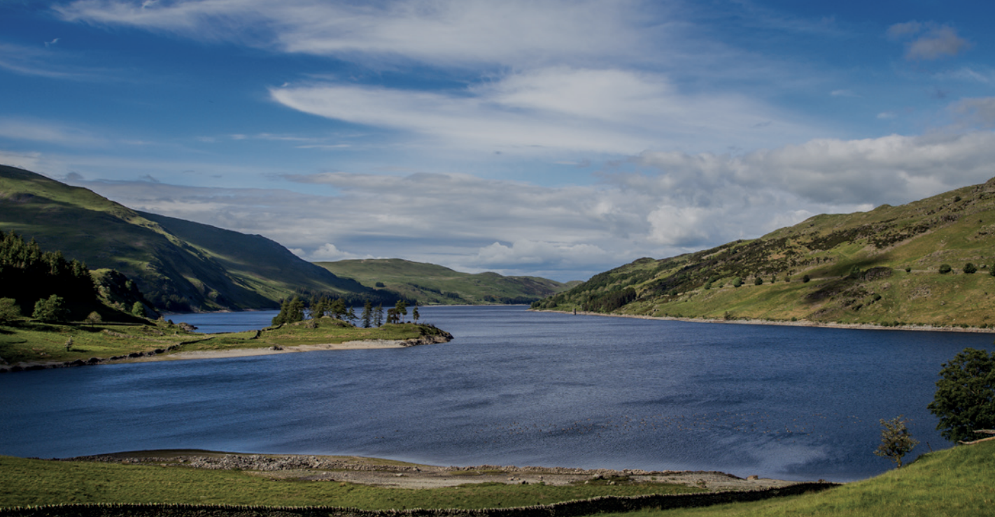
Haweswater is a reservoir valley, flooded in 1935 to create a long curving body of water south-west to north-east. A tranquil, less visited corner of the Lake District, lying on the north-east edge. Haweswater
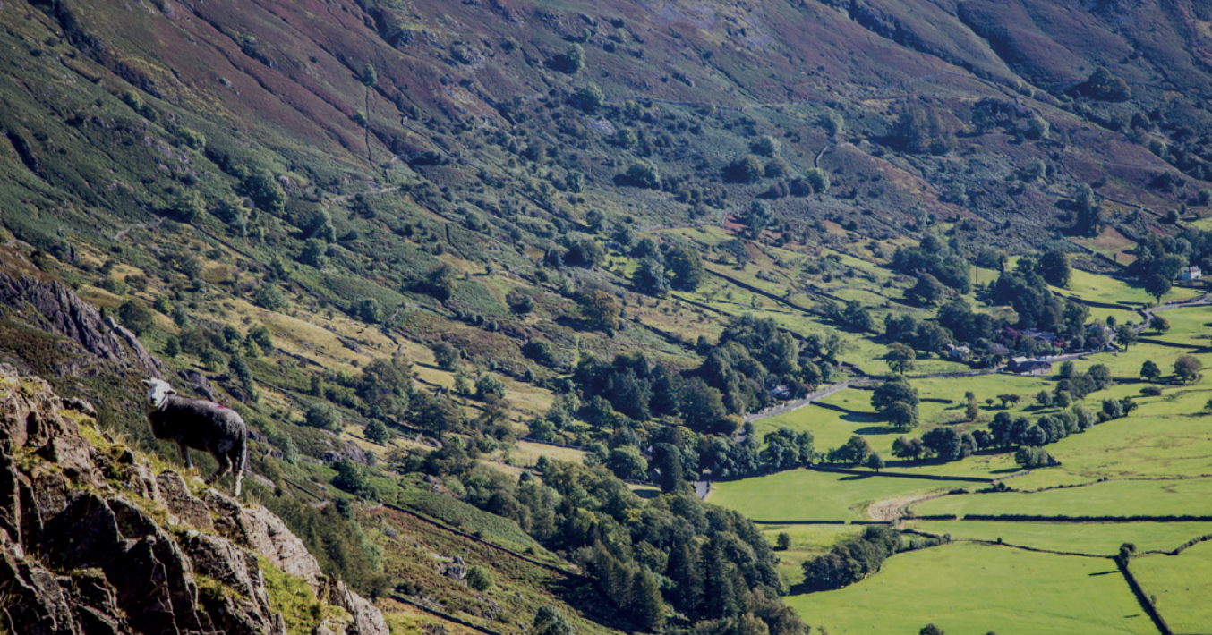
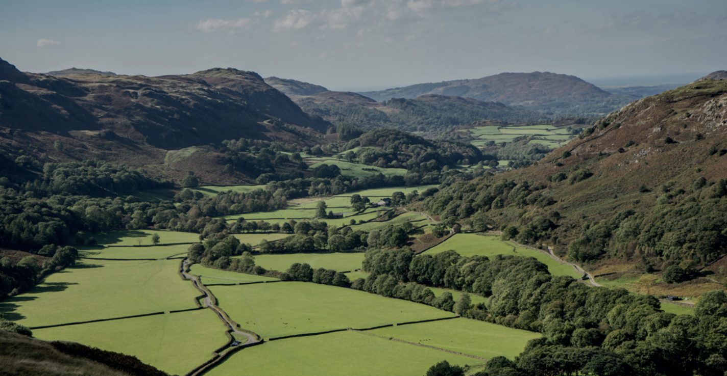
Langdale valley in the heart of the Lake District is a classic, stunning example of a U-shaped glacial valley, described by John Ruskin as the loveliest rock scenery, chased with silver waterfalls. Langdale valley
The valley of Thirlmere is dominated by its large reservoir and looming, steep-sided fells. The bulk of Hellvellyn hangs over its eastern edge with the mighty Skiddaw and Blencathra to the north. Thirlmere
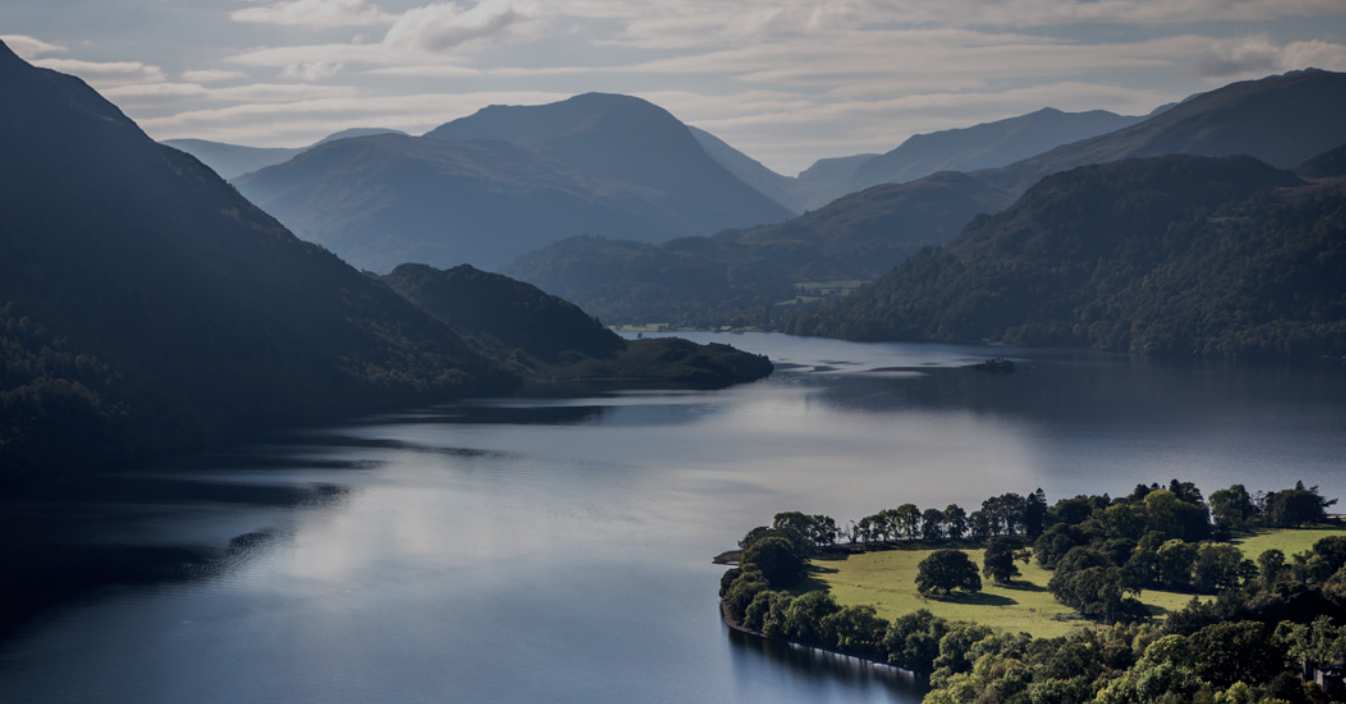
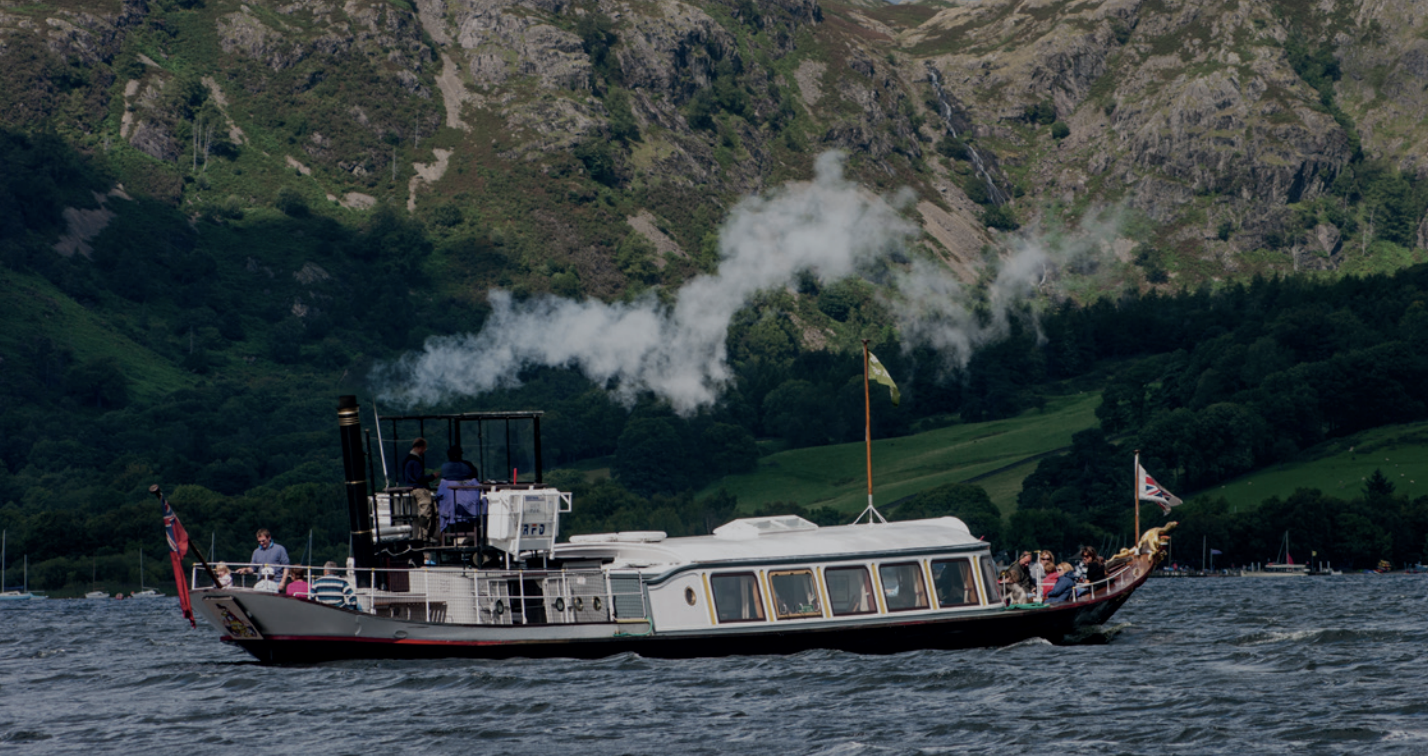
Ullswater carves a roughly northeastward path from the high central fells of the Helvellyn and High Street massif to meet the gentle Eden Valley. Ullswater
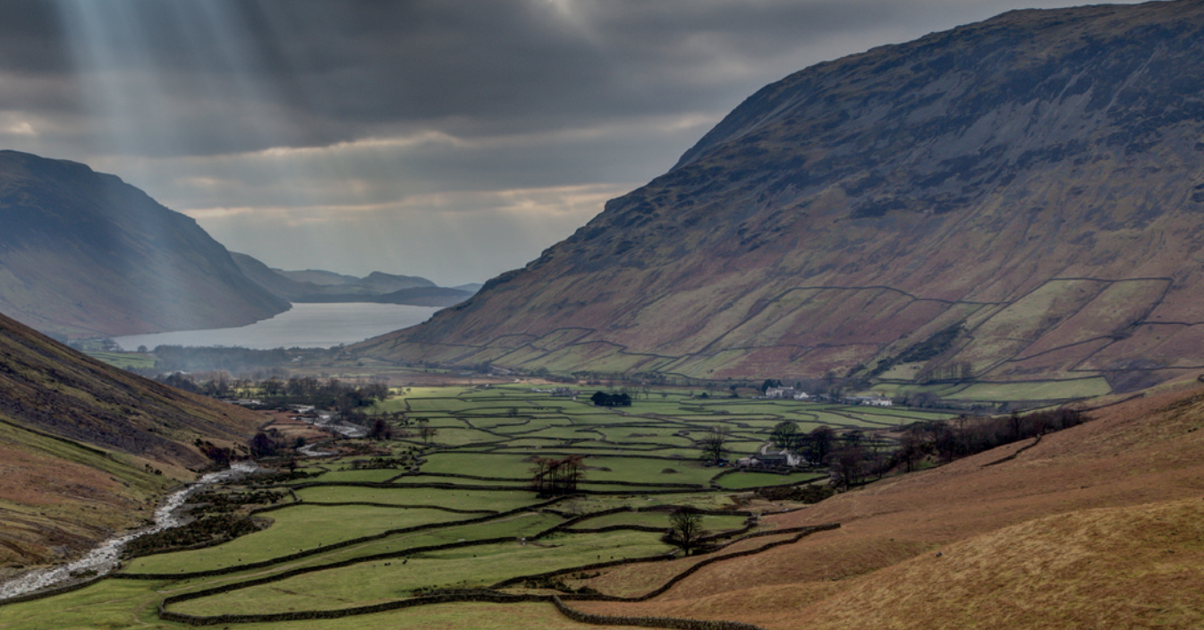
Wasdale in the west, has England’s highest mountain, Scafell Pike and deepest lake Wast Water. The fells give way as the valley runs southwest, to pastoral landscape and parkland, and into the estuary where rivers Irt and Mite meet the sea. Wasdale
Reaching southwards from central mountain core down to the sea, Windermere valley is a vast, varied landscape, with England’s longest, largest natural lake and River Leven, winding into Morecambe Bay. Windermere


