Local character is derived from the interaction of many factors — built form, landscape, public spaces, history, nature, and cultural associations, and less tangible aspects like a sense of community. Understanding the physical, cultural and spiritual factors that shape place identity is a critical first step in the design of developments that preserve and enhance local character and make a positive contribution to placemaking.
Heritage, design and access statements must refer to the Lake District National Park Landscape Character Assessment and identify the Landscape Character Type, Landscape Character Sub Type and Area of Distinctive Character in which the scheme is located. Once relevant character types and areas are determined, a review of the elements of character type can be carried out. The design of new development must be inspired by and respect landscape character as this will inform the location, layout and design of new development.
Lake District National Park Landscape Character Areas. Contains OS data © Crown copyright and database right 2023.
Use the Landscape Character Assessment to understand and inform your development proposal by considering:
Landscape Character Type
Area of Distinctive Character
The illustration below demonstrates how landscape character types may affect your development proposal:
Applicants need to understand the purpose of designations and refer to relevant national and local policies to ensure developments protect the integrity of these sites.
The heritage, design and access statement must identity whether the proposal falls within, or within the setting of, any other landscape, ecological, cultural and historic sites or designations.
These designations can be seen on our website’s interactive policies map. Applicants can also access interactive mapping through Defra's Magic website. It is good practice to include a Context Study and Site Assessment as part of the heritage, design and access statement. An example is provided in the site context illustration. The supporting information may help you prepare evidence to support the context study and site assessment.
A Context Study and site assessment should include (as appropriate to the site and development):
Click to zoom in
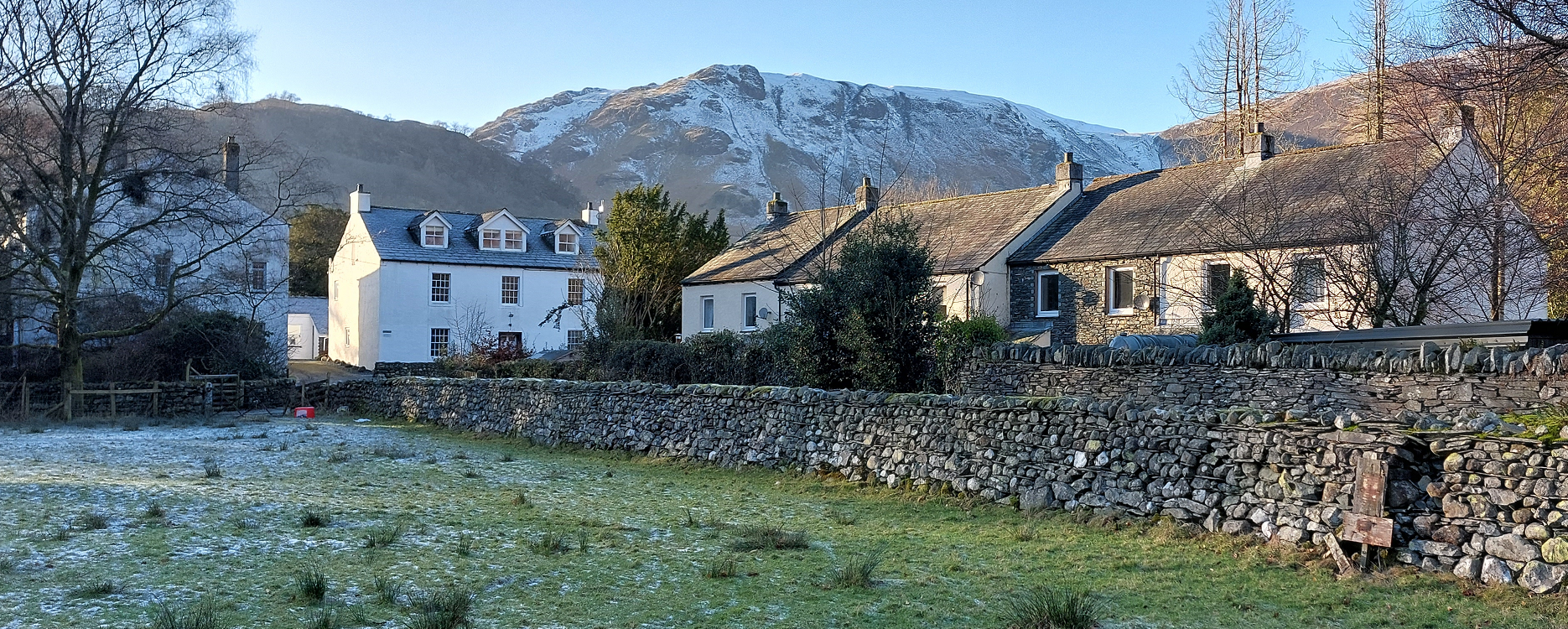
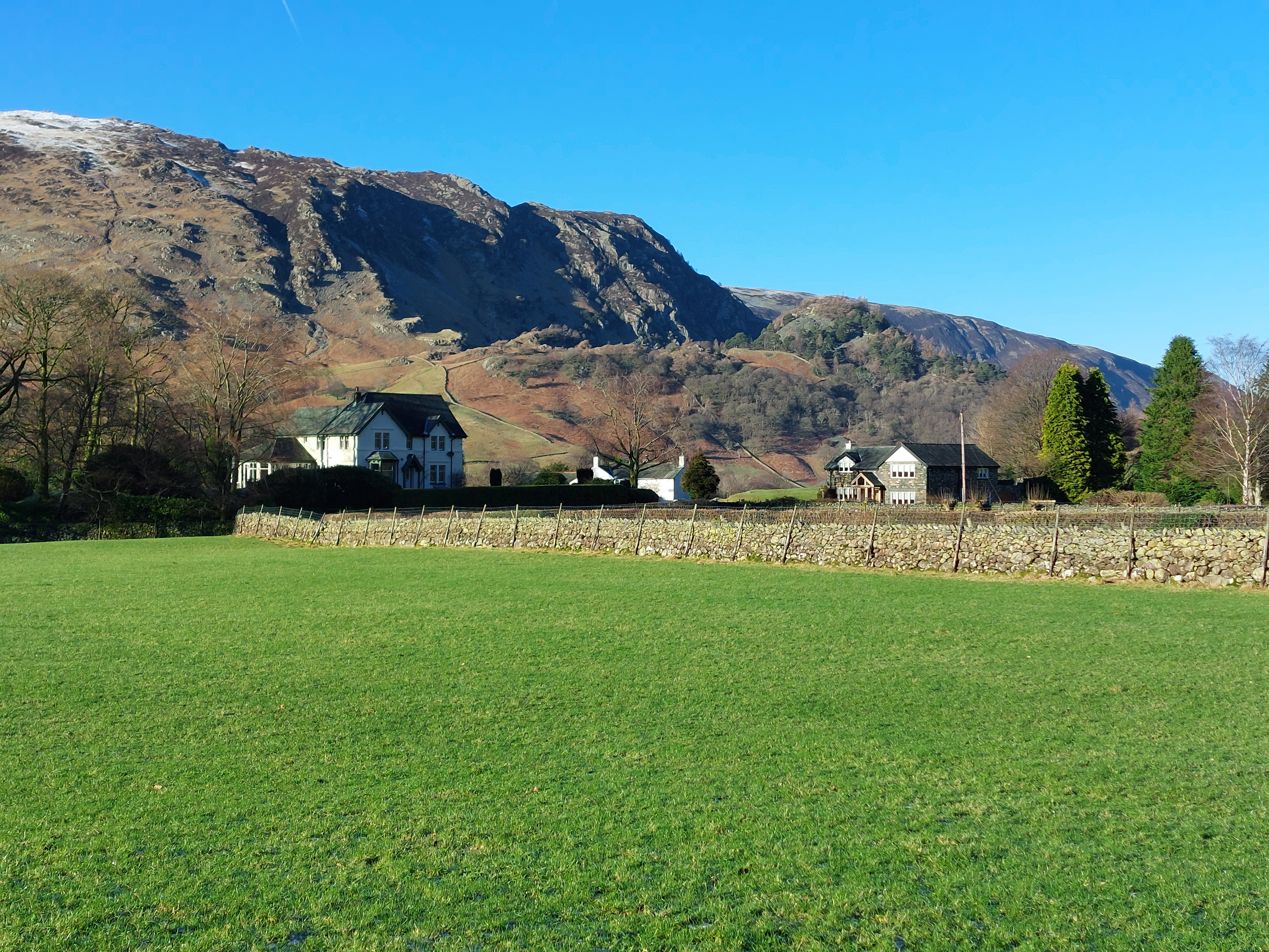
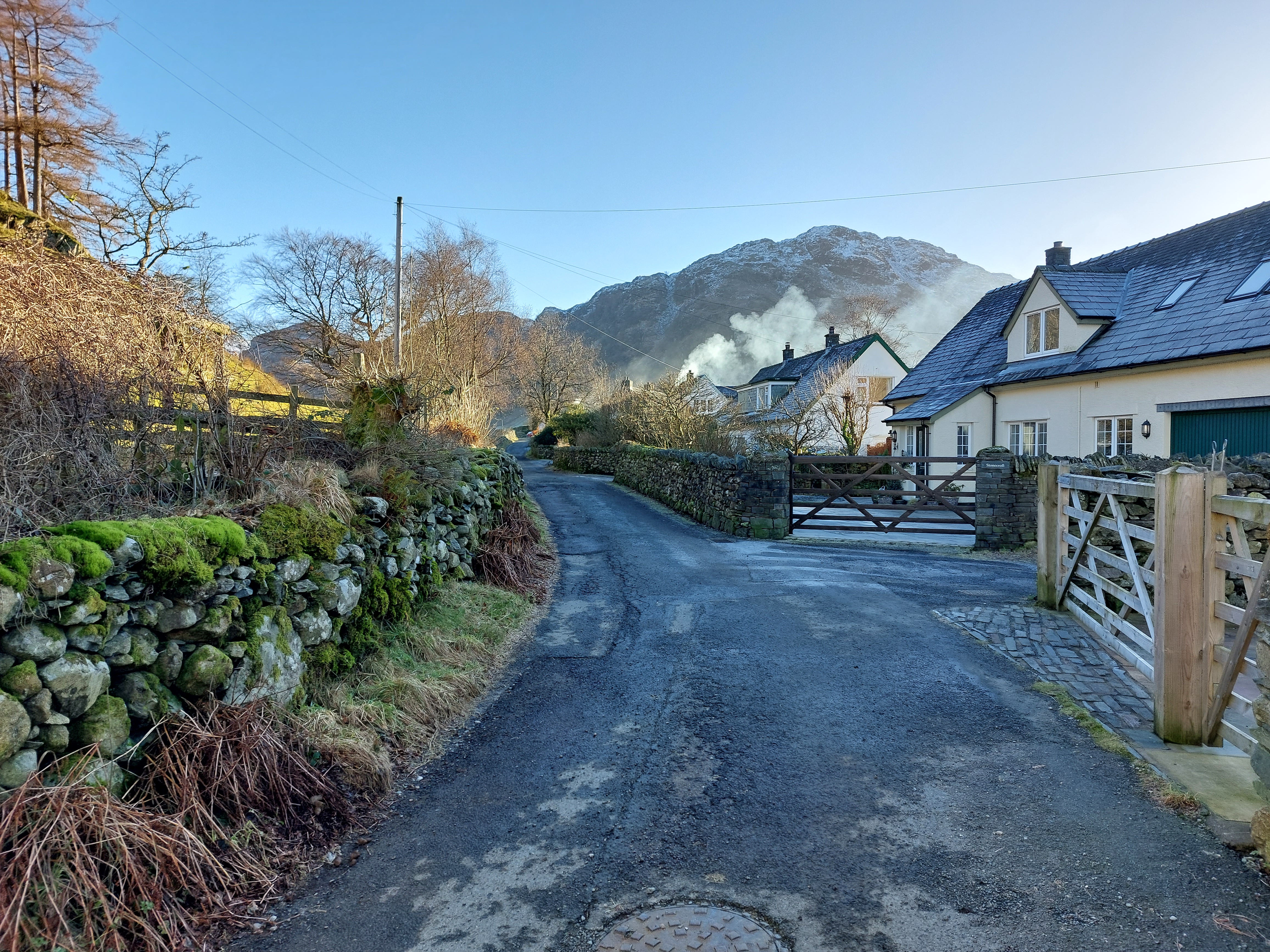
The meeting of two landscape character types, 'Upland Valley' and 'Rugged / Craggy Volcanic High Fell', at Hartsop. Located within the Ullswater Valley, Hartsop is situated at the interface of three landscape character sub-types, 'Enclosed Valley Side', 'Valley with River Floodplain', and 'Valley with Lake'. Hartsop also falls within the 'Brother's Water and Hartsop' area of distinctive character.
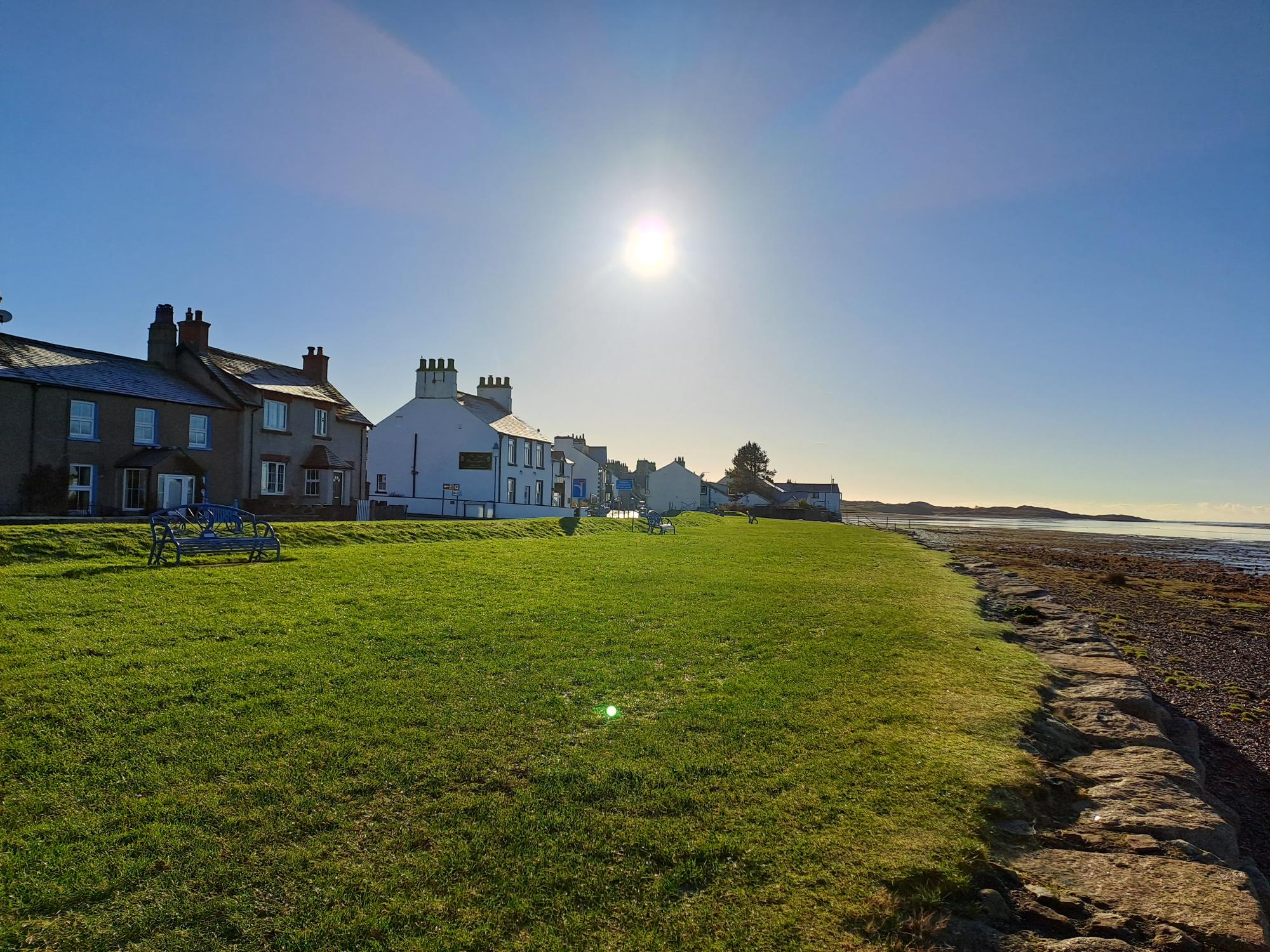
The coastal village of Ravenglass is located within the 'High Fell Fringe' landscape character type. The village overlooks the 'Estuary and Marsh' landscape character type, which also falls under the 'Intertidal Flats' landscape character sub-type. The village also falls within the 'Ravenglass and Bootle' area of distinctive character.
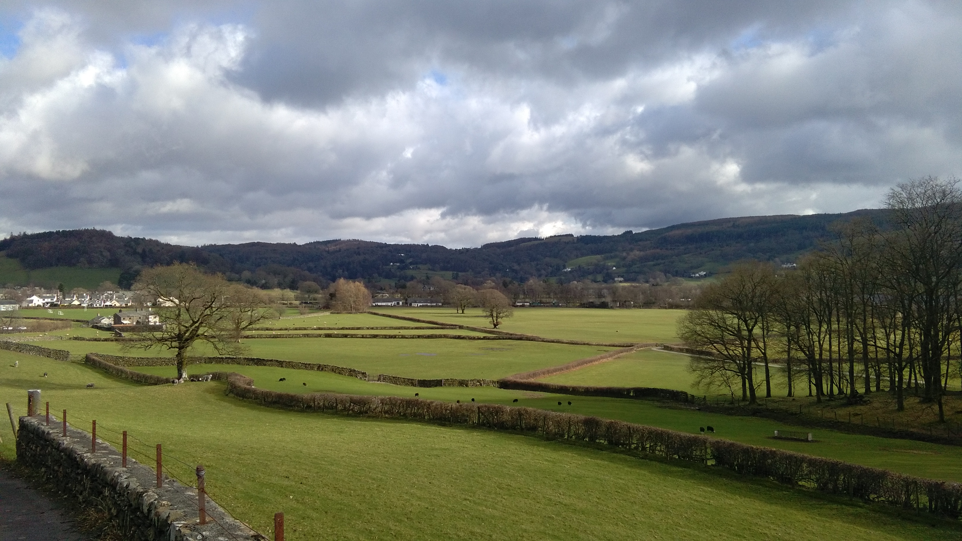
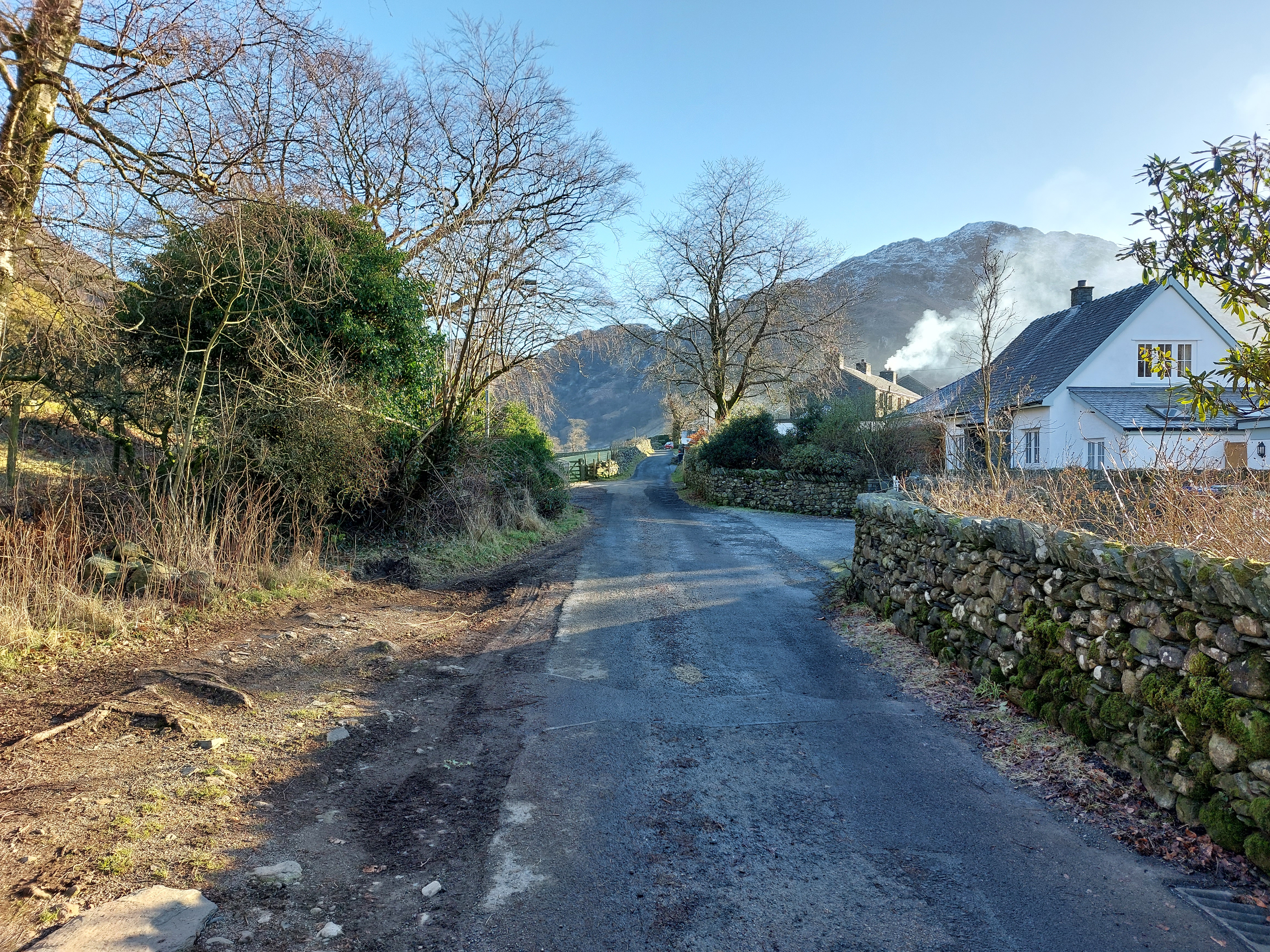
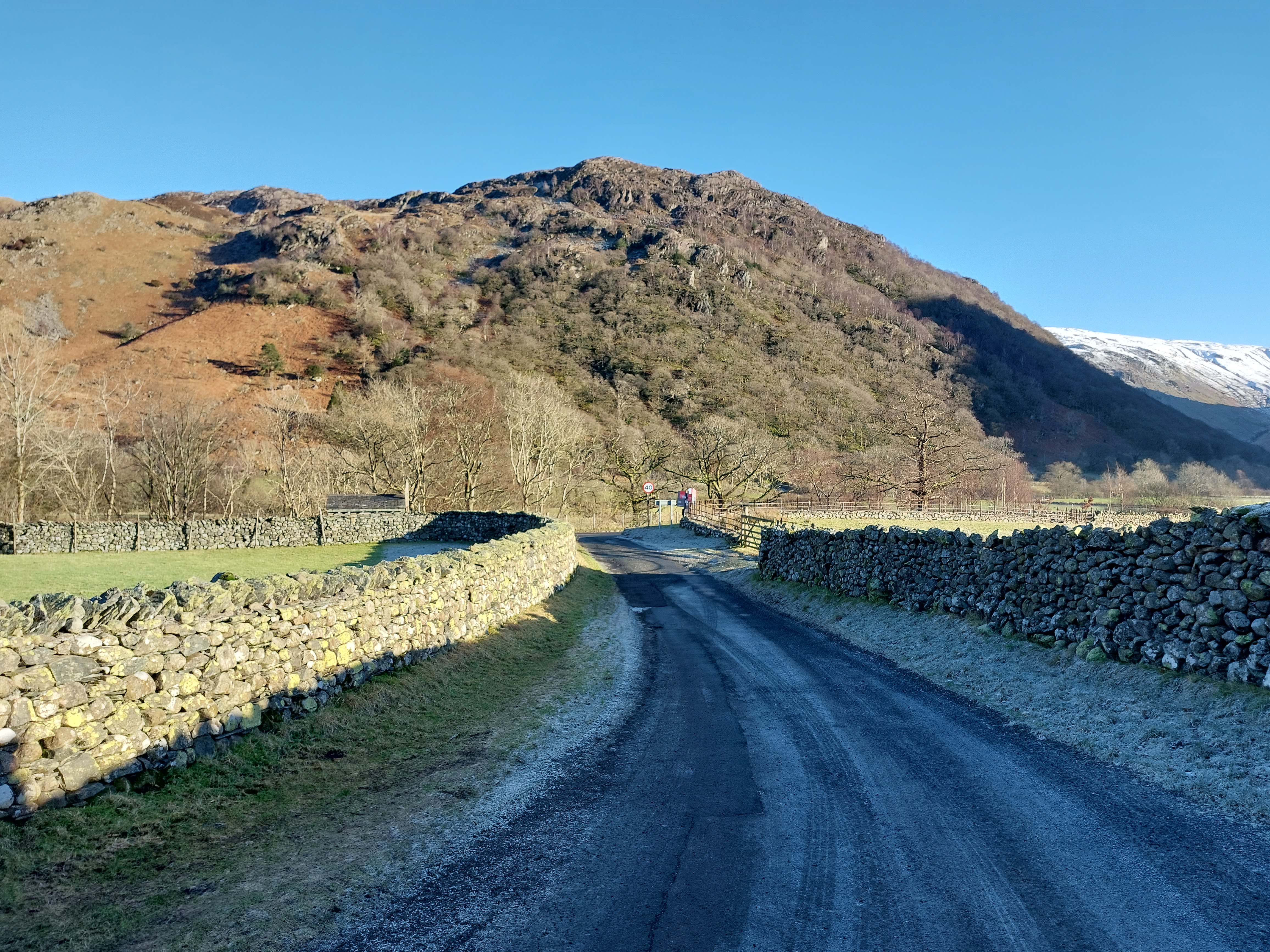
Surrounding fells create a backdrop in views towards houses. The sheer scale of this topography offers a contrast to the scale of built form and creates an abundance of vertical elements in views, creating a sense of enclosure when experienced from the valley floor.
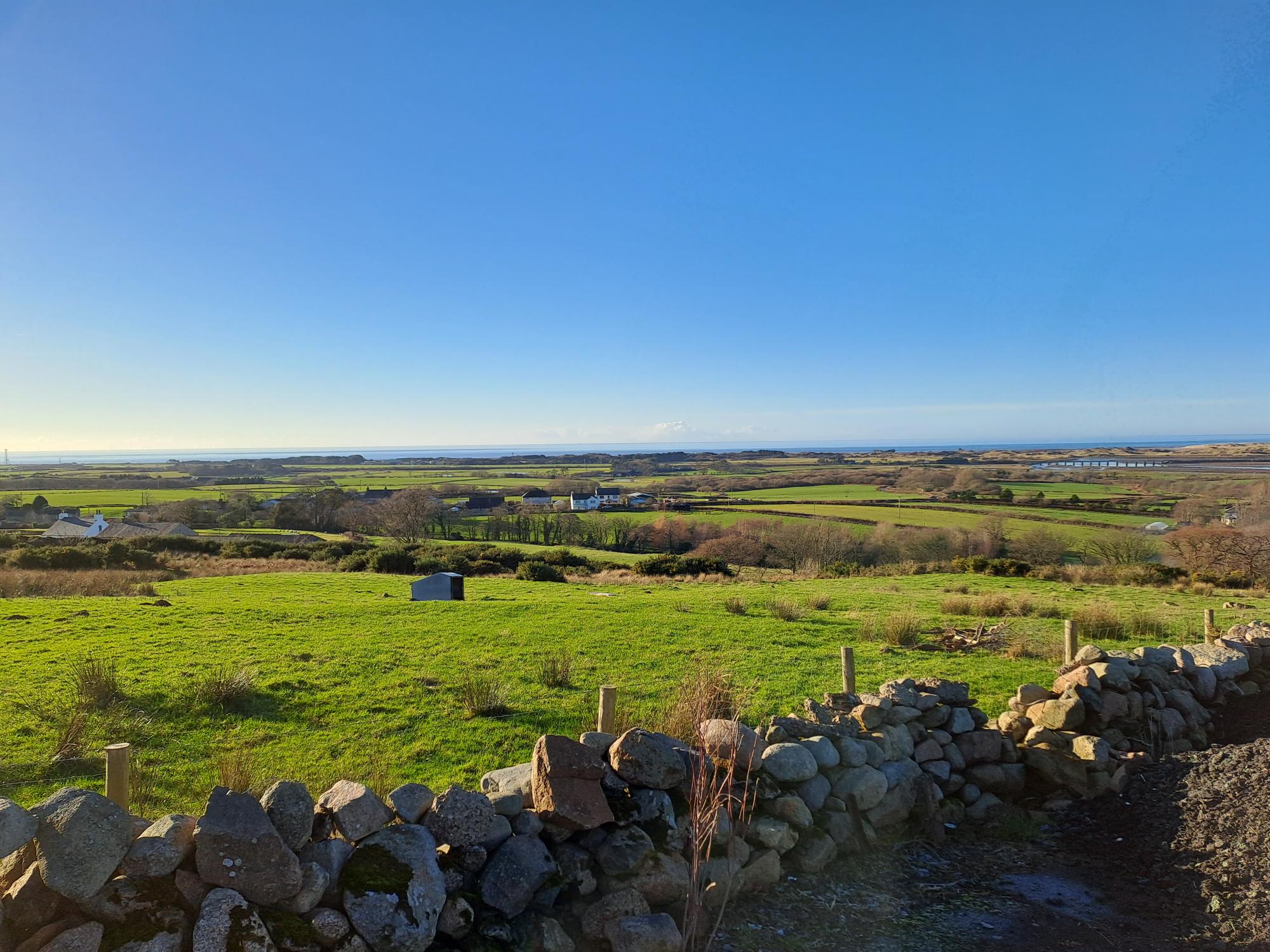
Out on the coastal plain, built form is located on flat and low-lying topography. Vast skies form a backdrop in views towards houses and contributes towards a great sense of openness.
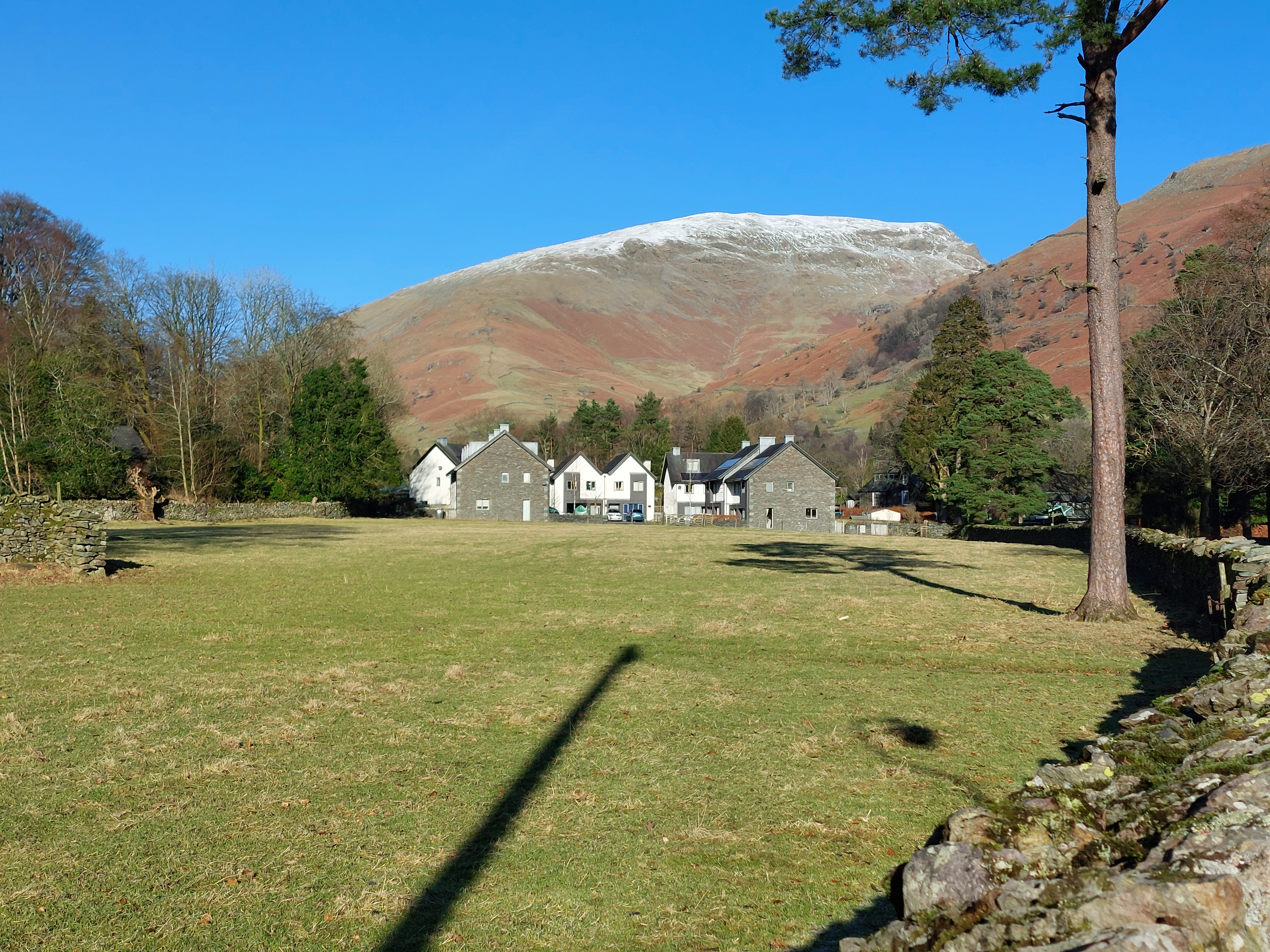
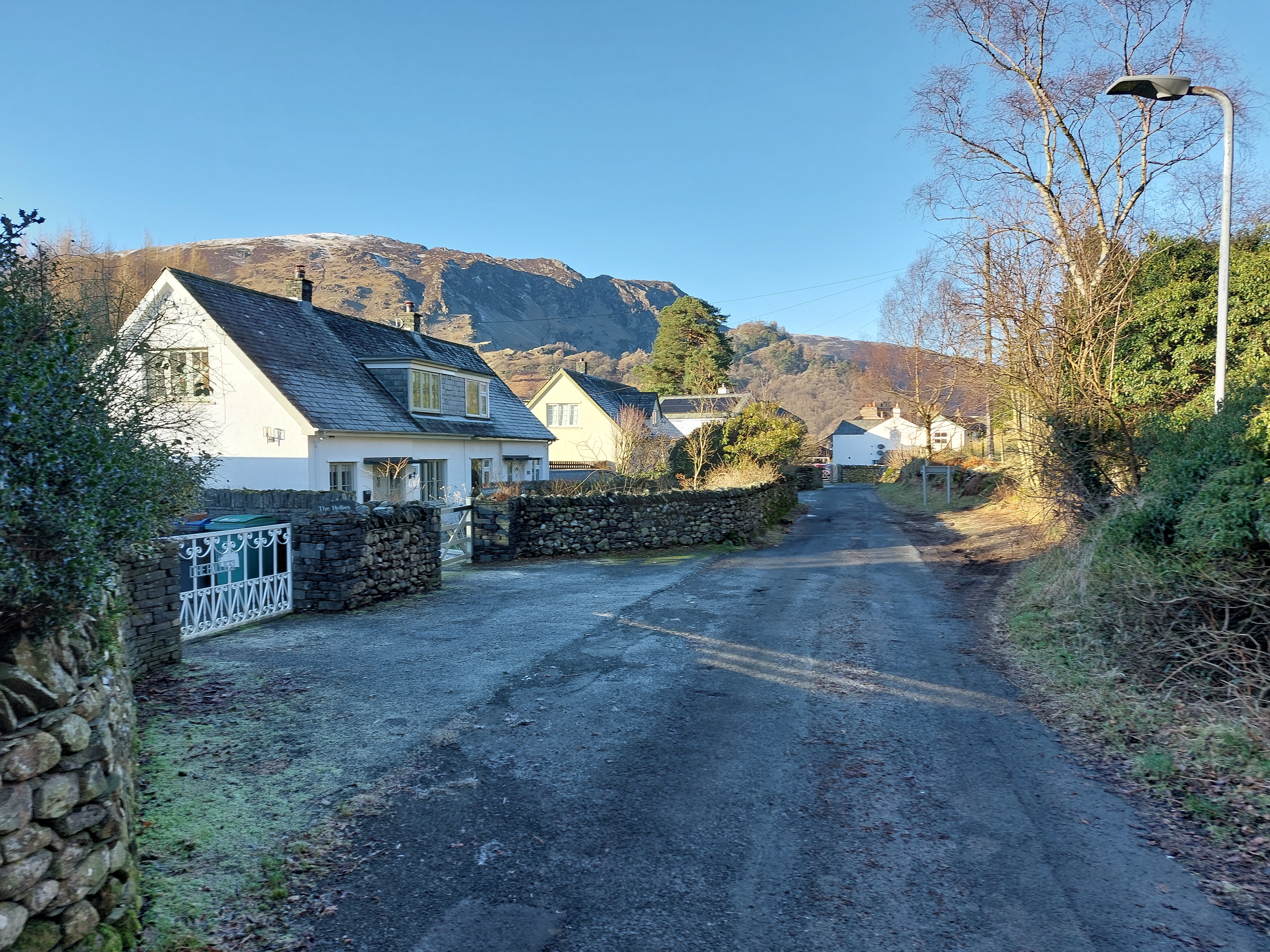
Snow-topped fells create a distinctive backdrop to new development in Grasmere, helping to nestle new built form into the surrounding landscape.
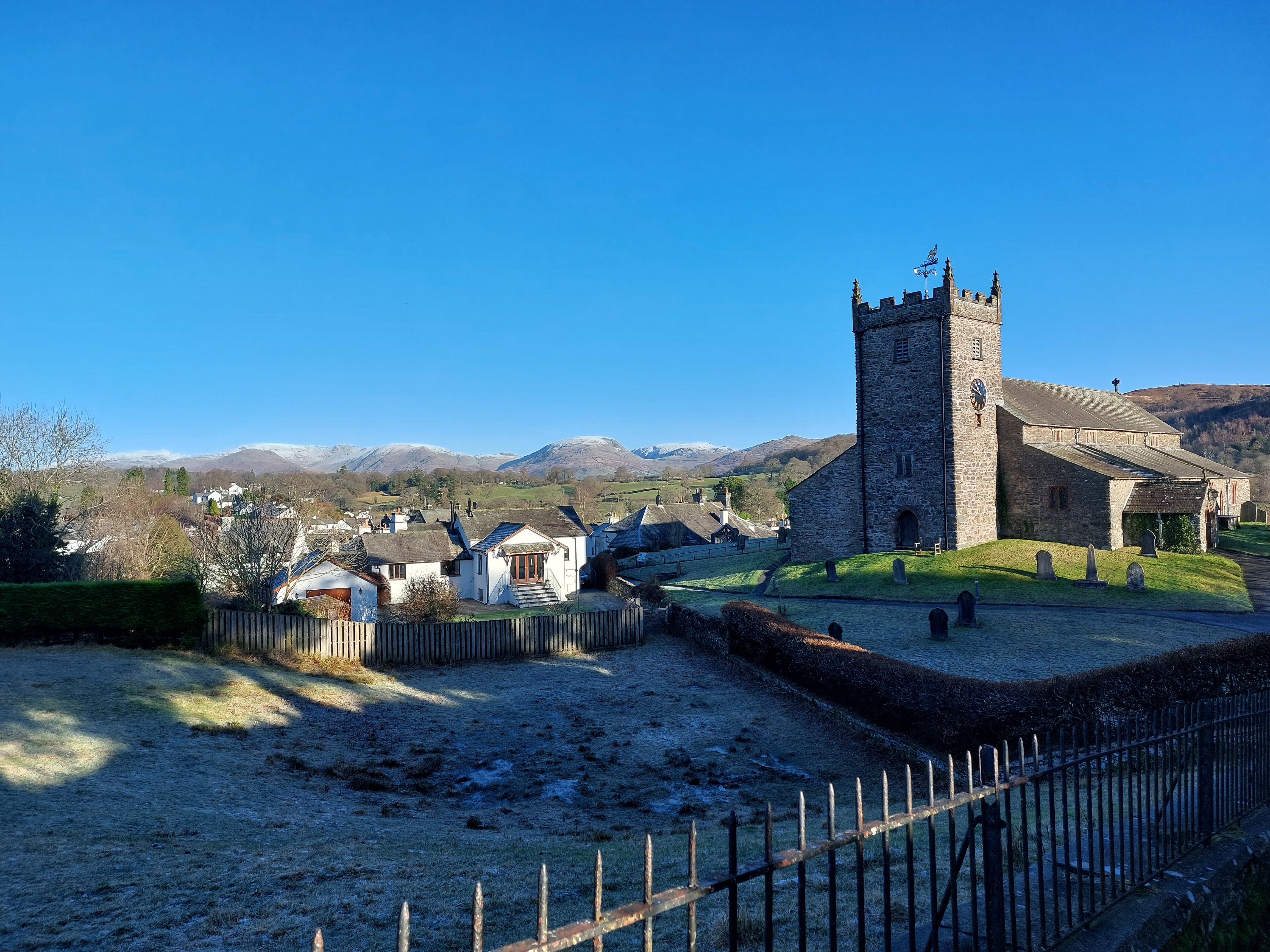
The elevated position of St Michael and All Angels Church creates a distinctive local landmark in views across the nucleated village of Hawkshead.
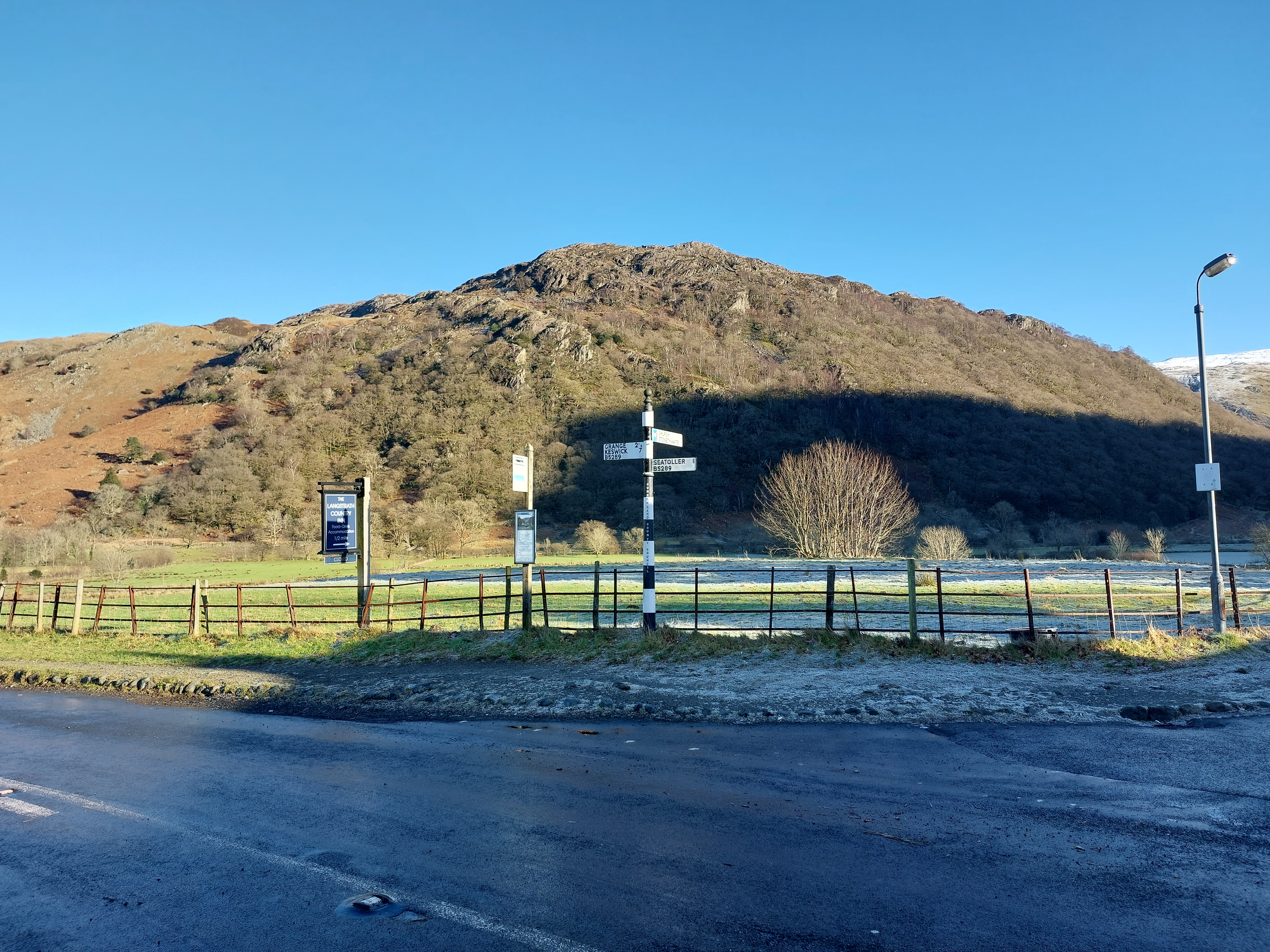
Existing public transport connections along the B5289 in Borrowdale.
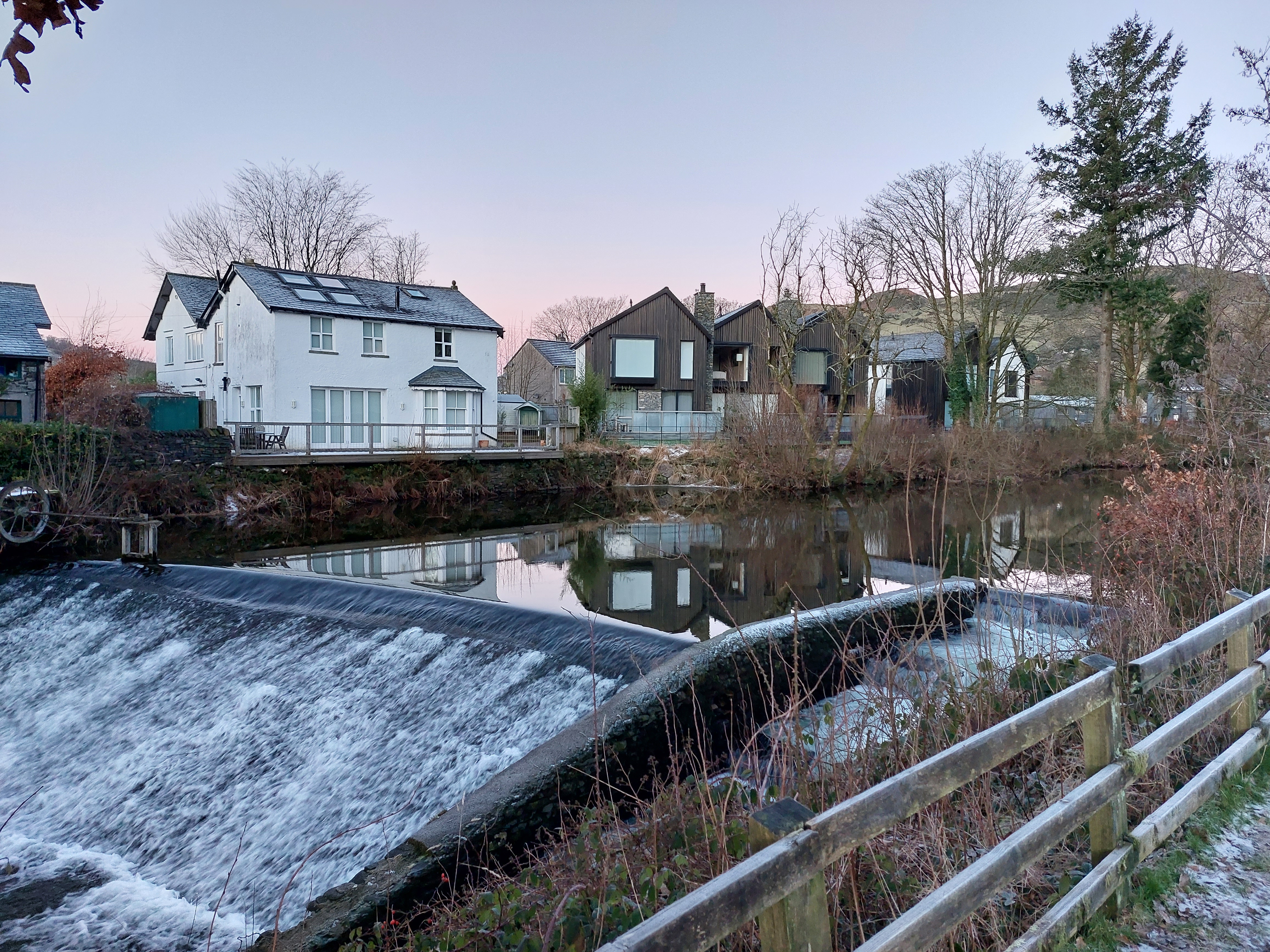
Relationship of new and existing development with the River Kent in Staveley.
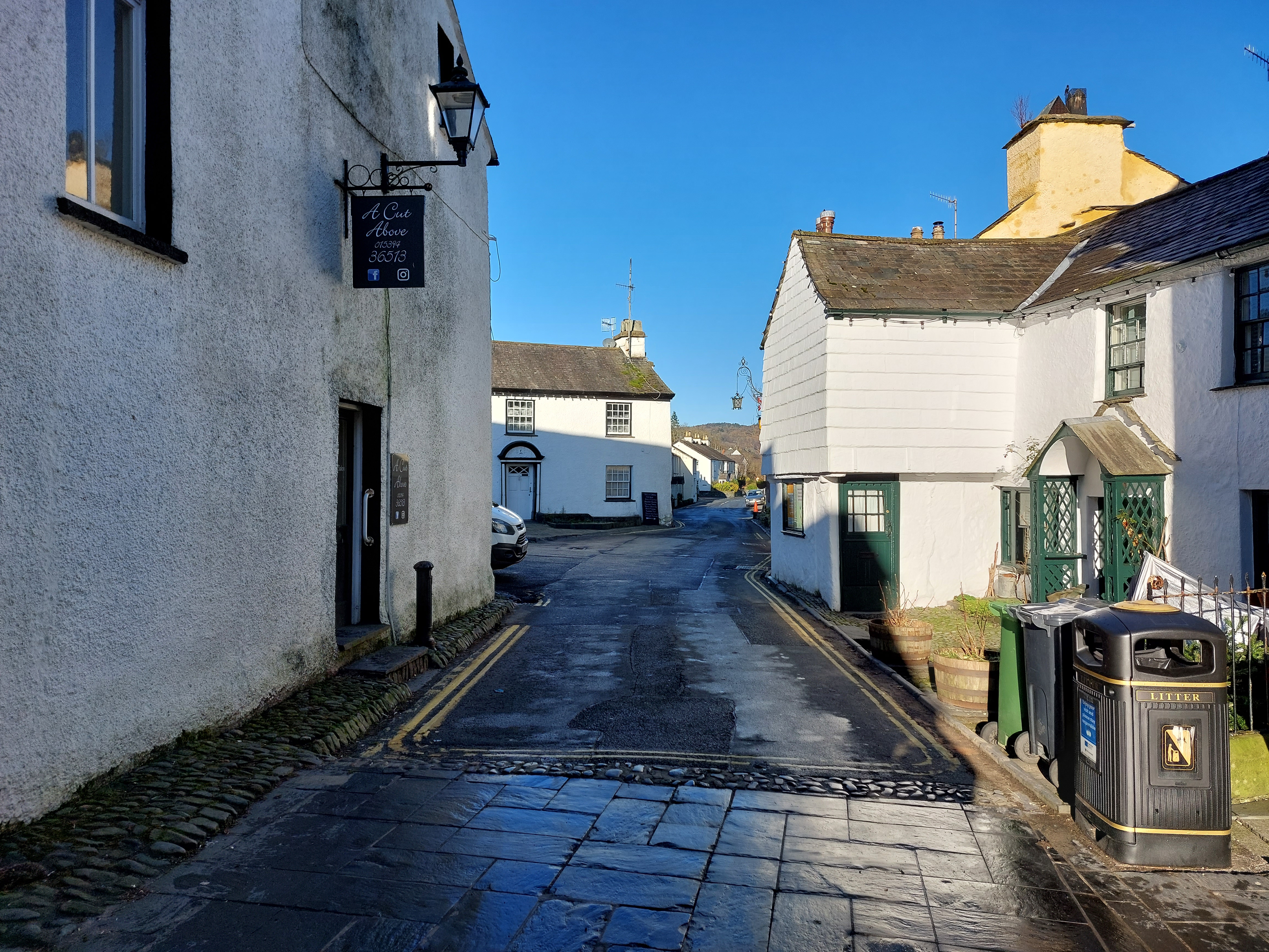
A varied and irregular building line, Hawkshead.
Mature trees help to integrate the street with the surrounding landscape. Varied building lines, front gardens, boundary treatments, street form and green infrastructure help to create a more diverse and interesting streetscape
A mixture of drystone walls, copses and hedgerows bound pastoral fields to the south of Coniston.
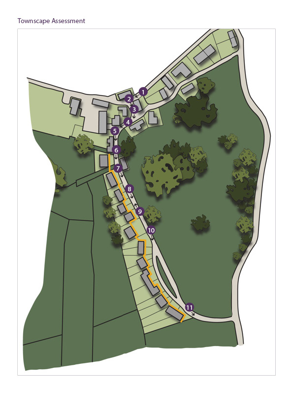
A townscape assessment can also help inform the site context. The numbers on the townscape assessment illustration correspond with the images below.
Click to zoom in
1. The lane has soft verges and is well-enclosed by buildings and drystone walls. The siting of the buildings gives an informal character.
2. The land widens out and is enclosed by buildings set at different angles.
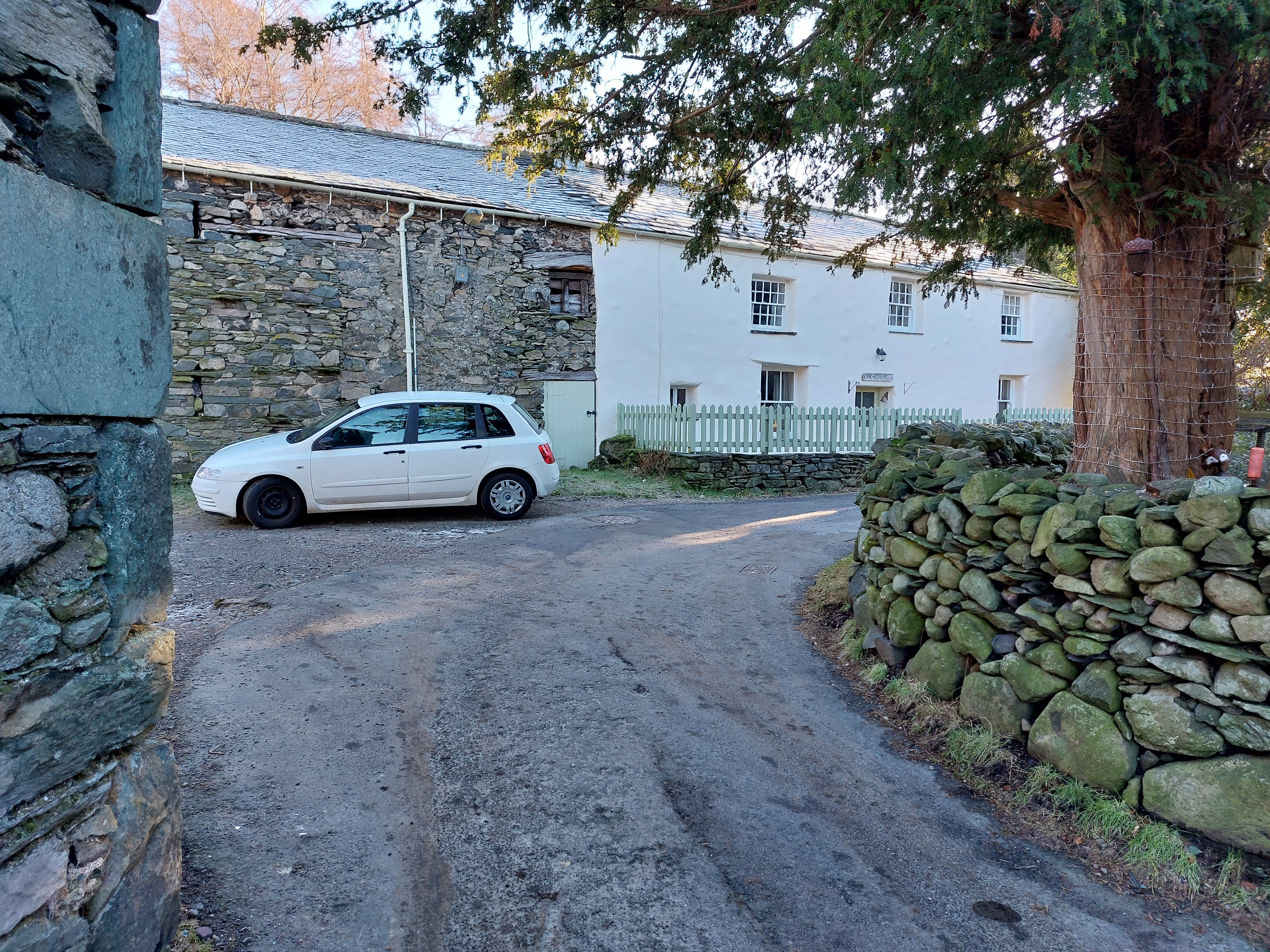
3. A street tree provides a landmark, and the street space continues to be well enclosed, reducing traffic speeds.
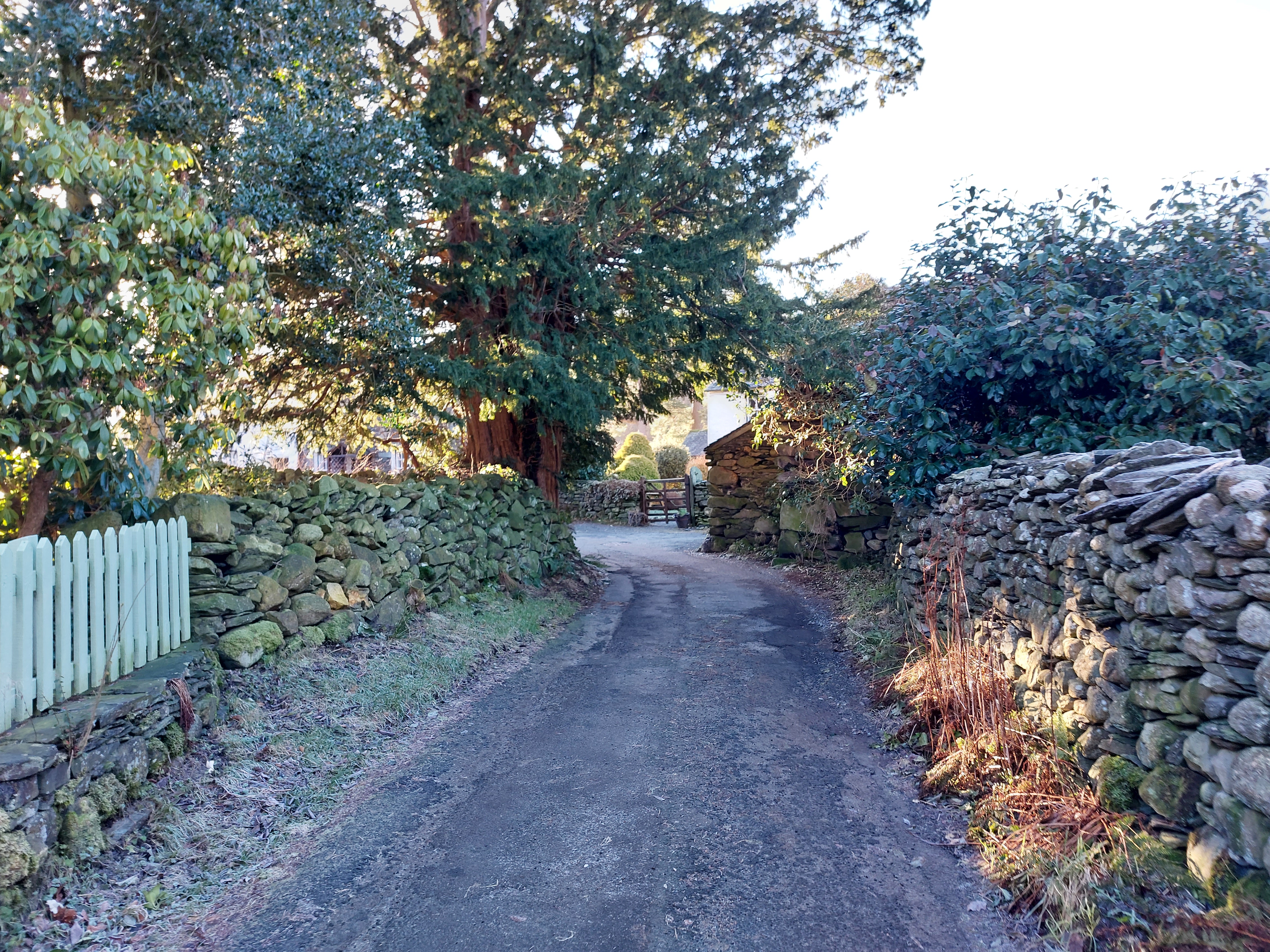
4. Boundaries and vegetation occupy the break in the building line.
5. The different building angles, heights, materials, orientations and designs of buildings give an organic character.
6. The tight enclosure of the lane naturally slows traffic speeds and makes the view more interesting.
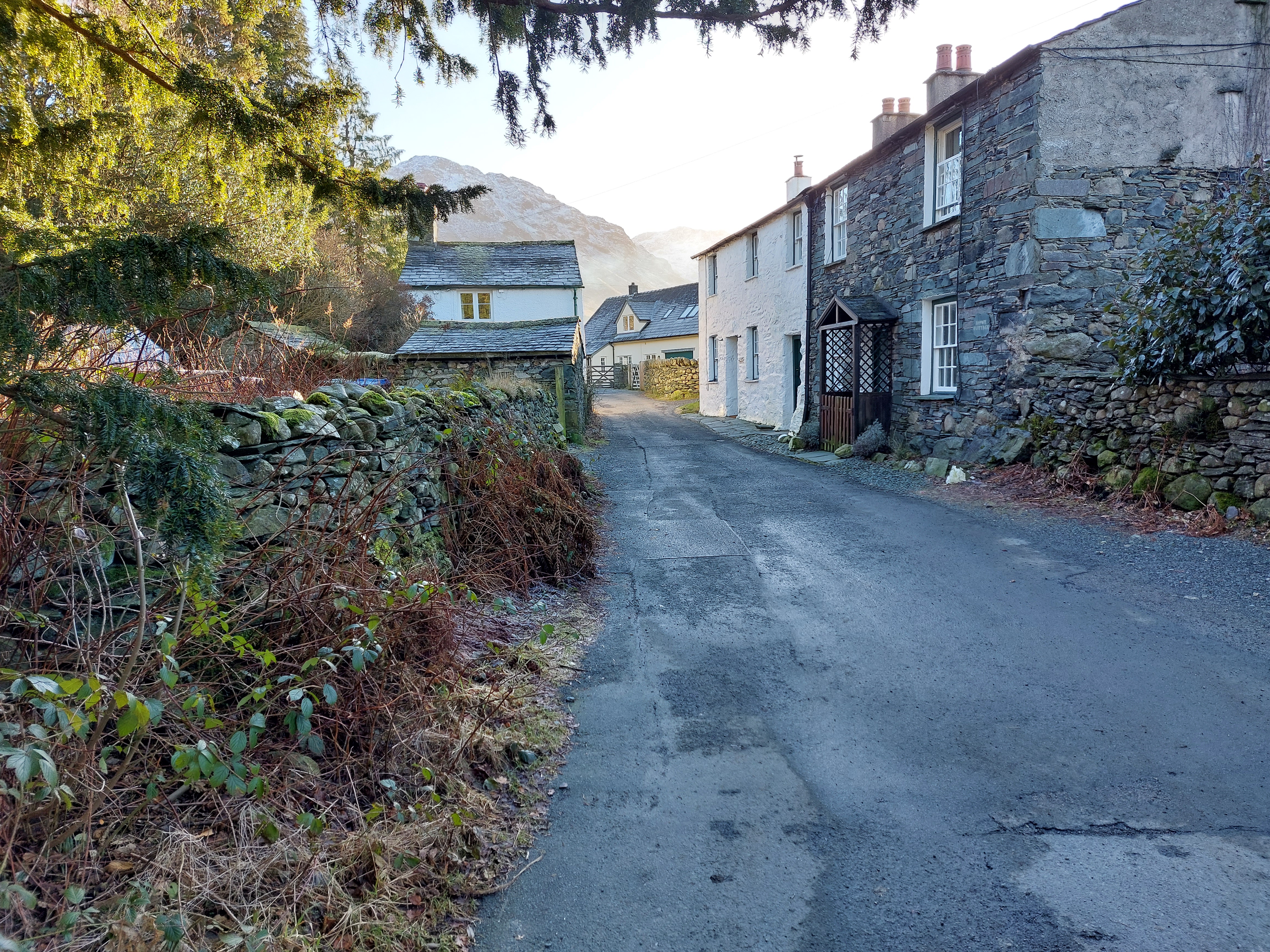
7. The character changes to a more regular line of detached houses but the street retains stone boundaries and a soft verge.
8. The linear character of the space continues, and informal parking spaces provide flexibility.
9. Turning around and looking back, the street has changed to having a regular building line.
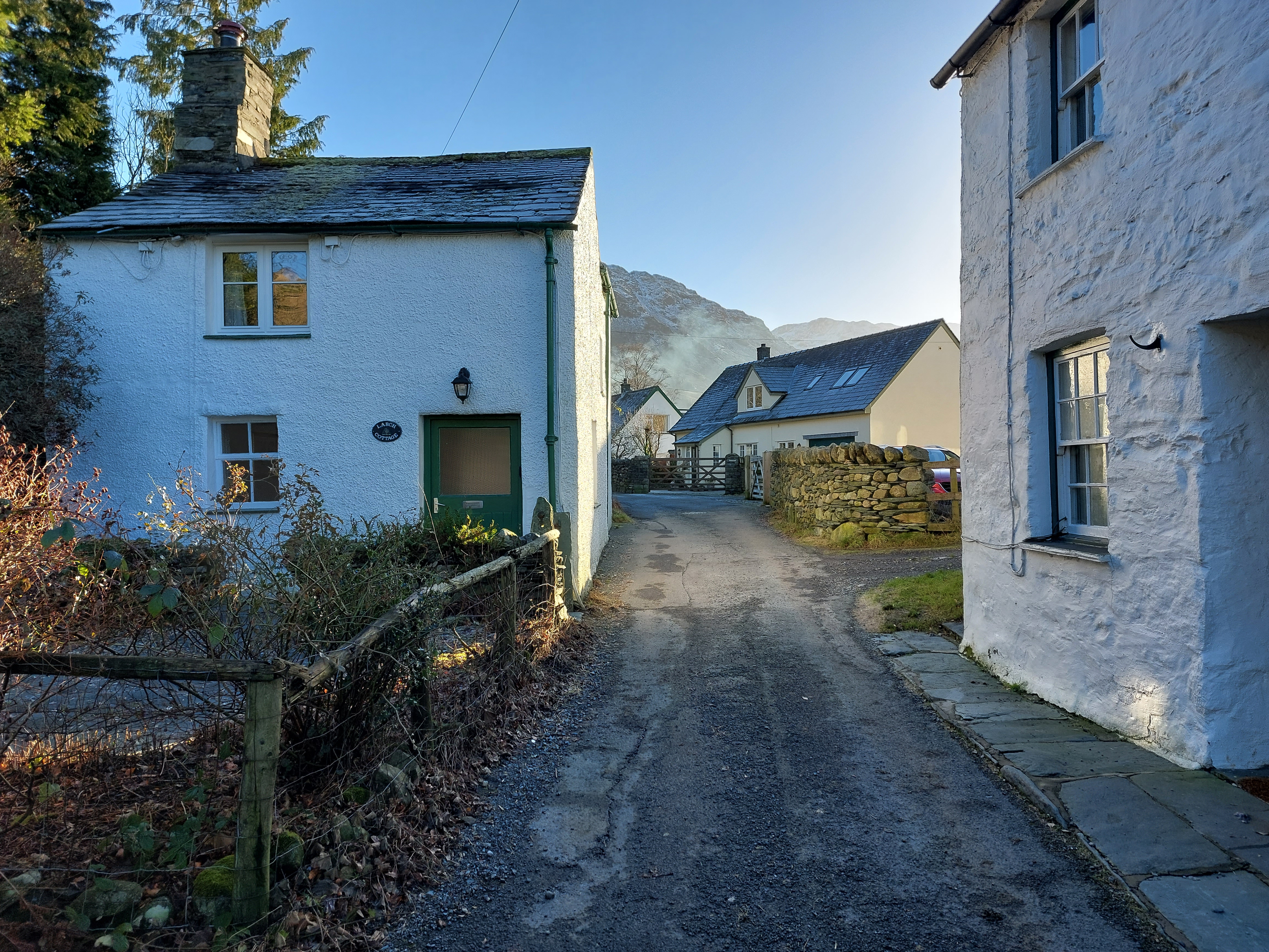
10. The house type changes to mainly semi-detached houses. The density has increased, but the lane still has a linear and informal character.
11. Passing the last house, the rural lane character immediately resumes.
The applicant must consider how the proposal fits into the existing historic landscape setting. This will include not only consideration of visual intrusion and impacts but also any effects of contextual relationships, such as the link between a village and its medieval field system.
The heritage, design and access statement should include a historic character assessment that clearly demonstrates how the proposal responds to the existing neighbourhood and wider natural and cultural landscape of the area. The degree of detail and complexity of this will be proportionate to the size of the development and sensitivity of the site.
At the end of the process the applicant will be able to demonstrate how their proposal actively responds to the distinctive character and identity of an area and has been influenced by local building materials, scale and form, vernacular traditions and settlement pattern.
If the site is in an area covered by a Neighbourhood Plan or Conservation Area Management Plan in place, the proposed development should respond to any relevant design considerations provided in these documents. See Understanding Place: Historic Area Assessments (2017) for further guidance
The example Historic Character Assessment illustration shows what a typical assessment would include:
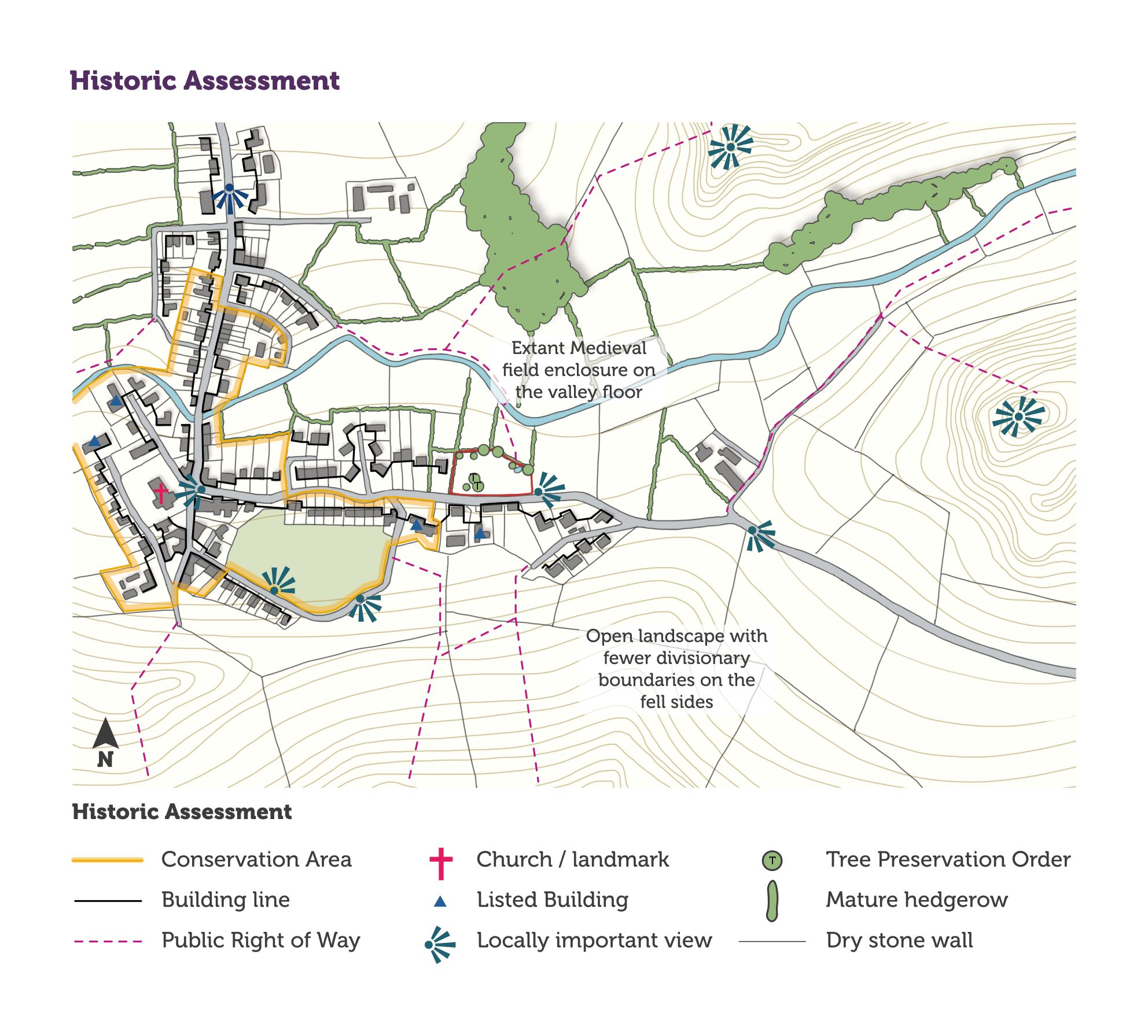
Click to zoom in.
New development must consider potential impacts on heritage assets (both designated and non-designated). This should be conducted early in the development process to inform overall design and identify possible constraints.
The heritage, design and access statement must clearly demonstrate an understanding of the significance and setting of any heritage assets affected by the proposal. Potential impacts (both direct and indirect) on that significance must be reviewed.
The degree of detail and complexity of this assessment will depend on the size of the development and sensitivity of the site. However, it should be suitable to enable an informed planning decision and not be simply a list of sites and features.
The assessment must include:
See our guidance on Heritage Assessment and Information Requirements (2018) and Historic England’s Statements of Heritage Significance guidance for further information