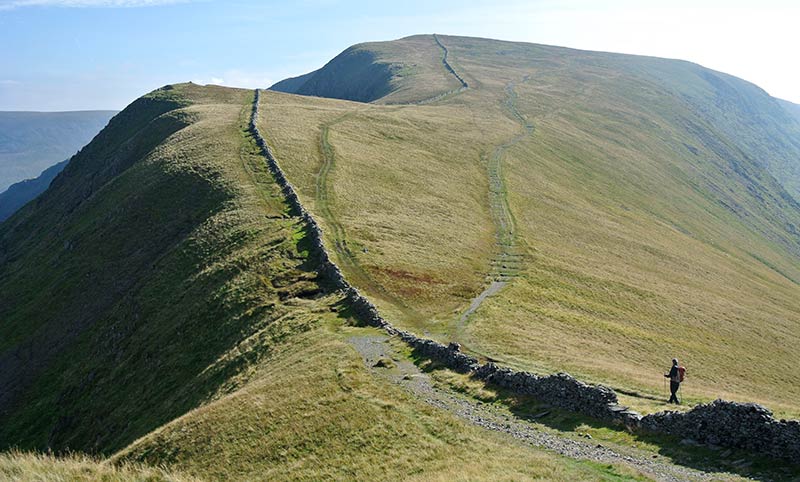
In the summer of 2022 we undertook a hands-on project to investigate High Street, a Roman road that goes for about 20 km over the high fells between Ambleside and Brougham fort near Penrith. The highest point of the road is 828m and is named High Street after the road it sits on.
This community archaeology project aimed to uncover new information about the Roman archaeology and landscape development of the area through a programme of surveys, research and excavation. We focused on a small area on Bampton Common, south of Loadpot Hill.
The High Street Roman Road suffers from erosion but efforts to conserve it are hampered by a lack of precise information about its location, which was originally derived from an Ordnance Survey map annotated in the 1970s to mark the scheduled monument. Scheduled monuments are nationally important archaeological sites which are closely managed.
We used some recent surveys by Historic England to see if we could locate and identify the route of the Roman road. We undertook surveying, geophysical survey and excavating. It also provided an opportunity for the local community to investigate and find out about the Roman archaeology on the common.
The results will help us to manage and protect the site in the future. Here is the report.
You can find out a bit more about the project in these two presentations:
High Street Open Day presentation by Eleanor Kingston - Lead Strategy Advisor on Historic Environment, Lake District National Park
High Street Open Day presentation by Martin Railton - Archaeologist, Eden Heritage Ltd

I'll Take the High Road is just one part of a larger project run by the Foundation for Common Land.

I'll Take the High Road and the wider project run by Foundation for Common Land are supported by the Heritage Fund.