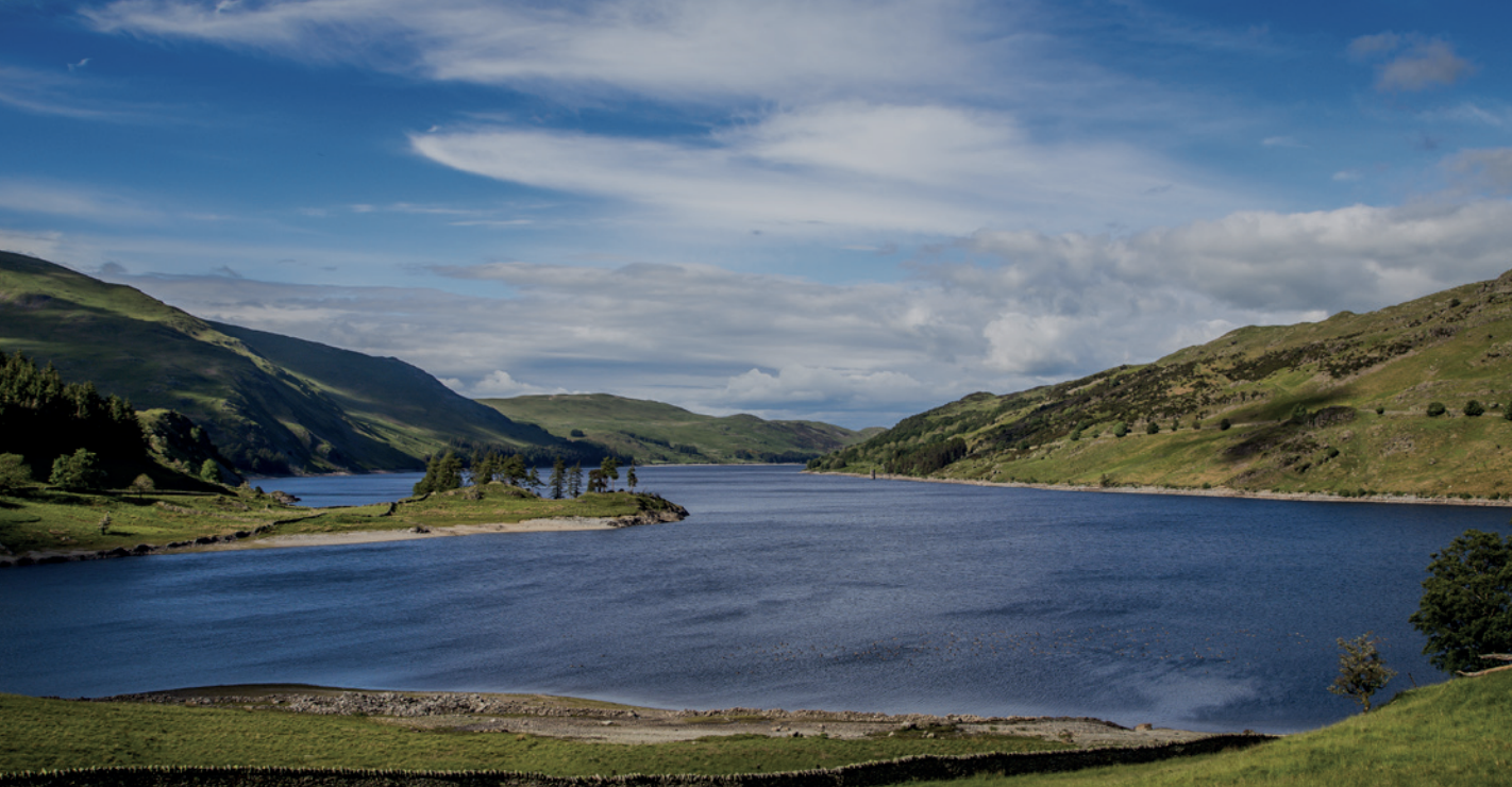
Like Thirlmere, Haweswater is a reservoir valley, flooded in 1935 to create a long, curving body of water running south-west to north-east. It is a tranquil, less visited corner of the Lake District, lying on the region’s north-east edge. Its lack of farms and inbye grazing along the reservoir’s entire length lends most of Haweswater a sense of wilderness.
The head of the valley is dominated by Branstree, Harter Fell, Mardale Ill Bell, High Street and Kidsty Pike, and features the tarns of Small Water and Blea Water, the deepest mountain tarn in the Lake District. At the other end, the valley opens out into the broad and gentle limestone Lowther Valley. Thomas West in his ‘Guide to the Lakes’ described Haweswater as a “sweet but unfrequented lake” and “most pleasantly elegant”.
Although the flooding of Haweswater has hidden any traces of prehistoric settlement in the valley bottom, there is evidence of Bronze Age activity on higher ground, including standing stones, burial cairns and a hillfort at Castle Crag. The highest Roman road in England, known as High Street, and linking forts at Penrith and Ambleside, runs along the high fells on the west side of the valley.
There was also some monastic influence in Haweswater because of the proximity of Shap Abbey which was founded in 1191. Nearby is Lowther Castle, historic seat of the Lowther family, the dominant family in Westmorland, and home to 600 hectares of landscaped parkland and grounds. Grade I listed Askham Hall to the east is another example of a fine designed landscape and formal gardens.
Apart from a little copper mining, slate quarrying and charcoal production, the only significant industry to impact the valley over the centuries is water extraction in the form of the reservoir.
The early farming landscape in the main valley of Haweswater was lost when the small hamlet of Mardale, with its church and Dun Bull Inn, was flooded by the Manchester Corporation. Up until that time, the inn was famous for its autumnal shepherds’ meet.
Before the flooding, the existing lake of Haweswater was the highest natural lake in the Lake District at 211 metres.
At the start of their famous walking tour in 1799, Wordsworth and Coleridge stayed at Bampton, the village at the foot of Haweswater. Both men walked along the shore of the old lake and over the passes into Longsleddale and then Kentmere. Haweswater’s Kidsty Pike subsequently features in Wordsworth’s 1800 poem ‘The Brothers’: “On that tall pike (It is the loneliest place of all these hills) There were two springs which bubbled side by side As if they had been made that they might be Companions for each other: the huge crag Was rent with lightning – one hath disappeared; The other, left behind, is owing still”.
The Haweswater Valley area is the only valley area in the Lake District with no National Trust land ownership. However, United Utilities, the private water company, which has inherited the Manchester Corporation estate, is assisted in its management of the estate by the Royal Society for the Protection of Birds.