We ran a public consultation to hear what the community and potential users think of these plans to inform design. This included two drop in events in September to find out more and meet the delivery teams . These were held on: Tuesday 17th September, 2pm-6pm, LDNPA Northern Office, Threlkeld Quarry and Friday 20th September, 11am-4pm, Threlkeld Village Hall. Over 70 people attended over the two sessions.
We also ran an online survey which was open from 15th July until 30th September. 344 people responded to this survey both online or at the drop in sessions. Here is a summary report of findings from this survey:
Keswick to Threlkeld Linking Paths Consultation Report (PDF)
There will also be future opportunities to respond to planning applications and rights of way creations through their usual processes. Details will be provided here when these become live.
These proposals will help with:
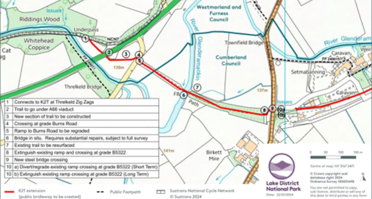
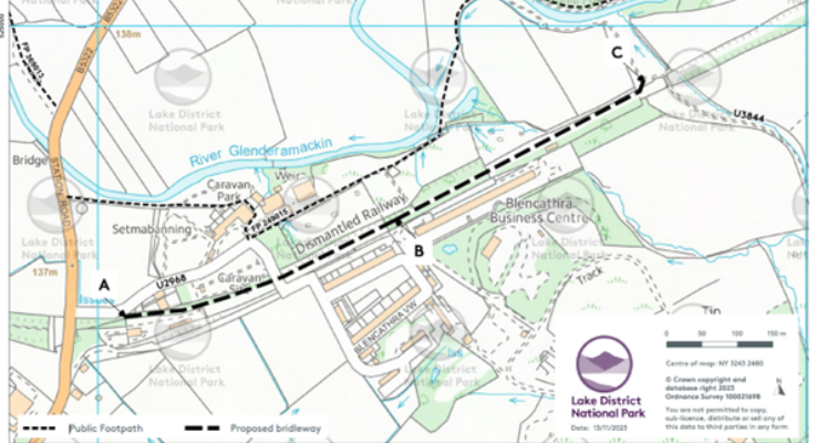
Each section is being funded and delivered separately, due to funding timelines.
Funded by DEFRA Farming in Protected Landscapes. The surfacing of this section is now complete.
When will the routes be built?
This is dependent on funding, community response to the consultation and relevant permissions.
Why can’t we continue as we are?
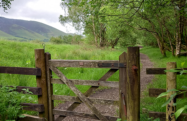
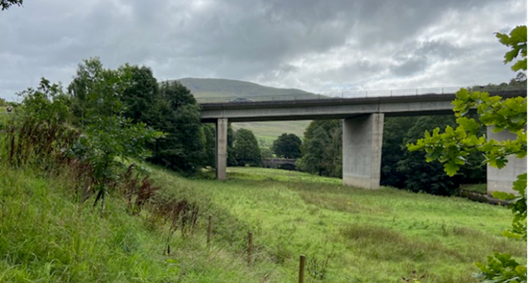
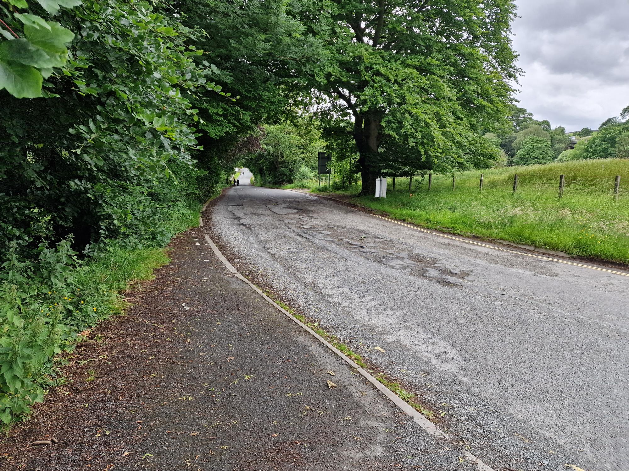
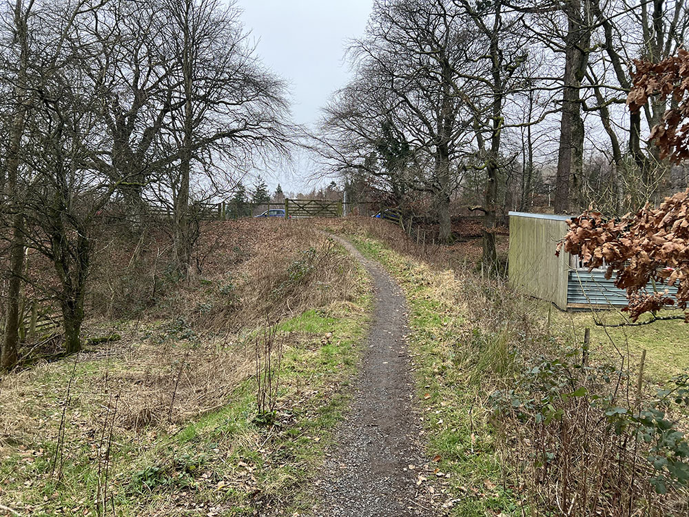
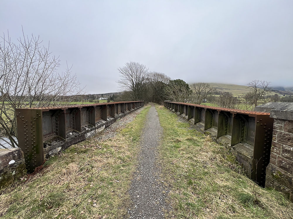
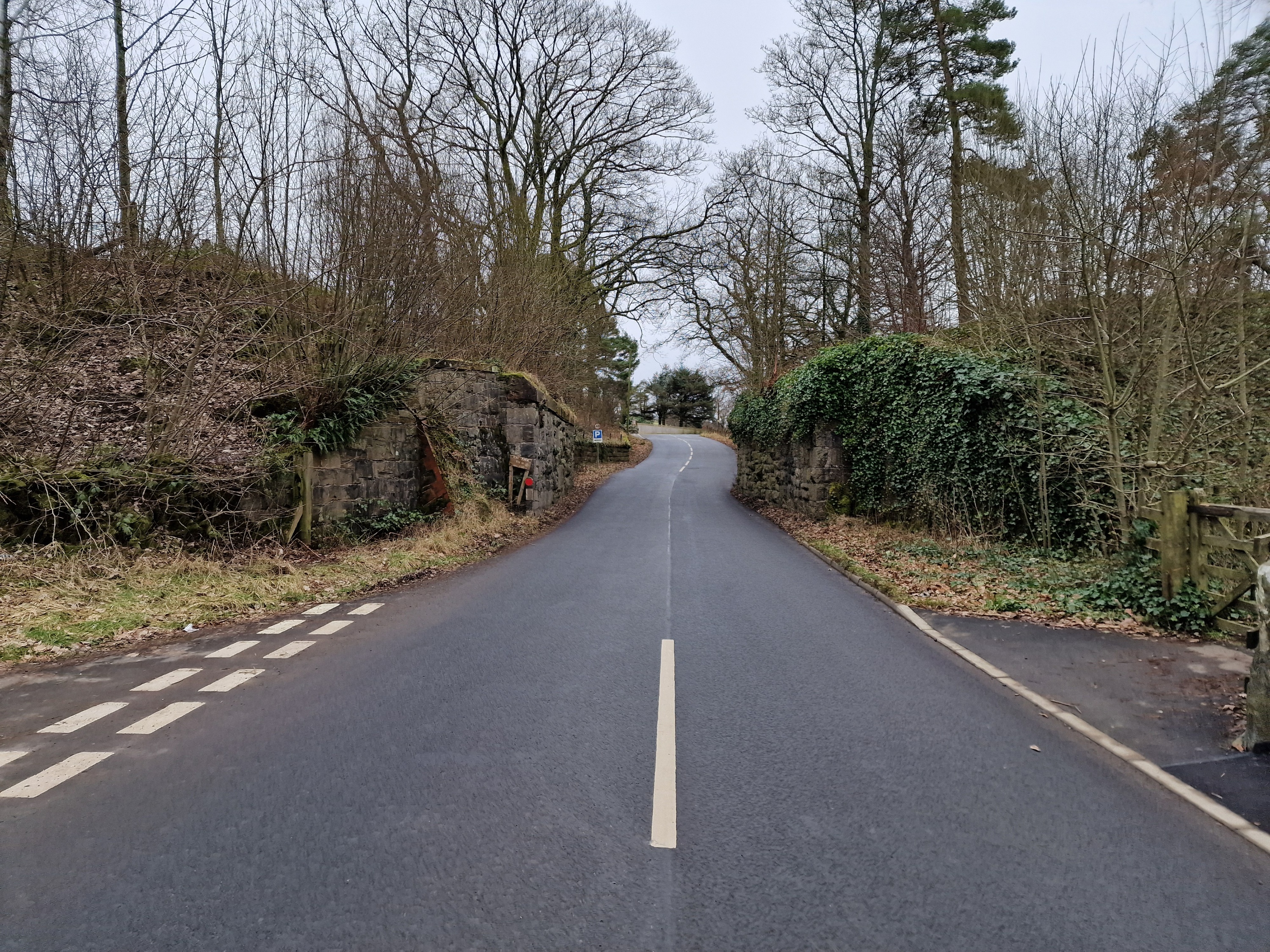
A lot of people do use the existing paths on sections 2 and 3, but at present most of the route is not a public right of way so could be closed at any time and are not maintained. We want to enable people to continue to use these much-loved paths in the future. These routes are also not accessible to many disabled people, are wet in places which becomes icy in winter and involve a steep ramp to a difficult road crossing at Station Road. The underpass section (section 1) could be replaced by the existing public footpath on the other side of the river, but this is on a steep bank subject to river erosion so its long term resilience is doubtful and any works to improve gradients would require tree felling and substantial engineering work on the river bank, which we want to avoid for environmental reasons.
What about parking?
The new routes are designed to link to existing public parking that does have capacity, therefore alleviating some of the parking impacts in the village.
What will be the impact on local businesses?
This link will provide access to Threlkeld Quarry and Mining Museum, Setmabanning camping and caravan site and farm shop, without creating traffic, benefitting these local businesses. Residents and visitors will have more options to cycle or walk safely, reducing traffic in the quarry. The businesses in Threlkeld Village will continue to be popular with walkers using the main trail which will continue to be promoted as the Keswick to Threlkeld Trail so remain the most popular activity.
Who will be able to use the trail?
The trail will be suitable for disabled people, although section 2 and 3 are proposed to be a crushed stone surface so will not be accessible to all wheelchair users. All sections will be open to walkers, cyclists, families with buggies/scooters/balance bikes and dogs. The present thinking is that sections 2 and 3 will definitely be open to horse riders. Section 1 is dependent on relevant permissions, safety audit and the outcome of the consultation.
What will be the impact on wildlife?
The plans have been developed to result in a net gain in biodiversity, so any surfacing and tree removal will be more than compensated by improvements in the wildlife benefit, this could include new tree planting alongside section 3 and hedge reinstatement around section 1. We will avoid tree removal wherever possible but will have to take down some dead or dying ash trees as a result of ash dieback disease and a limited number of self-seeded trees around the bridge and ramp sections. We have met with Keswick and District Red Squirrel Group about how this project can benefit Red Squirrels through safer road crossings, signage and tree planting.
What about the impact on carbon emissions?
There will be some carbon emissions as a result of the construction, but our figures show that these will be more than compensated by the replacement of car journeys with cycling and walking and the benefits of the habitat creation alongside the route. We will be monitoring carbon emissions.


